Garret's Copse

Wood, Forest in Berkshire

England

Garret's Copse

Best Western West Grange Hotel, Cox's Lane, off Bath Road, Midgham, Thatcham, Berks The West Grange Hotel is one of the hotels in the Best Western hotel chain.

<a href="https://www.geograph.org.uk/photo/4628014">SU5466 : Access road to Best Western West Grange Hotel, Cox's Lane, off Bath Road, Midgham, Thatcham, Berks</a>.
Best Western West Grange Hotel, Cox's Lane, off Bath Road, Midgham, Thatcham, Berks Credit: P L Chadwick

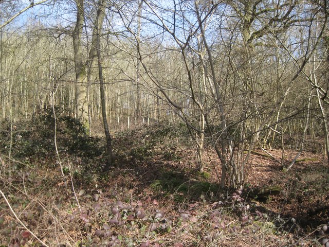
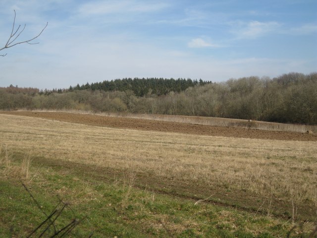
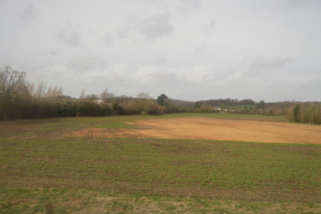
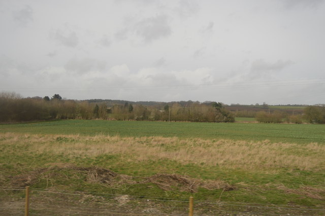
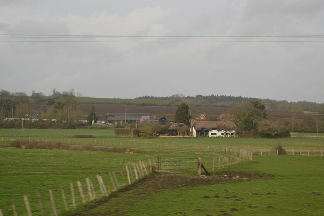
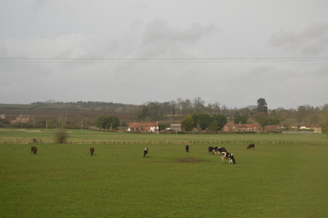
Garret's Copse is a picturesque woodland located in Berkshire, England. Covering an area of approximately 50 acres, the copse is home to a diverse range of plant and animal species. The woodland is characterized by its dense canopy of oak, beech, and chestnut trees, which provide a habitat for numerous bird species such as woodpeckers, owls, and thrushes.

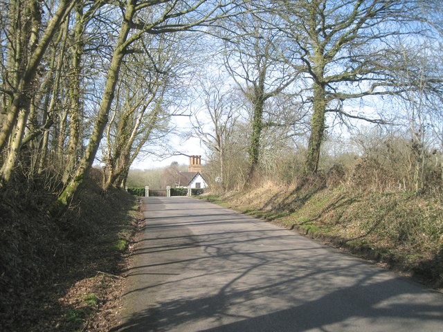
Tranquil walking paths wind through the copse, offering visitors the opportunity to explore its natural beauty and observe wildlife in their natural habitat. The woodland floor is carpeted with a variety of wildflowers, ferns, and mosses, adding to the enchanting atmosphere of the forest.

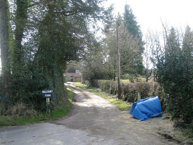
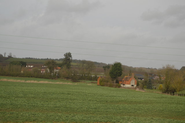
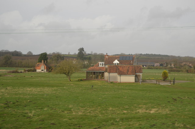
Garret's Copse is a popular destination for nature lovers, hikers, and birdwatchers seeking a peaceful retreat from the hustle and bustle of urban life. The copse is also a valuable ecological resource, serving as a vital green space for the local community and providing a sanctuary for wildlife to thrive.

Overall, Garret's Copse is a hidden gem in Berkshire, offering visitors a chance to connect with nature and experience the beauty of a traditional English woodland.

If you have any feedback on the listing, please let us know in the comments section below.

Garret's Copse Images

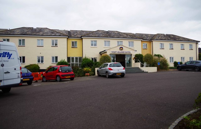
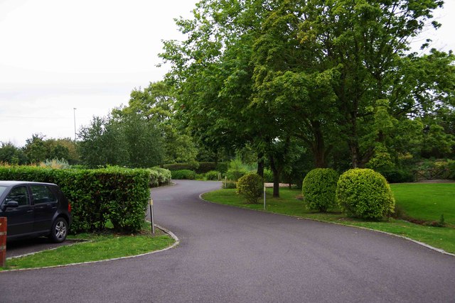
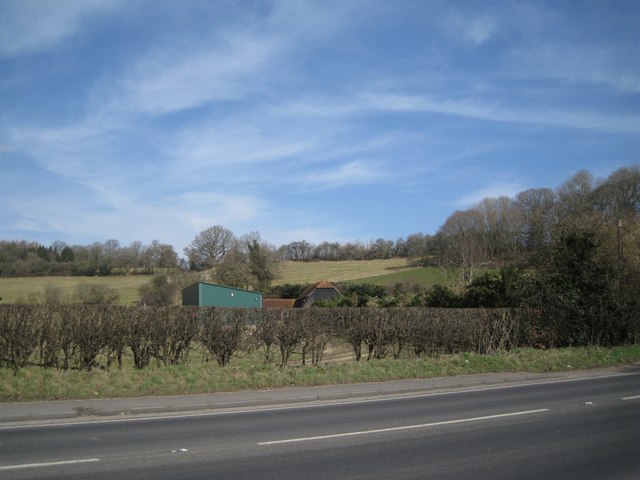
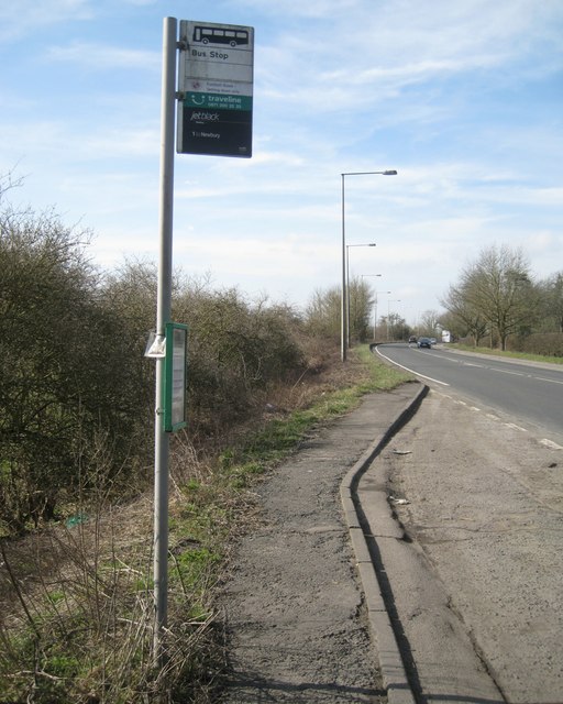
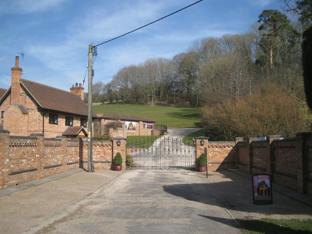
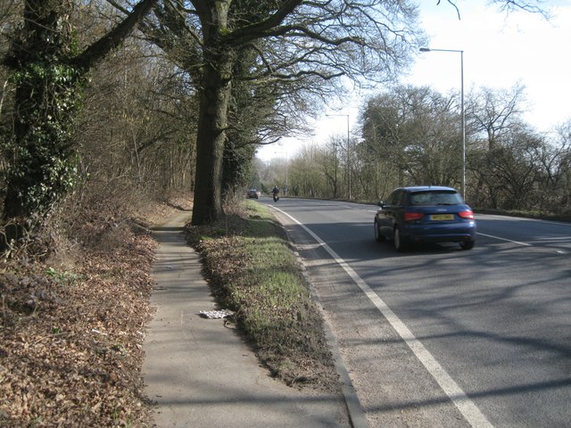
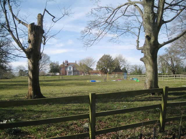
Images are sourced within 2km of 51.406598/-1.2086184 or Grid Reference SU5567. Thanks to Geograph Open Source API. All images are credited.

Best Western West Grange Hotel, Cox's Lane, off Bath Road, Midgham, Thatcham, Berks The West Grange Hotel is one of the hotels in the Best Western hotel chain.

<a href="https://www.geograph.org.uk/photo/4628014">SU5466 : Access road to Best Western West Grange Hotel, Cox's Lane, off Bath Road, Midgham, Thatcham, Berks</a>.
Best Western West Grange Hotel, Cox's Lane, off Bath Road, Midgham, Thatcham, Berks
The West Grange Hotel is one of the hotels in the Best Western hotel chain. SU5466 : Access road to Best Western West Grange Hotel, Cox's Lane, off Bath Road, Midgham, Thatcham, Berks.
Access road to Best Western West Grange Hotel, Cox's Lane, off Bath Road, Midgham, Thatcham, Berks Looking away from the hotel in the direction of the junction with Cox's Lane.

<a href="https://www.geograph.org.uk/photo/4627996">SU5466 : Best Western West Grange Hotel, Cox's Lane, off Bath Road, Midgham, Thatcham, Berks</a>.
Access road to Best Western West Grange Hotel, Cox's Lane, off Bath Road, Midgham, Thatcham, Berks
Looking away from the hotel in the direction of the junction with Cox's Lane. SU5466 : Best Western West Grange Hotel, Cox's Lane, off Bath Road, Midgham, Thatcham, Berks.
The view from the bus stop on the A4 west of Woolhampton The land climbs north away from the valley of the river Kennet. On the right is the west corner of Great Mounts Copse.
The view from the bus stop on the A4 west of Woolhampton
The land climbs north away from the valley of the river Kennet. On the right is the west corner of Great Mounts Copse.
Bus stop, westbound A4 west of Woolhampton It's served by the excellent half-hourly No.1 bus between Reading and Newbury, a black double-decker with on-board wi-fi. Once out of the Reading suburbs and satellites the bus really gets moving.
Bus stop, westbound A4 west of Woolhampton
It's served by the excellent half-hourly No.1 bus between Reading and Newbury, a black double-decker with on-board wi-fi. Once out of the Reading suburbs and satellites the bus really gets moving.
Luxury boarding kennels for cats and dogs west of Woolhampton The kennels themselves are out of sight up round to the left. A satellite photo doesn't show these gates and flank walls. On the skyline is Great Mounts Copse.
Luxury boarding kennels for cats and dogs west of Woolhampton
The kennels themselves are out of sight up round to the left. A satellite photo doesn't show these gates and flank walls. On the skyline is Great Mounts Copse.
Footway alongside trees in the verge, eastbound A4 approaching Woolhampton Bordering Great Mounts Copse on the left.
Footway alongside trees in the verge, eastbound A4 approaching Woolhampton
Bordering Great Mounts Copse on the left.
Great Mounts Copse, west of Woolhampton The view north and upslope from the A4 footway.
Great Mounts Copse, west of Woolhampton
The view north and upslope from the A4 footway.
Hall Court, north of Woolhampton From New Road Hill the view is of a spacious setting for a house of character, disfigured by a lopped tree and the garish paraphernalia of horse-riding.
Hall Court, north of Woolhampton
From New Road Hill the view is of a spacious setting for a house of character, disfigured by a lopped tree and the garish paraphernalia of horse-riding.
Fields, woods and a plantation northeast of Hall Court near Woolhampton
Northwest on New Road Hill towards East Lodge and Midgham Green
Track to Hallcourt Farm off New Road Hill The farm is at the back of the old house called Hall Court, seen in <a href="https://www.geograph.org.uk/photo/4641173">SU5667 : Hall Court, north of Woolhampton</a>.
Track to Hallcourt Farm off New Road Hill
The farm is at the back of the old house called Hall Court, seen in SU5667 : Hall Court, north of Woolhampton.
Harrods Distribution Depot
Farmland, Kennet Valley
In the Kennet Valley
Isolated home
Isolated home
Midgham Marsh
Midgham Marsh
Grazing, The Kennet Valley
Show me another place!

Garret's Copse is located at Grid Ref: SU5567 (Lat: 51.406598, Lng: -1.2086184)

Unitary Authority: West Berkshire

Police Authority: Thames Valley

What 3 Words

///asleep.videos.ballroom. Near Thatcham, Berkshire

Related Wikis

Midgham

Midgham is a village and civil parish occupying slopes and the flood plain on the north side of the River Kennet, which in summer months draws much of...

Colthrop

Colthrop is a suburb of the town of Thatcham in the English county of Berkshire, England. == Geography == Colthrop is part of the civil parish of Thatcham...

Midgham Green

Midgham Green is a hamlet in the civil parish of Midgham in the English county of Berkshire. The settlement lies near to the A4 road and is located approximately...

Midgham Lock

Midgham Lock is a lock on the Kennet and Avon Canal, between Thatcham and Woolhampton, Berkshire, England. Midgham Lock was built between 1718 and 1723...

Nearby Amenities

Located within 500m of 51.406598,-1.2086184
Woodside Farm
Landuse: farmland
Lat/Long: 51.4056429/-1.2054539
Kiln Meadows Farm
Landuse: farmland
Lat/Long: 51.4096628/-1.2130723
The data included in this document is from www.openstreetmap.org. The data is made available under ODbL.

Have you been to Garret's Copse?

Leave your review of Garret's Copse below (or comments, questions and feedback).