Alfardisworthy

Settlement in Devon Torridge

England

Alfardisworthy

Alfardisworthy Holy Well <span class="nowrap"><a title="https://historicengland.org.uk/listing/the-list/list-entry/1392425?section=official-list-entry" rel="nofollow ugc noopener" href="https://historicengland.org.uk/listing/the-list/list-entry/1392425?section=official-list-entry">Link</a><img style="margin-left:2px;" alt="External link" title="External link - shift click to open in new window" src="https://s1.geograph.org.uk/img/external.png" width="10" height="10"/></span>
Alfardisworthy Holy Well Credit: Sandy Gerrard

Alfardisworthy is a small village located in the county of Devon, England. Situated in the South West region of the country, it lies approximately 8 miles north of the town of Bideford. With a population of just over 200 residents, Alfardisworthy is known for its tranquil and picturesque setting.

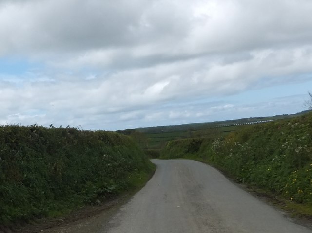
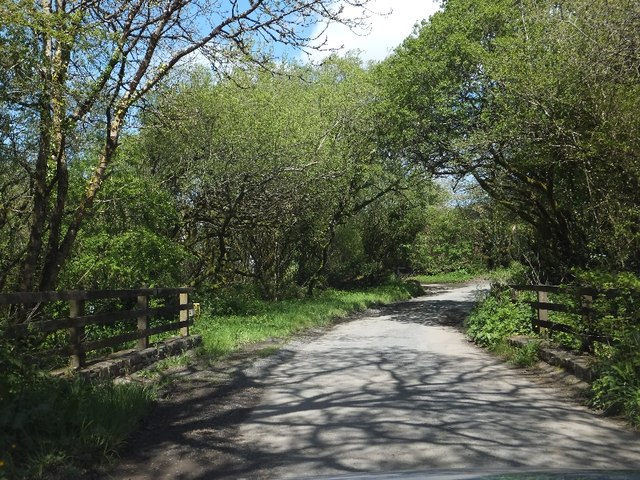
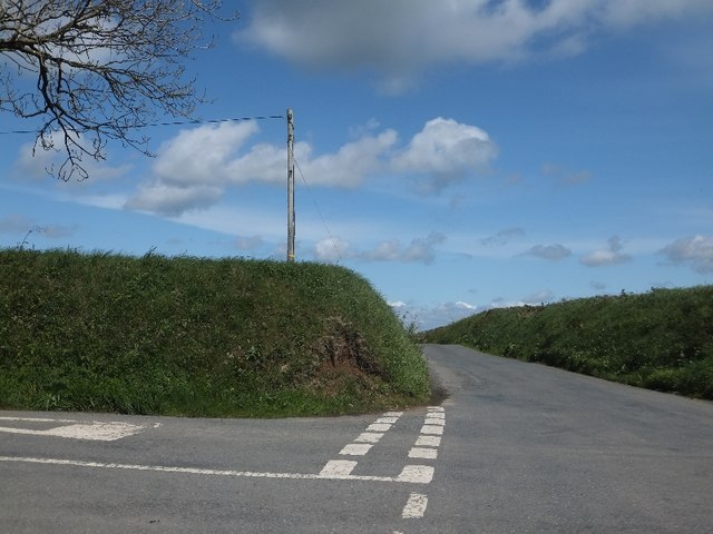
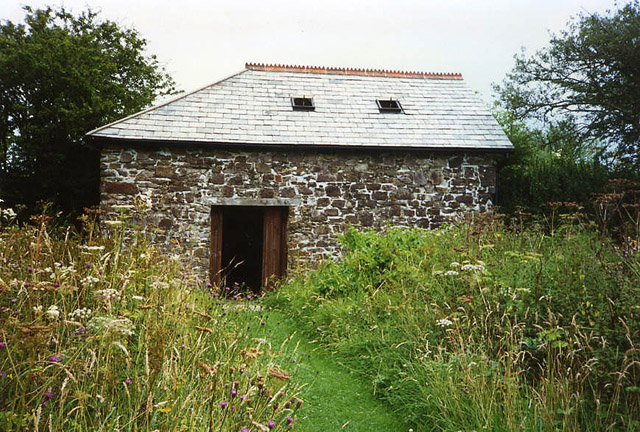
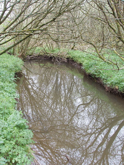
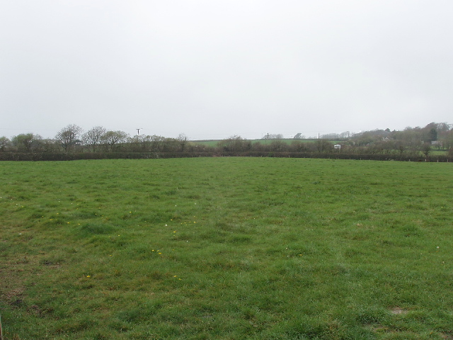
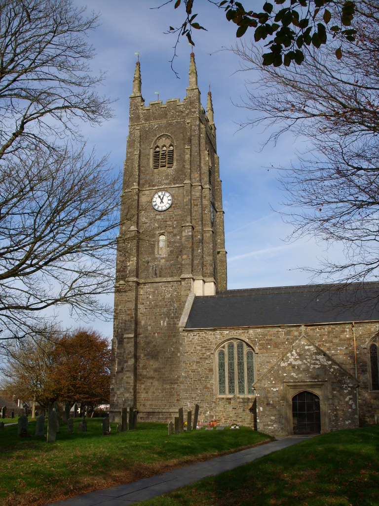
The village is surrounded by rolling hills and lush green fields, offering residents and visitors stunning views of the countryside. The area is dotted with traditional stone cottages, giving it a charming and quaint atmosphere. Many of the buildings in Alfardisworthy date back several centuries, showcasing the village's rich history.

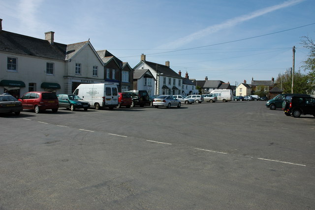
Despite its small size, Alfardisworthy has a close-knit community and a welcoming atmosphere. The village features a local pub, The Red Lion, which serves as a social hub for residents and visitors alike. The pub offers a range of traditional British dishes and locally brewed ales.

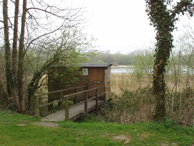
The surrounding area of Alfardisworthy offers numerous opportunities for outdoor activities and exploration. The nearby Tarka Trail provides scenic walking and cycling routes, allowing visitors to appreciate the natural beauty of the region. Additionally, the stunning coastline of North Devon is easily accessible, with popular destinations such as Westward Ho! and Clovelly just a short drive away.

Overall, Alfardisworthy is a peaceful village that offers a tranquil escape from the hustle and bustle of city life. With its beautiful surroundings and friendly community, it is an ideal destination for those seeking a relaxing and authentic English countryside experience.

If you have any feedback on the listing, please let us know in the comments section below.

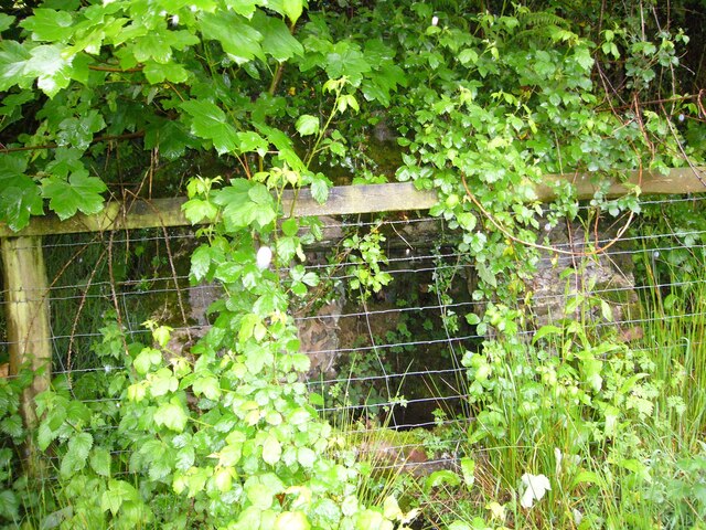
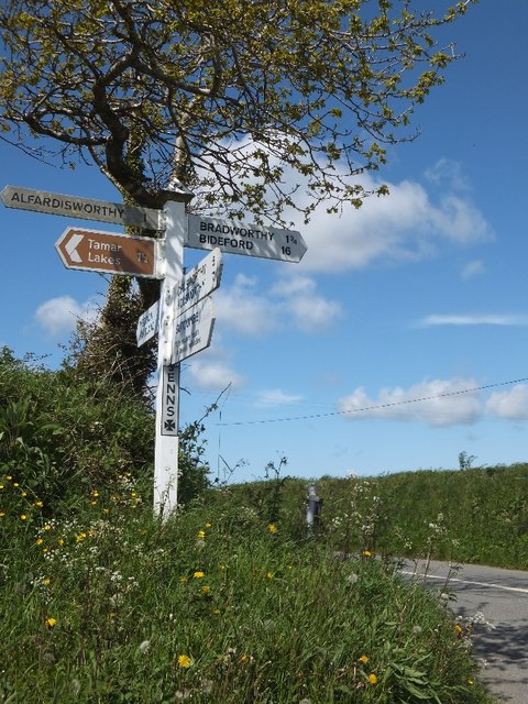
Alfardisworthy Images

Images are sourced within 2km of 50.879877/-4.429356 or Grid Reference SS2911. Thanks to Geograph Open Source API. All images are credited.

Alfardisworthy Holy Well <span class="nowrap"><a title="https://historicengland.org.uk/listing/the-list/list-entry/1392425?section=official-list-entry" rel="nofollow ugc noopener" href="https://historicengland.org.uk/listing/the-list/list-entry/1392425?section=official-list-entry">Link</a><img style="margin-left:2px;" alt="External link" title="External link - shift click to open in new window" src="https://s1.geograph.org.uk/img/external.png" width="10" height="10"/></span>
Alfardisworthy Holy Well
Road from Virworthy to Virworthy Wharfe This minor road runs west along a slight ridge between banks and low hedges.  The spelling "Wharfe" appears on OS maps.
Road from Virworthy to Virworthy Wharfe
This minor road runs west along a slight ridge between banks and low hedges. The spelling "Wharfe" appears on OS maps.
The track to Virworthy Mill
Bridge over stream near Pennybrook Farm The stream flows into the Lower Tamar Lake
Bridge over stream near Pennybrook Farm
The stream flows into the Lower Tamar Lake
Farm buildings at Newlands The sign advertises a farm shop with pork for sale.
Farm buildings at Newlands
The sign advertises a farm shop with pork for sale.
Signpost at Jenns Cross
The road to Bradworthy at Jenns Cross The road is bounded by earth banks and occasional trees.
The road to Bradworthy at Jenns Cross
The road is bounded by earth banks and occasional trees.
Bend in the road south of Jenns Cross The road turns through a right angle and follows two sides of the field on the left.
Bend in the road south of Jenns Cross
The road turns through a right angle and follows two sides of the field on the left.
Bradworthy: Bude Canal, Virworthy Wharf The Bude Canal was active from 1823 to 1891. Sand was brought from Bude to Virworthy as fertiliser for local farms, where the soil is acid and heavy and had in places been uncultivated until the arrival of the canal. This branch acted as feeder for the rest of the system, water being supplied to the canal from the Lower Tamar Lake nearby. The wharf building was used to store valuable or perishable goods
Bradworthy: Bude Canal, Virworthy Wharf
The Bude Canal was active from 1823 to 1891. Sand was brought from Bude to Virworthy as fertiliser for local farms, where the soil is acid and heavy and had in places been uncultivated until the arrival of the canal. This branch acted as feeder for the rest of the system, water being supplied to the canal from the Lower Tamar Lake nearby. The wharf building was used to store valuable or perishable goods
Virworthy Mill from the Bude Canal towpath Virworthy Mill viewed across fields from the Bude Canal towpath.
Virworthy Mill from the Bude Canal towpath
Virworthy Mill viewed across fields from the Bude Canal towpath.
Bird hide, Lower Tamar Lake These lakes originally provided water for the Bude Canal, and provide drinking water for Bude. The Lower Lake is predominantly managed as a nature reserve as it is popular with many wildfowl, and the bird hide is open to the public. See South West Lakes Trust website <span class="nowrap"><a title="http://www.swlakestrust.org.uk/index.php?id=465" rel="nofollow ugc noopener" href="http://www.swlakestrust.org.uk/index.php?id=465">Link</a><img style="margin-left:2px;" alt="External link" title="External link - shift click to open in new window" src="https://s1.geograph.org.uk/img/external.png" width="10" height="10"/></span>.
Bird hide, Lower Tamar Lake
These lakes originally provided water for the Bude Canal, and provide drinking water for Bude. The Lower Lake is predominantly managed as a nature reserve as it is popular with many wildfowl, and the bird hide is open to the public. See South West Lakes Trust website LinkExternal link.
Sailing on Upper Tamar Lake South West Lakes Trust has a watersports centre on Upper Tamar Lake, see their website <span class="nowrap"><a title="http://www.swlakestrust.org.uk/index.php?id=465" rel="nofollow ugc noopener" href="http://www.swlakestrust.org.uk/index.php?id=465">Link</a><img style="margin-left:2px;" alt="External link" title="External link - shift click to open in new window" src="https://s1.geograph.org.uk/img/external.png" width="10" height="10"/></span> and the Upper Tamar Lake Sailing Club website <span class="nowrap"><a title="http://www.utlsc.org.uk/" rel="nofollow ugc noopener" href="http://www.utlsc.org.uk/">Link</a><img style="margin-left:2px;" alt="External link" title="External link - shift click to open in new window" src="https://s1.geograph.org.uk/img/external.png" width="10" height="10"/></span> . Photo taken on a misty Sunday afternoon.
Sailing on Upper Tamar Lake
South West Lakes Trust has a watersports centre on Upper Tamar Lake, see their website LinkExternal link and the Upper Tamar Lake Sailing Club website LinkExternal link . Photo taken on a misty Sunday afternoon.
Anglers at Upper Tamar Lake On a Sunday afternoon there were anglers dotted around the lake. There is a path around the lake, provided by South West Lakes Trust, who also run a tea and gift shop where we enjoyed a cream tea. For sailing on the lake see <a href="https://www.geograph.org.uk/photo/404744">SS2811 : Sailing on Upper Tamar Lake</a>.
Anglers at Upper Tamar Lake
On a Sunday afternoon there were anglers dotted around the lake. There is a path around the lake, provided by South West Lakes Trust, who also run a tea and gift shop where we enjoyed a cream tea. For sailing on the lake see SS2811 : Sailing on Upper Tamar Lake.
River Tamar above the lakes This is the Tamar two miles from its source, from the bridge on the path around Upper Tamar Lake. It is already the boundary between Cornwall and Devon here. This is a marshy area with light natural woodland at the head of the lake.
River Tamar above the lakes
This is the Tamar two miles from its source, from the bridge on the path around Upper Tamar Lake. It is already the boundary between Cornwall and Devon here. This is a marshy area with light natural woodland at the head of the lake.
Pasture near Thurdon Photo from road junction near Lower Tamar Lake. Buildings on right are east Langford.
Pasture near Thurdon
Photo from road junction near Lower Tamar Lake. Buildings on right are east Langford.
Forda Holiday Accommodation Self-catering lodges and accommodation near the village of Kilkhampton. See: <span class="nowrap"><a title="http://www.forda.co.uk/index.htm" rel="nofollow ugc noopener" href="http://www.forda.co.uk/index.htm">Link</a><img style="margin-left:2px;" alt="External link" title="External link - shift click to open in new window" src="https://s1.geograph.org.uk/img/external.png" width="10" height="10"/></span>
Forda Holiday Accommodation
Self-catering lodges and accommodation near the village of Kilkhampton. See: LinkExternal link
Tamar Lake Tamar Lake viewed from the footpath and track to the west of the lake.
Tamar Lake
Tamar Lake viewed from the footpath and track to the west of the lake.
Chicken sheds near Hudsland Farm
Show me another place!

Alfardisworthy is located at Grid Ref: SS2911 (Lat: 50.879877, Lng: -4.429356)

Administrative County: Devon

District: Torridge

Police Authority: Devon and Cornwall

What 3 Words

///advances.reporters.intersect. Near Holsworthy, Devon

Related Wikis

Alfardisworthy

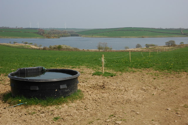
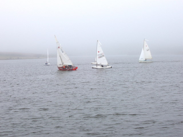
Alfardisworthy is a hamlet in Devon, England, which straddles the border with Cornwall. To the northwest is a reservoir, named Upper Tamar Lake, which...
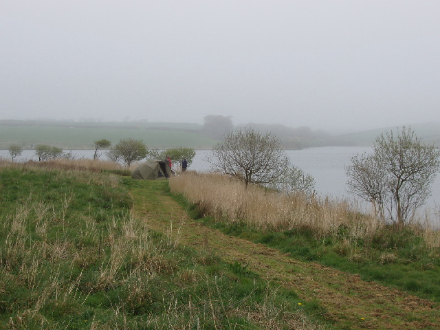
Upper Tamar Lake

Upper Tamar lake is a reservoir on the border of Cornwall and Devon in south-west England. It is owned by South West Water and managed by the South West...

Lower Tamar Lake

Lower Tamar Lake is a 35 acre reservoir located on the Devon-Cornwall border, in England, near Thurdon.It was constructed in the 1820s to supply water...

Thurdon

Thurdon is a hamlet in the parish of Kilkhampton, Cornwall, England, United Kingdom. == References ==

Lymsworthy Meadows

Lymsworthy Meadows is a Site of Special Scientific Interest (SSSI) in north Cornwall, England, UK, noted for its biological characteristics. == Geography... ==

West Youlstone

West Youlstone is a hamlet in north Cornwall, England, United Kingdom. It lies seven miles north north west of Bude and north of Kilkhampton along the...

Kilkhampton

Kilkhampton (Cornish: Kylgh) is a village and civil parish in northeast Cornwall, England, United Kingdom. The village is on the A39 about four miles...

Bradworthy

Bradworthy is a village and civil parish in Devon, England, situated 3 miles (4.8 km) north-east of the border with Cornwall. This location has led to...

Nearby Amenities

Located within 500m of 50.879877,-4.429356
Passing Place
Lat/Long: 50.8771229/-4.4308685
Barrier: height_restrictor
Lat/Long: 50.8777333/-4.4315752
Bench
Lat/Long: 50.8805695/-4.4317667
Bench
Lat/Long: 50.8805516/-4.4317772
Leisure: slipway
Lat/Long: 50.880115/-4.4350535
Tamar campsite
Operator: Southwest lakes
Tourism: camp_site
Website: https://www.swlakestrust.org.uk/Pages/Site/activities/Category/tamar-lakes
Lat/Long: 50.8793384/-4.4357311
Tourism: picnic_site
Lat/Long: 50.8796928/-4.434515
Leisure: playground
Lat/Long: 50.8794247/-4.4346502
Alfardisworthy
Place: hamlet
Source: OS_OpenData_StreetView
Lat/Long: 50.8795698/-4.4260193
Barrier: stile
Foot: yes
Lat/Long: 50.8783121/-4.431127
Barrier: stile
Foot: yes
Lat/Long: 50.8804479/-4.4315599
Parking
Capacity: 15
Lat/Long: 50.8765365/-4.4298613
Post Box
Post Box Mounting: brick_pillar
Post Box Type: wall
Ref: EX22 48
Royal Cypher: EVIIR
Royal Cypher Wikidata: Q33102324
Lat/Long: 50.8790024/-4.4260743
Power: pole
Lat/Long: 50.877464/-4.4313902
Power: pole
Lat/Long: 50.8776417/-4.4308564
Power: pole
Lat/Long: 50.8762742/-4.4333079
Power: pole
Lat/Long: 50.8771356/-4.4338524
Power: pole
Lat/Long: 50.8778464/-4.4337451
Power: pole
Lat/Long: 50.8790277/-4.4305855
Power: pole
Lat/Long: 50.8799788/-4.4293678
Power: pole
Lat/Long: 50.8817117/-4.4271255
Power: pole
Lat/Long: 50.8826645/-4.425897
Direction: 170
Generator Method: photovoltaic
Generator Output Electricity: yes
Generator Solar Modules: 14
Generator Source: solar
Generator Type: solar_photovoltaic_panel
Location: roof
Power: generator
Lat/Long: 50.8785158/-4.4256891
Direction: SSW
Generator Method: photovoltaic
Generator Output Electricity: yes
Generator Solar Modules: 8
Generator Source: solar
Generator Type: solar_photovoltaic_panel
Location: roof
Power: generator
Lat/Long: 50.8798967/-4.43493
Direction: SSW
Generator Method: photovoltaic
Generator Output Electricity: yes
Generator Solar Modules: 8
Generator Source: solar
Generator Type: solar_photovoltaic_panel
Location: roof
Power: generator
Lat/Long: 50.8799145/-4.4349159
Direction: 145
Generator Method: photovoltaic
Generator Output Electricity: yes
Generator Solar Modules: 16
Generator Source: solar
Generator Type: solar_photovoltaic_panel
Location: roof
Power: generator
Lat/Long: 50.8789262/-4.4337049
Crossing
Barrier: stile
Lat/Long: 50.8775782/-4.4314751
Tourism: picnic_site
Lat/Long: 50.8795691/-4.4343503
Tourism: picnic_site
Lat/Long: 50.8795683/-4.4346819
Tourism: picnic_site
Lat/Long: 50.8796737/-4.4342242
Tourism: picnic_site
Lat/Long: 50.8798357/-4.4343655
Tourism: picnic_site
Lat/Long: 50.8795197/-4.434355
Tourism: picnic_site
Lat/Long: 50.8799499/-4.4353147
Tourism: picnic_site
Lat/Long: 50.8799403/-4.4352855
Crossing
Lat/Long: 50.8781858/-4.432096
Barrier: height_restrictor
Lat/Long: 50.877244/-4.4310087
The data included in this document is from www.openstreetmap.org. The data is made available under ODbL.

Have you been to Alfardisworthy?

Leave your review of Alfardisworthy below (or comments, questions and feedback).