Aley Green

Settlement in Hertfordshire

England

Aley Green

The entrance to Broomhills shooting ground, Markyate
The entrance to Broomhills shooting ground, Markyate Credit: David Howard

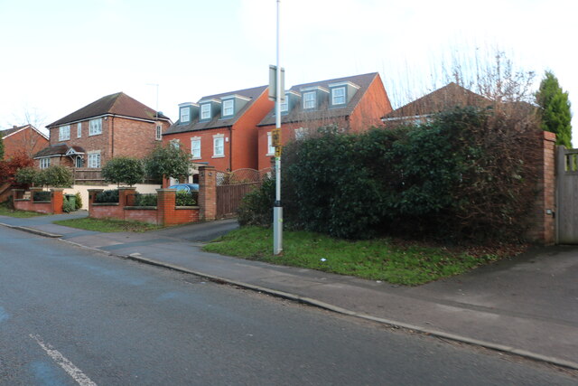
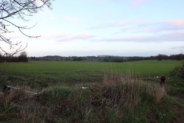
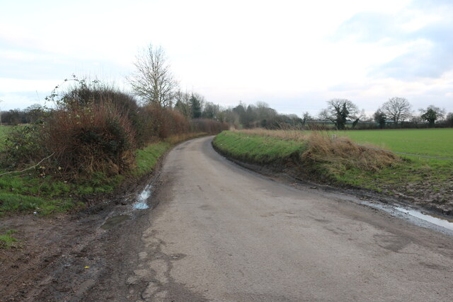
Aley Green is a small village located in the county of Hertfordshire, England. Situated near the town of Harpenden, Aley Green is known for its picturesque countryside and peaceful atmosphere.

The village is home to a close-knit community, with a population of approximately 500 residents. It is primarily a residential area, with a mix of charming cottages and modern houses. The village is surrounded by lush green fields and rolling hills, offering stunning views of the countryside.

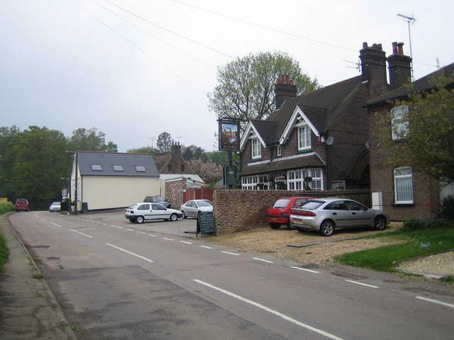
Aley Green benefits from its proximity to Harpenden, where residents can find a range of amenities such as schools, shops, and leisure facilities. The village itself is served by a local pub, providing a gathering place for locals and visitors alike.

Nature enthusiasts will appreciate the nearby open spaces, including the Rothamsted Park and Harpenden Common, which offer opportunities for outdoor activities and leisurely walks. The village is also well-connected to transport links, with easy access to major roads and railway stations.

Aley Green offers a peaceful and idyllic setting, making it an attractive place for those seeking a tranquil lifestyle away from the hustle and bustle of city life. With its charming surroundings and friendly community, Aley Green is a hidden gem in the heart of Hertfordshire.

If you have any feedback on the listing, please let us know in the comments section below.
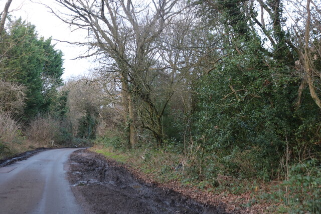
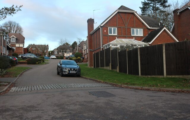
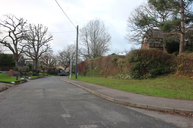
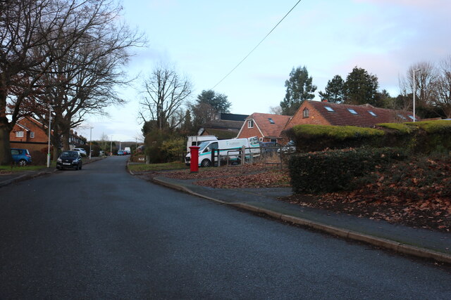
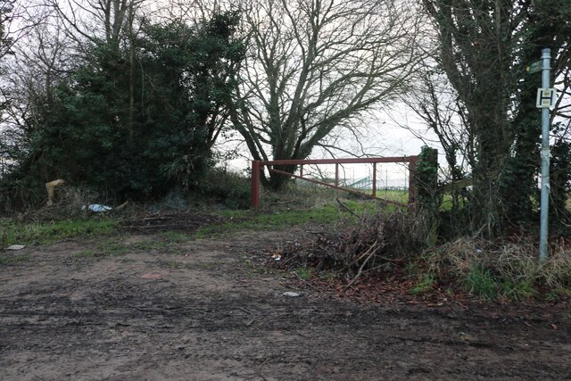
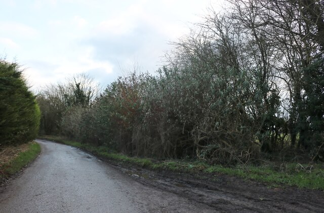
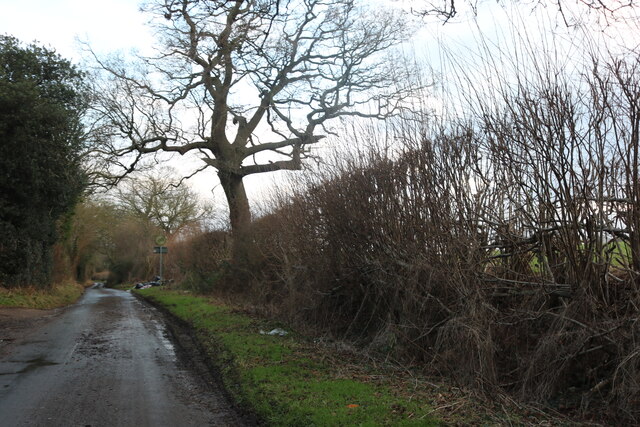
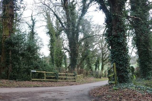
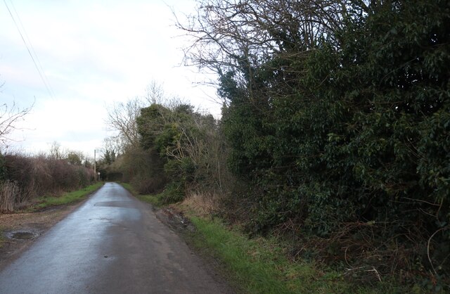
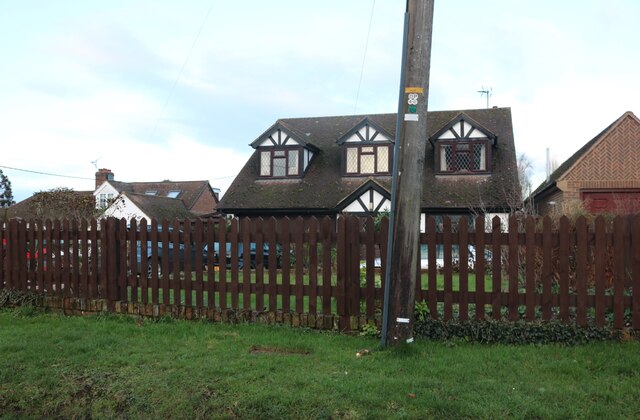
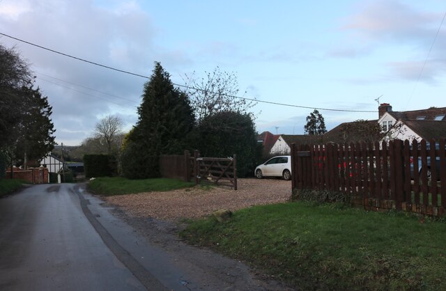
Aley Green Images

Images are sourced within 2km of 51.85466/-0.450991 or Grid Reference TL0618. Thanks to Geograph Open Source API. All images are credited.

The entrance to Broomhills shooting ground, Markyate
Windmill Road, Markyate
Mardle Close, Caddington
Mancroft Road, Caddington
Houses on Dunstable Road, Caddington
High Street Markyate At the junction of Watling Street
High Street Markyate
At the junction of Watling Street
Millfield Lane, Caddington
Field in Caddington Looking towards the village.
Field in Caddington
Looking towards the village.
Field in Caddington
Field in Caddington
Millfield Lane, Caddington
Entrance to solar farm by Millfield Lane, Caddington
Millfield Lane, Caddington
The entrance to Markyatecell Park, Caddington
Pipers Lane, Aley Green
House on Pipers Lane, Aley Green
Pipers Lane, Aley Green
Show me another place!

Aley Green is located at Grid Ref: TL0618 (Lat: 51.85466, Lng: -0.450991)

Unitary Authority: Central Bedfordshire

Police Authority: Bedfordshire

What 3 Words

///units.added.groups. Near Caddington, Bedfordshire

Nearby Locations

Aley Green

Related Wikis

Lower Woodside

Lower Woodside is a hamlet in the Central Bedfordshire district of Bedfordshire, England. The settlement lies north of Aley Green and south-west of Woodside...

Aley Green

Aley Green is a hamlet in Bedfordshire, England. Aley Green is within the civil parish of Caddington. However, the cemetery and the southern end of Mancroft...

Woodside Farm and Wildfowl Park

Woodside Farm and Wildfowl Park is a rare breeds farm and wildfowl park at Slip End near Luton in Central Bedfordshire. The park covers 7 acres (28,000...

Caddington F.C.

Caddington F.C. are a football club based in Caddington, near Luton, England. The club is affiliated to the Bedfordshire County Football Association and...

Caddington

Caddington is a village and civil parish in the Central Bedfordshire district of Bedfordshire, England. The western border of the parish is Watling Street...

Woodside, Bedfordshire

Woodside is a hamlet located in the Central Bedfordshire district of Bedfordshire, England. Located at the junction of Woodside Road and Grove Road, Woodside...

Slip End

Slip End is a village and civil parish in Central Bedfordshire, England. The village is located very near to Luton. As well as the village of Slip End...
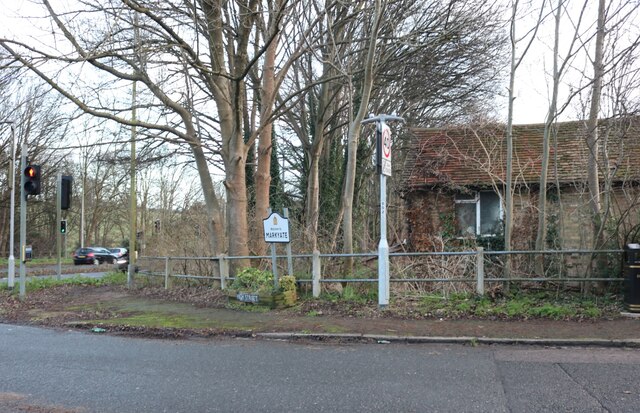
Caddington Hall

Caddington Hall was a country estate in Markyate, Bedfordshire, England. The house was demolished in 1975.In 1804, a family by the name of Pedley traded...

Nearby Amenities

Located within 500m of 51.85466,-0.450991
Created By: xybot
Note: Mini Pylon Overhead
Lat/Long: 51.8569762/-0.4507643
Aley Green
Place: hamlet
Lat/Long: 51.854224/-0.4532347
Bus Stop
Bus: yes
Naptan AtcoCode: 021024584
Naptan NaptanCode: ahlamdwa
Public Transport: platform
Lat/Long: 51.8516342/-0.4473746
Bus Stop
Bus: yes
Public Transport: platform
Lat/Long: 51.8537972/-0.4506362
Bus Stop
Bus: yes
Naptan AtcoCode: 021013524
Naptan NaptanCode: ahladjwg
Public Transport: platform
Lat/Long: 51.8540908/-0.4514308
Place Of Worship
Aley Green Methodist Church
Denomination: methodist
Religion: christian
Lat/Long: 51.8536602/-0.4509167
Post Box
Brand: Royal Mail
Brand Wikidata: Q638098
Brand Wikipedia: en:Royal Mail
Collection Times: Mo-Fr 17:00; Sa 07:30
Operator: Royal Mail
Operator Wikidata: Q638098
Post Box Type: lamp
Ref: LU1 59
Royal Cypher: EIIR
Royal Cypher Wikidata: Q33102113
Source: survey
Lat/Long: 51.8536594/-0.4507821
Bus Stop
Bus: yes
Naptan AtcoCode: 021013517
Naptan NaptanCode: ahladjtj
Public Transport: platform
Lat/Long: 51.8538781/-0.445604
Bus Stop
Bus: yes
Public Transport: platform
Lat/Long: 51.8538615/-0.4454905
Power: tower
Lat/Long: 51.8565617/-0.444699
Barrier: kissing_gate
Foot: yes
Source: GPS, observation
Lat/Long: 51.8522879/-0.4532008
Barrier: kissing_gate
Foot: yes
Source: GPS, observation
Lat/Long: 51.8511475/-0.4520687
Pub
Harrow Inn
Lat/Long: 51.8555286/-0.4441311
Bus Stop
Bus: yes
Naptan AtcoCode: 021013519
Naptan NaptanCode: ahladjtp
Public Transport: platform
Lat/Long: 51.8556756/-0.4439212
Bus Stop
Bus: yes
Naptan AtcoCode: 021013518
Naptan NaptanCode: ahladjtm
Public Transport: platform
Lat/Long: 51.8554778/-0.4444362
Bus Stop
Bus: yes
Naptan AtcoCode: 021013521
Naptan NaptanCode: ahladjwa
Public Transport: platform
Lat/Long: 51.8514273/-0.4466903
Power: tower
Lat/Long: 51.8572339/-0.456618
Power: tower
Lat/Long: 51.8571314/-0.4547804
Power: tower
Lat/Long: 51.856955/-0.4514696
Power: tower
Lat/Long: 51.8567123/-0.4471783
Post Box
Brand: Royal Mail
Brand Wikidata: Q638098
Brand Wikipedia: en:Royal Mail
Collection Times: Mo-Fr 17:00; Sa 08:30
Operator: Royal Mail
Operator Wikidata: Q638098
Post Box Type: lamp
Ref: LU1 203
Royal Cypher: EIIR
Royal Cypher Wikidata: Q33102113
Source: survey
Lat/Long: 51.853868/-0.4456543
Barrier: kissing_gate
Foot: yes
Source: GPS, observation
Lat/Long: 51.85869/-0.4534476
Barrier: kissing_gate
Foot: yes
Source: GPS, observation
Lat/Long: 51.8565924/-0.4564992
Barrier: kissing_gate
Foot: yes
Source: GPS, observation
Lat/Long: 51.8510535/-0.4520488
Power: tower
Lat/Long: 51.8568367/-0.4495123
Traffic Calming: hump
Lat/Long: 51.8531255/-0.4497791
Traffic Calming: hump
Lat/Long: 51.8541242/-0.4514289
Traffic Calming: hump
Lat/Long: 51.8550493/-0.4532287
The data included in this document is from www.openstreetmap.org. The data is made available under ODbL.

Have you been to Aley Green?

Leave your review of Aley Green below (or comments, questions and feedback).