Merton
Civil Parish in Oxfordshire Cherwell
England
Merton

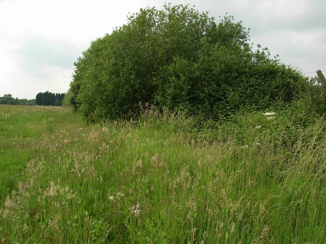
Merton is a civil parish located in the Cherwell district of Oxfordshire, England. It is situated approximately 10 miles north of Oxford and has a population of around 500 people. The village is nestled in a rural setting, surrounded by picturesque countryside and rolling hills.
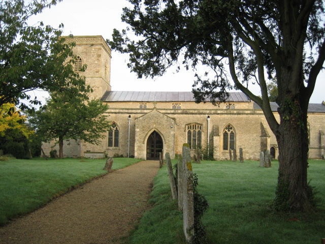
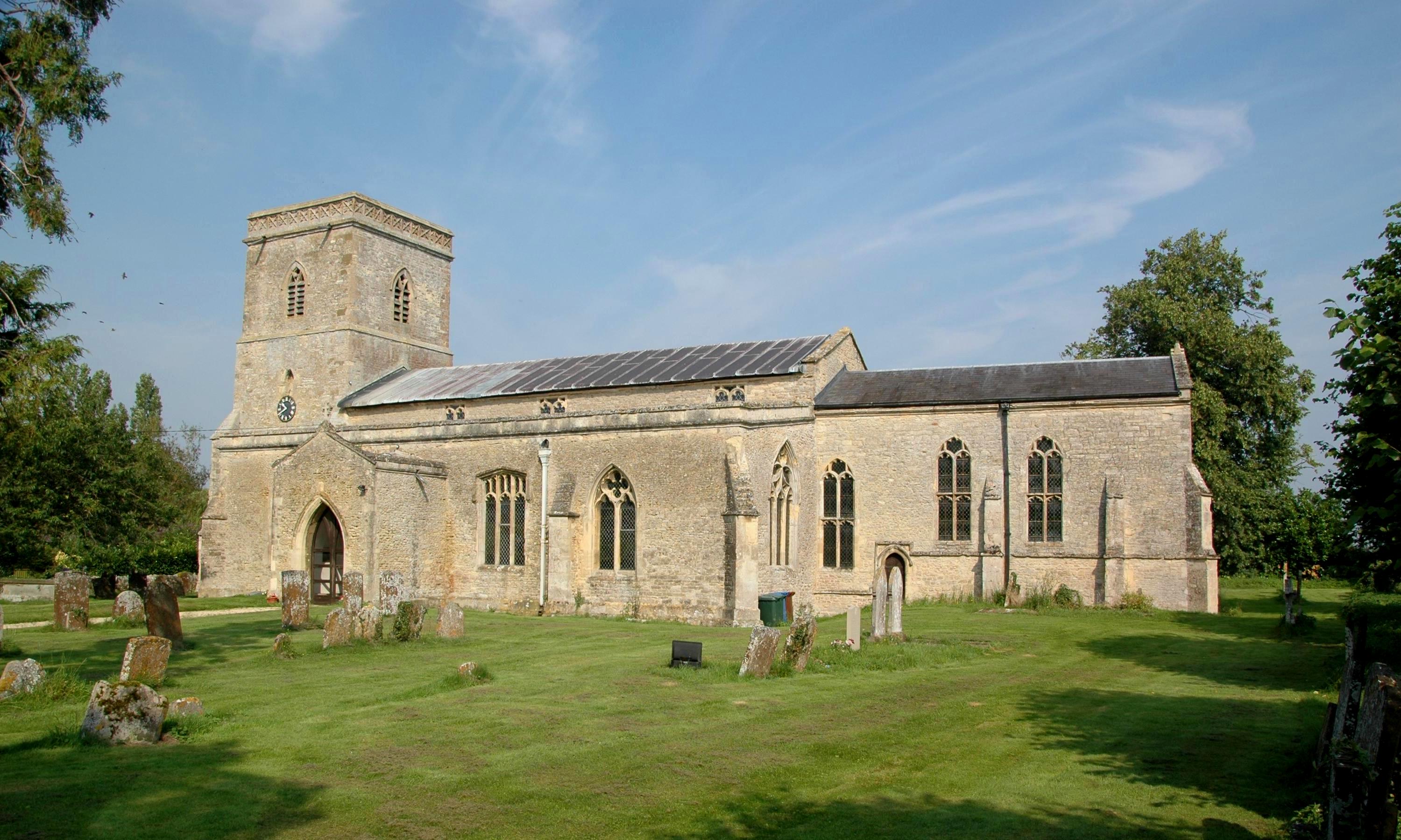
Merton's history dates back to medieval times, with evidence of human habitation in the area since the Iron Age. The village was listed in the Domesday Book of 1086, and many of its buildings still retain their historic charm. The parish church, St. Swithun's, is a Grade I listed building and features an impressive 14th-century tower.
Despite its small size, Merton offers a range of amenities for its residents. These include a primary school, a village hall, a post office, and a local pub. The village also has a strong sense of community, with various social and recreational activities organized throughout the year.
The surrounding countryside provides ample opportunities for outdoor pursuits, such as walking, cycling, and horse riding. Merton is also conveniently located near several nature reserves and parks, including Otmoor and Rousham Gardens, which offer wildlife spotting and beautiful landscapes.
Transport links in Merton are limited, with the nearest train station being in nearby Bicester. However, the village is well-connected by road, with the A34 and A41 providing easy access to Oxford and other major towns and cities in the region.
Overall, Merton offers a peaceful and idyllic setting for those seeking a rural lifestyle, while still being within reach of urban amenities.
If you have any feedback on the listing, please let us know in the comments section below.
Merton Images
Images are sourced within 2km of 51.861286/-1.157769 or Grid Reference SP5818. Thanks to Geograph Open Source API. All images are credited.


Merton is located at Grid Ref: SP5818 (Lat: 51.861286, Lng: -1.157769)
Administrative County: Oxfordshire
District: Cherwell
Police Authority: Thames Valley
What 3 Words
///spearing.swatted.songbirds. Near Ambrosden, Oxfordshire
Nearby Locations
Related Wikis
Merton, Oxfordshire
Merton is a village and civil parish near the River Ray, about 4 miles (6.4 km) south of Bicester in Oxfordshire, England. The 2011 Census recorded the...

Bicester Military Railway
The Bicester Military Railway (BMR) is a railway in Oxfordshire, England belonging to the Ministry of Defence. It links military depots at Piddington,...

Wendlebury Halt railway station
Wendlebury Halt was a railway station on the Varsity Line, located 0.5 miles (800 m) east of the village of Wendlebury in Alchester. The London and North...
Alchester (Roman town)
Alchester is the site of an ancient Roman town. The site is not included in any ancient references; hence, the Roman name is not known. However, Eilert...

Wendlebury Meads and Mansmoor Closes
Wendlebury Meads and Mansmoor Closes is a 73.2-hectare (181-acre) biological Site of Special Scientific Interest south of Wendlebury in Oxfordshire.Wendlebury...
Wendlebury
Wendlebury is a village and civil parish about 2 miles (3 km) southwest of Bicester and about 1⁄2 mile (800 m) from Junction 9 of the M40. Junction 9 is...

Fencott
Fencott is a hamlet between the River Ray and Otmoor in the civil parish of Fencott and Murcott, about 4 miles (6.4 km) south of Bicester in Oxfordshire...

Alice's Meadow
Alice's Meadow is the name given to a small field in the Oxfordshire parish of Fencott and Murcott, England. It became the focus of a campaign by local...
Related Videos

How To Remove The Rear Bumper On A 997.2 Porsche 911
After filming the Lotus stuff I popped in to see Autofarm at their new site and whilst I was there swapped the GT3 back to the ...

One AUTUMN day at BICESTER AVENUE, Oxfordshire, England, UK
Walking at BICESTER AVENUE after shopping on a nice AUTUMN DAY.


Christmas Toys Galore at Bicester Avenue, Bicester, United Kingdom
Bicester Avenue is located in Oxford Road in Bicester. A shopping mall with a nice ambience. I visited Bicester Avenue November ...
Nearby Amenities
Located within 500m of 51.861286,-1.157769Have you been to Merton?
Leave your review of Merton below (or comments, questions and feedback).