Merton

Civil Parish in Norfolk Breckland

England

Merton

Queues for Fuel, Thetford Road At the time of photographing, motorists are responding by panic buying to a shortage of fuel deliveries to filling stations (caused by a shortage of HGV drivers). Hence long queues have formed at those places that have not yet sold out.
Queues for Fuel, Thetford Road Credit: Paul Collins

Merton is a civil parish located in the Breckland district of Norfolk, England. It is situated approximately 11 miles southwest of the market town of Thetford and 22 miles northeast of the city of Norwich. The parish covers an area of around 7.6 square miles.

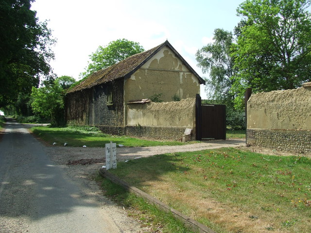
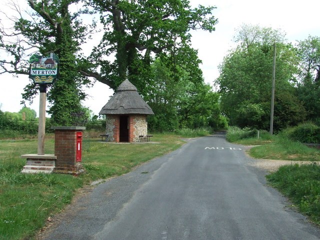
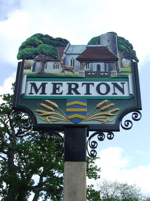
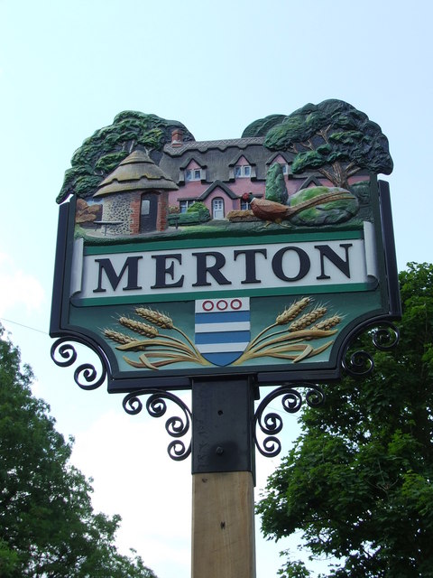
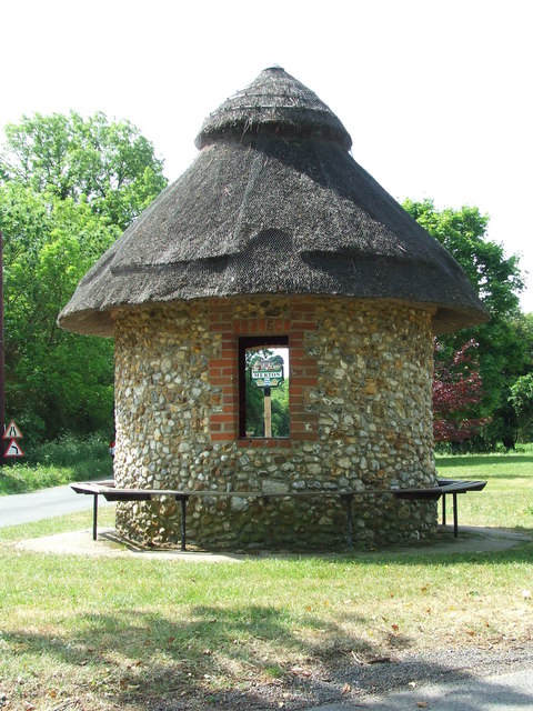
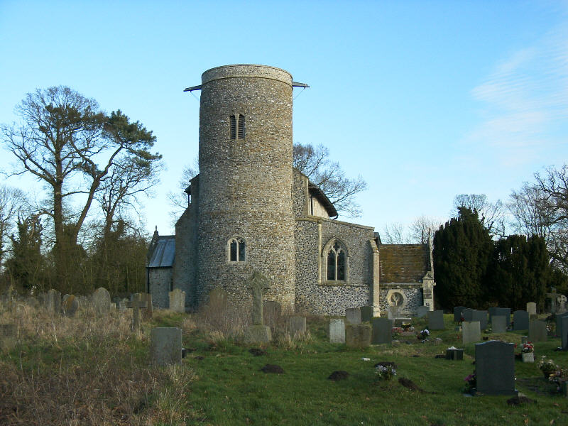
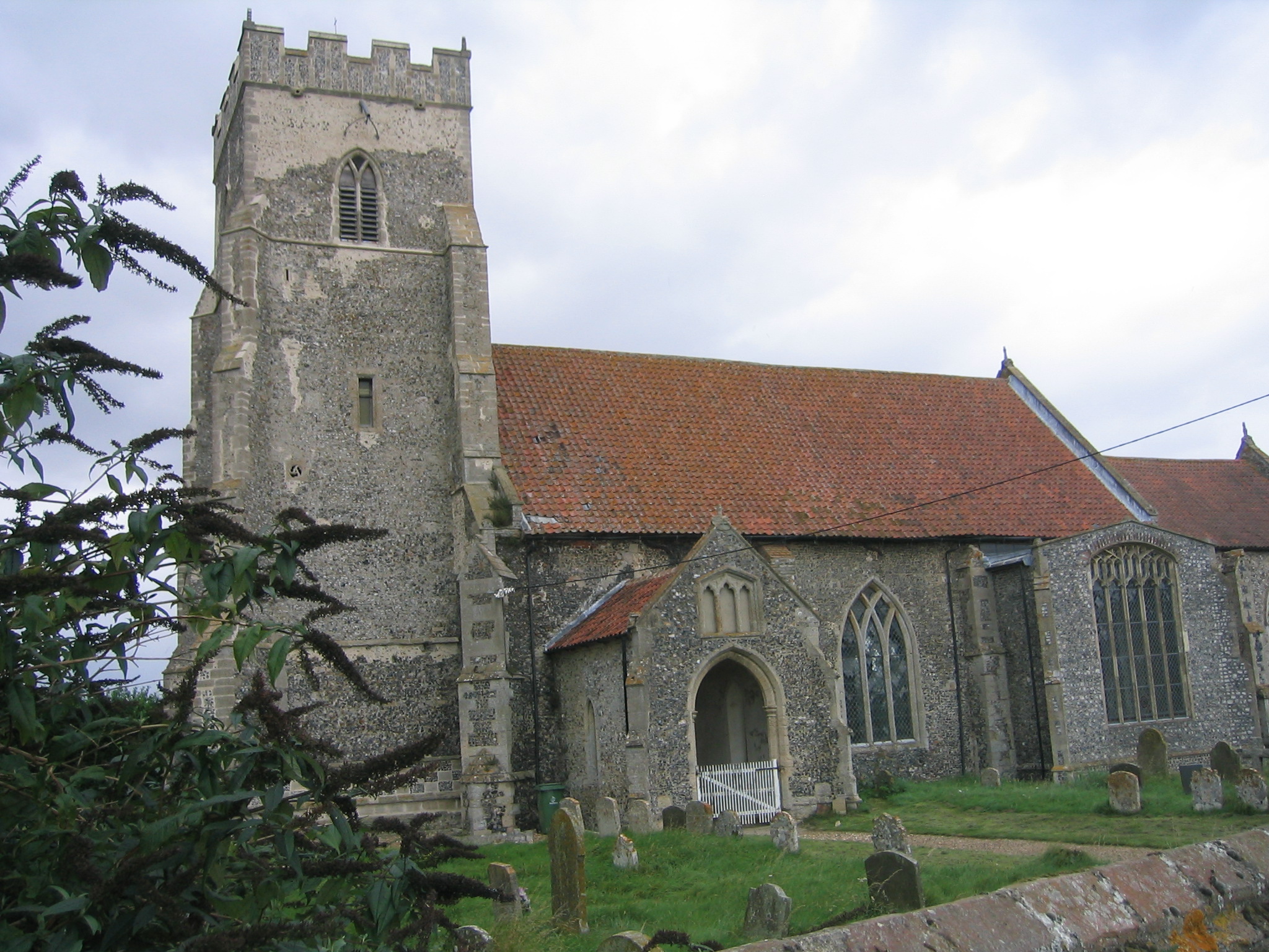
The village of Merton itself is small and picturesque, with a population of around 300 residents. It is surrounded by scenic countryside, making it an ideal location for those seeking a peaceful and rural lifestyle. The village is primarily residential, with a few local amenities including a village hall and a church, St. Peter's, which dates back to the 13th century.

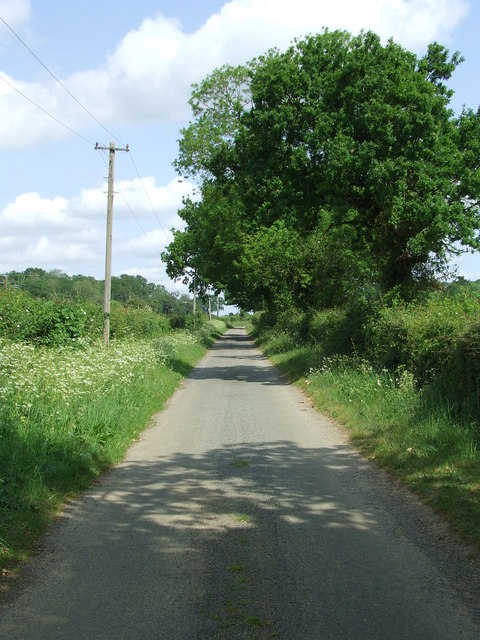
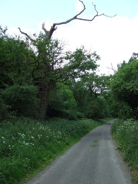
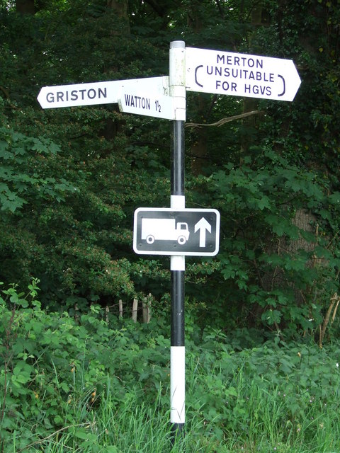
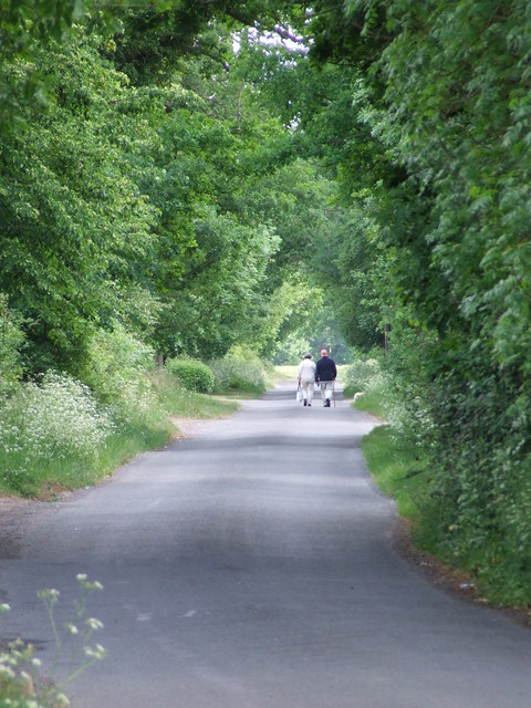
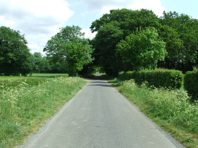
Merton is well-connected to other areas of Norfolk via a network of roads, including the A1075 which runs through the village. This makes it easily accessible for commuters and visitors alike. The nearby Thetford Forest Park offers opportunities for outdoor activities such as walking, cycling, and wildlife spotting.

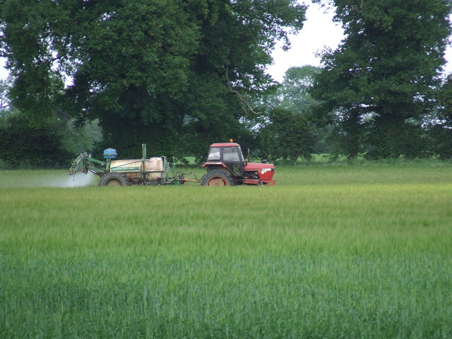
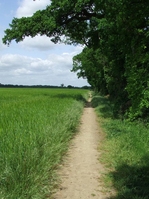
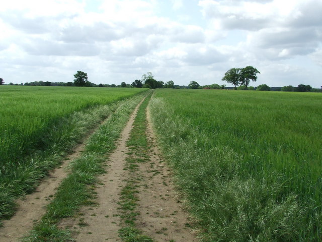
The economy of Merton is largely based on agriculture, with many residents employed in farming and related industries. The village is also home to a number of small businesses, providing services to the local community.

Overall, Merton offers a peaceful and rural way of life, with its beautiful countryside, historical church, and strong sense of community. It is a charming village that provides a tranquil retreat for those seeking an escape from the hustle and bustle of city living.

If you have any feedback on the listing, please let us know in the comments section below.

Merton Images

Images are sourced within 2km of 52.551502/0.813407 or Grid Reference TL9098. Thanks to Geograph Open Source API. All images are credited.

Queues for Fuel, Thetford Road At the time of photographing, motorists are responding by panic buying to a shortage of fuel deliveries to filling stations (caused by a shortage of HGV drivers). Hence long queues have formed at those places that have not yet sold out.
Queues for Fuel, Thetford Road
At the time of photographing, motorists are responding by panic buying to a shortage of fuel deliveries to filling stations (caused by a shortage of HGV drivers). Hence long queues have formed at those places that have not yet sold out.
No More Knotweed Compare this photo of Low Common Farm with Jonathan Billingers of 2007 <a title="https://www.geograph.org.uk/photo/473894" href="https://www.geograph.org.uk/photo/473894">Link</a> and the Knotweed appears to have been eradicated. Near to Thompson, Norfolk.
No More Knotweed
Compare this photo of Low Common Farm with Jonathan Billingers of 2007 Link and the Knotweed appears to have been eradicated. Near to Thompson, Norfolk.
Country Road Country road near to Thompson, Norfolk.
Country Road
Country road near to Thompson, Norfolk.
Silverdell Silverdell house near to Thompson, Norfolk.
Silverdell
Silverdell house near to Thompson, Norfolk.
Road Junction Road junction near to Thompson, Norfolk.
Road Junction
Road junction near to Thompson, Norfolk.
Country Lane Country lane near to Thompson, Norfolk.
Country Lane
Country lane near to Thompson, Norfolk.
Crop Spraying Crop spraying near to Thompson, Norfolk.
Crop Spraying
Crop spraying near to Thompson, Norfolk.
Finger Post Finger post road sign near to Thompson, Norfolk.
Finger Post
Finger post road sign near to Thompson, Norfolk.
Footpath And Road Footpath leading to Merton Church as seen leaving Crows Lane at Merton, Norfolk.
Footpath And Road
Footpath leading to Merton Church as seen leaving Crows Lane at Merton, Norfolk.
Village Sign Village sign on the village green plus shelter and post box at Merton, Norfolk. For close up of the two different sides of the village sign see <a title="https://www.geograph.org.uk/photo/2417140" href="https://www.geograph.org.uk/photo/2417140">Link</a> and <a title="https://www.geograph.org.uk/photo/2417142" href="https://www.geograph.org.uk/photo/2417142">Link</a>
Village Sign
Village sign on the village green plus shelter and post box at Merton, Norfolk. For close up of the two different sides of the village sign see Link and Link
Village Sign One side of the village sign at Merton, Norfolk for other side see <a title="https://www.geograph.org.uk/photo/2417142" href="https://www.geograph.org.uk/photo/2417142">Link</a> and <a title="https://www.geograph.org.uk/photo/2417138" href="https://www.geograph.org.uk/photo/2417138">Link</a>
Village Sign
One side of the village sign at Merton, Norfolk for other side see Link and Link
Village Sign One side of the village sign at Merton, Norfolk for other side see <a title="https://www.geograph.org.uk/photo/2417140" href="https://www.geograph.org.uk/photo/2417140">Link</a> and <a title="https://www.geograph.org.uk/photo/2417138" href="https://www.geograph.org.uk/photo/2417138">Link</a>
Village Sign
One side of the village sign at Merton, Norfolk for other side see Link and Link
Three Notice Boards And One Box Two village notice boards, one village public footpath board and one telephone box on the village green at Merton, Norfolk.
Three Notice Boards And One Box
Two village notice boards, one village public footpath board and one telephone box on the village green at Merton, Norfolk.
Village Shelter Village shelter Merton, Norfolk.
Village Shelter
Village shelter Merton, Norfolk.
The Long Walk Two people walking along the country road leading from Merton, Norfolk to Waton.
The Long Walk
Two people walking along the country road leading from Merton, Norfolk to Waton.
Country Road Country road looking North near to Merton, Suffolk.
Country Road
Country road looking North near to Merton, Suffolk.
Footpath Footpath and field boundary near to Merton, Norfolk.
Footpath
Footpath and field boundary near to Merton, Norfolk.
Footpath Footpath looking south near to Merton, Norfolk.
Footpath
Footpath looking south near to Merton, Norfolk.
Show me another place!

Merton is located at Grid Ref: TL9098 (Lat: 52.551502, Lng: 0.813407)

Administrative County: Norfolk

District: Breckland

Police Authority: Norfolk

What 3 Words

///merge.fittingly.upwardly. Near Watton, Norfolk

Related Wikis

Merton, Norfolk

Merton is a civil parish in the English county of Norfolk. It covers an area of 5.94 km2 (2.29 sq mi) and had a population of 113 in 50 households at the...

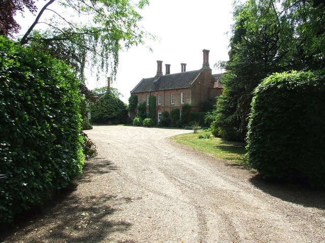
Merton Hall, Norfolk

Merton Hall is a 19th century country house in Merton, Norfolk, England. The extant north-west wing is a Grade II listed building. The 17th-century gatehouse...

Wayland Academy, Watton

Wayland Academy (formerly Wayland Community High School) is a small mixed secondary school located in Watton in the English county of Norfolk. It is part...

Wayland Wood

Wayland Wood is a 31.7-hectare (78-acre) biological Site of Special Scientific Interest near to Watton in Norfolk. It is a Nature Conservation Review...

Watton, Norfolk

Watton is a market town in the district of Breckland in the English county of Norfolk, about 25 miles (40 km) west-southwest of Norwich and 15 miles (24...

Wayland Hall

Wayland Hall, also known as Watton Town Hall, is a community events venue in Middle Street, Watton, Norfolk, England: the structure, which also accommodates...

Watton railway station

Watton railway station was located in Watton, Norfolk. It was on the Great Eastern Railway line between Swaffham and Thetford, and closed for passengers...

Thompson, Norfolk

Thompson is a civil parish in the English county of Norfolk. It covers an area of 9.20 km2 (3.55 sq mi) and including Tottington had a population of 341...

Nearby Amenities

Located within 500m of 52.551502,0.813407
Post Box
Collection Times: Mo-Fr 17:30; Sa 09:05
Operator: Royal Mail
Post Box Mounting: brick_pillar
Post Box Type: wall
Ref: IP25 3314
Royal Cypher: EIIR
Royal Cypher Wikidata: Q33102113
Lat/Long: 52.554048/0.811883
Merton
Place: village
Source: OS_OpenData_StreetView
Lat/Long: 52.5534262/0.8116361
Bus Stop
Lat/Long: 52.5537043/0.8118721
Merton
Man Made: village_sign
Material: metal
Lat/Long: 52.5540529/0.811848
Telephone
Booth: K6
Covered: booth
Listed Status: Grade II
Lat/Long: 52.5543403/0.8115498
Information: map
Tourism: information
Lat/Long: 52.5543877/0.811384
The data included in this document is from www.openstreetmap.org. The data is made available under ODbL.

Have you been to Merton?

Leave your review of Merton below (or comments, questions and feedback).