Broomridge
Settlement in Stirlingshire
Scotland
Broomridge

Broomridge is a small suburban area located in the county of Stirlingshire, Scotland. Situated just south of the city of Stirling, it forms part of the larger urban area known as Stirling. Broomridge is primarily a residential neighborhood, offering a peaceful and family-friendly environment for its residents.
The area is characterized by its well-maintained streets lined with a mix of modern houses and traditional cottages. The community is known for its strong sense of community spirit, and residents often come together to organize various events and activities.
Broomridge benefits from its proximity to Stirling, which provides residents with easy access to a wide range of amenities and services. Within a short distance, residents can find supermarkets, shops, restaurants, healthcare facilities, and educational institutions.
For those who enjoy the outdoors, Broomridge is conveniently located near several parks and green spaces. The nearby Bannockburn Heritage Centre offers a glimpse into the area's rich history, particularly its association with the famous Battle of Bannockburn.
Transportation in Broomridge is well-served by a network of roads, making it easily accessible for commuting to Stirling or other nearby areas. Additionally, the area benefits from regular bus services connecting it to the wider region.
Overall, Broomridge offers a pleasant suburban lifestyle with convenient access to urban amenities and a strong sense of community, making it an attractive place to live in Stirlingshire.
If you have any feedback on the listing, please let us know in the comments section below.
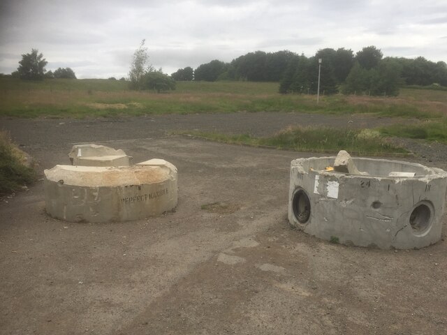
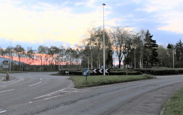
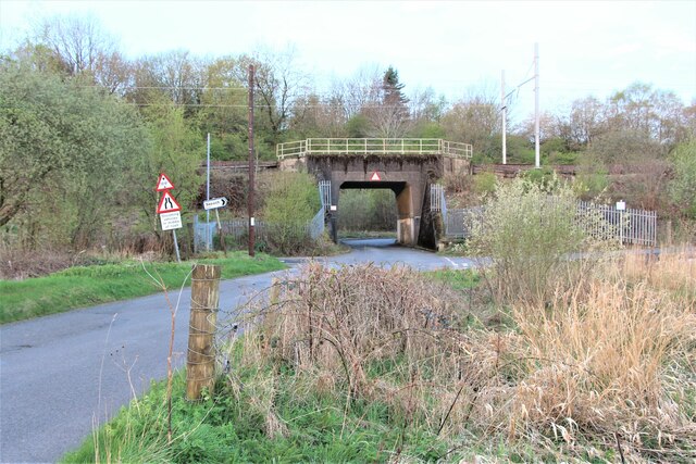
Broomridge Images
Images are sourced within 2km of 56.100228/-3.924246 or Grid Reference NS8091. Thanks to Geograph Open Source API. All images are credited.


Broomridge is located at Grid Ref: NS8091 (Lat: 56.100228, Lng: -3.924246)
Unitary Authority: Stirling
Police Authority: Forth Valley
What 3 Words
///kind.leap.mile. Near Bannockburn, Stirling
Nearby Locations
Related Wikis

St. Ninians
St. Ninians is a long-standing settlement which is now a district of the city of Stirling in central Scotland. It is located approximately one mile south...

Stirling Health and Care Village
Stirling Health and Care Village is a health and care facility at Livilands Gate in Stirling, Scotland. It is managed by NHS Forth Valley as well as Stirling...
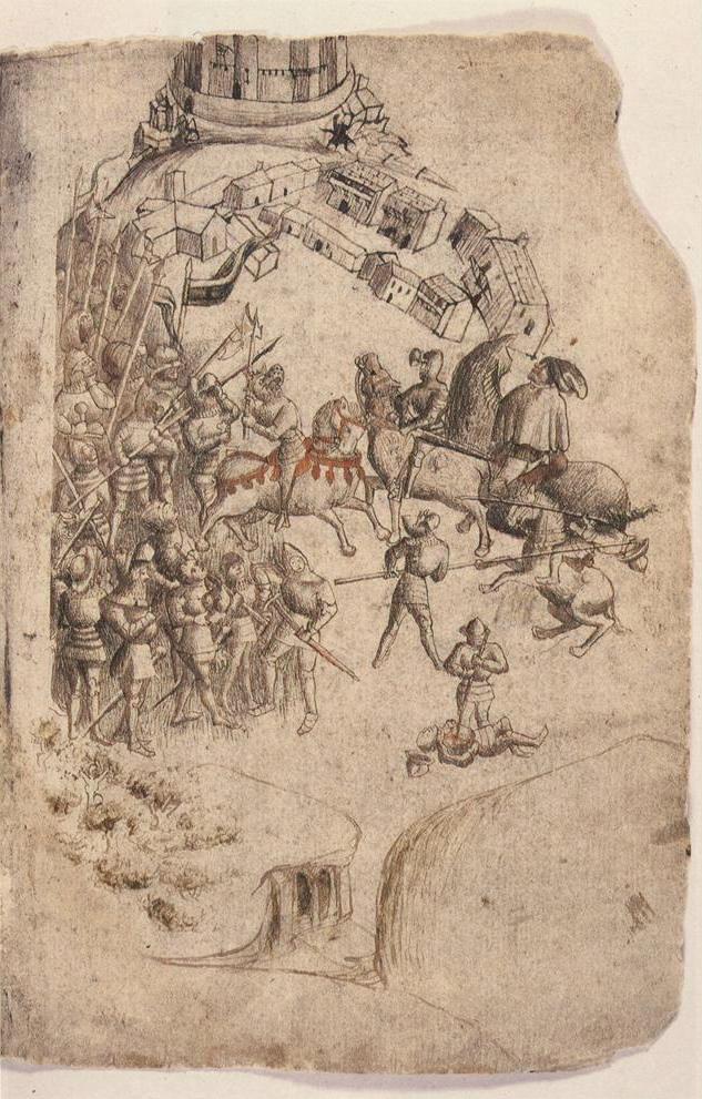
Battle of Bannockburn
The Battle of Bannockburn (Scottish Gaelic: Blàr Allt nam Bànag or Blàr Allt a' Bhonnaich) was fought on 23–24 June 1314, between the army of Robert the...
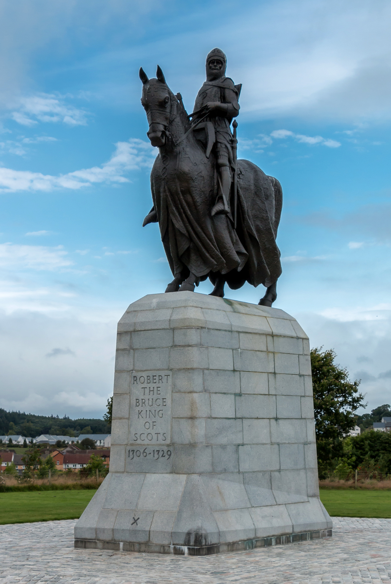
Equestrian statue of Robert the Bruce, Bannockburn
The equestrian statue of Robert the Bruce at the Bannockburn Visitor Centre, Bannockburn, Stirling, is a 1964 work by Pilkington Jackson. == Description... ==
Nearby Amenities
Located within 500m of 56.100228,-3.924246Have you been to Broomridge?
Leave your review of Broomridge below (or comments, questions and feedback).