Marbury cum Quoisley
Civil Parish in Cheshire
England
Marbury cum Quoisley
Marbury cum Quoisley is a civil parish located in the county of Cheshire, England. It is situated within the unitary authority area of Cheshire West and Chester and falls under the parliamentary constituency of Eddisbury. The parish covers an area of approximately 7.4 square kilometers and is home to a population of around 300 residents.
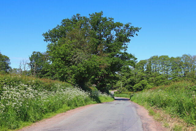
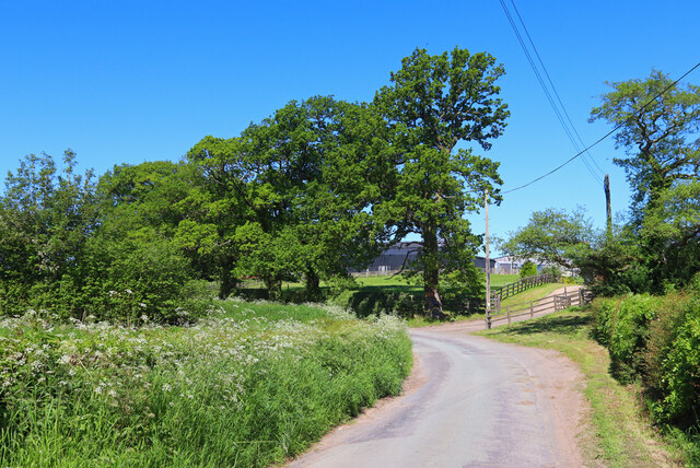
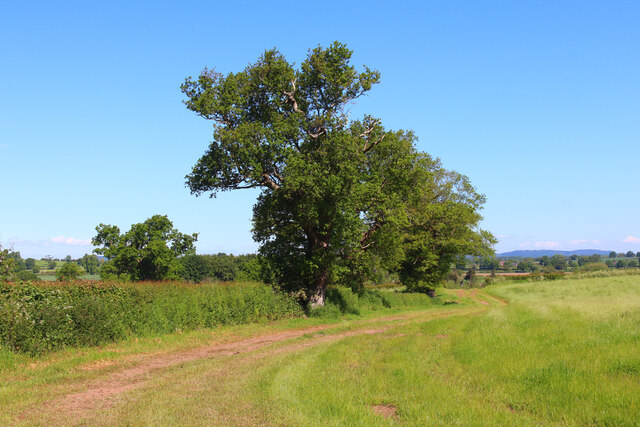
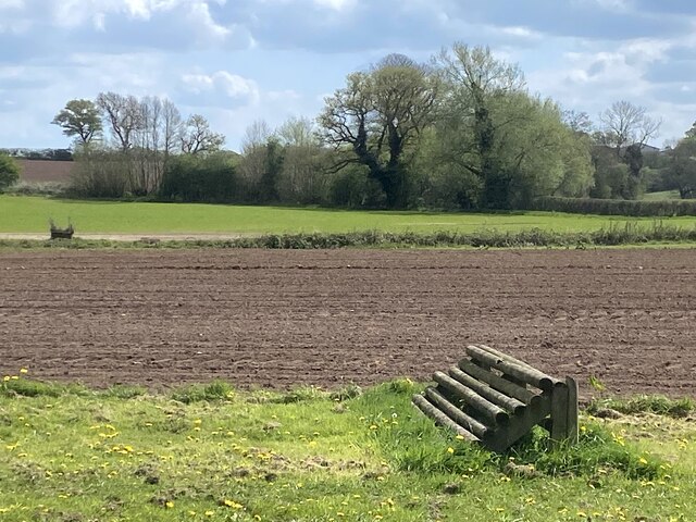
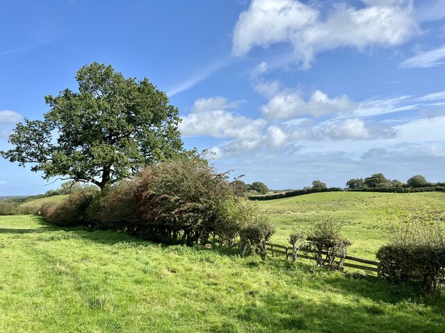
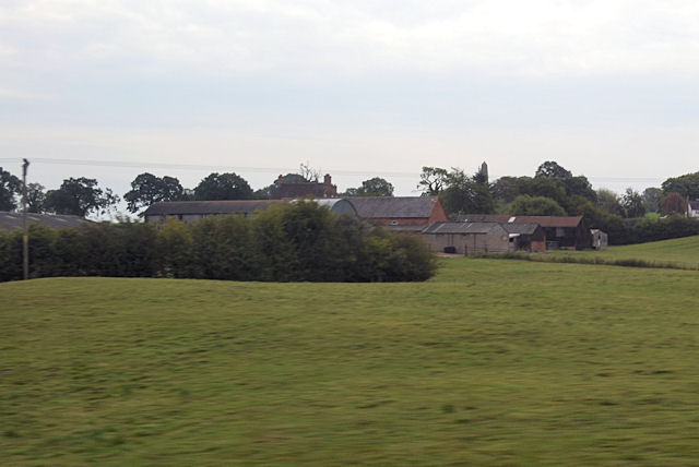
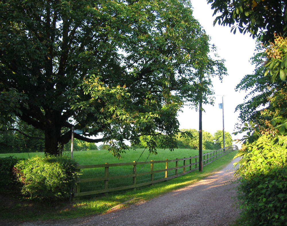
The village of Marbury cum Quoisley is nestled in the picturesque countryside of Cheshire, surrounded by rolling hills and farmland. It is known for its tranquil and idyllic setting, offering a peaceful retreat away from the hustle and bustle of city life.
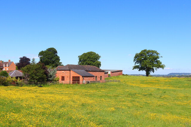
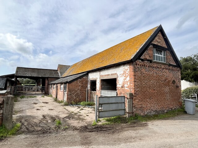
The parish is predominantly rural, with a mix of residential properties, agricultural land, and small businesses. The landscape is dotted with charming cottages and traditional farmhouses, giving the area a quaint and charming character.
Marbury cum Quoisley is rich in history, with evidence of human habitation dating back to ancient times. The village is home to several historical landmarks, including Marbury Hall, a Grade II listed building that dates back to the 18th century. The hall is surrounded by beautiful gardens and parkland, which are now open to the public.
The parish also boasts a strong sense of community, with various social and recreational activities taking place throughout the year. This includes local sports clubs, community events, and a parish council that works to enhance the quality of life for residents.
Overall, Marbury cum Quoisley offers a charming and peaceful rural retreat, steeped in history and surrounded by natural beauty.
If you have any feedback on the listing, please let us know in the comments section below.
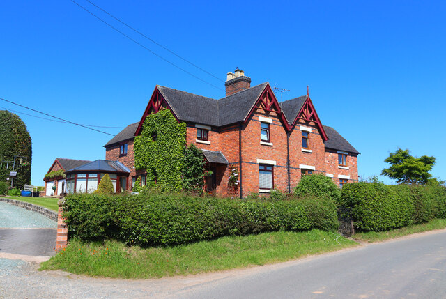
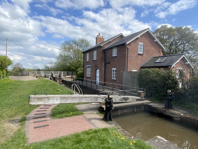
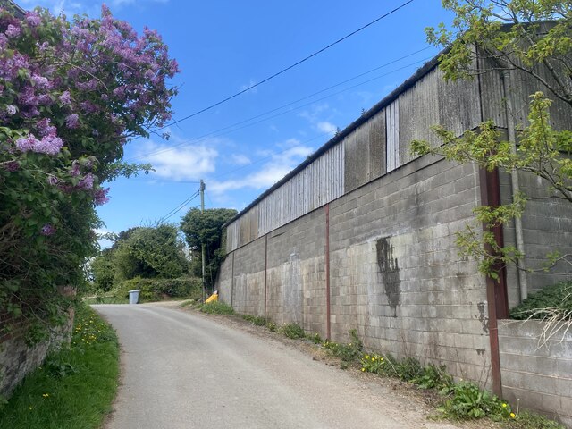
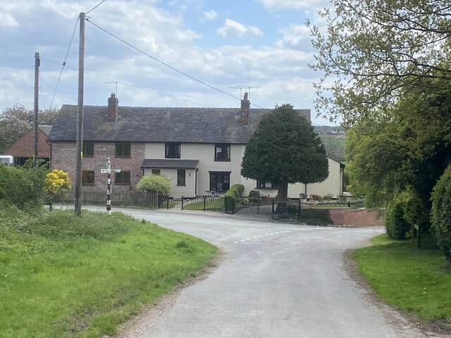
Marbury cum Quoisley Images
Images are sourced within 2km of 53.006524/-2.649218 or Grid Reference SJ5645. Thanks to Geograph Open Source API. All images are credited.


Marbury cum Quoisley is located at Grid Ref: SJ5645 (Lat: 53.006524, Lng: -2.649218)
Unitary Authority: Cheshire East
Police Authority: Cheshire
What 3 Words
///abolish.daunted.pram. Near Bickley, Cheshire
Nearby Locations
Related Wikis

Marbury, Cheshire
Marbury is a small village located at SJ560457 in the civil parish of Marbury and District, formerly Marbury cum Quoisley, within the unitary authority...

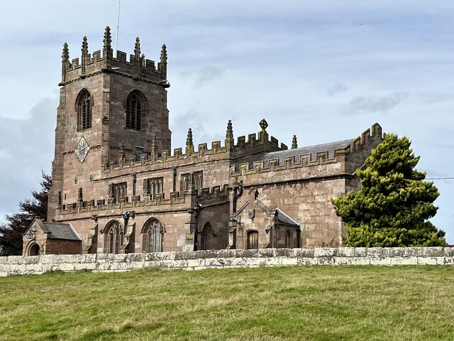
St Michael's Church, Marbury
St Michael's Church, also known as St Michael and All Angels, stands on a small rise overlooking Big Mere in the village of Marbury, Cheshire, England...

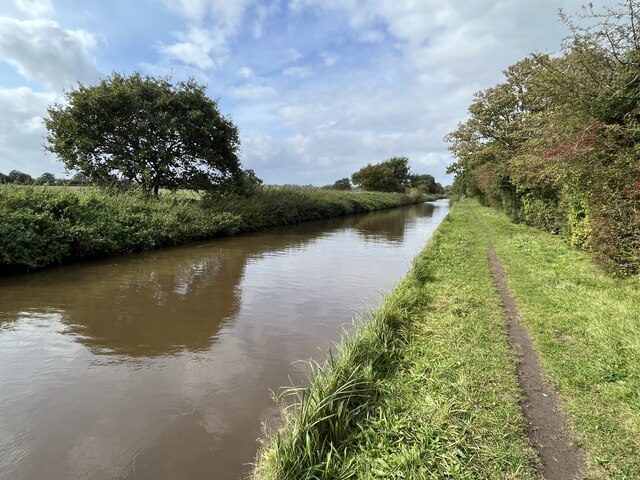
Quoisley Meres
Quoisley Meres refers to two meres, Quoisley Big Mere and Quoisley Little Mere, near the village of Marbury, in Cheshire, England. Glacial in origin, the...

Norbury, Cheshire
Norbury is a hamlet and former civil parish, now in the parish of Marbury and District, in the Cheshire East district, in the ceremonial county of Cheshire...

Brankelow Cottage
Brankelow Cottage, also known as Brankelow Folly and Brankelow House, is a folly on the Combermere Abbey estate, in Cheshire, England. It is listed at...
Wirswall
Wirswall is a village and former civil parish, now in the parish of Marbury and District, in the unitary authority area of Cheshire East and the ceremonial...

Combermere Abbey
Combermere Abbey is a former monastery, later a country house, near Burleydam, between Nantwich, Cheshire and Whitchurch in Shropshire, England, located...

Bradeley Green
Bradeley Green is a village in Cheshire East, England. It is located on the A49 road north of Whitchurch and on the county border with Shropshire.
Nearby Amenities
Located within 500m of 53.006524,-2.649218Have you been to Marbury cum Quoisley?
Leave your review of Marbury cum Quoisley below (or comments, questions and feedback).