Marbury

Settlement in Cheshire

England

Marbury

Near Townley Farm Minor road near Wrenbury.
Near Townley Farm Credit: Wayland Smith

Marbury is a village located in the county of Cheshire in northwest England. Situated near the town of Whitchurch, it falls within the unitary authority of Cheshire West and Chester. With a population of around 350 residents, Marbury is a small and close-knit community.

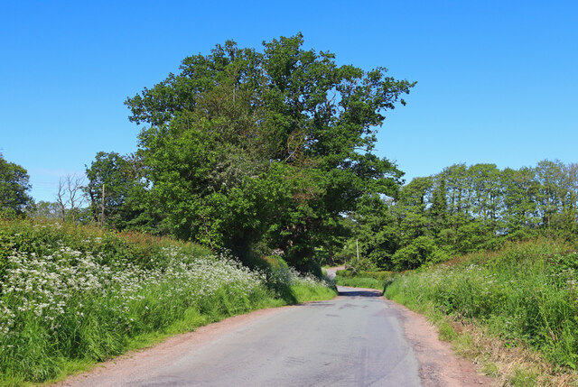
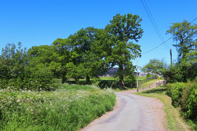
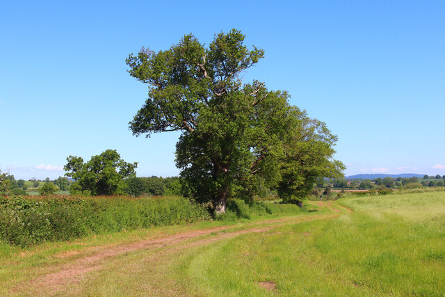
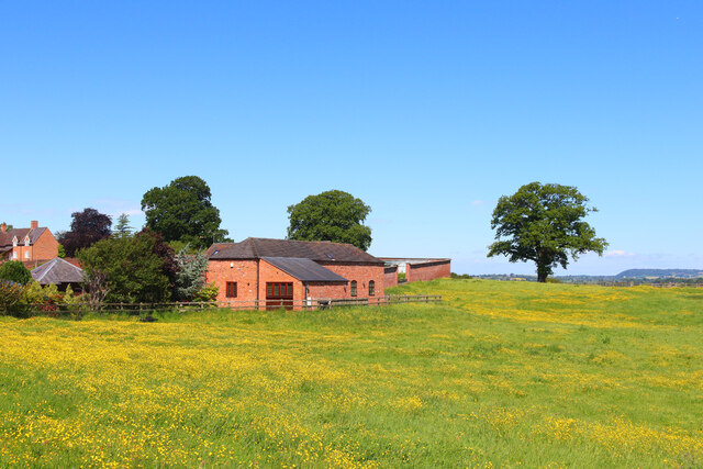
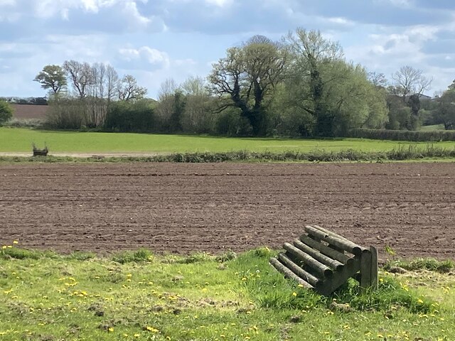
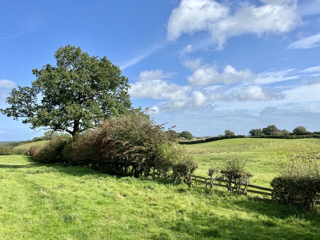
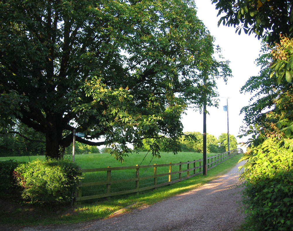
The village is known for its picturesque surroundings, as it is nestled within the beautiful Marbury Country Park. The park covers an area of 100 acres and features a large lake, woodlands, and meadows, making it a popular spot for outdoor activities such as walking, cycling, and birdwatching. It is also home to a variety of wildlife, including deer, squirrels, and a wide range of bird species.

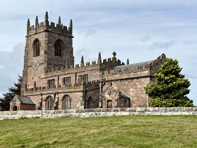
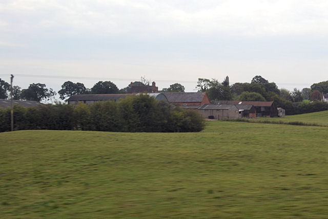
Marbury itself boasts a rich history, with evidence of human habitation dating back to the Roman era. The village features several historic buildings, including St. Michael and All Angels Church, a charming 19th-century structure that serves as the spiritual center of the community.

The village is well-connected to neighboring towns and cities, with good transport links to Whitchurch and the wider region. It offers a peaceful and idyllic lifestyle, away from the hustle and bustle of urban areas, while still providing access to essential amenities and services.

In summary, Marbury is a quaint village in Cheshire known for its stunning natural surroundings, historic landmarks, and tight-knit community. It is a haven for nature lovers and those seeking a tranquil and picturesque place to call home.

If you have any feedback on the listing, please let us know in the comments section below.
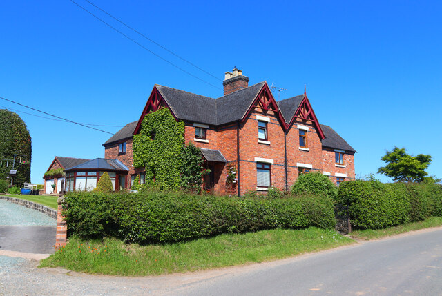
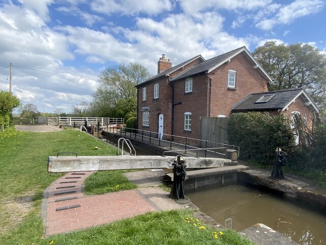
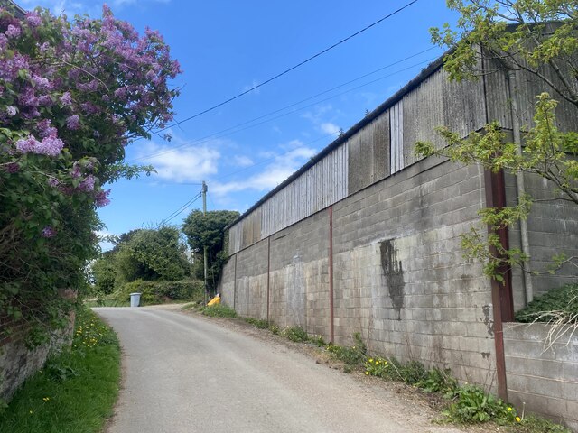
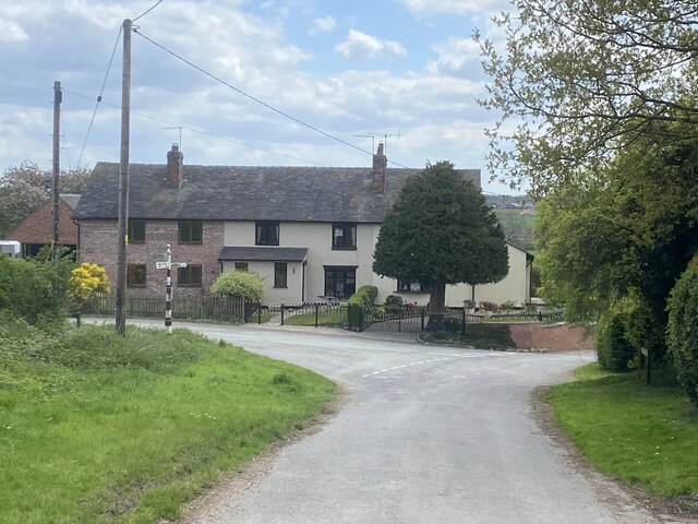
Marbury Images

Images are sourced within 2km of 53.006984/-2.655454 or Grid Reference SJ5645. Thanks to Geograph Open Source API. All images are credited.

Near Townley Farm Minor road near Wrenbury.
Near Townley Farm
Minor road near Wrenbury.
Marbury Equestrian Centre Farm near Marbury, Shropshire.
Marbury Equestrian Centre
Farm near Marbury, Shropshire.
Off Wrenbury Road Field near Marbury.
Off Wrenbury Road
Field near Marbury.
Marbury Hall Farm Buildings on the edge of Marbury Hall Farm.
Marbury Hall Farm
Buildings on the edge of Marbury Hall Farm.
Hollis Lane House on Hollis Lane, near Marbury.
Hollis Lane
House on Hollis Lane, near Marbury.
Marbury Lock With the lock keeper's house.
Marbury Lock
With the lock keeper's house.
Farm building at Higher Hall Farm, Norbury
Cottages by road junction In the centre of Norbury.
Cottages by road junction
In the centre of Norbury.
Field with horse jump Adjacent to Llangollen canal.
Field with horse jump
Adjacent to Llangollen canal.
Church of St Michael, Marbury, Cheshire
Farm buildings at Cross Hill farm
Steer Bridge Bridge 24 on the Llangollen canal.
Steer Bridge
Bridge 24 on the Llangollen canal.
Llangollen canal North-west of Marbury.
Llangollen canal
North-west of Marbury.
Field edge by the South Cheshire Way
The Grange Farm near Hollyhurst
Ryebank, as seen from the Llangollen Canal
Lock Cottage, Marbury The cottage has been subject to a two-story extension since the 2008 view shown in <a href="https://www.geograph.org.uk/photo/796132">SJ5646 : Lock House, Marbury</a>.
Lock Cottage, Marbury
The cottage has been subject to a two-story extension since the 2008 view shown in SJ5646 : Lock House, Marbury.
Llangollen Canal near Marbury
Show me another place!

Marbury is located at Grid Ref: SJ5645 (Lat: 53.006984, Lng: -2.655454)

Unitary Authority: Cheshire East

Police Authority: Cheshire

What 3 Words

///frightens.potato.hungry. Near Bickley, Cheshire

Related Wikis

Marbury, Cheshire

Marbury is a small village located at SJ560457 in the civil parish of Marbury and District, formerly Marbury cum Quoisley, within the unitary authority...

St Michael's Church, Marbury

St Michael's Church, also known as St Michael and All Angels, stands on a small rise overlooking Big Mere in the village of Marbury, Cheshire, England...

Quoisley Meres

Quoisley Meres refers to two meres, Quoisley Big Mere and Quoisley Little Mere, near the village of Marbury, in Cheshire, England. Glacial in origin, the...

Norbury, Cheshire

Norbury is a hamlet and former civil parish, now in the parish of Marbury and District, in the Cheshire East district, in the ceremonial county of Cheshire...

Wirswall

Wirswall is a village and former civil parish, now in the parish of Marbury and District, in the unitary authority area of Cheshire East and the ceremonial...

Brankelow Cottage

Brankelow Cottage, also known as Brankelow Folly and Brankelow House, is a folly on the Combermere Abbey estate, in Cheshire, England. It is listed at...

Bradeley Green

Bradeley Green is a village in Cheshire East, England. It is located on the A49 road north of Whitchurch and on the county border with Shropshire.

Combermere Abbey

Combermere Abbey is a former monastery, later a country house, near Burleydam, between Nantwich, Cheshire and Whitchurch in Shropshire, England, located...

Nearby Amenities

Located within 500m of 53.006984,-2.655454
Barrier: stile
Foot: yes
Lat/Long: 53.0075248/-2.6585983
Barrier: stile
Foot: yes
Lat/Long: 53.0077671/-2.6611203
Barrier: stile
Foot: yes
Lat/Long: 53.0079852/-2.6620678
Barrier: stile
Foot: yes
Lat/Long: 53.0079657/-2.6622827
Barrier: stile
Foot: yes
Lat/Long: 53.0078021/-2.6571095
Bench
Lat/Long: 53.0077598/-2.6569957
Barrier: kissing_gate
Foot: yes
Lat/Long: 53.0059686/-2.6564539
Bench
Lat/Long: 53.006083/-2.6567202
Bench
Lat/Long: 53.0061122/-2.656769
Bench
Lat/Long: 53.0061411/-2.6568299
Barrier: stile
Foot: yes
Lat/Long: 53.0044677/-2.655611
Bus Stop
Marbury, Wirswall Road / The Swan PH
Bus: yes
Naptan AtcoCode: 0600CR17822
Naptan Bearing: E
Naptan CommonName: The Swan PH
Naptan Crossing: Hollins Lane
Naptan Indicator: o/s
Naptan Landmark: The Swan PH
Naptan LocalityName: Marbury
Naptan NaptanCode: chetjwd
Naptan ShortCommonName: The Swan PH
Naptan Street: Wirswall Road
Naptan Verified: no
Network: Cheshire East Council
Operator: Ansa Transport
Public Transport: platform
Source: naptan_import
Lat/Long: 53.0070723/-2.6556705
Bus Stop
Marbury, Wirswall Road / The Swan PH
Bus: yes
Naptan AtcoCode: 0600CR17824
Naptan Bearing: W
Naptan BusStopType: CUS
Naptan CommonName: The Swan PH
Naptan Crossing: Hollins Lane
Naptan Indicator: opp
Naptan Landmark: The Swan PH
Naptan LocalityName: Marbury
Naptan NaptanCode: chetmjm
Naptan ShortCommonName: The Swan PH
Naptan Street: Wirswall Road
Naptan Verified: no
Network: Cheshire East Council
Operator: Ansa Transport
Public Transport: platform
Source: naptan_import
Lat/Long: 53.0069722/-2.6557282
Bus Stop
Marbury, School Lane / School Close
Bus: yes
Naptan AtcoCode: 0600CR624
Naptan Bearing: SW
Naptan BusStopType: CUS
Naptan CommonName: School Close
Naptan Crossing: School Close
Naptan Indicator: cnr
Naptan Landmark: Cholmondeley House
Naptan LocalityName: Marbury
Naptan NaptanCode: chegmam
Naptan ShortCommonName: School Close
Naptan Street: School Lane
Naptan Verified: no
Network: Cheshire East Council
Operator: Ansa Transport
Public Transport: platform
Source: naptan_import
Lat/Long: 53.0091938/-2.6556148
Bus Stop
Marbury, School Lane / School Close
Bus: yes
Naptan AtcoCode: 0600CR625
Naptan Bearing: NE
Naptan BusStopType: CUS
Naptan CommonName: School Close
Naptan Crossing: School Close
Naptan Indicator: opp
Naptan Landmark: Cholmondeley House
Naptan LocalityName: Marbury
Naptan NaptanCode: chegjtj
Naptan ShortCommonName: School Close
Naptan Street: School Lane
Naptan Verified: no
Network: Cheshire East Council
Operator: Ansa Transport
Public Transport: platform
Source: naptan_import
Lat/Long: 53.0092375/-2.655854
Marbury
Place: village
Lat/Long: 53.0068826/-2.6553661
Pub
The Swan
Addr Postcode: SY13 4LS
Addr Street: Wrenbury Road
Fhrs Id: 891989
Source: OS_OpenData_StreetView
Source Addr: FHRS Open Data
Lat/Long: 53.0072119/-2.655333
Leisure: playground
Lat/Long: 53.008215/-2.6557407
Post Box
Post Box Type: lamp
Lat/Long: 53.0088493/-2.6560975
Bench
Lat/Long: 53.0080294/-2.6569571
Telephone
Defibrillator
Booth: K6
Covered: booth
Defibrillator Location: inside red phone box, Wrenbury Road, Marbury
Emergency: defibrillator
Man Made: telephone_box
Old Phone: +44 1948663771
Lat/Long: 53.0076146/-2.6541488
Information: guidepost
Tourism: information
Lat/Long: 53.00708/-2.6552079
Advertising: board
Lat/Long: 53.0085458/-2.6561721
The data included in this document is from www.openstreetmap.org. The data is made available under ODbL.

Have you been to Marbury?

Leave your review of Marbury below (or comments, questions and feedback).