Long Preston
Civil Parish in Yorkshire Craven
England
Long Preston
Long Preston is a civil parish located in the district of Craven, in the county of North Yorkshire, England. Situated in the heart of the Yorkshire Dales National Park, it is a picturesque village with a population of around 1,000 residents.
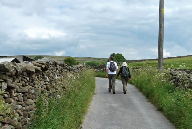
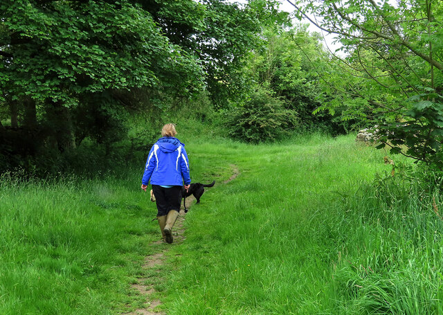
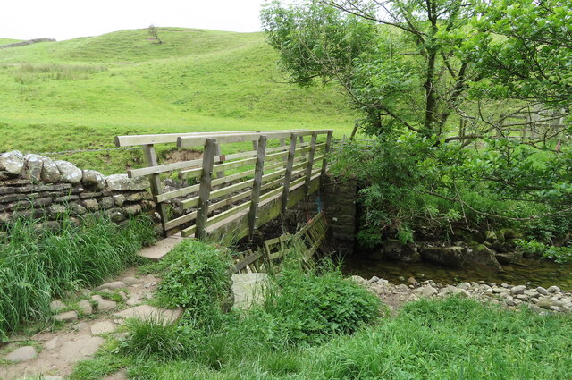
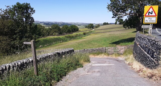
The village is surrounded by stunning countryside, offering breathtaking views of rolling hills, lush green meadows, and charming stone cottages. Long Preston is known for its idyllic location, attracting both nature lovers and outdoor enthusiasts. The nearby River Ribble flows through the village, providing opportunities for fishing and riverside walks.
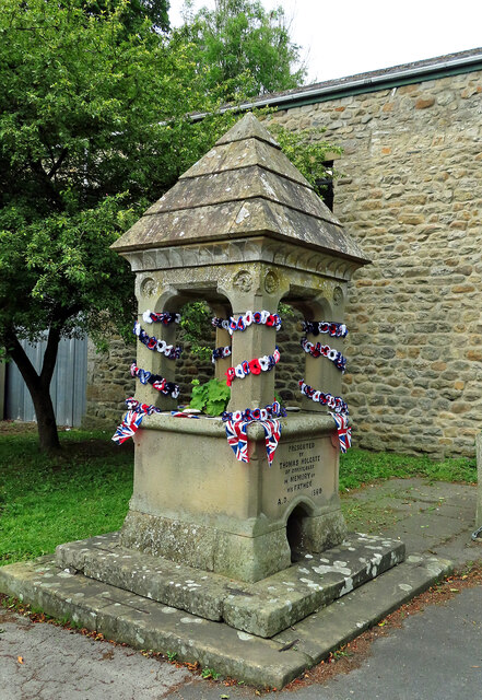
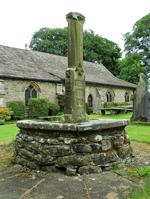
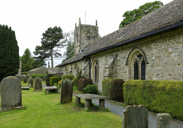
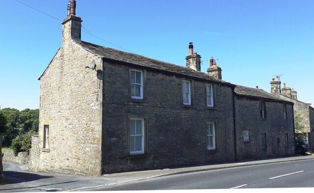
Long Preston has a rich history, with evidence of human occupation dating back to Roman times. The village features several historic buildings, including St. Mary's Church, which dates back to the 12th century and is a Grade I listed building.
In terms of amenities, Long Preston offers a range of facilities for residents and visitors. There is a primary school, a village hall, a post office, and a local pub. The community is close-knit, with various events and activities organized throughout the year, fostering a strong sense of community spirit.
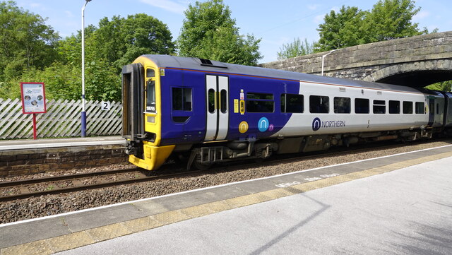
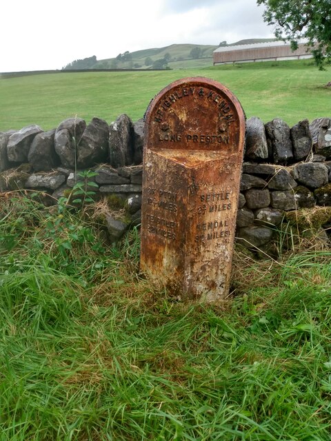
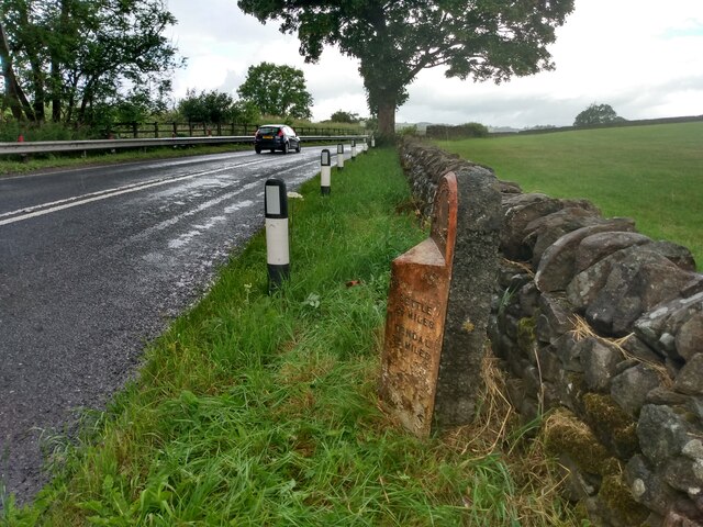
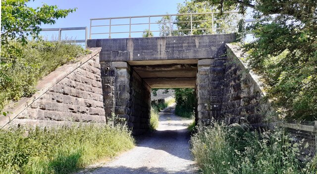
The village is well-connected, with good transport links to nearby towns and cities. The A65 road passes through Long Preston, providing easy access to Skipton, Settle, and Lancaster. The nearest railway station is located in the neighboring village of Hellifield.
Overall, Long Preston is a charming and vibrant village, offering a peaceful and picturesque setting amidst the stunning Yorkshire Dales landscape.
If you have any feedback on the listing, please let us know in the comments section below.
Long Preston Images
Images are sourced within 2km of 54.032167/-2.261938 or Grid Reference SD8259. Thanks to Geograph Open Source API. All images are credited.


Long Preston is located at Grid Ref: SD8259 (Lat: 54.032167, Lng: -2.261938)
Division: West Riding
Administrative County: North Yorkshire
District: Craven
Police Authority: North Yorkshire
What 3 Words
///erupt.swimsuits.starred. Near Hellifield, North Yorkshire
Nearby Locations
Related Wikis

Settle Junction railway station
Settle Junction railway station was located near the town of Settle, North Yorkshire, England, immediately to south of the junction between the Midland...

Long Preston
Long Preston is a village and civil parish in the Craven district of North Yorkshire, England, in the Yorkshire Dales. It lies along the A65 road, and...

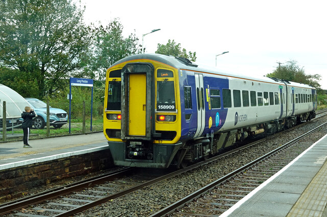
Long Preston railway station
Long Preston is a railway station on the Bentham Line, which runs between Leeds and Morecambe via Skipton. The station, situated 37+1⁄2 miles (60 km) north...

Rathmell
Rathmell is a village and civil parish in the Craven district of North Yorkshire, England. The population of the civil parish in the 2011 census was 305...
Hellifield engine shed
Hellifield Engine Shed was a railway locomotive depot adjacent to Hellifield railway station in North Yorkshire, England. The depot opened in 1880 and...

Scaleber Force
Scaleber Force (also known as Scaleber Foss and Scaleber Waterfall), is a 40-foot (12 m) high waterfall on Stockdale Beck, later the Long Preston Beck...

Wigglesworth
Wigglesworth is a village and civil parish in the Craven district of North Yorkshire, England. The population of the civil parish taken at the 2011 Census...
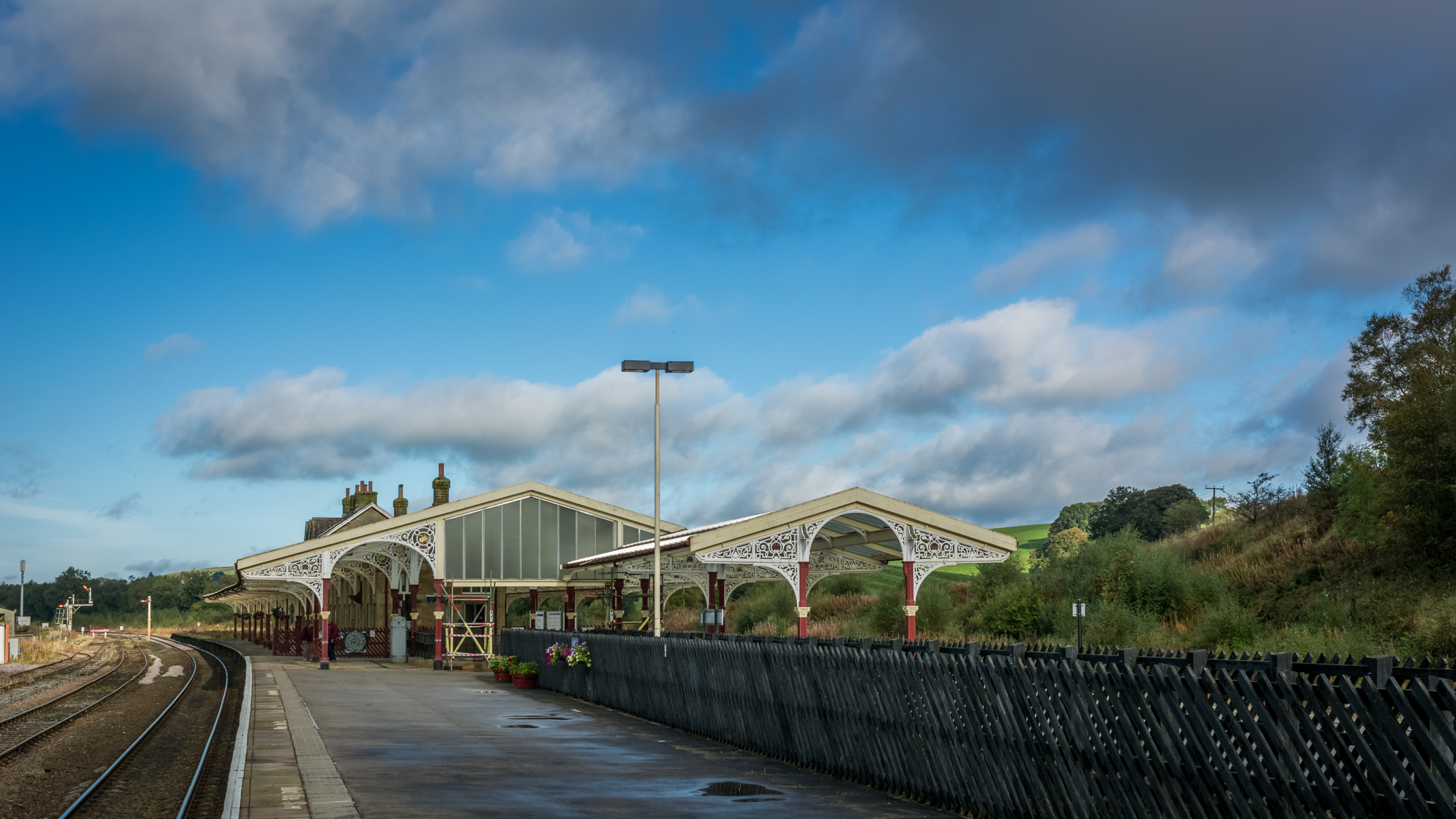
Hellifield railway station
Hellifield is a railway station on the Bentham Line, which runs between Leeds and Morecambe via Skipton. The station, situated 36 miles 17 chains (58.3...
Nearby Amenities
Located within 500m of 54.032167,-2.261938Have you been to Long Preston?
Leave your review of Long Preston below (or comments, questions and feedback).