Riddings Plantations

Wood, Forest in Yorkshire Craven

England

Riddings Plantations

Celebrating the Platinum Jubilee On my visit, Long Preston’s memorial drinking fountain was decorated as part of the Platinum Jubilee celebrations. For information about the fountain, see <a href="https://www.geograph.org.uk/photo/5906887">SD8358 : Memorial drinking fountain</a>
Celebrating the Platinum Jubilee Credit: Mary and Angus Hogg

The requested URL returned error: 429 Too Many Requests

If you have any feedback on the listing, please let us know in the comments section below.

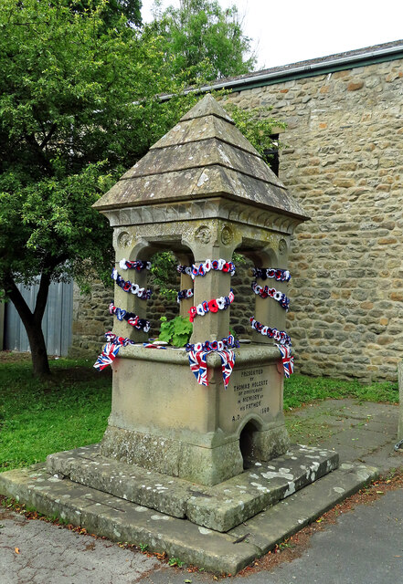
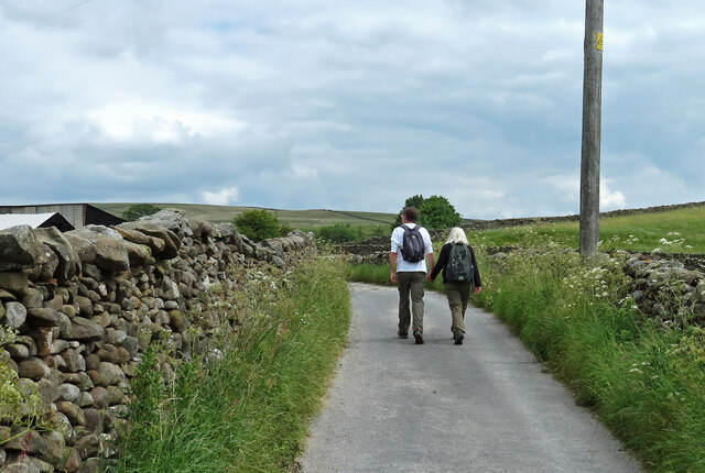
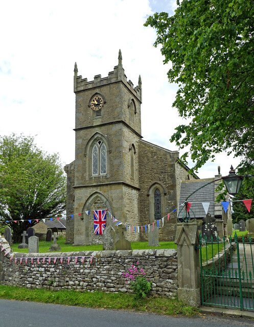
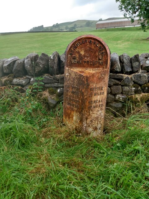
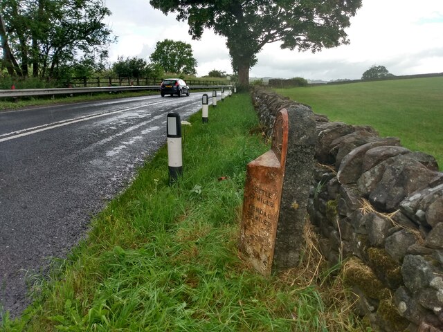
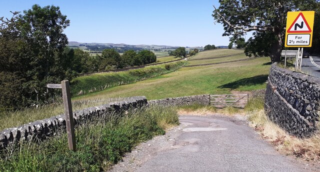
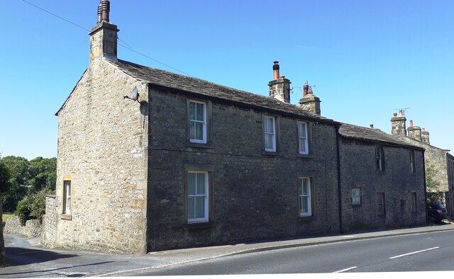
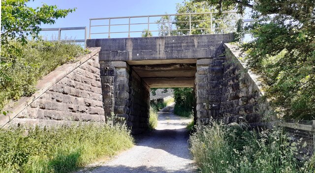
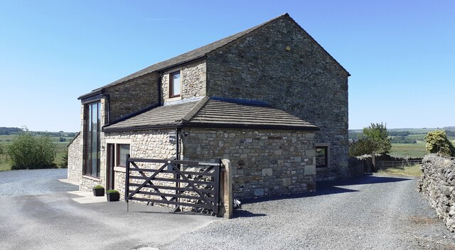
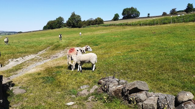
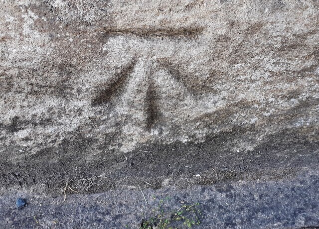
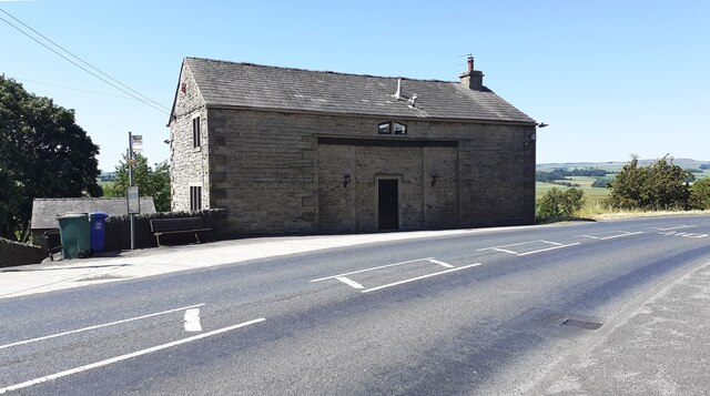
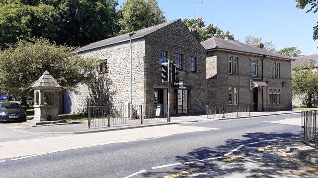
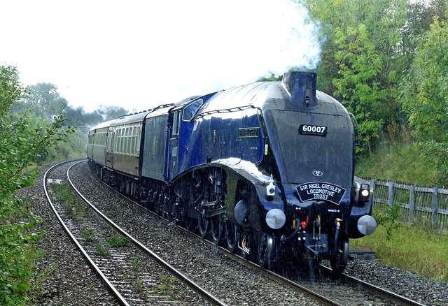
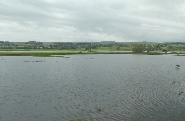
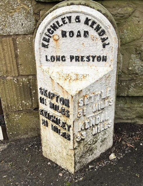
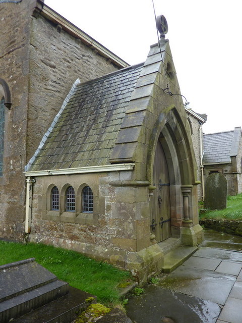
Riddings Plantations Images

Images are sourced within 2km of 54.033405/-2.2696023 or Grid Reference SD8259. Thanks to Geograph Open Source API. All images are credited.

Celebrating the Platinum Jubilee On my visit, Long Preston’s memorial drinking fountain was decorated as part of the Platinum Jubilee celebrations. For information about the fountain, see <a href="https://www.geograph.org.uk/photo/5906887">SD8358 : Memorial drinking fountain</a>
Celebrating the Platinum Jubilee
On my visit, Long Preston’s memorial drinking fountain was decorated as part of the Platinum Jubilee celebrations. For information about the fountain, see SD8358 : Memorial drinking fountain
Walking on Scalehaw Lane A popular route for walkers near Long Preston.
Walking on Scalehaw Lane
A popular route for walkers near Long Preston.
Holy Trinity Church, Rathmell Viewed in disappointing mid-June light, the churchyard was decorated for the Queen's Platinum Jubilee. For information about the building, see <a href="https://www.geograph.org.uk/photo/1445269">SD8059 : Holy Trinity Church, Rathmell</a>
Holy Trinity Church, Rathmell
Viewed in disappointing mid-June light, the churchyard was decorated for the Queen's Platinum Jubilee. For information about the building, see SD8059 : Holy Trinity Church, Rathmell
Old milestone Another of the original 37 milestones set up on this route in 1893/94 for the West Riding CC.   It is looking very sad in its rusty coat.  There is no foundry name on the bevel but it could have been made by William Towler at the Globe Foundry in Leeds as were several milestones on this road.
Old milestone
Another of the original 37 milestones set up on this route in 1893/94 for the West Riding CC. It is looking very sad in its rusty coat. There is no foundry name on the bevel but it could have been made by William Towler at the Globe Foundry in Leeds as were several milestones on this road.
Old milestone Travelling towards Settle near Skir Beck, the thickness of the backing stone on these West Riding CC milestones can be appreciated.   615 were set up all over the old West Riding in 12 months from 1893/94.  It is Grade II listed 1301418.
Old milestone
Travelling towards Settle near Skir Beck, the thickness of the backing stone on these West Riding CC milestones can be appreciated. 615 were set up all over the old West Riding in 12 months from 1893/94. It is Grade II listed 1301418.
Footpath between A65 and bridge under railway The railway is heading to Settle Junction where the lines to Carlisle and Morecambe diverge
Footpath between A65 and bridge under railway
The railway is heading to Settle Junction where the lines to Carlisle and Morecambe diverge
Benchmark on 'Lane Side' on SW side of Main Street Ordnance Survey flush bracket (serial number 1474)  levelled at 151.574m above Newlyn Datum in 1952, verified 1968
Benchmark on 'Lane Side' on SW side of Main Street
Ordnance Survey flush bracket (serial number 1474) levelled at 151.574m above Newlyn Datum in 1952, verified 1968
Lane Side and Ash Lea on SW side of Main Street (A65) There is an Ordnance Survey benchmark <a href="https://www.geograph.org.uk/photo/7515765">SD8358 : Benchmark on 'Lane Side' on SW side of Main Street</a> on the near corner, road face, of the left hand face
Lane Side and Ash Lea on SW side of Main Street (A65)
There is an Ordnance Survey benchmark SD8358 : Benchmark on 'Lane Side' on SW side of Main Street on the near corner, road face, of the left hand face
Bridge taking railway over footpath NW of Long Preston Station
Goosemires Laithe on south side of Litter Lane
Sheep in field on north side of Litter Lane
Benchmark on Long Meadow Ordnance Survey cut mark benchmark levelled at 147.907m above Newlyn Datum verified 1953
Benchmark on Long Meadow
Ordnance Survey cut mark benchmark levelled at 147.907m above Newlyn Datum verified 1953
Long Meadow on SW side of A65 There is an Ordnance Survey benchmark <a href="https://www.geograph.org.uk/photo/7515811">SD8258 : Benchmark on Long Meadow</a> on a stone at the base of the house left of the door recess
Long Meadow on SW side of A65
There is an Ordnance Survey benchmark SD8258 : Benchmark on Long Meadow on a stone at the base of the house left of the door recess
Buildings on SW side of Main Street (A65) The left hand building houses Rohan clothing retailer. To the left of the buildings is a memorial drinking fountain <a href="https://www.geograph.org.uk/photo/5906887">SD8358 : Memorial drinking fountain</a>
Buildings on SW side of Main Street (A65)
The left hand building houses Rohan clothing retailer. To the left of the buildings is a memorial drinking fountain SD8358 : Memorial drinking fountain
Steaming in the rain Sod’s Law kicked in on this visit to Long Preston Station as the only rain of the afternoon fell just as the train arrived. Even in poor weather conditions, who can resist a shot of Sir Nigel Gresley coasting down the slope between Settle and Hellifield. <a href="https://www.geograph.org.uk/photo/7613648">NZ8205 : Sir Nigel Gresley at Grosmont</a> shows the locomotive to full advantage in better weather.
Steaming in the rain
Sod’s Law kicked in on this visit to Long Preston Station as the only rain of the afternoon fell just as the train arrived. Even in poor weather conditions, who can resist a shot of Sir Nigel Gresley coasting down the slope between Settle and Hellifield. NZ8205 : Sir Nigel Gresley at Grosmont shows the locomotive to full advantage in better weather.
Flooded fields in Ribblesdale
Old Milestone by the A65, Long Preston Metal plate attached to stone post by the A65, in parish of LONG PRESTON (CRAVEN District), Long Preston, in pavement, below road level, next to wall, at bus stop, on North side of road. WR iron casting, erected by the County Council in the 19th century. 

Inscription reads:-
: SKIPTON / 11¾ MILES / {line} / KEIGHLEY / 21 MILES : : KEIGHLEY & KENDAL / ROAD / LONG PRESTON : : SETTLE / 3¾ MILES / {line} / KENDAL / 33 MILES :
Hole in top.
Maker:-
: WILLIAM TOWLER / GLOBE FOUNDRY / - LEEDS - :

Grade II listed. 
List Entry Number: 1166456 <span class="nowrap"><a title="https://historicengland.org.uk/listing/the-list/list-entry/1166456" rel="nofollow ugc noopener" href="https://historicengland.org.uk/listing/the-list/list-entry/1166456">Link</a><img style="margin-left:2px;" alt="External link" title="External link - shift click to open in new window" src="https://s1.geograph.org.uk/img/external.png" width="10" height="10"/></span>

Milestone Society National ID: YN_KEKN21.
Old Milestone by the A65, Long Preston
Metal plate attached to stone post by the A65, in parish of LONG PRESTON (CRAVEN District), Long Preston, in pavement, below road level, next to wall, at bus stop, on North side of road. WR iron casting, erected by the County Council in the 19th century. Inscription reads:- : SKIPTON / 11¾ MILES / {line} / KEIGHLEY / 21 MILES : : KEIGHLEY & KENDAL / ROAD / LONG PRESTON : : SETTLE / 3¾ MILES / {line} / KENDAL / 33 MILES : Hole in top. Maker:- : WILLIAM TOWLER / GLOBE FOUNDRY / - LEEDS - : Grade II listed. List Entry Number: 1166456 LinkExternal link Milestone Society National ID: YN_KEKN21.
Holy Trinity Church, Rathmell, Porch
Show me another place!

Riddings Plantations is located at Grid Ref: SD8259 (Lat: 54.033405, Lng: -2.2696023)

Division: West Riding

Administrative County: North Yorkshire

District: Craven

Police Authority: North Yorkshire

What 3 Words

///icon.craziest.bleaching. Near Settle, North Yorkshire

Related Wikis

Settle Junction railway station

Settle Junction railway station was located near the town of Settle, North Yorkshire, England, immediately to south of the junction between the Midland...

Long Preston

Long Preston is a village and civil parish in the Craven district of North Yorkshire, England, in the Yorkshire Dales. It lies along the A65 road, and...

Rathmell

Rathmell is a village and civil parish in the Craven district of North Yorkshire, England. The population of the civil parish in the 2011 census was 305...

Long Preston railway station

Long Preston is a railway station on the Bentham Line, which runs between Leeds and Morecambe via Skipton. The station, situated 37+1⁄2 miles (60 km) north...

Nearby Amenities

Located within 500m of 54.033405,-2.2696023
Power: pole
Source: Bing
Lat/Long: 54.0299925/-2.2736358
Power: pole
Source: Bing
Lat/Long: 54.030622/-2.2738386
Power: pole
Source: Bing
Lat/Long: 54.031675/-2.2741815
Power: pole
Source: Bing
Lat/Long: 54.0326204/-2.2745113
Power: pole
Source: Bing
Lat/Long: 54.0328572/-2.2769532
Power: pole
Source: Bing
Lat/Long: 54.0331738/-2.2762282
Power: pole
Source: Bing
Lat/Long: 54.033469/-2.2767883
Power: pole
Source: Bing
Lat/Long: 54.0335151/-2.2748149
Power: pole
Source: Bing
Lat/Long: 54.0335412/-2.2754116
Power: pole
Source: Bing
Lat/Long: 54.0339009/-2.274595
Power: pole
Source: Bing
Lat/Long: 54.0341376/-2.2755346
Power: pole
Source: Bing
Lat/Long: 54.0342406/-2.2738334
Power: pole
Source: Bing
Lat/Long: 54.0344374/-2.2749536
Power: pole
Source: Bing
Lat/Long: 54.03461/-2.2730027
Power: pole
Source: Bing
Lat/Long: 54.0347448/-2.2743621
Power: pole
Source: Bing
Lat/Long: 54.0349604/-2.2739557
Power: pole
Source: Bing
Lat/Long: 54.0350983/-2.2753436
Power: pole
Source: Bing
Lat/Long: 54.0358346/-2.2755896
Barrier: cattle_grid
Lat/Long: 54.0300167/-2.2717424
Barrier: stile
Lat/Long: 54.0351606/-2.2744753
The data included in this document is from www.openstreetmap.org. The data is made available under ODbL.

Have you been to Riddings Plantations?

Leave your review of Riddings Plantations below (or comments, questions and feedback).