Charity Wood

Wood, Forest in Dorset

England

Charity Wood

Direction Sign – Signpost on The Triangle, Winterborne Stickland Located south of the village centre on a grass triangle in the centre of the junction of The Triangle, Clenston Road, North Street and West Street. Winterborne Stickland parish. 4 arms and annulus and bar finial. 

Located south of the village centre on a grass triangle in the centre of the junction of The Triangle, Clenston Road, North Street and West Street. Winterborne Stickland parish. 4 arms and annulus and bar finial.

Fingerpost DO_ST8304 was replaced in 2018 and moved from GR ST8354304515 to ST8354204517, the arms with arrow ends were replaced by round end arms with slight changes in lettering and the Dorset CC annulus was replaced with an annulus and bar finial DORSET / THE TRIANGLE / 835045. To see it in its former state as DO_ST8304 see <a title="https://www.geograph.org.uk/photo/6098990" href="https://www.geograph.org.uk/photo/6098990">Link</a>.

Milestone Society National ID: DO_ST8304A
Direction Sign – Signpost on The Triangle, Winterborne Stickland Credit: C Payne

The requested URL returned error: 429 Too Many Requests

If you have any feedback on the listing, please let us know in the comments section below.
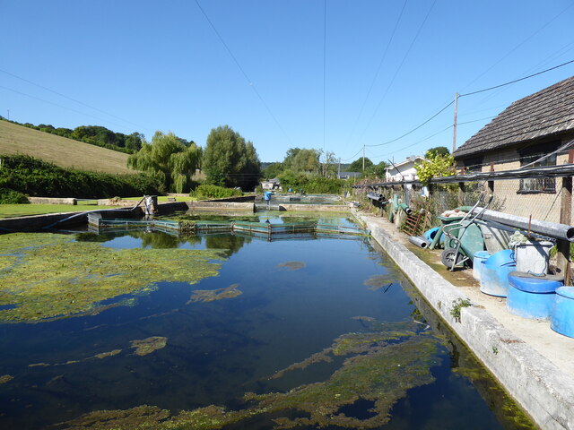
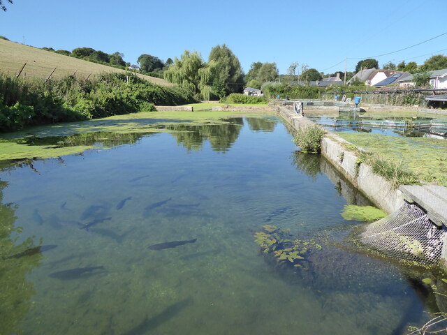
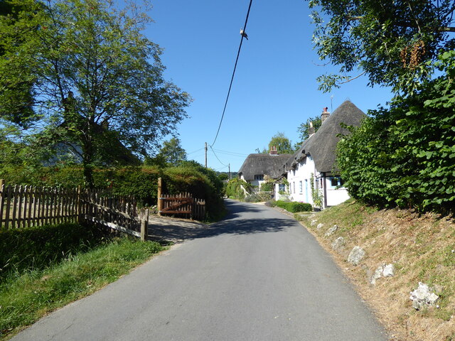
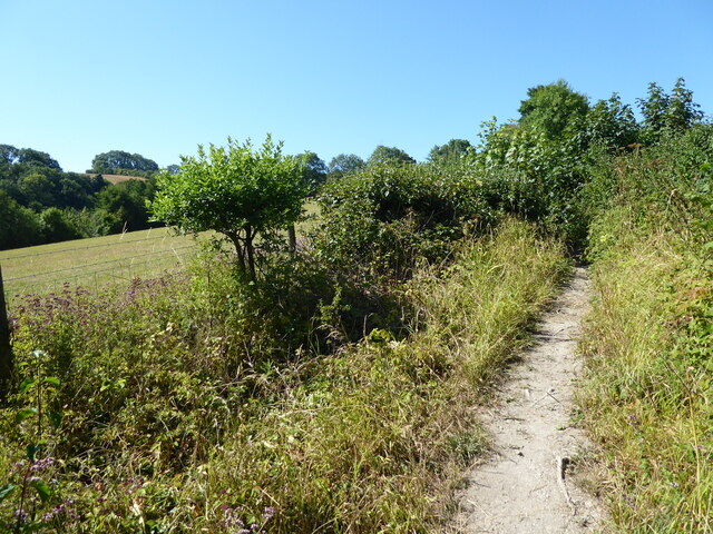
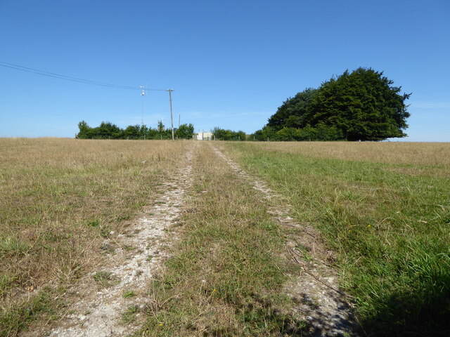
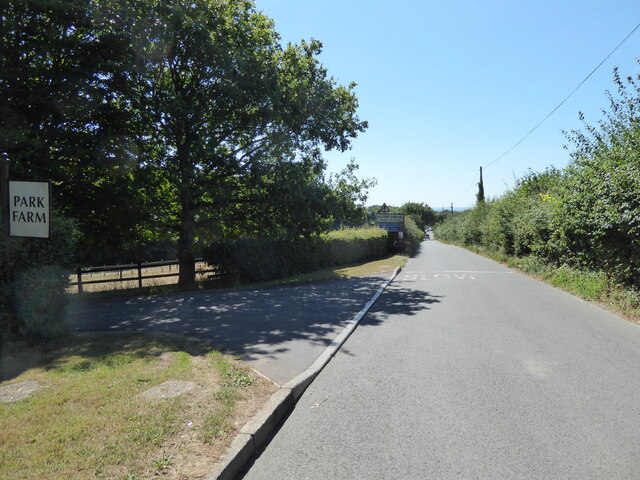
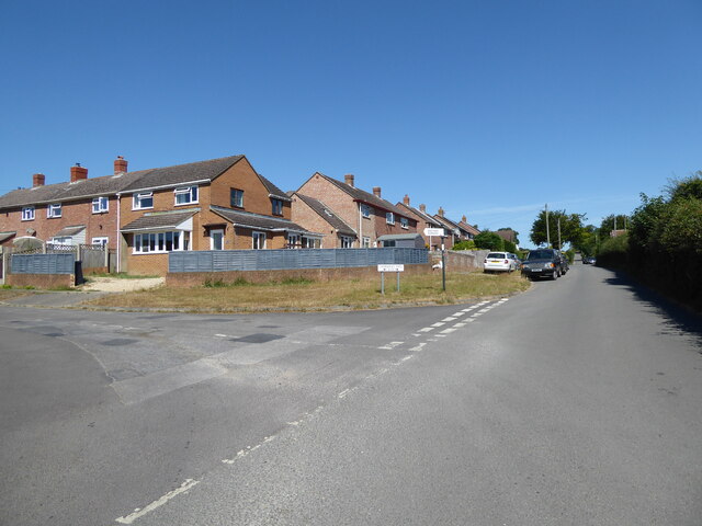
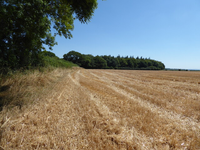
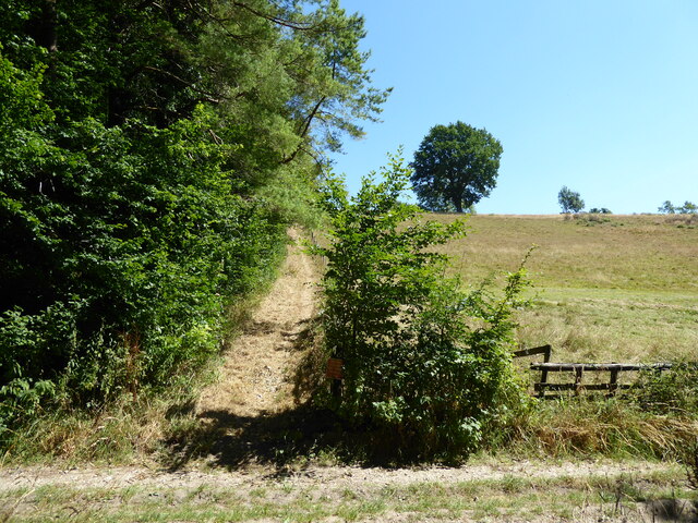
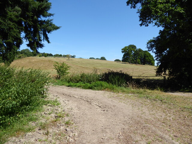
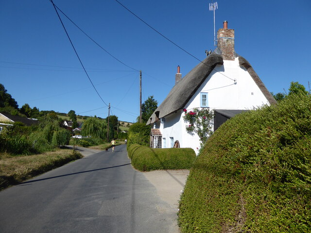
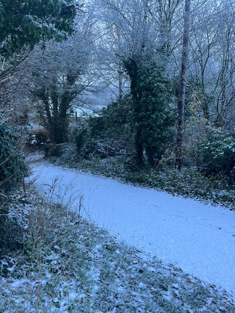
Charity Wood Images

Images are sourced within 2km of 50.827006/-2.2507142 or Grid Reference ST8203. Thanks to Geograph Open Source API. All images are credited.

Direction Sign – Signpost on The Triangle, Winterborne Stickland Located south of the village centre on a grass triangle in the centre of the junction of The Triangle, Clenston Road, North Street and West Street. Winterborne Stickland parish. 4 arms and annulus and bar finial. 

Located south of the village centre on a grass triangle in the centre of the junction of The Triangle, Clenston Road, North Street and West Street. Winterborne Stickland parish. 4 arms and annulus and bar finial.

Fingerpost DO_ST8304 was replaced in 2018 and moved from GR ST8354304515 to ST8354204517, the arms with arrow ends were replaced by round end arms with slight changes in lettering and the Dorset CC annulus was replaced with an annulus and bar finial DORSET / THE TRIANGLE / 835045. To see it in its former state as DO_ST8304 see <a title="https://www.geograph.org.uk/photo/6098990" href="https://www.geograph.org.uk/photo/6098990">Link</a>.

Milestone Society National ID: DO_ST8304A
Direction Sign – Signpost on The Triangle, Winterborne Stickland
Located south of the village centre on a grass triangle in the centre of the junction of The Triangle, Clenston Road, North Street and West Street. Winterborne Stickland parish. 4 arms and annulus and bar finial. Located south of the village centre on a grass triangle in the centre of the junction of The Triangle, Clenston Road, North Street and West Street. Winterborne Stickland parish. 4 arms and annulus and bar finial. Fingerpost DO_ST8304 was replaced in 2018 and moved from GR ST8354304515 to ST8354204517, the arms with arrow ends were replaced by round end arms with slight changes in lettering and the Dorset CC annulus was replaced with an annulus and bar finial DORSET / THE TRIANGLE / 835045. To see it in its former state as DO_ST8304 see Link. Milestone Society National ID: DO_ST8304A
Manor Farm Barn, Winterborne Clenston This magnificent 16th century flint and chalk tithe barn was a ruin fifteen years ago, see <a href="https://www.geograph.org.uk/photo/424230">ST8303 : Tithe Barn at Winterborne Clenston</a> and <a href="https://www.geograph.org.uk/photo/626928">ST8303 : Manor Farm Barn - Winterborne Clenston</a>, and over the years since then has deteriorated, see <a href="https://www.geograph.org.uk/photo/3922393">ST8303 : Tithe Barn at Winterborne Clenston</a>, yet nothing has been done to restore it despite the fact that it is Grade I listed and apparently has an impressive hammerbeam roof that may have been removed from nearby Milton Abbey when it was dissolved. It is now on Historic England's 'Heritage At Risk' list. <span class="nowrap"><a title="https://historicengland.org.uk/advice/heritage-at-risk/search-register/list-entry/46892" rel="nofollow ugc noopener" href="https://historicengland.org.uk/advice/heritage-at-risk/search-register/list-entry/46892">Link</a><img style="margin-left:2px;" alt="External link" title="External link - shift click to open in new window" src="https://s1.geograph.org.uk/img/external.png" width="10" height="10"/></span>
Manor Farm Barn, Winterborne Clenston
This magnificent 16th century flint and chalk tithe barn was a ruin fifteen years ago, see ST8303 : Tithe Barn at Winterborne Clenston and ST8303 : Manor Farm Barn - Winterborne Clenston, and over the years since then has deteriorated, see ST8303 : Tithe Barn at Winterborne Clenston, yet nothing has been done to restore it despite the fact that it is Grade I listed and apparently has an impressive hammerbeam roof that may have been removed from nearby Milton Abbey when it was dissolved. It is now on Historic England's 'Heritage At Risk' list. LinkExternal link
Manor Farm Barn, Winterborne Clenston Back of the derelict Grade I listed 16th century chalk and flint tithe barn, see <a href="https://www.geograph.org.uk/photo/7250409">ST8303 : Manor Farm Barn, Winterborne Clenston</a>.
Manor Farm Barn, Winterborne Clenston
Back of the derelict Grade I listed 16th century chalk and flint tithe barn, see ST8303 : Manor Farm Barn, Winterborne Clenston.
Barn, Manor Farm, Winterborne Clenston Grade II listed thatched barn built of chalk, flint and brick, in serious need of repair. <span class="nowrap"><a title="https://historicengland.org.uk/listing/the-list/list-entry/1118619" rel="nofollow ugc noopener" href="https://historicengland.org.uk/listing/the-list/list-entry/1118619">Link</a><img style="margin-left:2px;" alt="External link" title="External link - shift click to open in new window" src="https://s1.geograph.org.uk/img/external.png" width="10" height="10"/></span>
Barn, Manor Farm, Winterborne Clenston
Grade II listed thatched barn built of chalk, flint and brick, in serious need of repair. LinkExternal link
St Nicholas's Church Grade II* listed church, 1840, by Lewis Vuillamy. <span class="nowrap"><a title="https://historicengland.org.uk/listing/the-list/list-entry/1324267?section=official-list-entry" rel="nofollow ugc noopener" href="https://historicengland.org.uk/listing/the-list/list-entry/1324267?section=official-list-entry">Link</a><img style="margin-left:2px;" alt="External link" title="External link - shift click to open in new window" src="https://s1.geograph.org.uk/img/external.png" width="10" height="10"/></span>
St Nicholas's Church
Grade II* listed church, 1840, by Lewis Vuillamy. LinkExternal link
Houghton Springs Fish Farm, Winterbourne Houghton
Arctic Charr in Houghton Springs Fish Farm
Thatched cottages, Winterborne Houghton
Path to Houghton South Down
Reservoir, Houghton Down Clump
The road towards Milton Abbas passing Park Farm
Entrance to Catherine's Well
Entrance to Luccombe Luccombe now boasts holiday accommodation, businesses and crafts, and a riding centre.
Entrance to Luccombe
Luccombe now boasts holiday accommodation, businesses and crafts, and a riding centre.
Public bridleway approaching Weston's Wood
Public bridleway to Oatclose Wood
Public bridleway, Whatcombe Common
Village street, Winterborne Stickland
Higher Houghton Road in the snow
Show me another place!

Charity Wood is located at Grid Ref: ST8203 (Lat: 50.827006, Lng: -2.2507142)

Unitary Authority: Dorset

Police Authority: Dorset

What 3 Words

///desktops.speaker.zone. Near Milborne St Andrew, Dorset

Nearby Locations

New Coppice Charity Wood

Related Wikis

Winterborne Houghton

Winterborne Houghton is a village and civil parish in north Dorset, England. It is situated in a winterbourne valley on the Dorset Downs, five miles (eight...

Winterborne Clenston

Winterborne Clenston is a small village and civil parish in Dorset, England, around 3+1⁄2 miles (5.5 kilometres) southwest of Blandford Forum. In 2013...

Winterborne Stickland

Winterborne Stickland is a village and civil parish in the county of Dorset in southern England. It lies about four miles (six kilometres) west of the...

Milton Abbas

Milton Abbas is a village and civil parish in Dorset, England, lying around 5 miles (8 kilometres) southwest of Blandford Forum. In the 2011 Census the...

Have you been to Charity Wood?

Leave your review of Charity Wood below (or comments, questions and feedback).