Long Newnton

Civil Parish in Wiltshire Cotswold

England

Long Newnton

Long Newnton, Holy Trinity
Long Newnton, Holy Trinity Credit: Dave Kelly

Long Newnton is a civil parish located in the county of Wiltshire, England. Situated in the southwestern part of the county, it lies approximately 6 miles northeast of the town of Tetbury in Gloucestershire. The parish covers an area of about 4.5 square miles and is bordered by the parishes of Brokenborough, Tetbury, Avening, and Westonbirt with Lasborough.

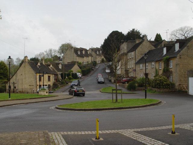
Long Newnton is a rural area characterized by its picturesque countryside and charming village setting. The village itself is small, with a population of around 250 people. It is predominantly residential, consisting of a mix of traditional stone cottages and more modern houses.

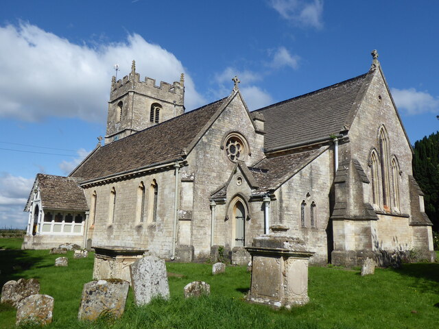
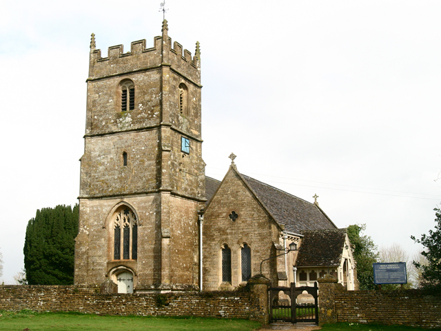
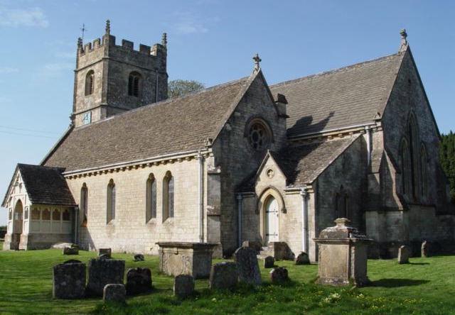
The focal point of the village is the St. Mary the Virgin Church, a beautiful 12th-century building that serves as a place of worship for the local community. The church is known for its historic architecture and stained glass windows.

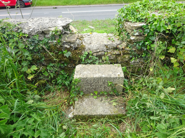
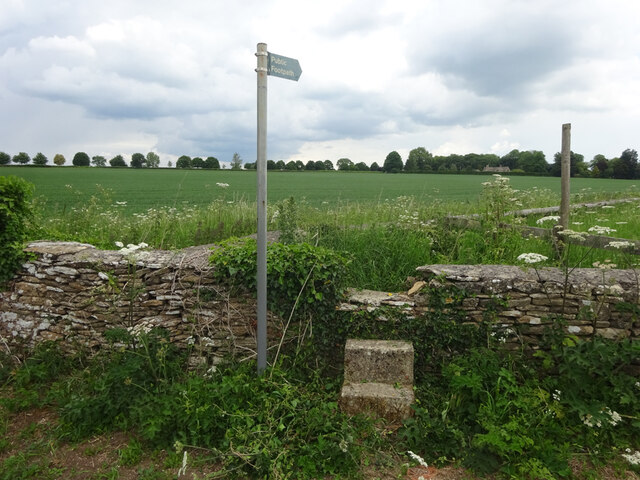
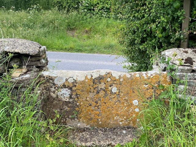
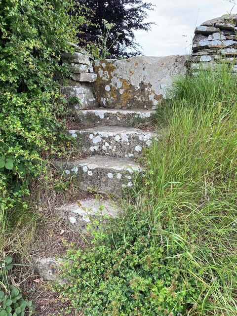
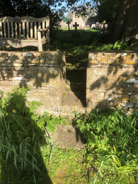
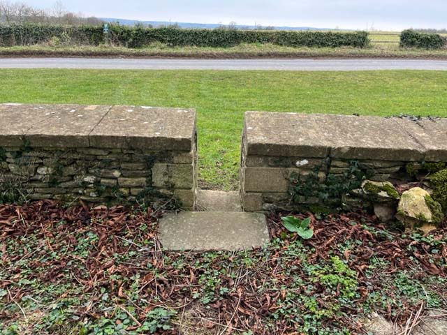
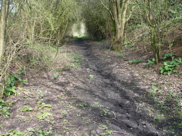
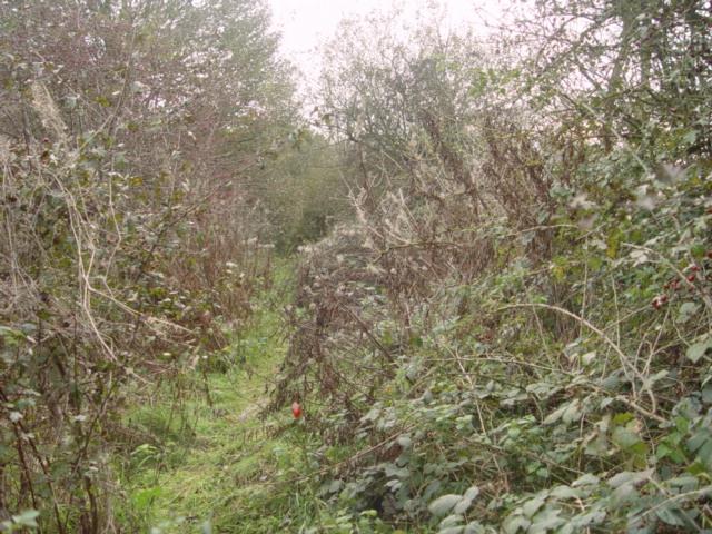
The surrounding countryside of Long Newnton offers ample opportunities for outdoor activities such as walking, cycling, and horse riding. The area is known for its scenic beauty, with rolling hills and open fields. There are also several public footpaths and bridleways that crisscross the parish, providing access to the wider countryside.

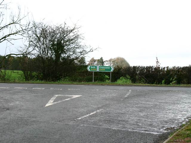
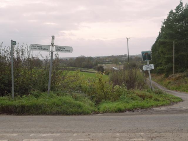
Despite its rural location, Long Newnton benefits from good transport links. The A433 road runs through the parish, connecting it to nearby towns and villages. The closest railway station is Kemble, located about 7 miles to the west, offering regular train services to London and other major cities.

Overall, Long Newnton is a tranquil and picturesque civil parish that offers a peaceful rural lifestyle in the heart of Wiltshire's countryside.

If you have any feedback on the listing, please let us know in the comments section below.

Long Newnton Images

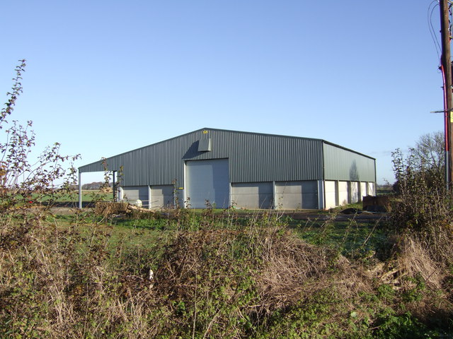
Images are sourced within 2km of 51.634601/-2.129836 or Grid Reference ST9192. Thanks to Geograph Open Source API. All images are credited.

Long Newnton, Holy Trinity
Stone Stile, Long Newnton Looking SW to the B4014, on Gloucestershire footpath NLN12
Stone Stile, Long Newnton
Looking SW to the B4014, on Gloucestershire footpath NLN12
Stone Stile, Long Newnton Looking NE from the B4014, on Gloucestershire footpath NLN12.
Stone Stile, Long Newnton
Looking NE from the B4014, on Gloucestershire footpath NLN12.
Stone Stile, Long Newnton Looking SW to the B4014 on Gloucestershire footpath NLN9. The view from the road is <a href="https://www.geograph.org.uk/photo/7194255">ST9191 : Stone Stile, Long Newnton</a>.
Stone Stile, Long Newnton
Looking SW to the B4014 on Gloucestershire footpath NLN9. The view from the road is ST9191 : Stone Stile, Long Newnton.
Stone Stile, Long Newnton Looking NE off the B4014 on Gloucestershire footpath NLN9 leading due East towards Newnton Farm. The view looking towards the road is <a href="https://www.geograph.org.uk/photo/7194252">ST9191 : Stone Stile, Long Newnton</a>.
Stone Stile, Long Newnton
Looking NE off the B4014 on Gloucestershire footpath NLN9 leading due East towards Newnton Farm. The view looking towards the road is ST9191 : Stone Stile, Long Newnton.
Stone Stile, Long Newnton A gap type stile in the churchyard wall of Holy Trinity Church looking from the road. Which one has to assume is Church Lane, because the house at the Southern junction with the B4104 is called Church Lane House. The view West is <a href="https://www.geograph.org.uk/photo/7419976">ST9092 : Stone Stile, Long Newnton</a>.
Stone Stile, Long Newnton
A gap type stile in the churchyard wall of Holy Trinity Church looking from the road. Which one has to assume is Church Lane, because the house at the Southern junction with the B4104 is called Church Lane House. The view West is ST9092 : Stone Stile, Long Newnton.
Stone Stile, Tetbury Upton On Gloucestershire footpath NTU9, off the A433 opposite Ilsom Care Home. This view looks south to the care home, the view North across fields is <a href="https://www.geograph.org.uk/photo/7327725">ST9094 : Stone Stile, Tetbury Upton</a>.
Stone Stile, Tetbury Upton
On Gloucestershire footpath NTU9, off the A433 opposite Ilsom Care Home. This view looks south to the care home, the view North across fields is ST9094 : Stone Stile, Tetbury Upton.
Stone Stile, Tetbury Upton On Gloucestershire footpath NTU9, off the A433 opposite Ilsom Care Home. This view looks North across fields, the view South to the care home is <a href="https://www.geograph.org.uk/photo/7327723">ST9094 : Stone Stile, Tetbury Upton</a>.
Stone Stile, Tetbury Upton
On Gloucestershire footpath NTU9, off the A433 opposite Ilsom Care Home. This view looks North across fields, the view South to the care home is ST9094 : Stone Stile, Tetbury Upton.
Stone Stile, Long Newnton A gap type stile in the churchyard wall of Holy Trinity Church looking from the road. Which one has to assume is Church Lane, because the house at the Southern junction with the B4104 is called Church Lane House. The view East is <a href="https://www.geograph.org.uk/photo/7205257">ST9092 : Stone Stile, Long Newnton</a>.
Stone Stile, Long Newnton
A gap type stile in the churchyard wall of Holy Trinity Church looking from the road. Which one has to assume is Church Lane, because the house at the Southern junction with the B4104 is called Church Lane House. The view East is ST9092 : Stone Stile, Long Newnton.
A433 Junction near Ilsom Looking North from Newnton Hill road at the A433 Junction to Cirencester and Bath. The junction is approx 1.8 miles North East of Tetbury.
A433 Junction near Ilsom
Looking North from Newnton Hill road at the A433 Junction to Cirencester and Bath. The junction is approx 1.8 miles North East of Tetbury.
Holy Trinity Church Holy Trinity is the parish church at Long Newnton in Gloucestershire. Long Newnton is off the B4014 near Tetbury.
Holy Trinity Church
Holy Trinity is the parish church at Long Newnton in Gloucestershire. Long Newnton is off the B4014 near Tetbury.
Long Newnton Holy Trinity Church
Tetbury Branch Line Track Bed Former G.W.R railway line taken from the site of the former Newnton road bridge looking towards Trouble House Halt
Tetbury Branch Line Track Bed
Former G.W.R railway line taken from the site of the former Newnton road bridge looking towards Trouble House Halt
Pill Box near Long Newnton
Tetbury Branch Line Track Bed Former G.W.R Kemble to Tetbury branch line from Long Newnton bridge looking towards Tetbury
Tetbury Branch Line Track Bed
Former G.W.R Kemble to Tetbury branch line from Long Newnton bridge looking towards Tetbury
Little Lark Hill near Tetbury
Old Windmill Old Windmill taken from former G.W.R branch line Kemble to Tetbury
Old Windmill
Old Windmill taken from former G.W.R branch line Kemble to Tetbury
Great Larkhill Farm Farm Buildings from the junction of the lane to Ashley and the farm track
Great Larkhill Farm
Farm Buildings from the junction of the lane to Ashley and the farm track
Show me another place!

Long Newnton is located at Grid Ref: ST9192 (Lat: 51.634601, Lng: -2.129836)

Administrative County: Gloucestershire

District: Cotswold

Police Authority: Gloucestershire

What 3 Words

///annotated.mattress.composts. Near Tetbury, Gloucestershire

Nearby Locations

Long Newnton

Related Wikis

Long Newnton

Long Newnton is a small village and civil parish in Gloucestershire, England (historically in Wiltshire), lying on the B4014 road between Malmesbury (2...

Tetbury railway station

Tetbury railway station was the terminus station on the Tetbury branch line, serving the Gloucestershire town of Tetbury. == History == The station was...

Tetbury Woolsack Races

The Tetbury Woolsack Races are an annual sporting event in the English town of Tetbury, in Gloucestershire, where competitors must race up and down the...

Tetbury

Tetbury is a town and civil parish inside the Cotswold district in Gloucestershire, England. It lies on the site of an ancient hill fort, on which an Anglo...
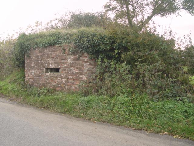
RAF Long Newnton

Royal Air Force Long Newnton or more simply RAF Long Newnton is a former Royal Air Force satellite airfield in north Wiltshire, England, close to the Gloucestershire...

Church of St Mary the Virgin, Tetbury

The Church of St Mary the Virgin is the parish church of Tetbury in the Cotswold District of Gloucestershire, England. It was built in 1781 incorporating...

Tetbury Market House

Tetbury Market House, also known as Tetbury Town Hall, is a municipal building in the Market Place, Tetbury, Gloucestershire, England. The building, which...

The Church House, Tetbury

The Church House, No.1 Church Street, Tetbury, Gloucestershire, England, is a prominent Grade II listed building located on the corner of Church Street...

Nearby Amenities

Located within 500m of 51.634601,-2.129836
Power: pole
Lat/Long: 51.633552/-2.1364707
Power: pole
Lat/Long: 51.6347406/-2.1302158
Power: pole
Lat/Long: 51.6351485/-2.1319082
Power: pole
Lat/Long: 51.6354714/-2.1331072
Power: pole
Lat/Long: 51.6359193/-2.1349096
Power: pole
Lat/Long: 51.6357411/-2.1354461
Power: pole
Lat/Long: 51.6353249/-2.1339574
Power: pole
Lat/Long: 51.6348205/-2.1320276
Power: pole
Lat/Long: 51.6345625/-2.1311438
Power: pole
Lat/Long: 51.6343194/-2.1301621
Power: pole
Lat/Long: 51.6338966/-2.1286386
Power: pole
Lat/Long: 51.6334337/-2.1269193
Power: pole
Lat/Long: 51.6343161/-2.128585
Power: pole
Lat/Long: 51.6334471/-2.1233735
Power: pole
Lat/Long: 51.6338666/-2.1268228
Power: pole
Lat/Long: 51.6329992/-2.1253073
Power: pole
Lat/Long: 51.6318838/-2.1245241
Power: pole
Lat/Long: 51.6334679/-2.1251585
Power: pole
Lat/Long: 51.6334263/-2.1251678
Power: pole
Lat/Long: 51.6324432/-2.1244088
The data included in this document is from www.openstreetmap.org. The data is made available under ODbL.

Have you been to Long Newnton?

Leave your review of Long Newnton below (or comments, questions and feedback).