Long Bredy
Civil Parish in Dorset West Dorset
England
Long Bredy
Long Bredy is a civil parish located in the county of Dorset, England. Situated in the South West region of the country, it is part of the West Dorset district. The parish covers an area of approximately 6.5 square miles and is home to a population of around 200 people.
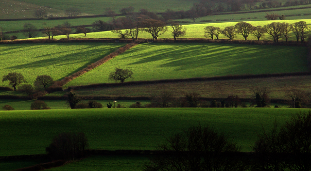
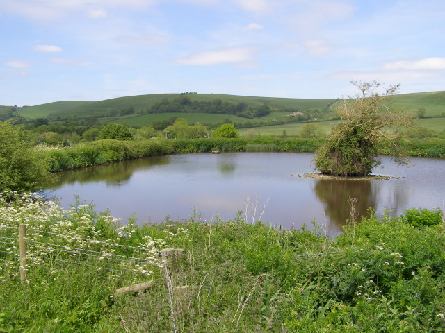
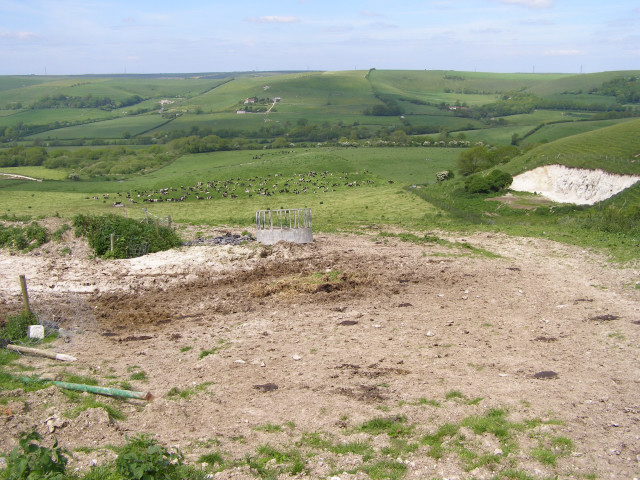
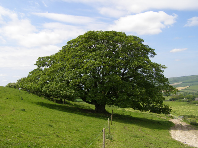
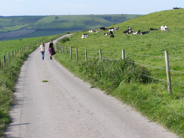
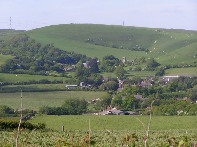
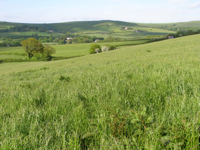
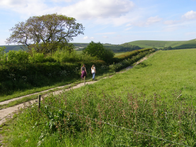
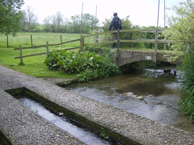
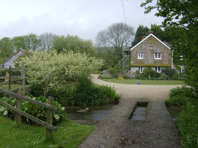
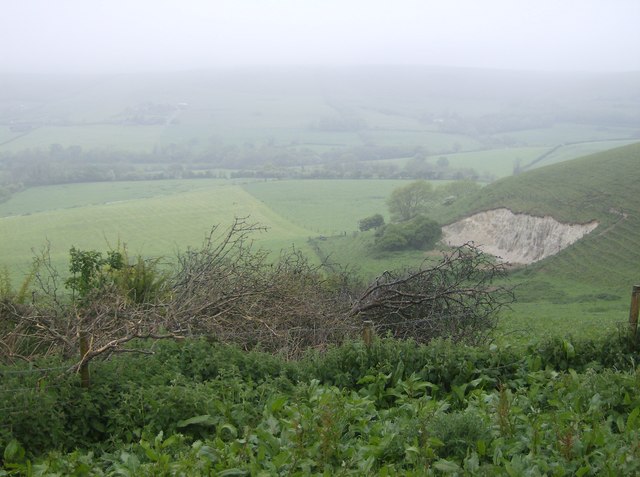
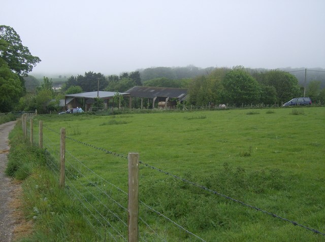
This rural village is nestled in the picturesque Bride Valley, surrounded by rolling hills and beautiful countryside. It is situated about 5 miles northeast of the market town of Bridport and 10 miles west of the county town of Dorchester.
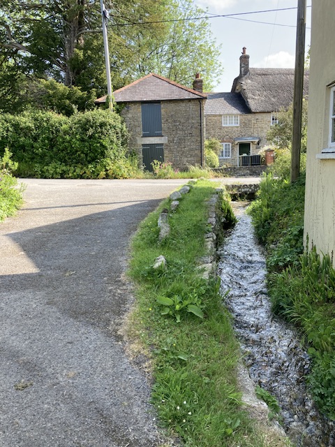
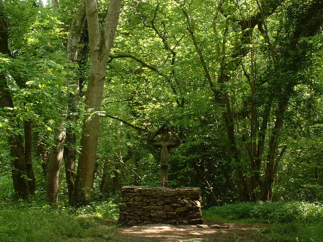
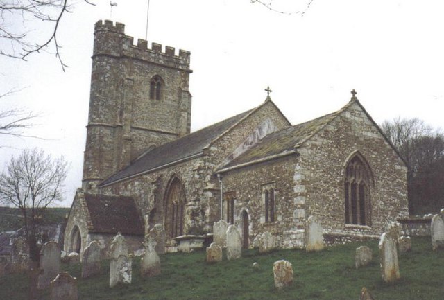
Long Bredy has a rich history, with evidence of human habitation dating back to prehistoric times. The village is known for its charming thatched cottages and historic buildings, such as the medieval Church of St. Peter and St. Paul, which dates back to the 12th century.
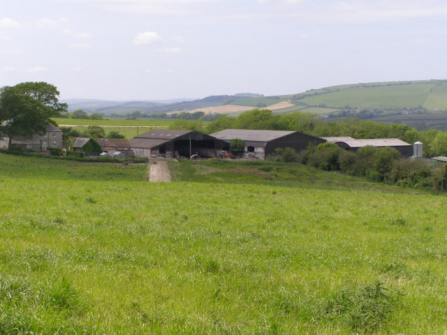
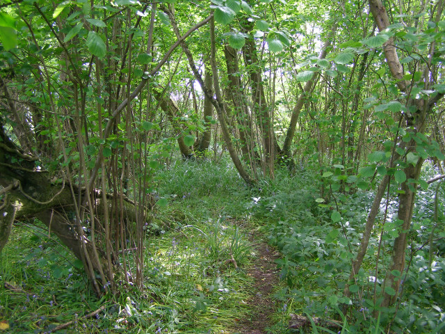
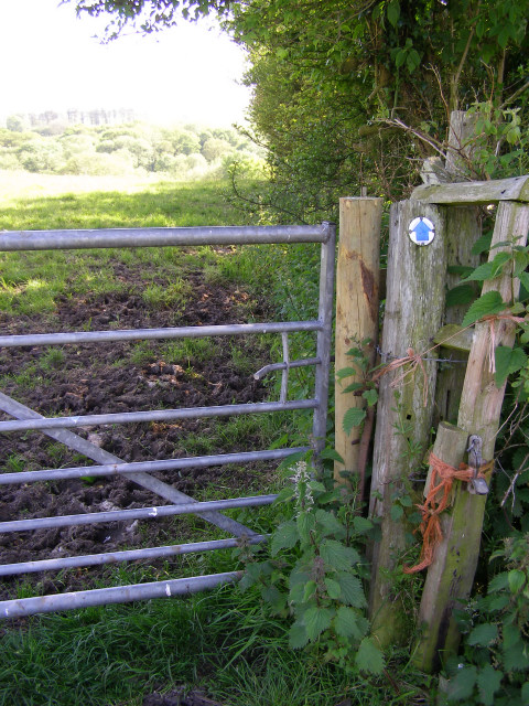
The local economy is predominantly agricultural, with farming and livestock rearing being the primary industries. The village is known for its scenic walks and is popular with tourists and outdoor enthusiasts who come to explore the surrounding countryside.
Long Bredy also benefits from a vibrant community spirit, with various social and recreational activities taking place throughout the year. The village has a local pub, The Crown Inn, which serves as a hub for residents and visitors alike.
Overall, Long Bredy offers a peaceful and idyllic setting, with its charming rural landscape and strong sense of community making it an attractive place to live or visit.
If you have any feedback on the listing, please let us know in the comments section below.
Long Bredy Images
Images are sourced within 2km of 50.704496/-2.621213 or Grid Reference SY5689. Thanks to Geograph Open Source API. All images are credited.


Long Bredy is located at Grid Ref: SY5689 (Lat: 50.704496, Lng: -2.621213)
Administrative County: Dorset
District: West Dorset
Police Authority: Dorset
What 3 Words
///spenders.crowds.minus. Near Maiden Newton, Dorset
Nearby Locations
Related Wikis

Long Bredy
Long Bredy is a village and civil parish in the county of Dorset in south-west England, situated approximately 7 miles (11 km) west of the county town...

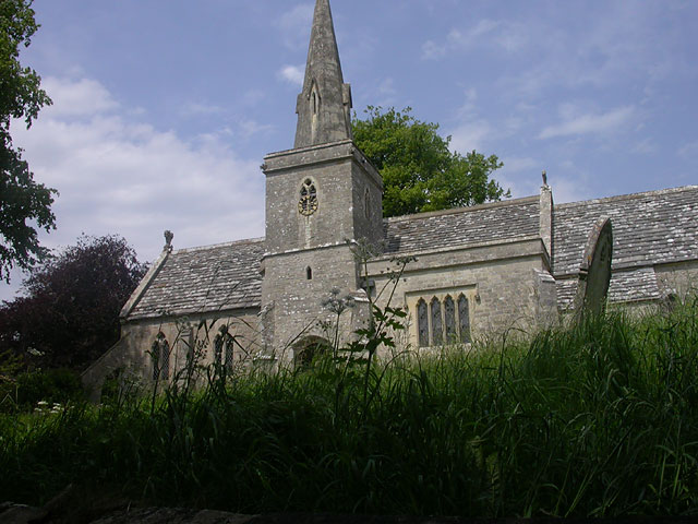
Kingston Russell House
Kingston Russell House is a large mansion house and manor near Long Bredy in Dorset, England, west of Dorchester. The present house dates from the late...
Litton Cheney
Litton Cheney is a village and civil parish in the county of Dorset in south-west England. It lies 9 miles (14 km) west of the county town Dorchester....

Pitcombe Down
Pitcombe Down (grid reference SY585897) is a 13.2 hectare biological Site of Special Scientific Interest in Dorset, notified in 1954. == Sources == English...

Kingston Russell Stone Circle
Kingston Russell Stone Circle, also known as the Gorwell Circle, is a stone circle located between the villages of Abbotsbury and Littlebredy in the south...

St Michael and All Angels Church, Littlebredy
St Michael and All Angels Church is a Grade II listed Anglican church in the village of Littlebredy, Dorset, England. == History == The tower dates from...
Kingston Russell
Kingston Russell is a settlement and civil parish 7 miles (11 km) west of Dorchester, in the Dorset district, in the county of Dorset, England. In 2001...
Littlebredy
Littlebredy (also written Little Bredy, pronounced ) is a small village and civil parish in the English county of Dorset, situated approximately 6.5 miles...
Nearby Amenities
Located within 500m of 50.704496,-2.621213Have you been to Long Bredy?
Leave your review of Long Bredy below (or comments, questions and feedback).