Ash Bed
Wood, Forest in Dorset
England
Ash Bed
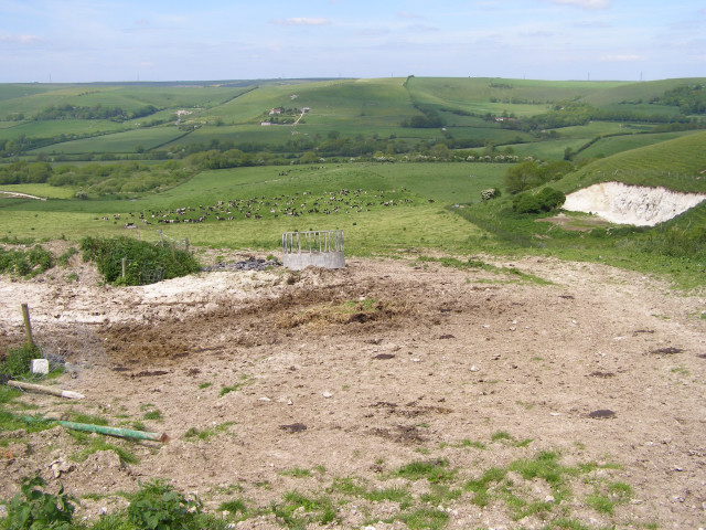
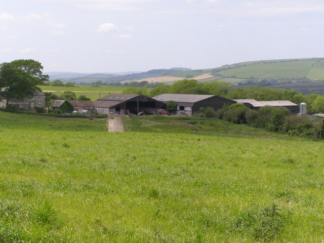
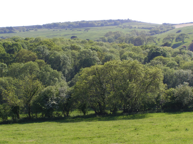
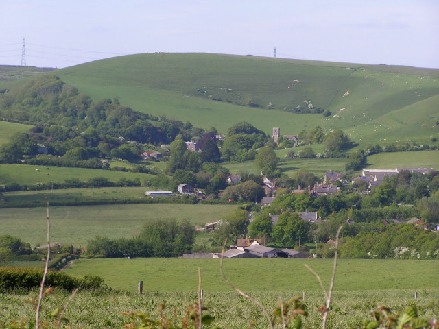
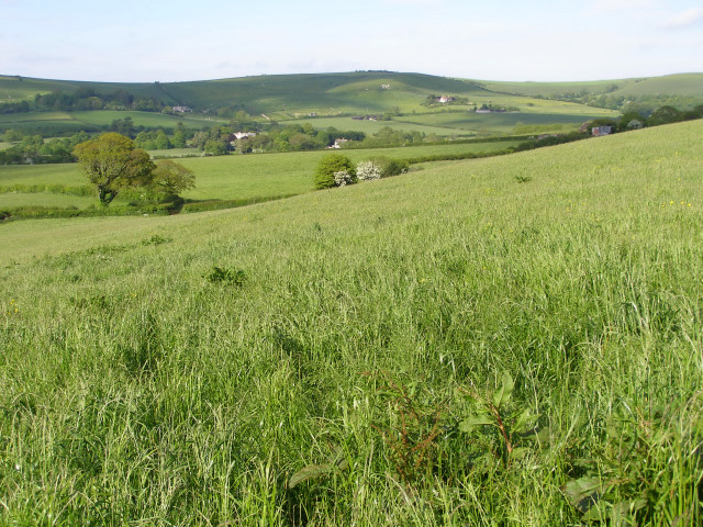
Ash Bed is a well-known wood located in Dorset, England. It is a part of the larger Dorset Forest, which covers a vast area of approximately 42,000 hectares. The wood is situated in the eastern region of the county, near the village of Ashmore.
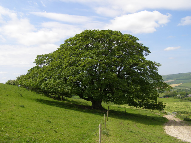
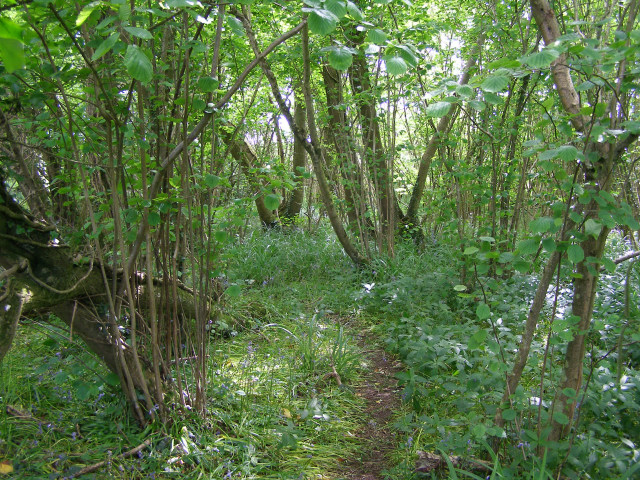
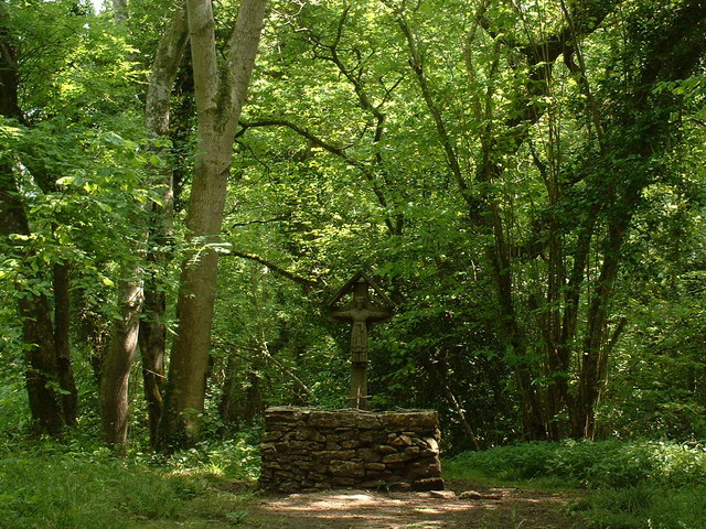
Ash Bed is renowned for its picturesque beauty and diverse range of flora and fauna. The wood is predominantly composed of ash trees, hence the name, but it also features a mix of other tree species such as oak, birch, and hazel. This variety of trees creates a rich and vibrant canopy that offers a haven for numerous bird species, including woodpeckers, thrushes, and nuthatches.
The forest floor of Ash Bed is covered with a thick layer of leaf litter, providing a fertile ground for a plethora of plant species to thrive. Bluebells, primroses, and wild garlic are just a few examples of the colorful blooms that can be found in the wood during the spring months.
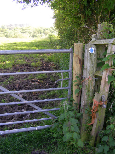
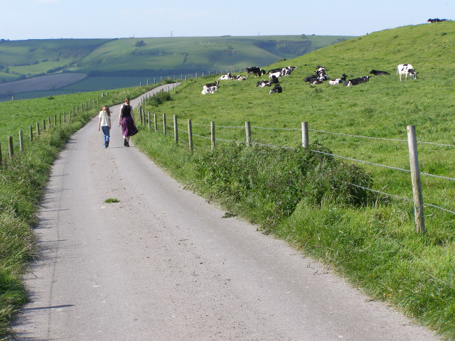
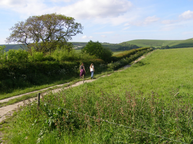
Ash Bed is a popular destination for nature enthusiasts and walkers alike. Several well-marked trails wind through the wood, allowing visitors to explore its natural wonders at their own pace. The wood also offers opportunities for wildlife spotting, with deer, rabbits, and squirrels commonly seen in the area.
Overall, Ash Bed in Dorset is a captivating woodland that showcases the beauty of nature in its purest form. Its tranquil atmosphere, diverse array of plants and wildlife, and accessibility make it a must-visit destination for anyone seeking a peaceful retreat or an opportunity to reconnect with the natural world.
If you have any feedback on the listing, please let us know in the comments section below.
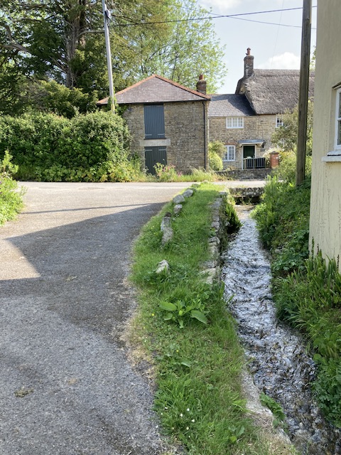
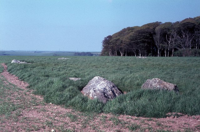
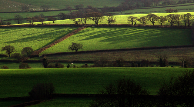
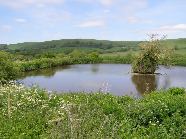
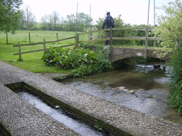
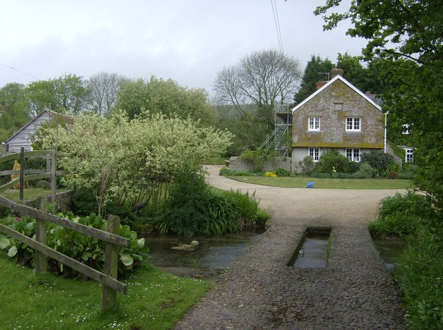
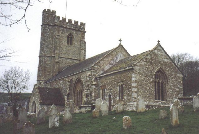
Ash Bed Images
Images are sourced within 2km of 50.699997/-2.6203695 or Grid Reference SY5689. Thanks to Geograph Open Source API. All images are credited.
Ash Bed is located at Grid Ref: SY5689 (Lat: 50.699997, Lng: -2.6203695)
Unitary Authority: Dorset
Police Authority: Dorset
What 3 Words
///wallet.obey.basically. Near Maiden Newton, Dorset
Nearby Locations
Related Wikis

Kingston Russell House
Kingston Russell House is a large mansion house and manor near Long Bredy in Dorset, England, west of Dorchester. The present house dates from the late...

Long Bredy
Long Bredy is a village and civil parish in the county of Dorset in south-west England, situated approximately 7 miles (11 km) west of the county town...
Litton Cheney
Litton Cheney is a village and civil parish in the county of Dorset in south-west England. It lies 9 miles (14 km) west of the county town Dorchester....

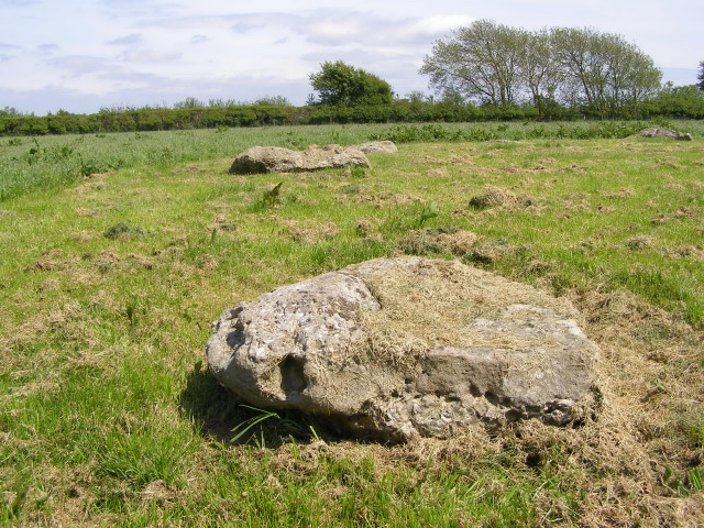
Kingston Russell Stone Circle
Kingston Russell Stone Circle, also known as the Gorwell Circle, is a stone circle located between the villages of Abbotsbury and Littlebredy in the south...
Nearby Amenities
Located within 500m of 50.699997,-2.6203695Have you been to Ash Bed?
Leave your review of Ash Bed below (or comments, questions and feedback).