Long Bennington

Civil Parish in Lincolnshire South Kesteven

England

Long Bennington

Elm Close, Long Bennington At the junction of Great North Road
Elm Close, Long Bennington Credit: David Howard

Long Bennington is a civil parish located in the county of Lincolnshire, England. Situated approximately 9 miles south of the town of Newark-on-Trent and 10 miles north of Grantham, Long Bennington is a small village with a population of around 1,500 residents.

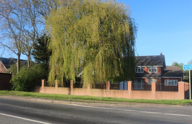
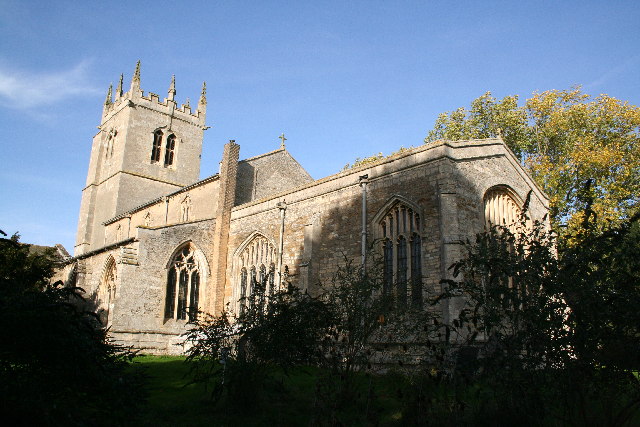
The village is known for its rich history, dating back to the Roman period. The Roman road, Ermine Street, runs through Long Bennington, highlighting its significance as an ancient settlement. Today, the village maintains a charming blend of old and new, with a mix of historic buildings and modern amenities.

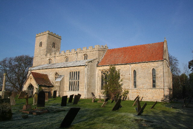
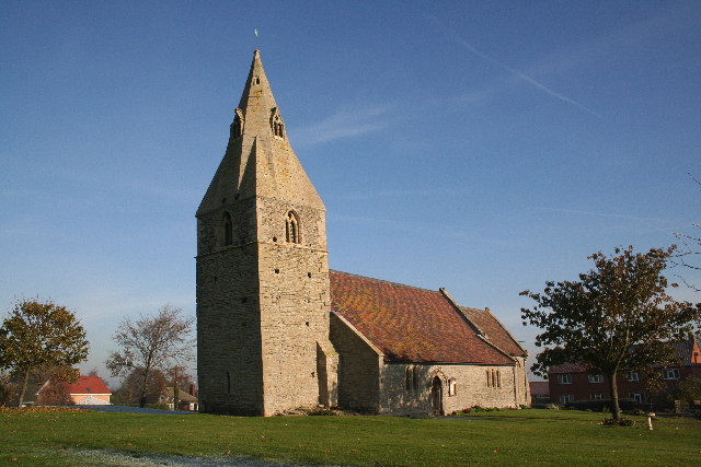
Long Bennington offers a range of amenities for its residents, including a primary school, several churches, a village hall, and a community center. The village is also home to a few local shops, a post office, and a pub, providing essential services to the community.

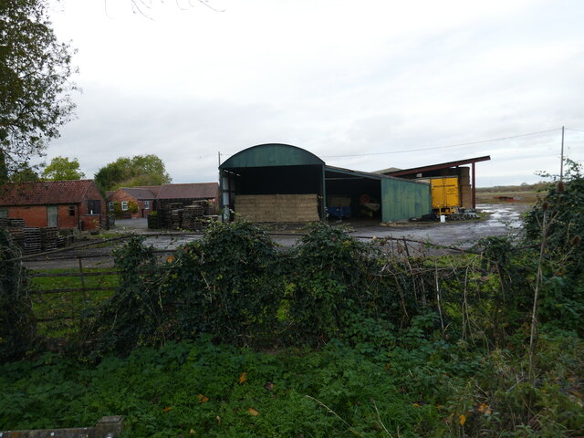
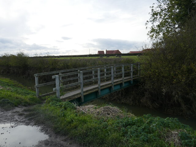
The surrounding countryside offers beautiful views and ample opportunities for outdoor activities. The nearby River Witham and Grantham Canal provide picturesque spots for fishing and leisurely walks. Additionally, Long Bennington is well-connected to the rest of Lincolnshire, making it an ideal base for exploring the wider region.

Overall, Long Bennington is a peaceful and picturesque village with a rich history and a strong sense of community. It offers a range of amenities and easy access to the surrounding countryside, making it an attractive place to live for both families and individuals seeking a tranquil setting.

If you have any feedback on the listing, please let us know in the comments section below.

Long Bennington Images

Images are sourced within 2km of 52.99091/-0.768866 or Grid Reference SK8244. Thanks to Geograph Open Source API. All images are credited.

Elm Close, Long Bennington At the junction of Great North Road
Elm Close, Long Bennington
At the junction of Great North Road
Acklands Lane at the junction of Great North Road Great North Road pops up along the length of the A1 and old A1, and the first is in East Finchley on the now A1000.
Acklands Lane at the junction of Great North Road
Great North Road pops up along the length of the A1 and old A1, and the first is in East Finchley on the now A1000.
Willow tree on Main Road, Long Bennington
Main Road, Long Bennington
Bennington Lane, Long Bennington
The entrance to Long Bennington sewage works There's no sign there but you can follow your nose.
The entrance to Long Bennington sewage works
There's no sign there but you can follow your nose.
Slip road from the A1 to Long Bennington
46 Church Street, Long Bennington Seventeenth century cottage <span class="nowrap"><a title="https://historicengland.org.uk/listing/the-list/list-entry/1360068?section=official-list-entry" rel="nofollow ugc noopener" href="https://historicengland.org.uk/listing/the-list/list-entry/1360068?section=official-list-entry">Link</a><img style="margin-left:2px;" alt="External link" title="External link - shift click to open in new window" src="https://s1.geograph.org.uk/img/external.png" width="10" height="10"/></span>
46 Church Street, Long Bennington
Seventeenth century cottage LinkExternal link
Cottage, Church Street, Long Bennington
33 Church Street, Long Bennington
Entrance to St Swithun's church, Long Bennington
St Swithun's church, Long Bennington Externally largely of the fifteenth century <span class="nowrap"><a title="https://historicengland.org.uk/listing/the-list/list-entry/1062891?section=official-list-entry" rel="nofollow ugc noopener" href="https://historicengland.org.uk/listing/the-list/list-entry/1062891?section=official-list-entry">Link</a><img style="margin-left:2px;" alt="External link" title="External link - shift click to open in new window" src="https://s1.geograph.org.uk/img/external.png" width="10" height="10"/></span>
St Swithun's church, Long Bennington
Externally largely of the fifteenth century LinkExternal link
Buildings at Priory Farm, Long Bennington
Footpath towards Foston
Footbridge over Ease Drain
Footpath towards Foston
St.Swithun's church, Long Bennington, Lincs. Curiously isolated from most of Long Bennington, a handsome amalgam of Norman and Perpendicular.
St.Swithun's church, Long Bennington, Lincs.
Curiously isolated from most of Long Bennington, a handsome amalgam of Norman and Perpendicular.
Long Bennington One of the three public houses that line the main street in Long Bennington.
Long Bennington
One of the three public houses that line the main street in Long Bennington.
Show me another place!

Long Bennington is located at Grid Ref: SK8244 (Lat: 52.99091, Lng: -0.768866)

Administrative County: Lincolnshire

District: South Kesteven

Police Authority: Lincolnshire

What 3 Words

///kebab.decorated.seats. Near Long Bennington, Lincolnshire

Nearby Locations

Long Bennington

Related Wikis

Long Bennington

Long Bennington is a linear village and civil parish in South Kesteven district of Lincolnshire, England, just off the A1 road, 7 miles (11 km) north of...

Long Bennington Priory

Long Bennington Priory was a priory in Lincolnshire, England. The church at Long Bennington was granted by Ralf de Fougères, to the Cistercian abbey of...

East Midlands

The East Midlands is one of nine official regions of England at the first level of ITL for statistical purposes. It comprises the eastern half of the area...

Staunton, Nottinghamshire

Staunton (also known as Staunton-in-the-Vale) is a small village and civil parish in the Newark and Sherwood district of Nottinghamshire, England. It takes...

Westborough, Lincolnshire

Westborough is a village in the South Kesteven district of Lincolnshire, England. It is situated 1 mile (1.6 km) east from the A1 road and Long Bennington...

Kilvington

Kilvington is a hamlet and civil parish in Nottinghamshire, England, part of the Newark and Sherwood district. Dr Robert Thoroton in Antiquities of Nottinghamshire...
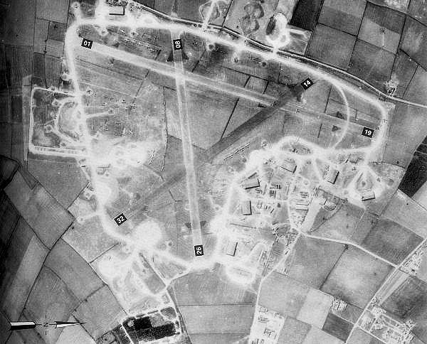
RAF Bottesford

Royal Air Force Bottesford or more simply RAF Bottesford is a former Royal Air Force station located on the Leicestershire-Lincolnshire county border,...

Dry Doddington

Dry Doddington is a small village in the north-west of the South Kesteven district of Lincolnshire, England within the civil parish of Westborough and...

Nearby Amenities

Located within 500m of 52.99091,-0.768866
Created By: Merkaartor 0.12
Lat/Long: 52.9924834/-0.7646816
LONGBENNINGTONG2
Disused: yes
Man Made: petroleum_well
Ref GB Decc: LO/02-3
Source: DECC
Lat/Long: 52.9925/-0.7679444
Created By: Merkaartor 0.12
Lat/Long: 52.9900099/-0.7667684
Created By: Merkaartor 0.12
Lat/Long: 52.9873781/-0.7682972
Parking
Description: Large patch of gravel
Ele: 24.3989258
Lat/Long: 52.9920088/-0.7653469
Design: barrel
Line Attachment: suspension
Material: steel
Power: tower
Structure: lattice
Lat/Long: 52.9930769/-0.7705172
Design: barrel
Line Attachment: suspension
Material: steel
Power: tower
Structure: lattice
Lat/Long: 52.9896382/-0.7714737
Parking
Access: yes
Ele: 19
Fee: no
Parking: layby
Lat/Long: 52.9912704/-0.7638886
Description: Mobile phone mast
Man Made: tower
Lat/Long: 52.9921008/-0.7647729
Ele: 16.0000000
Lat/Long: 52.9924972/-0.7633847
Ele: 19.0000000
Lat/Long: 52.9919999/-0.7634384
Parking
Access: yes
Description: Layby
Fee: no
Parking: street_side
Lat/Long: 52.9934398/-0.7639537
Barrier: block
Lat/Long: 52.9922849/-0.7648004
The data included in this document is from www.openstreetmap.org. The data is made available under ODbL.

Have you been to Long Bennington?

Leave your review of Long Bennington below (or comments, questions and feedback).