Broome
Settlement in Worcestershire Wyre Forest
England
Broome
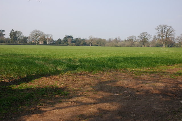
Broome is a small village located in the county of Worcestershire, England. Situated approximately 5 miles southeast of the historic town of Kidderminster, Broome is nestled in a picturesque rural setting, surrounded by rolling green fields and charming countryside.
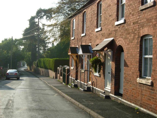
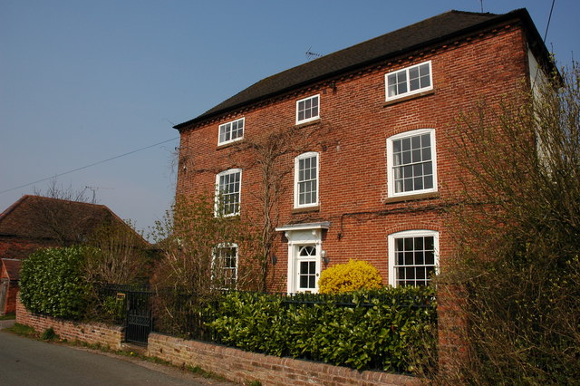
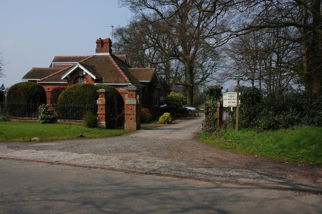
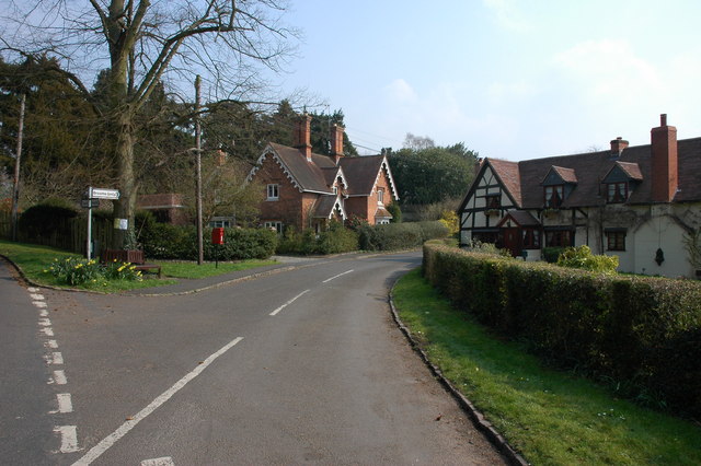
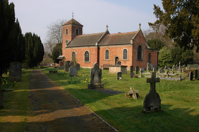
The village itself is characterized by its quaint and idyllic atmosphere, with a population of around 300 residents. Broome boasts a range of traditional, well-preserved cottages and houses, some of which date back to the 17th century, adding to its charm and historical appeal.
Despite its small size, Broome offers a few amenities to its residents and visitors. There is a community hall that serves as a hub for various social events and gatherings, providing a space for locals to come together and engage in activities. Additionally, the village has a small local pub, known for its warm and friendly atmosphere, where residents and visitors can enjoy a drink or a meal.
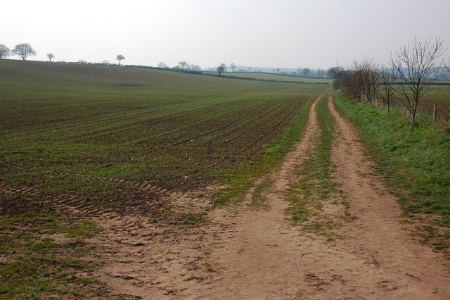
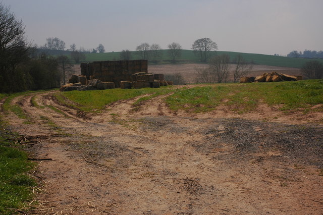
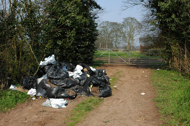
The surrounding area of Broome offers ample opportunities for outdoor activities and exploration. The nearby countryside provides numerous scenic walking and cycling routes, allowing visitors to immerse themselves in the natural beauty of Worcestershire. Furthermore, the village is close to the popular Wyre Forest, a vast woodland area that offers a range of recreational activities, including hiking, wildlife spotting, and picnicking.
Overall, Broome is a tranquil and charming village, perfect for those seeking a peaceful retreat in the heart of Worcestershire's countryside.
If you have any feedback on the listing, please let us know in the comments section below.
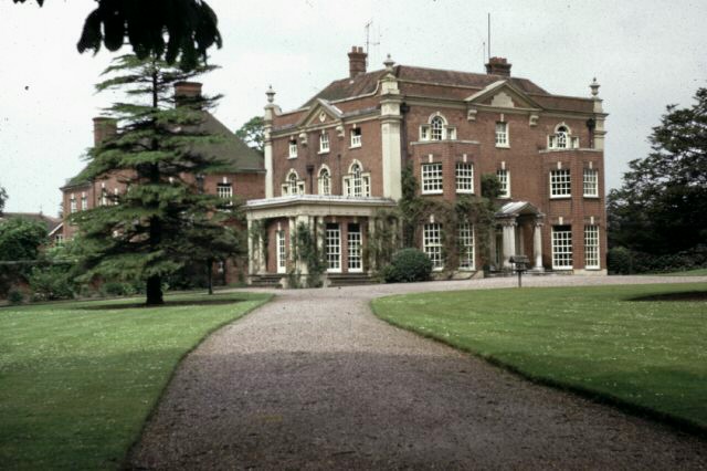
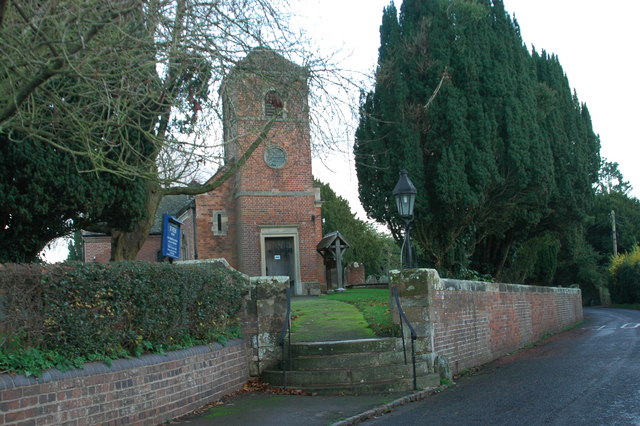
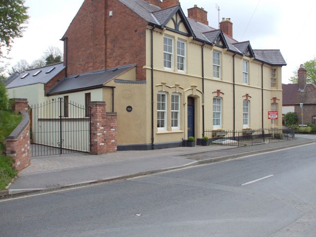
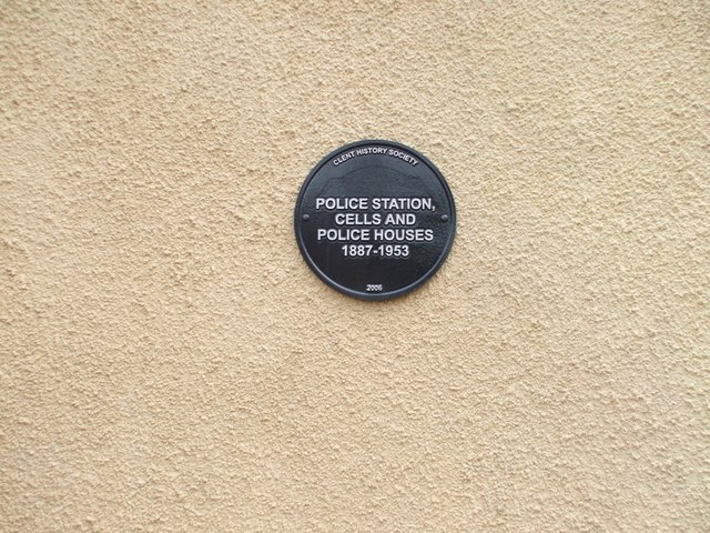
Broome Images
Images are sourced within 2km of 52.406002/-2.1448778 or Grid Reference SO9078. Thanks to Geograph Open Source API. All images are credited.
Broome is located at Grid Ref: SO9078 (Lat: 52.406002, Lng: -2.1448778)
Administrative County: Worcestershire
District: Wyre Forest
Police Authority: West Mercia
What 3 Words
///observers.nearing.zoned. Near Belbroughton, Worcestershire
Related Wikis

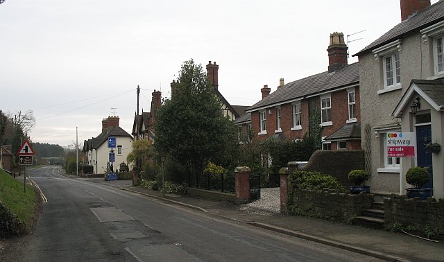
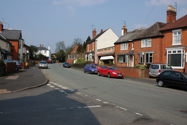
Broome, Worcestershire
Broome is a village and civil parish in the Wyre Forest District of Worcestershire, England. According to the 2001 census it had a population of 338. The...

Hackmans Gate
Hackmans Gate is a hamlet in the parish of Broome, and the district of Wyre Forest District of Worcestershire, England.

King's Norton and Northfield Urban District
King's Norton and Northfield Urban District was a local government administrative district in north Worcestershire, England, from 1898 until 1911. Much...
Hagley railway station
Hagley railway station serves the English village of Hagley, Worcestershire. Trains call in each direction, running to or through Kidderminster westwards...
Hagley Roman Catholic High School
Hagley Catholic High School is a coeducational school for ages 11–18 situated in the village of Hagley, Worcestershire, England. Currently a member of...
Haybridge High School
Haybridge High School and Sixth Form is an 11–18 mixed academy school with approximately 1,250 students (420 in the sixth form) in Hagley, Stourbridge...
Holy Cross, Worcestershire
Holy Cross is one of five hamlets in village of Clent in the county of Worcestershire, England. The hamlet consists of housing apart from the Bell and...
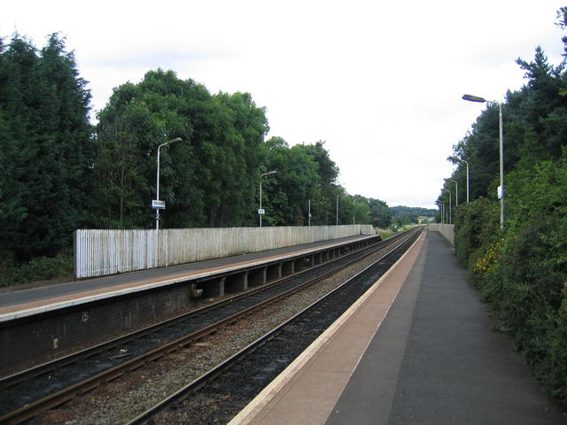
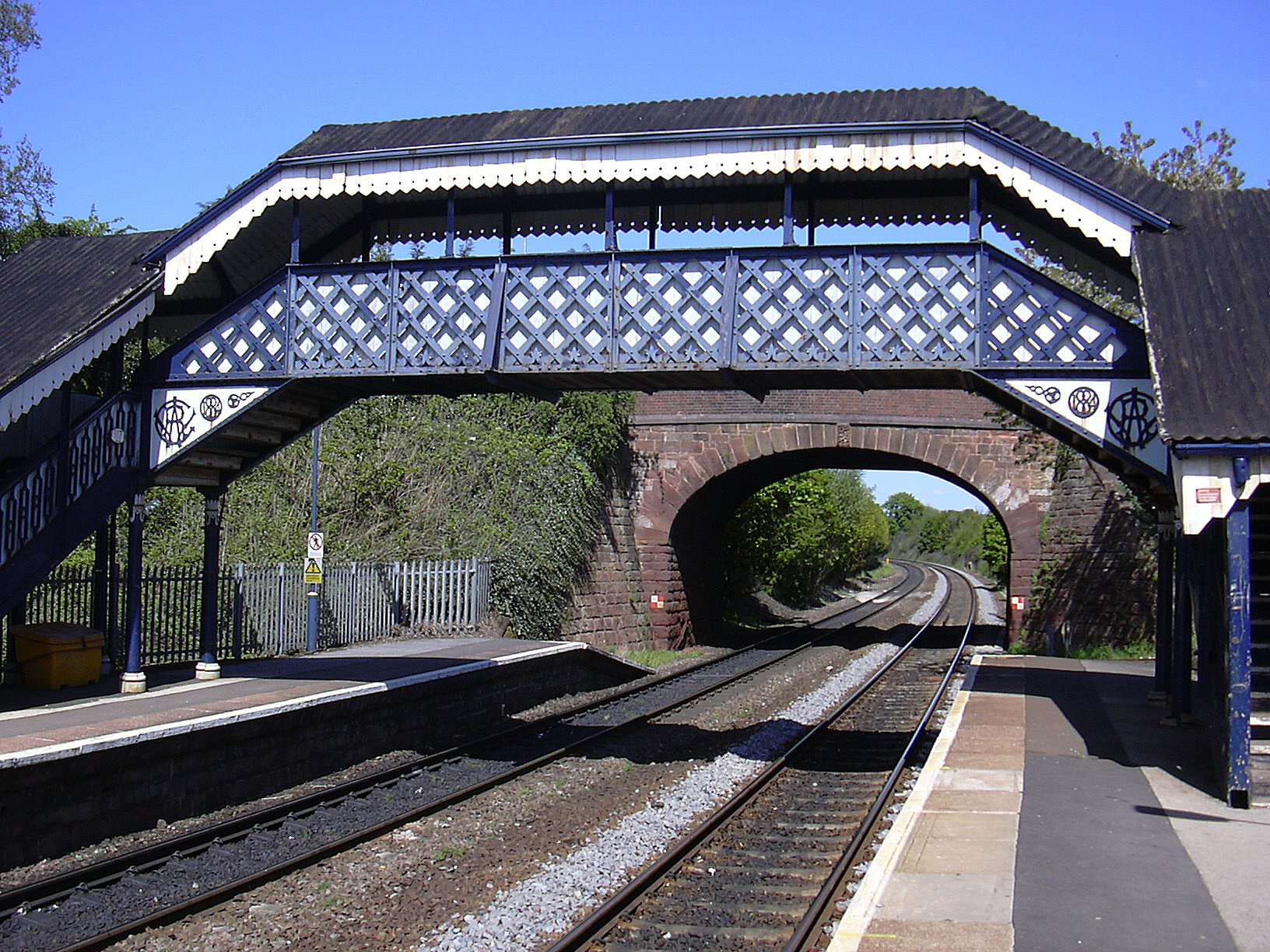
Blakedown railway station
Blakedown railway station serves the English village of Blakedown, Worcestershire. It was opened as Churchill in 1852, later becoming known for a time...
Related Videos
Secrets of Cut Throat Lane Blakedown United Kingdom
I take you through the famous Cut Throat Lane in Blakedown, United Kingdom to experience the country side at its best. The lane ...

How To Foam Roll Your Hips
How to foam roll your hips to help alleviate knee pain.
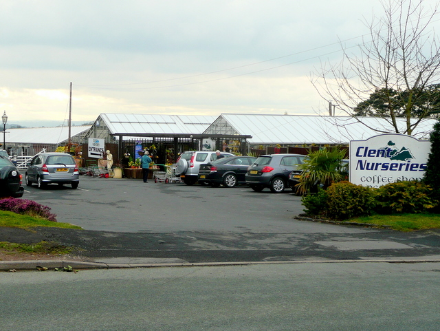
![CHERRY LANE GARDEN CENTRE [USED TO BE BARNETT HILL] ( PART1)](https://i.ytimg.com/vi/15FtzOl3lpk/hqdefault.jpg)
CHERRY LANE GARDEN CENTRE [USED TO BE BARNETT HILL] ( PART1)
A visit to Cherry Lane Garden Centre, Formally known as Barnett Hill. This place was massive, so much stuff really is a great place ...
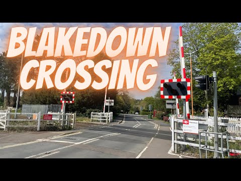
Blakedown Station Level Crossing (26/04/22)
Blakedown #Stations #LevelCrossing Blakedown Station Level Crossing (26/04/22) In Today's video I film at blakedown level ...
Nearby Amenities
Located within 500m of 52.406002,-2.1448778Have you been to Broome?
Leave your review of Broome below (or comments, questions and feedback).