Broome

Settlement in Shropshire

England

Broome

Footpath at the edge of Birch Coppice
Footpath at the edge of Birch Coppice Credit: Row17

Broome is a small village located in the county of Shropshire, England. Situated approximately 10 miles west of the county town of Shrewsbury, Broome is nestled in the rolling countryside of the picturesque Shropshire Hills. It falls under the jurisdiction of the Shropshire Council.

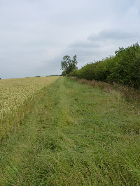
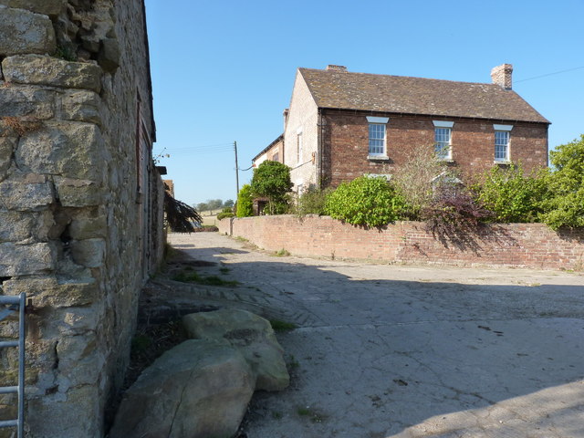
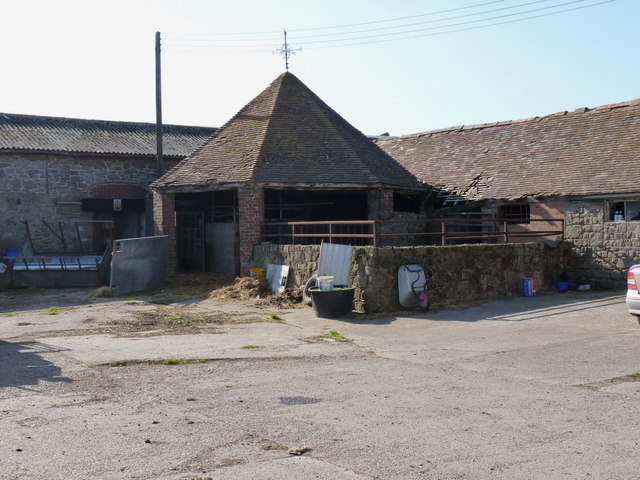
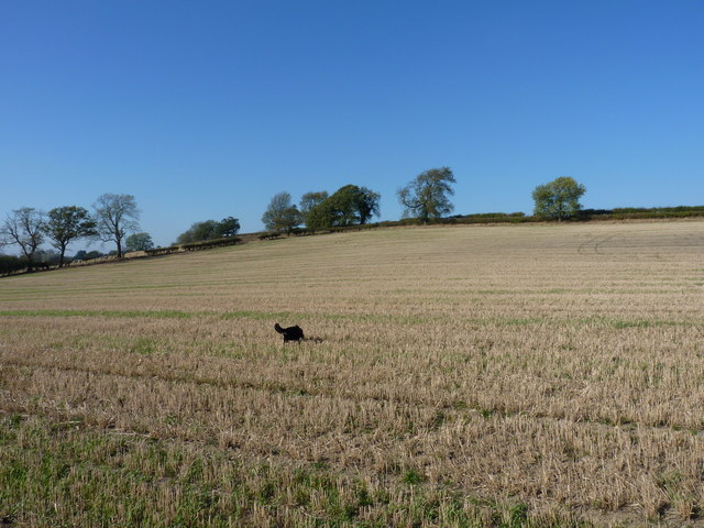
The village of Broome has a tranquil and rural atmosphere, boasting a population of around 300 residents. It is primarily a residential area, with a scattering of traditional houses and cottages that exude charm and character. The village is surrounded by sprawling farmland and meadows, offering stunning views of the countryside.

Despite its small size, Broome has a strong sense of community, with several community initiatives and events taking place throughout the year. The village also benefits from a local church, St. Michael and All Angels, which serves as a focal point for residents.

While Broome itself may not offer an extensive range of amenities, it benefits from its close proximity to Shrewsbury, which provides a wider array of services including shops, schools, healthcare facilities, and recreational opportunities. The village is well-connected to the surrounding areas by road, with easy access to major transport links.

For those seeking a peaceful and idyllic rural lifestyle, Broome offers a charming and secluded haven in the heart of the Shropshire countryside. Its natural beauty and sense of community make it an attractive place to call home for residents seeking a slower pace of life and a close connection with nature.

If you have any feedback on the listing, please let us know in the comments section below.
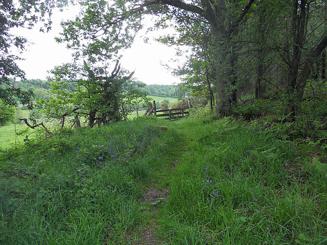
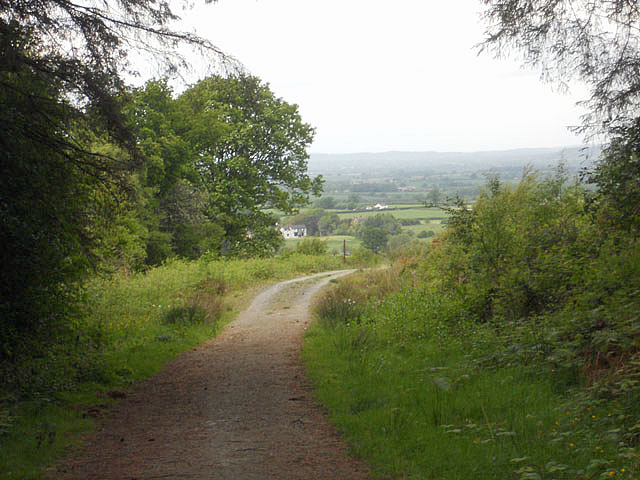
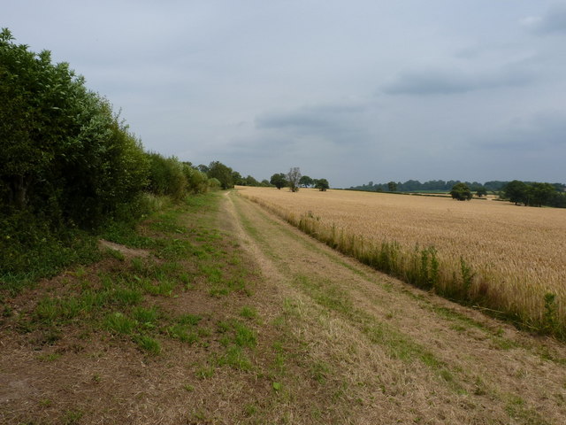
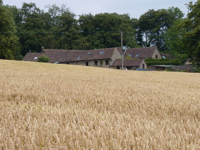
Broome Images

Images are sourced within 2km of 52.579683/-2.7016792 or Grid Reference SO5298. Thanks to Geograph Open Source API. All images are credited.

Footpath at the edge of Birch Coppice
Bridleway on Lodge Hill
Between Plaish Cottage and Plaish Park Footpath on a field edge between the two settlements.
Between Plaish Cottage and Plaish Park
Footpath on a field edge between the two settlements.
Plaish Park farm from the west
Footpath from Plaish Park A fieldside path to the west of Plaish Park farm
Footpath from Plaish Park
A fieldside path to the west of Plaish Park farm
Fields south of Church Preen
Slightly off the path To avoid dense undergrowth in the valley to the south, the dog & I sneaked into this grazed field near High Fields farm, coming out on the lane that leads to the farm from Church Preen. The field contained a small herd of inquisitive cattle.
Slightly off the path
To avoid dense undergrowth in the valley to the south, the dog & I sneaked into this grazed field near High Fields farm, coming out on the lane that leads to the farm from Church Preen. The field contained a small herd of inquisitive cattle.
Duck pond at High Fields farm
High Fields farmhouse From the footpath that runs through the farmyard.
High Fields farmhouse
From the footpath that runs through the farmyard.
Dingle Cottage at Preen Originally part of Manor Farm, this former barn appears to have been converted into a very nice property.
Dingle Cottage at Preen
Originally part of Manor Farm, this former barn appears to have been converted into a very nice property.
Horse Mill (Horse Engine House) at High Fields Farm The octagonal structure in the farmyard appears to be a horse mill (sometimes known as a 'gin gang' in the north of the UK) which would have been connected to a small threshing machine in the adjacent barn, and which was powered by a horse walking around in a circle inside the mill. This was necessary where there was no reliable source of water for power, but they were duly superseded by the coming of the steam powered engines. Commonly constructed in the late 18th to early 19th centuries, many have now been demolished, and there are few examples in the middle part of the country.
<span class="nowrap"><a title="http://en.wikipedia.org/wiki/Gin_gang" rel="nofollow ugc noopener" href="http://en.wikipedia.org/wiki/Gin_gang">Link</a><img style="margin-left:2px;" alt="External link" title="External link - shift click to open in new window" src="https://s1.geograph.org.uk/img/external.png" width="10" height="10"/></span>
Horse Mill (Horse Engine House) at High Fields Farm
The octagonal structure in the farmyard appears to be a horse mill (sometimes known as a 'gin gang' in the north of the UK) which would have been connected to a small threshing machine in the adjacent barn, and which was powered by a horse walking around in a circle inside the mill. This was necessary where there was no reliable source of water for power, but they were duly superseded by the coming of the steam powered engines. Commonly constructed in the late 18th to early 19th centuries, many have now been demolished, and there are few examples in the middle part of the country. LinkExternal link
Footpath through a stubble field
Water storage tanks at Broome Severn Trent's Broome reservoir - two large storage tanks on the hill.
Water storage tanks at Broome
Severn Trent's Broome reservoir - two large storage tanks on the hill.
The lane into Broome A bright and sunny autumn afternoon on the ridge-top lane into Broome from Church Preen.
The lane into Broome
A bright and sunny autumn afternoon on the ridge-top lane into Broome from Church Preen.
Broome Farm - one of the cottages From the footpath that runs through the farm bounds (and which was re-routed in about 1999)
Broome Farm - one of the cottages
From the footpath that runs through the farm bounds (and which was re-routed in about 1999)
Up the footpath towards Broome Farm The hedge on the right has recently been laid, traditional style. It's good to see this happening out in the fields, where the mechanised flail is so commonly the cause of 'toothbrush-hedge'.
Up the footpath towards Broome Farm
The hedge on the right has recently been laid, traditional style. It's good to see this happening out in the fields, where the mechanised flail is so commonly the cause of 'toothbrush-hedge'.
New (but shallow) pool in the fields south of Broome Farm The pool has recently been created; it's fairly shallow and certainly doesn't feature on any map that I can find.
New (but shallow) pool in the fields south of Broome Farm
The pool has recently been created; it's fairly shallow and certainly doesn't feature on any map that I can find.
Friesians guarding the path to Bowman Hill Farm Not the most ferocious of animals...generally they're mostly prone to lying down and watching you walk past.
Friesians guarding the path to Bowman Hill Farm
Not the most ferocious of animals...generally they're mostly prone to lying down and watching you walk past.
Show me another place!

Broome is located at Grid Ref: SO5298 (Lat: 52.579683, Lng: -2.7016792)

Unitary Authority: Shropshire

Police Authority: West Mercia

What 3 Words

///mulls.steam.reverses. Near Longnor, Shropshire

Nearby Locations

Causewaywood Broome

Related Wikis

Church Preen

Church Preen is a dispersed hamlet and small civil parish in central Shropshire, England. The county town of Shropshire is Shrewsbury, which is located...

Plaish Hall

Plaish Hall is a country house in Plaish, in the civil parish of Cardington, in the Shropshire district, in the ceremonial county of Shropshire, England...

Ruckley and Langley

Ruckley and Langley is a civil parish in Shropshire, England. It is centred on the hamlets of Ruckley and Langley. The population at the 2011 census can...

Langley Chapel

Langley Chapel is an Anglican church, built in 1601, located in a remote area (the parish of Ruckley and Langley) approximately 1.5 miles to the south...

Nearby Amenities

Located within 500m of 52.579683,-2.7016792
Barrier: stile
Lat/Long: 52.582584/-2.6962628
Barrier: stile
Lat/Long: 52.5822152/-2.6975763
Barrier: stile
Lat/Long: 52.5817276/-2.6988873
Barrier: stile
Lat/Long: 52.5808503/-2.7007257
Barrier: stile
Lat/Long: 52.5799217/-2.7017516
Generator Method: photovoltaic
Generator Output Electricity: yes
Generator Source: solar
Generator Type: solar_photovoltaic_panel
Location: roof
Power: generator
Lat/Long: 52.5783483/-2.7023631
The data included in this document is from www.openstreetmap.org. The data is made available under ODbL.

Have you been to Broome?

Leave your review of Broome below (or comments, questions and feedback).