Little Cawthorpe

Civil Parish in Lincolnshire East Lindsey

England

Little Cawthorpe

Legbourne Priory site and ridge and furrow: aerial 2022 Founded as a Cistercian nunnery: <span class="nowrap"><a title="https://www.heritagegateway.org.uk/Gateway/Results_Single.aspx?uid=MLI43601&resourceID=1006" rel="nofollow ugc noopener" href="https://www.heritagegateway.org.uk/Gateway/Results_Single.aspx?uid=MLI43601&resourceID=1006">Link</a><img style="margin-left:2px;" alt="External link" title="External link - shift click to open in new window" src="https://s1.geograph.org.uk/img/external.png" width="10" height="10"/></span>

Ridge and furrow: see <span class="nowrap"><a title="https://www.heritagegateway.org.uk/Gateway/Results_Single.aspx?uid=05c5dd4d-ce79-4bc9-925a-6bd9a36feaed&resourceID=19191" rel="nofollow ugc noopener" href="https://www.heritagegateway.org.uk/Gateway/Results_Single.aspx?uid=05c5dd4d-ce79-4bc9-925a-6bd9a36feaed&resourceID=19191">Link</a><img style="margin-left:2px;" alt="External link" title="External link - shift click to open in new window" src="https://s1.geograph.org.uk/img/external.png" width="10" height="10"/></span>
Legbourne Priory site and ridge and furrow: aerial 2022 Credit: Simon Tomson

Little Cawthorpe is a civil parish located in the East Lindsey district of Lincolnshire, England. Situated about 5 miles east of Louth, the parish covers an area of approximately 3 square miles. It is a small rural community with a population of around 120 residents.

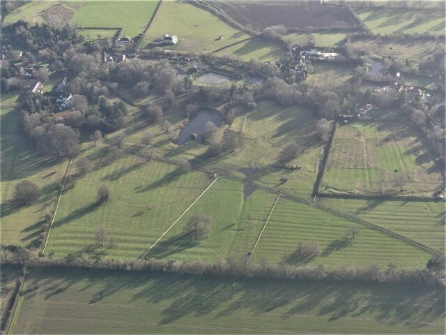
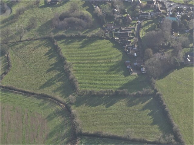
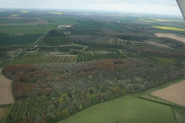
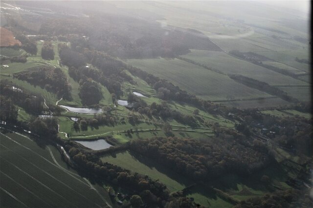
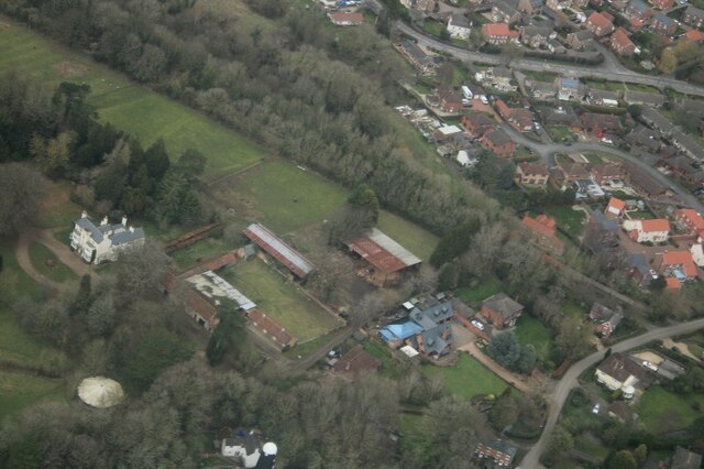
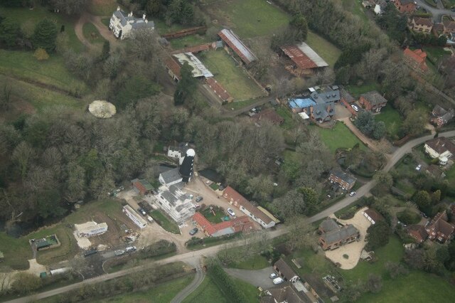
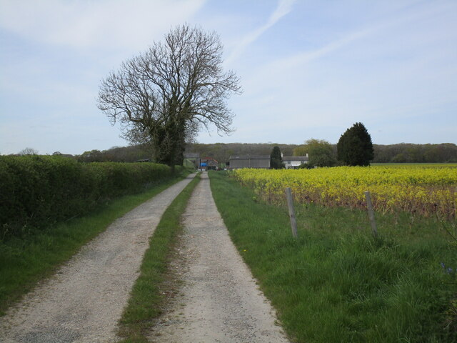
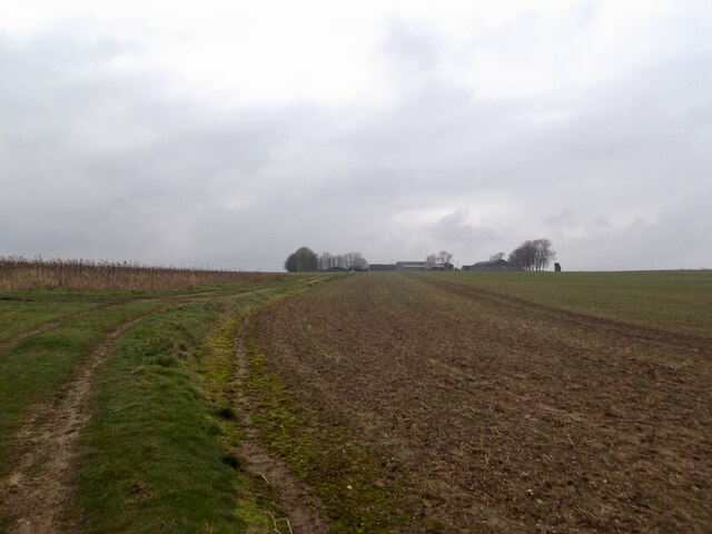
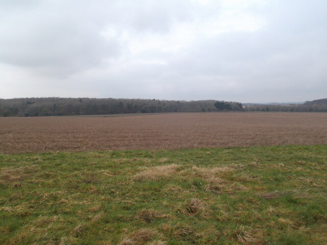
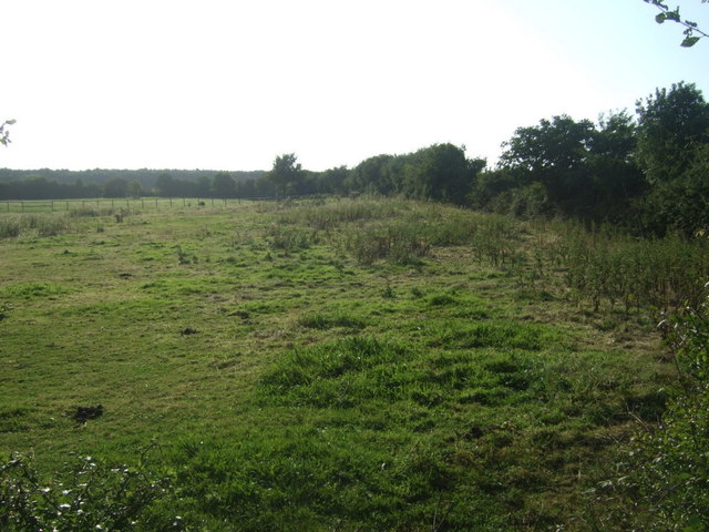
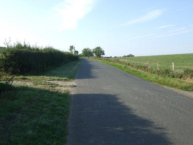
The village is characterized by its picturesque countryside setting, surrounded by rolling hills and farmland. The landscape is predominantly agricultural, and the area is known for its farming heritage. The parish is home to several farms, which contribute to the local economy and maintain the rural character of the region.

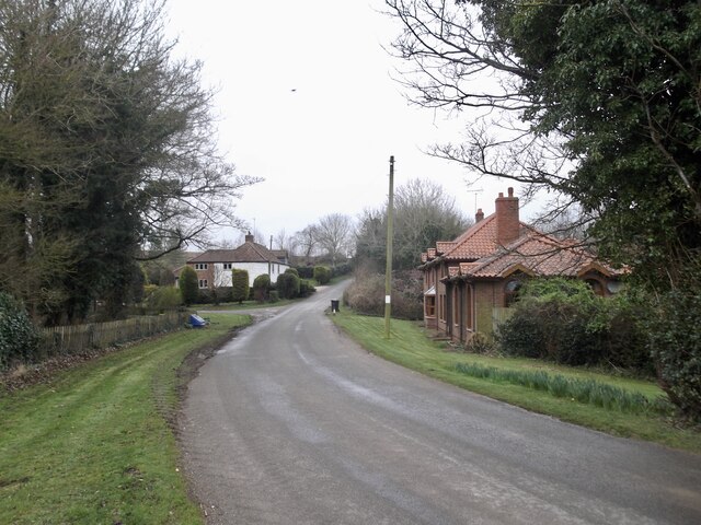
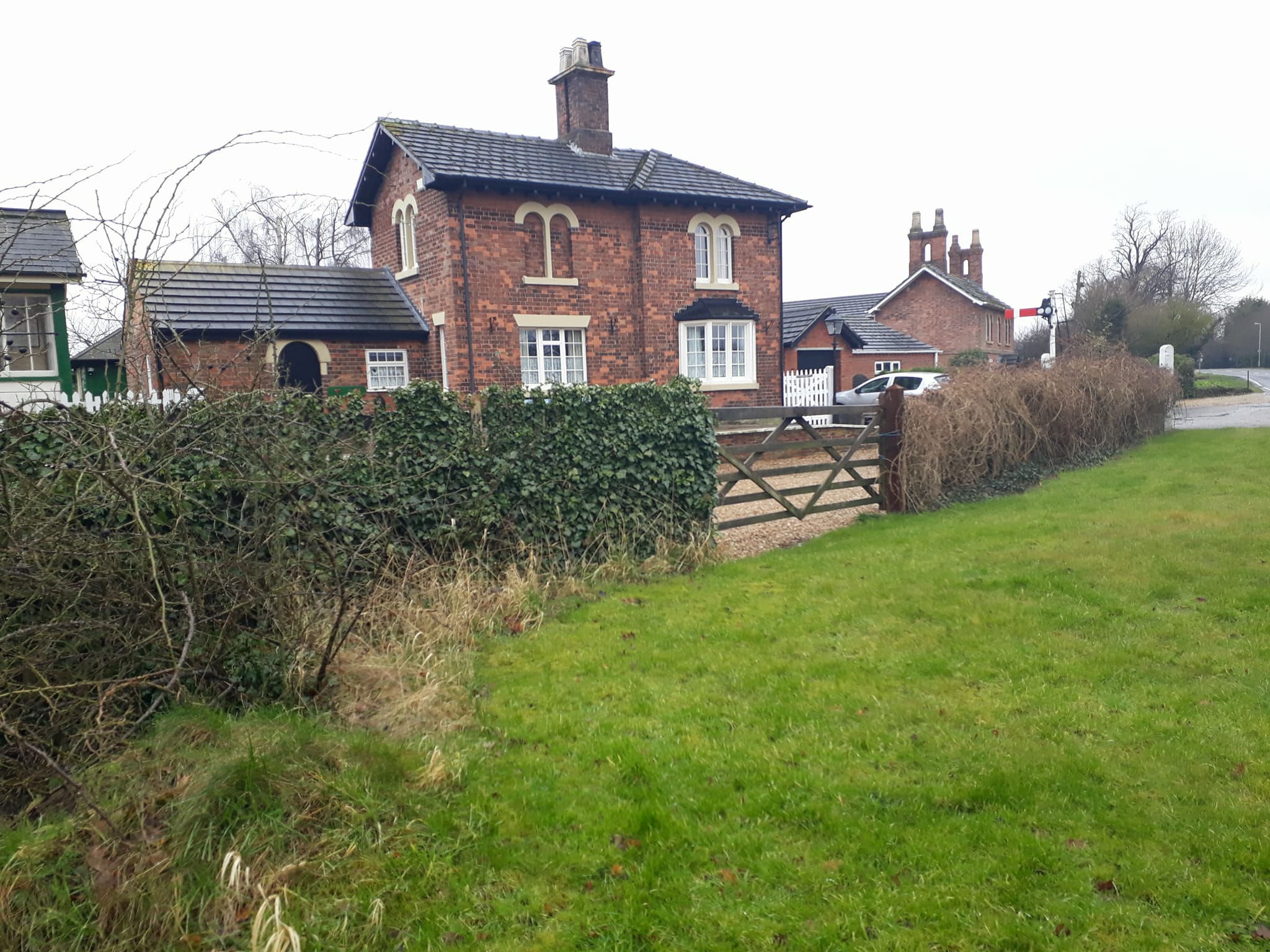
Little Cawthorpe itself is a charming hamlet, consisting of a cluster of houses and cottages. The architecture reflects the traditional style of the area, with many buildings dating back several centuries. The village is primarily residential, with a close-knit community that enjoys a peaceful and tranquil lifestyle.

Despite its small size, Little Cawthorpe has a strong sense of community spirit. Local events and gatherings are organized regularly, providing residents with opportunities to socialize and strengthen community bonds. The village also benefits from its proximity to nearby towns and amenities, with Louth offering a range of services including shops, schools, and healthcare facilities.

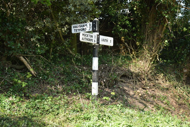
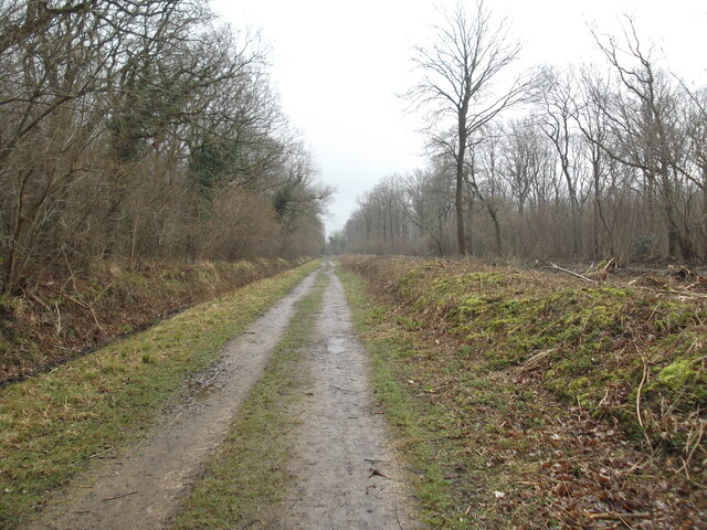
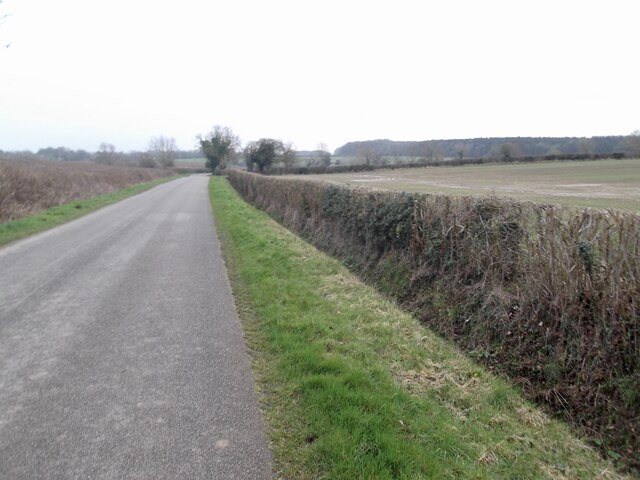
The natural beauty of the surrounding countryside makes Little Cawthorpe an attractive place for outdoor enthusiasts. The area is dotted with public footpaths and bridleways, providing opportunities for walking, cycling, and horse riding. The peaceful and scenic surroundings make it a popular destination for those seeking a rural retreat.

If you have any feedback on the listing, please let us know in the comments section below.

Little Cawthorpe Images

Images are sourced within 2km of 53.327858/0.037798 or Grid Reference TF3583. Thanks to Geograph Open Source API. All images are credited.

Legbourne Priory site and ridge and furrow: aerial 2022 Founded as a Cistercian nunnery: <span class="nowrap"><a title="https://www.heritagegateway.org.uk/Gateway/Results_Single.aspx?uid=MLI43601&resourceID=1006" rel="nofollow ugc noopener" href="https://www.heritagegateway.org.uk/Gateway/Results_Single.aspx?uid=MLI43601&resourceID=1006">Link</a><img style="margin-left:2px;" alt="External link" title="External link - shift click to open in new window" src="https://s1.geograph.org.uk/img/external.png" width="10" height="10"/></span>

Ridge and furrow: see <span class="nowrap"><a title="https://www.heritagegateway.org.uk/Gateway/Results_Single.aspx?uid=05c5dd4d-ce79-4bc9-925a-6bd9a36feaed&resourceID=19191" rel="nofollow ugc noopener" href="https://www.heritagegateway.org.uk/Gateway/Results_Single.aspx?uid=05c5dd4d-ce79-4bc9-925a-6bd9a36feaed&resourceID=19191">Link</a><img style="margin-left:2px;" alt="External link" title="External link - shift click to open in new window" src="https://s1.geograph.org.uk/img/external.png" width="10" height="10"/></span>
Legbourne Priory site and ridge and furrow: aerial 2022
Founded as a Cistercian nunnery: LinkExternal link Ridge and furrow: see LinkExternal link
Ridge and furrow at Legbourne: aerial 2022
Haugham Pasture and Maltby Wood: aerial 2022 Maltby Wood mainly in <a href="https://www.geograph.org.uk/gridref/TF3483">TF3483</a>.
Haugham Pasture and Maltby Wood: aerial 2022
Maltby Wood mainly in TF3483.
Haugham Wood and Muckton Bottom: aerial 2022
Church of All Saints
Former Legbourne Road Station Station House with some nice railway touches
Former Legbourne Road Station
Station House with some nice railway touches
Direction Sign – Signpost on Top Road, Little Cawthorpe Located on the west side of the junction of Top Road and Haugham Pastures in Little Cawthorpe parish. 3 arms but no finial. See also <a title="https://www.geograph.org.uk/photo/1033424" href="https://www.geograph.org.uk/photo/1033424">Link</a>.

Milestone Society National ID: LI_TF3583
Direction Sign – Signpost on Top Road, Little Cawthorpe
Located on the west side of the junction of Top Road and Haugham Pastures in Little Cawthorpe parish. 3 arms but no finial. See also Link. Milestone Society National ID: LI_TF3583
Kenwick Golf Course: aerial 2022
Legbourne and disused railway: aerial 2023
Legbourne windmill: aerial 2023
Track to Low Farm, Muckton
In Legbourne Wood
In Legbourne Wood
Track to Haugham Slates Farm
View across the fields towards Maltby Woods
Houses at Muckton Bottom
Road to Muckton
Road to Muckton
Grazing near Muckton
Minor road towards Little Cawthorpe Heading north west.
Minor road towards Little Cawthorpe
Heading north west.
Show me another place!

Little Cawthorpe is located at Grid Ref: TF3583 (Lat: 53.327858, Lng: 0.037798)

Administrative County: Lincolnshire

District: East Lindsey

Police Authority: Lincolnshire

What 3 Words

///request.crouches.swim. Near Burwell, Lincolnshire

Related Wikis

Little Cawthorpe

Little Cawthorpe is a village and civil parish in the East Lindsey district of Lincolnshire, England. It is situated about 1.5 miles (2.4 km) south-west...

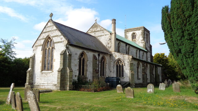
St Helen's Church, Little Cawthorpe

St Helen's Church is a redundant Anglican church in the village of Little Cawthorpe, Lincolnshire, England. It is recorded in the National Heritage List...

Legbourne Priory

Legbourne Priory was a priory in the village of Legbourne, Lincolnshire, England. Founded by Robert Fitz Gilbert around 1150, the priory was for the nuns...

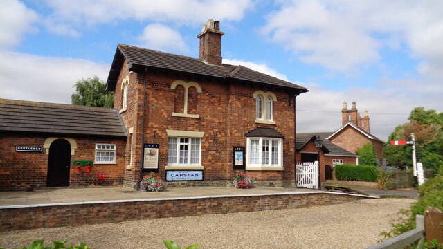
Legbourne Road railway station

Legbourne Road was a railway station on the East Lincolnshire Railway which served the village of Legbourne in Lincolnshire between 1848 and 1964. The...

Nearby Amenities

Located within 500m of 53.327858,0.037798
Fir Hill
Place: locality
Source: Bing
Lat/Long: 53.3239407/0.0407282
Hillside Farm
Place: farm
Source: Bing
Lat/Long: 53.3314658/0.0384816
Sea View Cottage
Place: isolated_dwelling
Source: Bing
Lat/Long: 53.3268685/0.042076
The data included in this document is from www.openstreetmap.org. The data is made available under ODbL.

Have you been to Little Cawthorpe?

Leave your review of Little Cawthorpe below (or comments, questions and feedback).