Little Cawthorpe

Settlement in Lincolnshire East Lindsey

England

Little Cawthorpe

Louth former tip and landfill site: aerial 2021
Louth former tip and landfill site: aerial 2021 Credit: Simon Tomson

Little Cawthorpe is a small village located in the East Lindsey district of Lincolnshire, England. Situated approximately 7 miles northeast of Louth, it is nestled in the picturesque Lincolnshire Wolds, an Area of Outstanding Natural Beauty. With a population of around 250 residents, Little Cawthorpe exudes a quaint and peaceful ambiance.

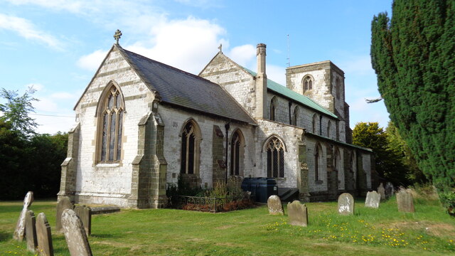
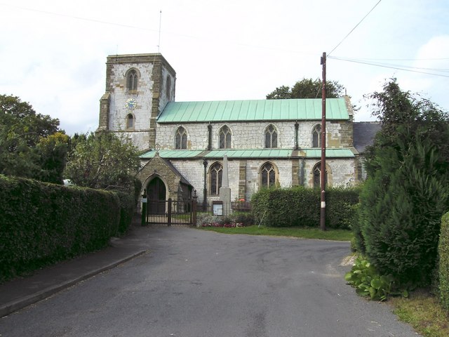
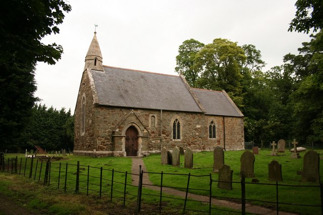
The village is characterized by its charming collection of traditional stone cottages, some of which date back to the 18th century. The local church, St. Helen's, is a notable feature, displaying stunning architectural elements and serving as a hub for the community. The surrounding countryside offers breathtaking views, with rolling hills and meandering streams providing a scenic backdrop for leisurely walks and outdoor activities.

While Little Cawthorpe is primarily a residential area, it benefits from its proximity to nearby towns and villages. Louth, the nearest town, provides a range of amenities including shops, supermarkets, schools, and healthcare facilities. The village is well-connected by road, with the A16 passing nearby, offering easy access to surrounding areas.

The community spirit in Little Cawthorpe is strong, with residents actively participating in local events and initiatives. The annual village fete, held in the summer, brings together locals and visitors for a day of entertainment and traditional festivities. Additionally, the village hall hosts various social gatherings, providing a space for residents to engage in activities such as art classes, yoga, and community meetings.

In conclusion, Little Cawthorpe is a delightful rural village that offers a tranquil and idyllic lifestyle. Its stunning natural surroundings and close-knit community make it an attractive place to reside for those seeking a peaceful retreat in the heart of the Lincolnshire countryside.

If you have any feedback on the listing, please let us know in the comments section below.

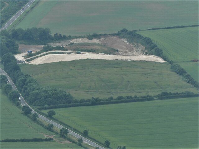
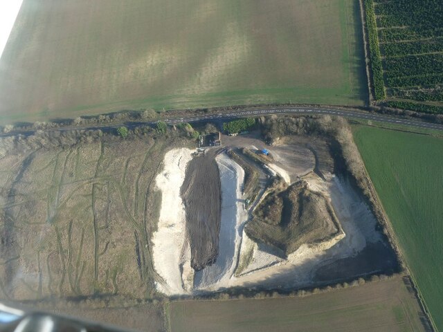
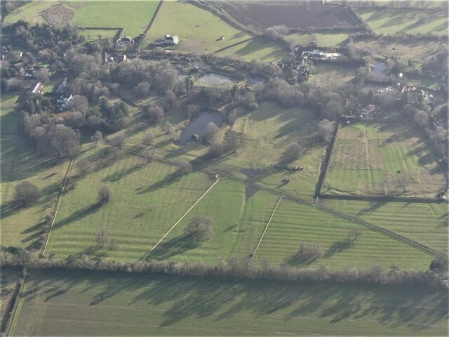
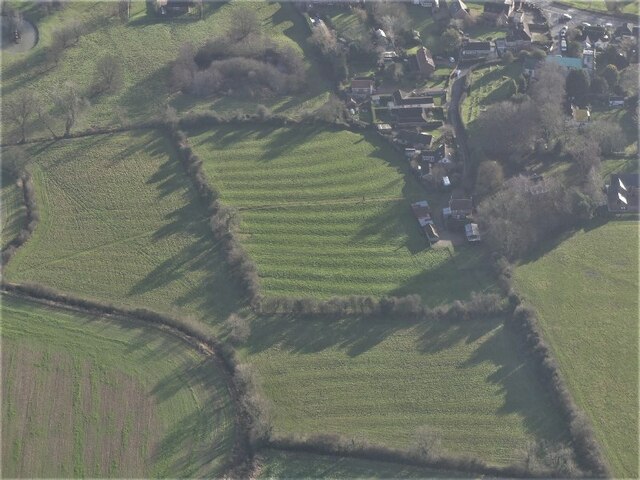
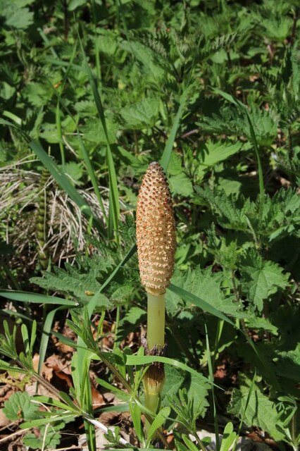
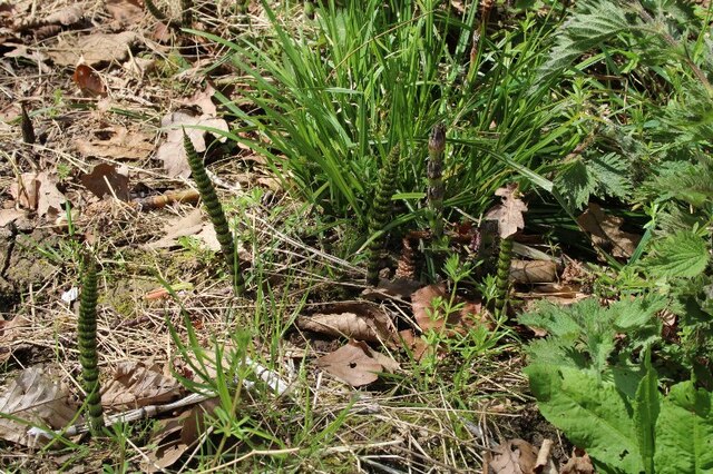
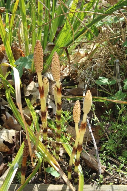
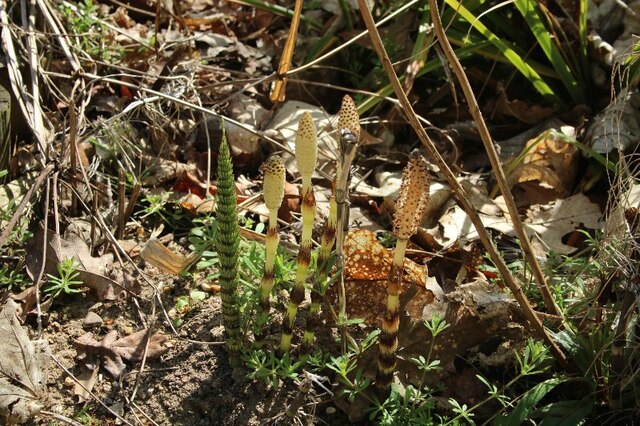
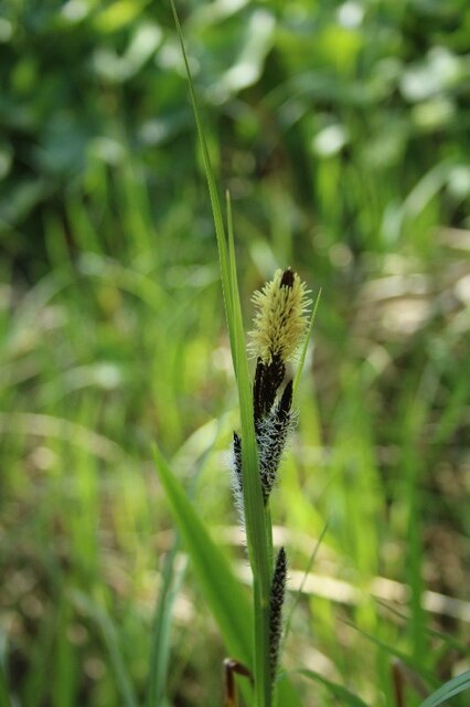
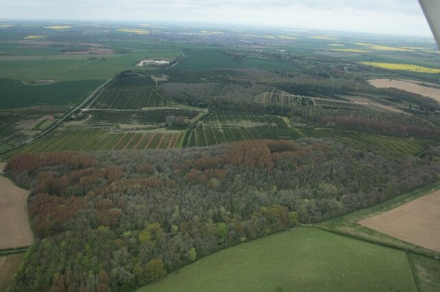
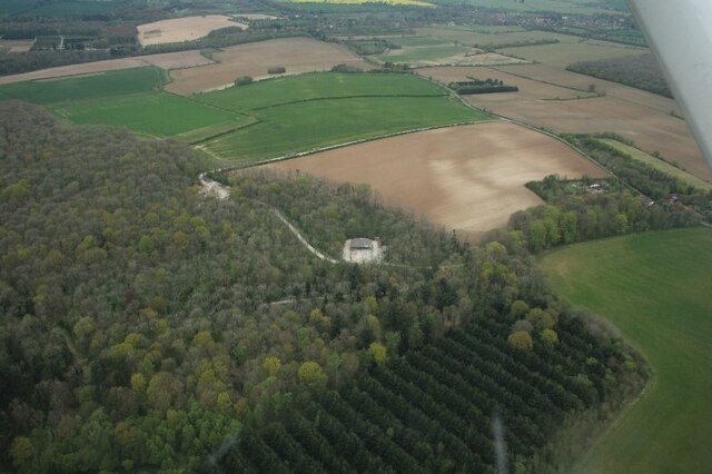
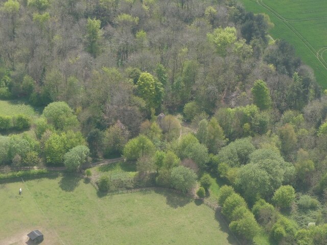
Little Cawthorpe Images

Images are sourced within 2km of 53.333451/0.035617 or Grid Reference TF3583. Thanks to Geograph Open Source API. All images are credited.

Louth former tip and landfill site: aerial 2021
Louth landfill site: aerial 2022
Legbourne Priory site and ridge and furrow: aerial 2022 Founded as a Cistercian nunnery: <span class="nowrap"><a title="https://www.heritagegateway.org.uk/Gateway/Results_Single.aspx?uid=MLI43601&resourceID=1006" rel="nofollow ugc noopener" href="https://www.heritagegateway.org.uk/Gateway/Results_Single.aspx?uid=MLI43601&resourceID=1006">Link</a><img style="margin-left:2px;" alt="External link" title="External link - shift click to open in new window" src="https://s1.geograph.org.uk/img/external.png" width="10" height="10"/></span>

Ridge and furrow: see <span class="nowrap"><a title="https://www.heritagegateway.org.uk/Gateway/Results_Single.aspx?uid=05c5dd4d-ce79-4bc9-925a-6bd9a36feaed&resourceID=19191" rel="nofollow ugc noopener" href="https://www.heritagegateway.org.uk/Gateway/Results_Single.aspx?uid=05c5dd4d-ce79-4bc9-925a-6bd9a36feaed&resourceID=19191">Link</a><img style="margin-left:2px;" alt="External link" title="External link - shift click to open in new window" src="https://s1.geograph.org.uk/img/external.png" width="10" height="10"/></span>
Legbourne Priory site and ridge and furrow: aerial 2022
Founded as a Cistercian nunnery: LinkExternal link Ridge and furrow: see LinkExternal link
Ridge and furrow at Legbourne: aerial 2022
Reconstruction of Iron Age Roundhouse, Kenwick (1)
Reconstruction of Iron Age Roundhouse (2)
Reconstruction of Iron Age Roundhouse (3)
Reconstruction of Iron Age Roundhouse (4)
Equisetum, Kenwick Park (1)
Equisetum, Kenwick Park (2)
Equisetum, Louth Rural Activities Centre, Kenwick (1)
Equisetum, Louth Rural Activities Centre, Kenwick (2)
Sedge, Louth Rural Activities Centre, Kenwick
Haugham Pasture and Maltby Wood: aerial 2022 Maltby Wood mainly in <a href="https://www.geograph.org.uk/gridref/TF3483">TF3483</a>.
Haugham Pasture and Maltby Wood: aerial 2022
Maltby Wood mainly in TF3483.
Haugham Wood and Muckton Bottom: aerial 2022
Woodland, to Kenwick Park: aerial 2022
Church of All Saints
Former Legbourne Road Station Station House with some nice railway touches
Former Legbourne Road Station
Station House with some nice railway touches
Show me another place!

Little Cawthorpe is located at Grid Ref: TF3583 (Lat: 53.333451, Lng: 0.035617)

Division: Parts of Lindsey

Administrative County: Lincolnshire

District: East Lindsey

Police Authority: Lincolnshire

What 3 Words

///tastes.unfolds.sues. Near Burwell, Lincolnshire

Related Wikis

St Helen's Church, Little Cawthorpe

St Helen's Church is a redundant Anglican church in the village of Little Cawthorpe, Lincolnshire, England. It is recorded in the National Heritage List...

Little Cawthorpe

Little Cawthorpe is a village and civil parish in the East Lindsey district of Lincolnshire, England. It is situated about 1.5 miles (2.4 km) south-west...

Legbourne Priory

Legbourne Priory was a priory in the village of Legbourne, Lincolnshire, England. Founded by Robert Fitz Gilbert around 1150, the priory was for the nuns...

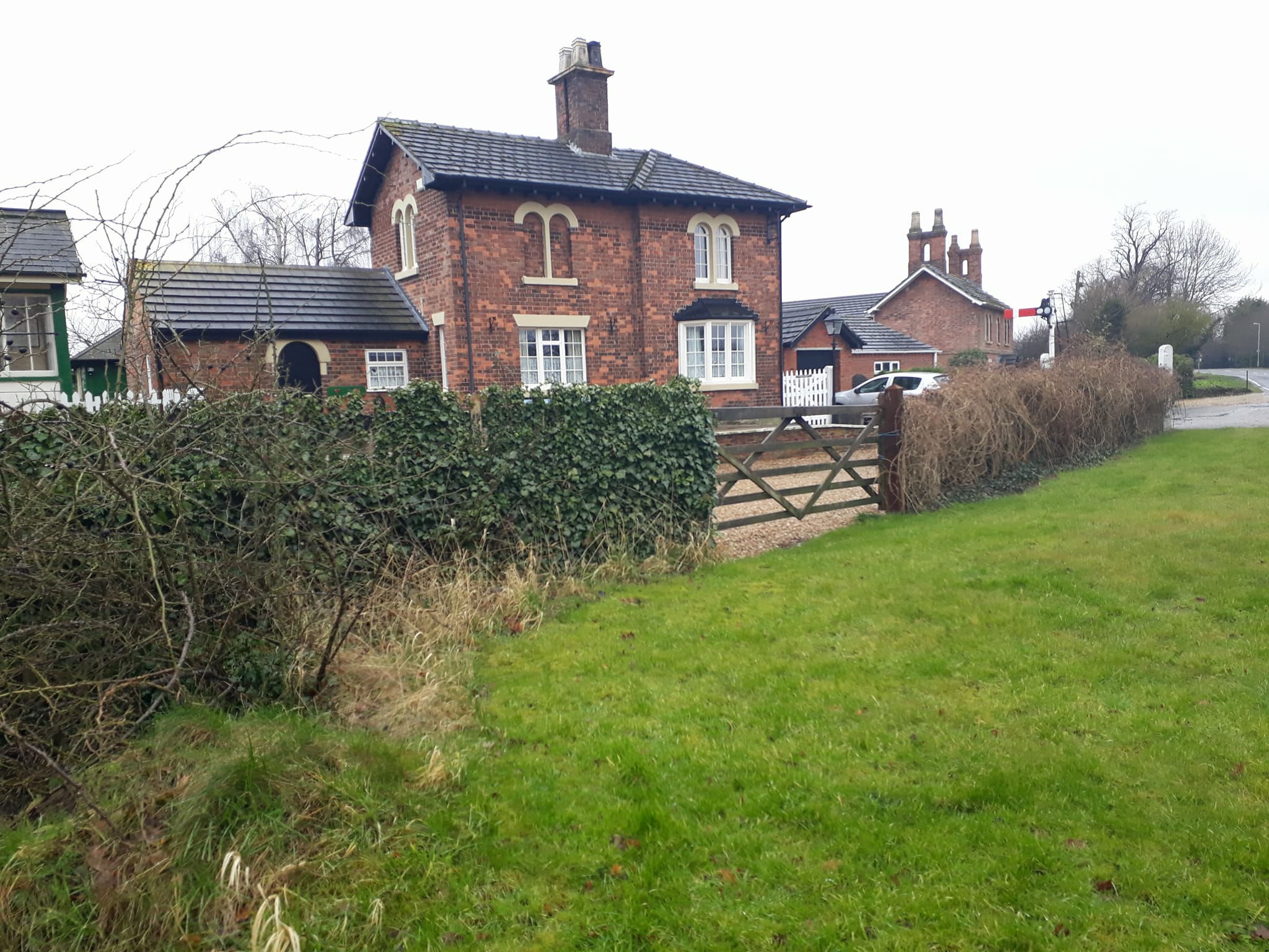
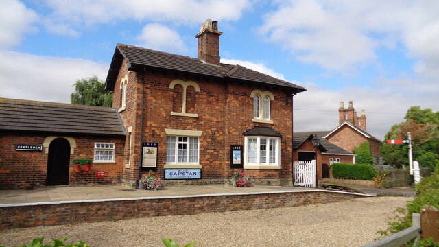
Legbourne Road railway station

Legbourne Road was a railway station on the East Lincolnshire Railway which served the village of Legbourne in Lincolnshire between 1848 and 1964. The...

Legbourne

Legbourne is a village and civil parish in the East Lindsey district of Lincolnshire, England, about 3 miles (5 km) south-east of the town of Louth....

North Reston

North Reston is a village and former civil parish, now in the parish of Reston, in the East Lindsey district of Lincolnshire, England, and on the A157...

Reston, Lincolnshire

Reston is a civil parish in the East Lindsey district of Lincolnshire, England. It is situated on the A157, and approximately 5 miles (8 km) south from...

Haugham

Haugham is a village and civil parish in the East Lindsey district of Lincolnshire, England. It is situated 3 miles (5 km) south from Louth. The prime...

Nearby Amenities

Located within 500m of 53.333451,0.035617
Little Cawthorpe
Is In: Lincolnshire, England, UK
Place: village
Source: Bing
Wikidata: Q2107203
Wikipedia: en:Little Cawthorpe
Lat/Long: 53.3344113/0.0367064
Bus Stop
St Helen's Church
Naptan AtcoCode: 270000014416
Naptan Bearing: SW
Naptan CommonName: St Helen's Church
Naptan Indicator: opp
Naptan Landmark: St Helen's Church
Naptan NaptanCode: linjpmpg
Naptan Street: Watery Lane
Naptan Verified: no
Source: naptan_import
Lat/Long: 53.3328967/0.036609
Bus Stop
Priory View
Naptan AtcoCode: 270000014417
Naptan Bearing: NW
Naptan CommonName: Priory View
Naptan Indicator: adj
Naptan Landmark: Priory View
Naptan NaptanCode: linjpmpj
Naptan Street: Buston Lane
Naptan Verified: no
Source: naptan_import
Lat/Long: 53.3368087/0.0375915
Bus Stop
Priory View
Naptan AtcoCode: 270000014418
Naptan Bearing: SE
Naptan CommonName: Priory View
Naptan Indicator: opp
Naptan Landmark: Priory View
Naptan NaptanCode: linjpmpm
Naptan Street: Buston Lane
Naptan Verified: no
Source: naptan_import
Lat/Long: 53.3368426/0.0377133
Bus Stop
St Helen's Church
Naptan AtcoCode: 2700LLCC3069
Naptan Bearing: NE
Naptan CommonName: St Helen's Church
Naptan Indicator: adj
Naptan Landmark: St Helen's Church
Naptan NaptanCode: linawgwt
Naptan Street: Top Road
Naptan Verified: no
Source: naptan_import
Lat/Long: 53.3329649/0.0362968
Hillside Farm
Place: farm
Source: Bing
Lat/Long: 53.3314658/0.0384816
Ford: yes
Lat/Long: 53.3360557/0.0387282
Pub
The Royal Oak
Addr City: Louth
Addr Country: GB
Addr Postcode: LN11 8LZ
Addr Street: Watery Lane
Addr Village: Little Cawthorpe
Fhrs Authority: East Lindsey
Fhrs Id: 155941
Fhrs Local Authority Id: EHFDI/01376/08
Lat/Long: 53.3356973/0.0391978
The data included in this document is from www.openstreetmap.org. The data is made available under ODbL.

Have you been to Little Cawthorpe?

Leave your review of Little Cawthorpe below (or comments, questions and feedback).