Broom Hill
Settlement in Durham
England
Broom Hill

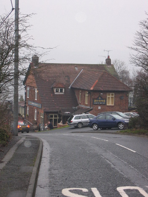
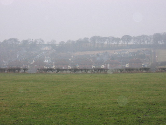
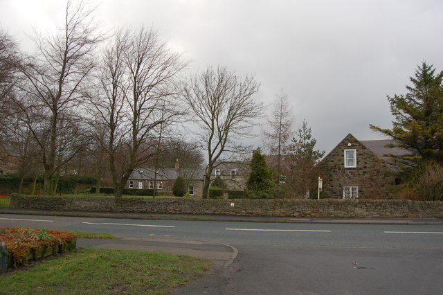
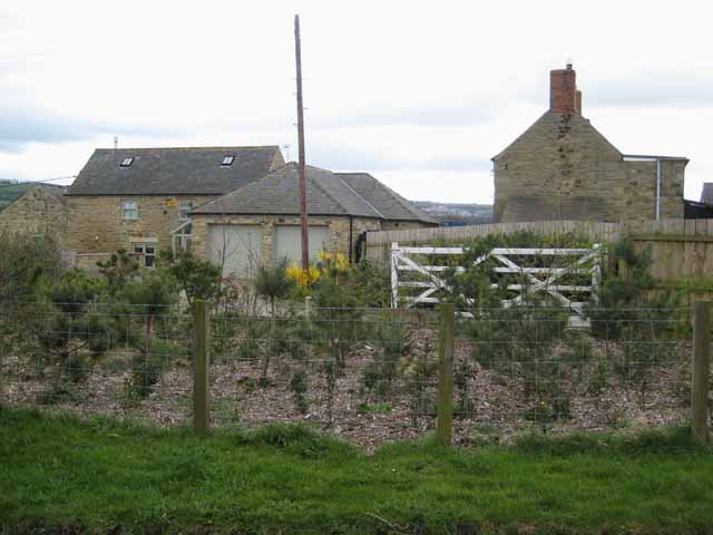
Broom Hill is a small residential area located in Durham, England. It is situated to the south of the city center, between Gilesgate and Belmont. The neighborhood primarily consists of semi-detached houses and bungalows, with a mix of residential and rental properties.
Broom Hill benefits from its close proximity to Durham city center, which is only a short distance away. Residents have easy access to various amenities, including shops, supermarkets, schools, and healthcare facilities. The nearby Gilesgate area offers a range of convenience stores, pubs, and restaurants, ensuring that residents have all their daily needs catered to.
The neighborhood is well-connected to the rest of Durham and the wider region. Broom Hill is served by several bus routes, providing easy access to the city center and surrounding areas. The nearby A690 road also offers convenient links to other parts of Durham and major cities like Newcastle upon Tyne.
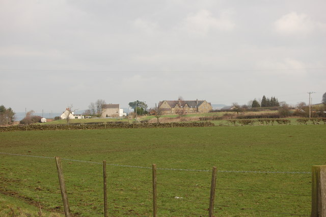
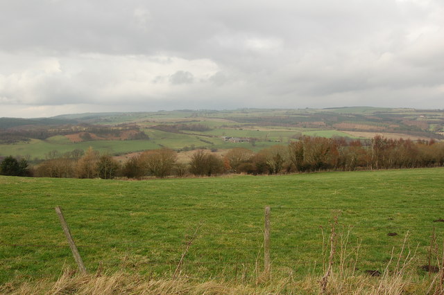
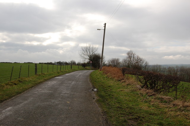
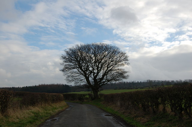
Nature enthusiasts will appreciate Broom Hill's proximity to the beautiful countryside of County Durham. The area is surrounded by picturesque green spaces, such as Sherburn Hill and Belmont Park, perfect for outdoor activities and leisurely walks.
Overall, Broom Hill provides a peaceful and convenient residential location with excellent access to amenities and transportation links. Its close proximity to both Durham city center and the countryside makes it an attractive place to live for individuals and families alike.
If you have any feedback on the listing, please let us know in the comments section below.
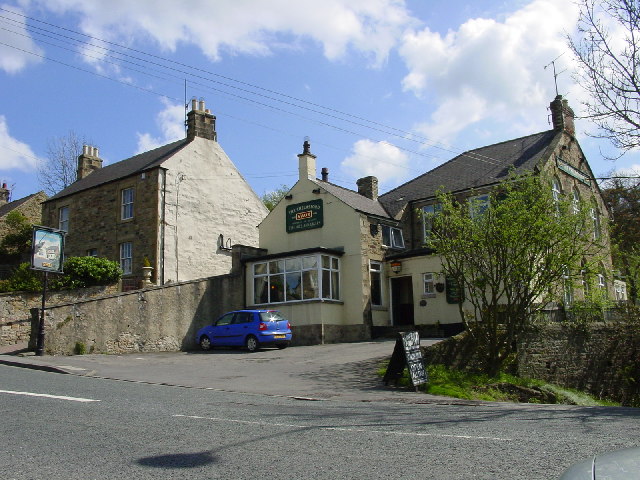
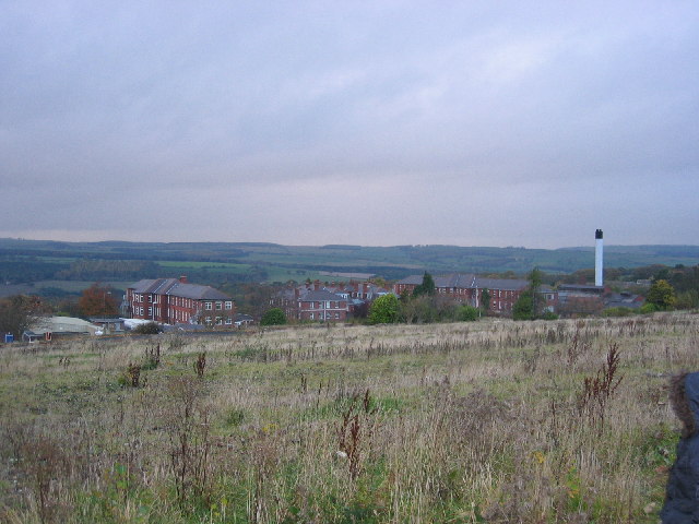
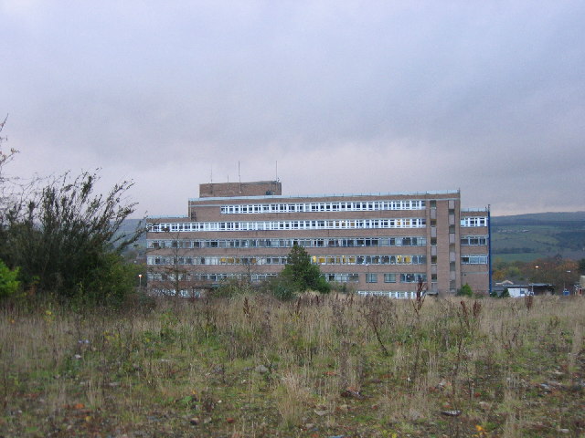
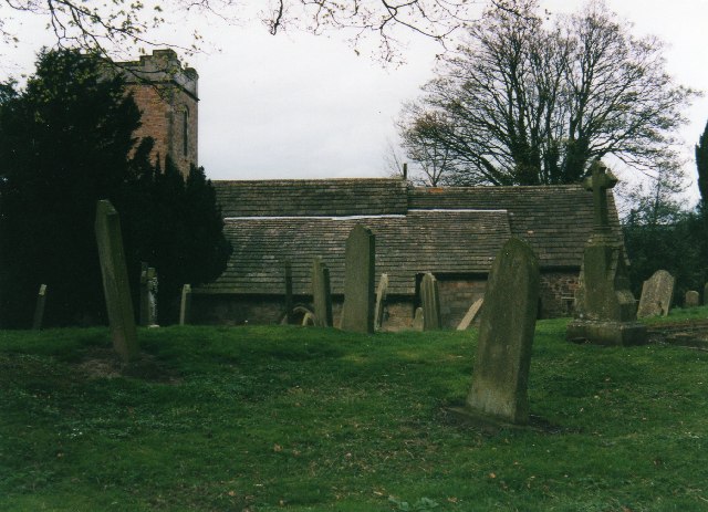
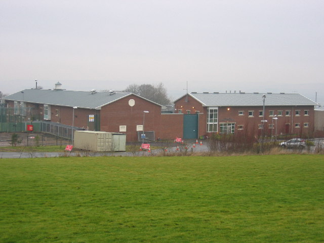
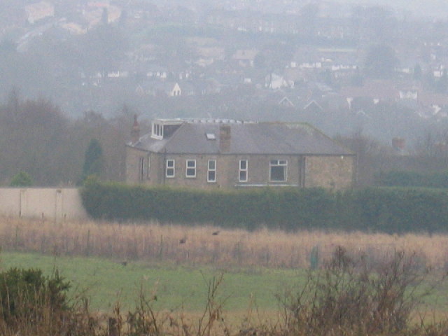
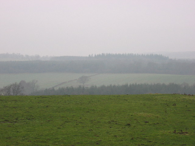
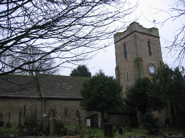
Broom Hill Images
Images are sourced within 2km of 54.885968/-1.835508 or Grid Reference NZ1054. Thanks to Geograph Open Source API. All images are credited.
Broom Hill is located at Grid Ref: NZ1054 (Lat: 54.885968, Lng: -1.835508)
Unitary Authority: County Durham
Police Authority: Durham
What 3 Words
///purse.selection.selection. Near Consett, Co. Durham
Nearby Locations
Related Wikis

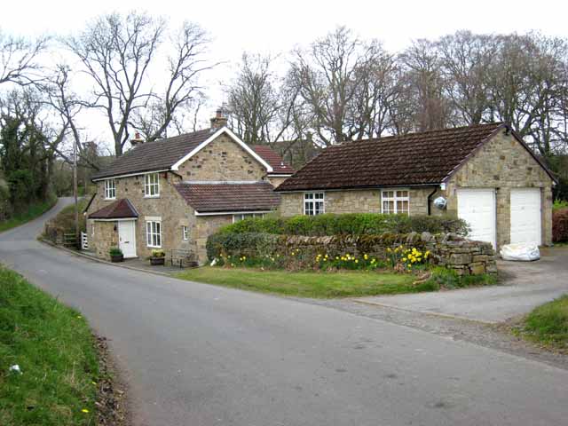
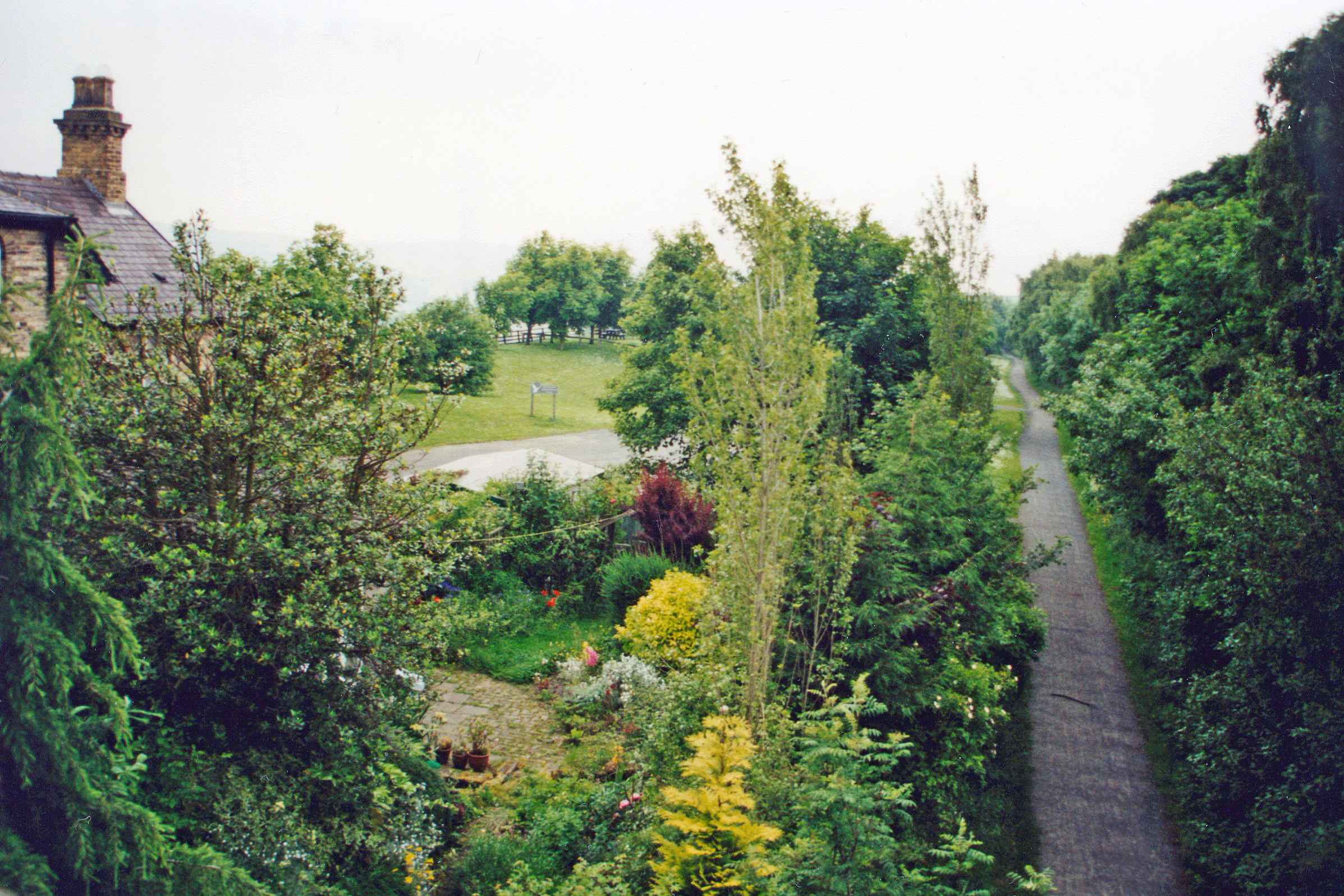
Broom Hill, County Durham
Broom Hill is a small village in County Durham, England. It is situated to the north of Consett, near Ebchester and Medomsley. == References ==
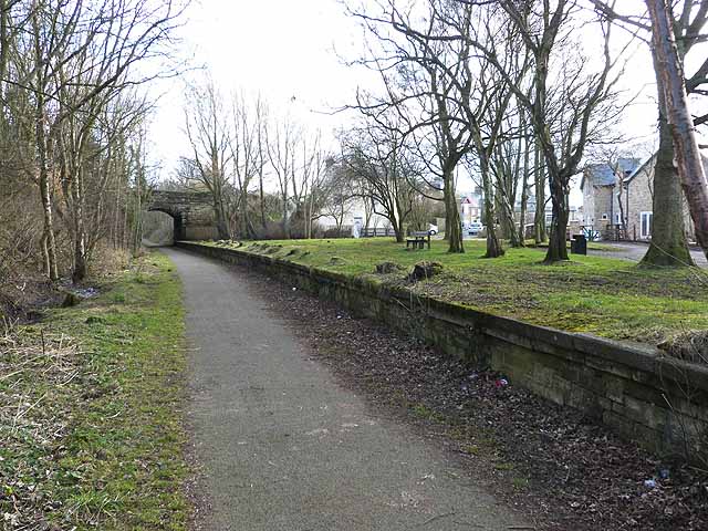
Ebchester railway station
Ebchester railway station served the village of Ebchester, County Durham, England from 1867 to 1963 on the Derwent Valley Railway. == History == The station...

Ebchester
Ebchester is a village in County Durham, England. It is situated to the north of Consett and to the south east of Whittonstall and the hamlet of Newlands...
Vindomora
Vindomora was an auxiliary fort on Dere Street, in the province of Lower Britain (Britannia Inferior). Its ruins, now known as Ebchester Roman Fort, are...
East Law
East Law is a small village in County Durham, England. It is situated on the A694 to the north of Consett and north east of Shotley Bridge. It is located...
Shotley Bridge railway station
Shotley Bridge railway station served the village of Shotley Bridge, County Durham, England from 1867 to 1953 on the Derwent Valley Railway. == History... ==

Medomsley
Medomsley is a village in County Durham, England. It is about 2 miles (3 km) northeast of the centre of Consett, 1+1⁄2 miles (2 km) south of Hamsterley...
High Westwood
High Westwood is an English village in County Durham, a few miles to the north of Consett, near Ebchester and Hamsterley. It once had a colliery and coke...
Nearby Amenities
Located within 500m of 54.885968,-1.835508Have you been to Broom Hill?
Leave your review of Broom Hill below (or comments, questions and feedback).