Broom Hill

Hill, Mountain in Durham

England

Broom Hill

The new bridge over the river Derwent at Ebchester.
The new bridge over the river Derwent at Ebchester. Credit: Ann Hodgson

Broom Hill is a prominent hill located in Durham, England. It stands at an elevation of approximately 143 meters (469 feet) above sea level and is part of the larger Durham Uplands region. The hill is situated to the south of the city center, just outside the bustling urban area.

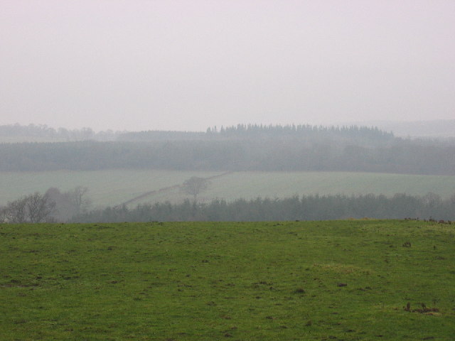
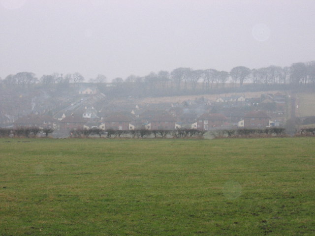
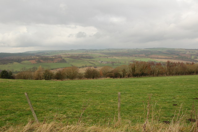
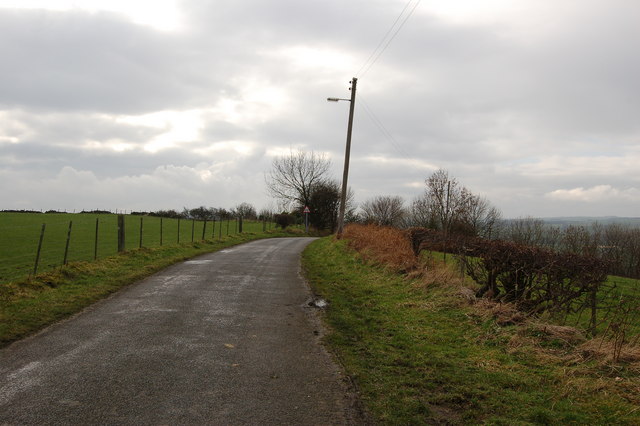
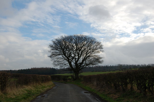
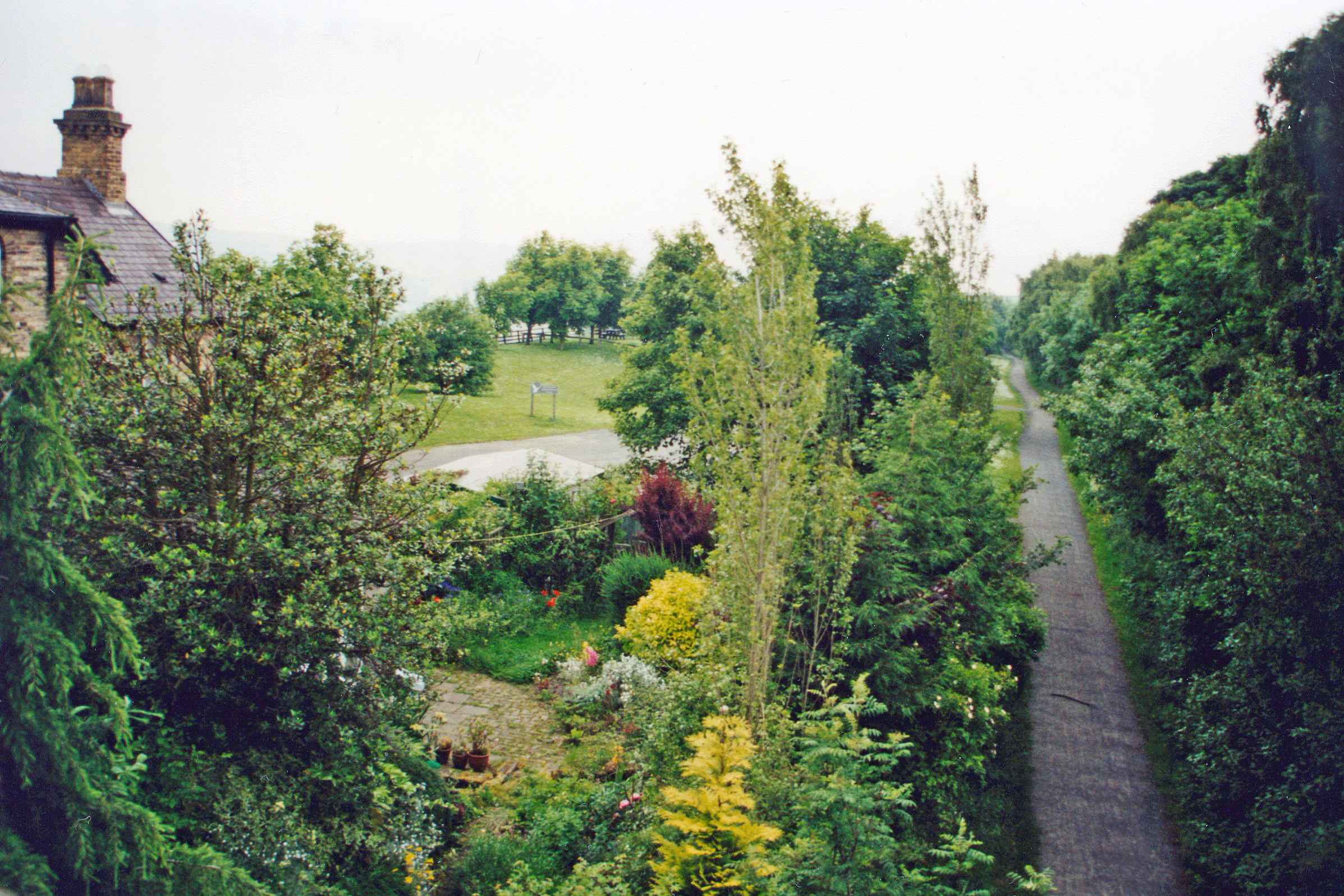
Broom Hill offers stunning panoramic views of the surrounding countryside, including the picturesque River Wear and the historic city of Durham. The hill is covered in lush green vegetation, with a mix of grassy slopes and dense woodland. It is a popular destination for locals and tourists alike, attracting nature enthusiasts, hikers, and those seeking a peaceful retreat from the city.

A network of well-maintained footpaths crisscross Broom Hill, providing easy access for walkers and hikers to explore its natural beauty. The hill is also home to a variety of wildlife, including birds, rabbits, and occasional deer sightings.

At the summit of Broom Hill, there is a small stone trig point, serving as a marker for surveying purposes. This point not only adds interest to the landscape but also offers a great spot for visitors to take in the breathtaking views.

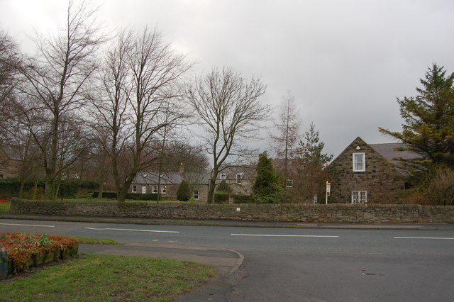
Due to its proximity to Durham, Broom Hill is easily accessible by car or public transportation. There is ample parking available near the hill, and several bus routes pass nearby, making it a convenient location for visitors from both near and far.

Overall, Broom Hill is a cherished natural landmark in Durham, offering panoramic views, peaceful walks, and a chance to connect with nature in the heart of the city's beautiful countryside.

If you have any feedback on the listing, please let us know in the comments section below.
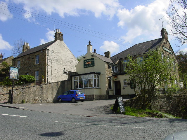
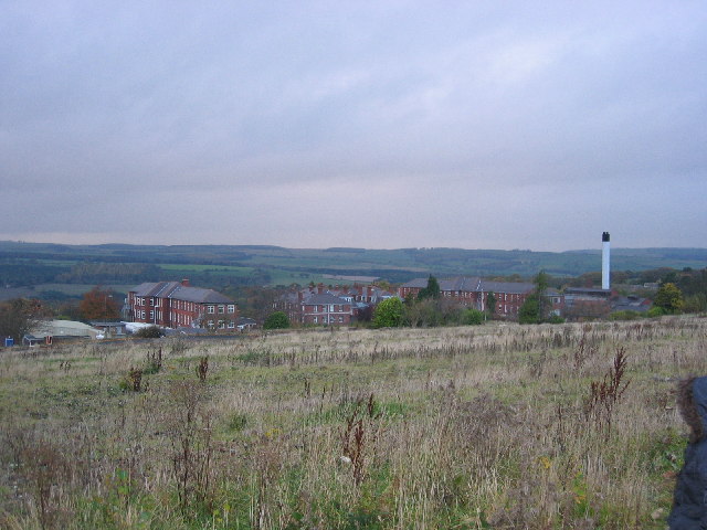
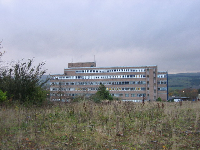
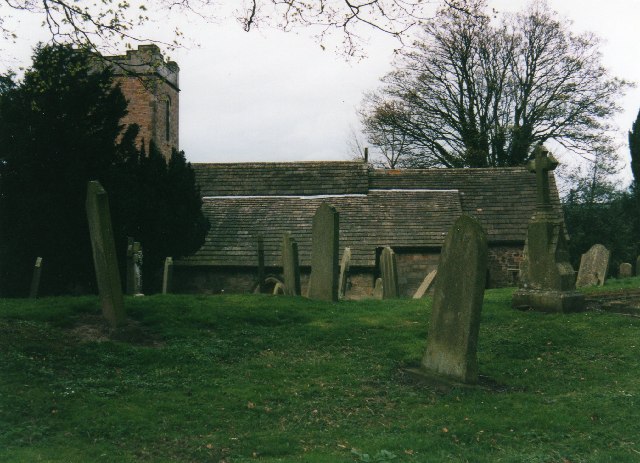
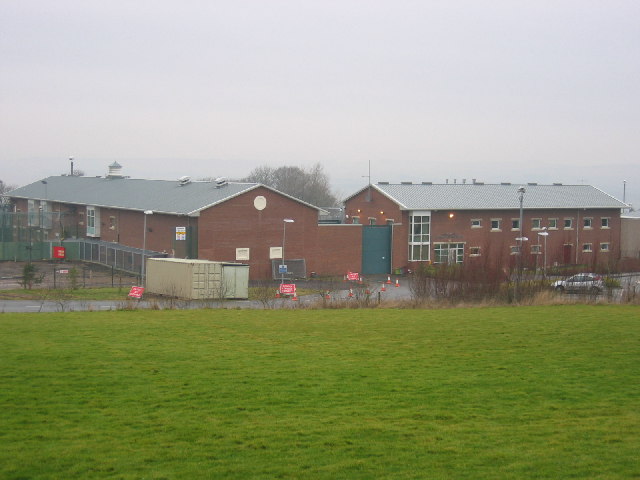
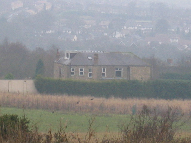
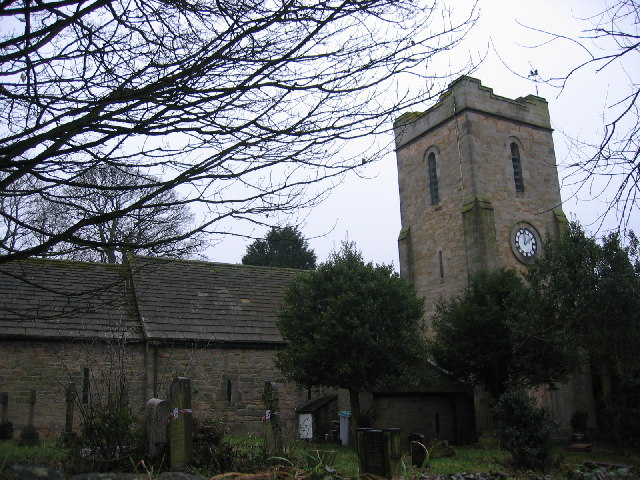
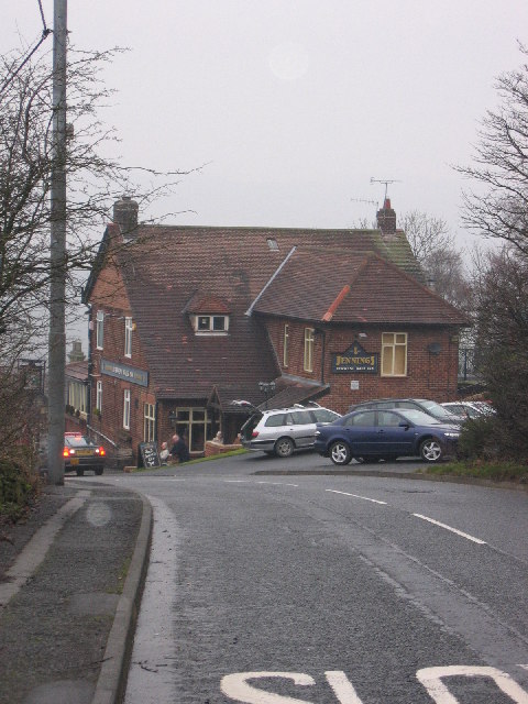
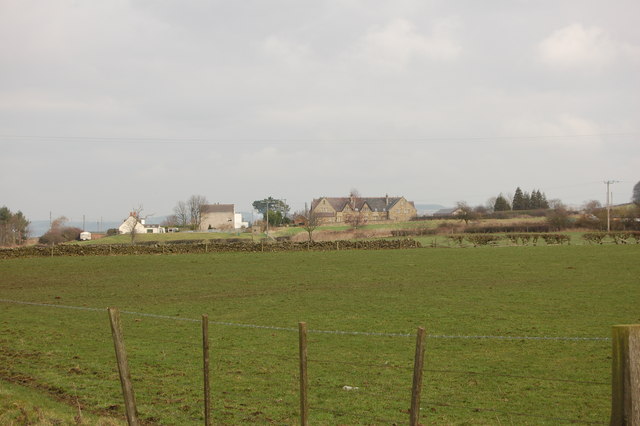
Broom Hill Images

Images are sourced within 2km of 54.886105/-1.8321787 or Grid Reference NZ1054. Thanks to Geograph Open Source API. All images are credited.

The new bridge over the river Derwent at Ebchester.
The Chelmsford, Ebchester.
Shotley Bridge Hospital View of the old hospital buildings no longer in use today, the current and new hospital buildings out of shot to the left.
Shotley Bridge Hospital
View of the old hospital buildings no longer in use today, the current and new hospital buildings out of shot to the left.
Shotley Bridge Hospital View of the current main hospital building in use today, the old hospital buildings out of shot to the right.
Shotley Bridge Hospital
View of the current main hospital building in use today, the old hospital buildings out of shot to the right.
Church & churchyard of St Ebba Ebchester
Hassockfield STC Hassockfield Secure Training Centre main entrance buildings located in old disused quarry.
Hassockfield STC
Hassockfield Secure Training Centre main entrance buildings located in old disused quarry.
Summerhill House Main building showing Summerhill house running alongside Elm Park Burn to the far left and Derwent Walk running through from left to right (Left to Consett and right to Swallwell).
Summerhill House
Main building showing Summerhill house running alongside Elm Park Burn to the far left and Derwent Walk running through from left to right (Left to Consett and right to Swallwell).
Panshield Hags View of part of Panshield Hags in background with wooded area in centre and Derwent River running from left to right below wooded area.
Panshield Hags
View of part of Panshield Hags in background with wooded area in centre and Derwent River running from left to right below wooded area.
Ebchester Church Ebchester Church shown from wall to left of main gates.  Tower building shown on the right and attached sub buildings on the left.  Small selection of graves also in shot and marked for reclamation.
Ebchester Church
Ebchester Church shown from wall to left of main gates. Tower building shown on the right and attached sub buildings on the left. Small selection of graves also in shot and marked for reclamation.
Derwent Walk Inn View of Derwent Walk Inn going down Broom Hill bank.  This pub is situated right on a crosslink with the Derwent Walk running from the left (Consett) to the Right (Swallwell).
Derwent Walk Inn
View of Derwent Walk Inn going down Broom Hill bank. This pub is situated right on a crosslink with the Derwent Walk running from the left (Consett) to the Right (Swallwell).
The Dene View of the entire small estate called The Dene situated near the main road of the village Medomsley.
The Dene
View of the entire small estate called The Dene situated near the main road of the village Medomsley.
High Westwood
High Westwood
Trees, fence and field near High Westwood
Road to Ebchester from High Westwood
Tree on Cut Throat Lane
Field and woods south of the Derwent walk off Cut Throat Lane
Trees and bushes near Black Byerside wood
Cottages Medomsley
Cottages Medomsley
Show me another place!

Broom Hill is located at Grid Ref: NZ1054 (Lat: 54.886105, Lng: -1.8321787)

Unitary Authority: County Durham

Police Authority: Durham

What 3 Words

///slippery.hazelnuts.viewers. Near Consett, Co. Durham

Related Wikis

Broom Hill, County Durham

Broom Hill is a small village in County Durham, England. It is situated to the north of Consett, near Ebchester and Medomsley. == References ==

Ebchester railway station

Ebchester railway station served the village of Ebchester, County Durham, England from 1867 to 1963 on the Derwent Valley Railway. == History == The station...

Ebchester

Ebchester is a village in County Durham, England. It is situated to the north of Consett and to the south east of Whittonstall and the hamlet of Newlands...

Vindomora

Vindomora was an auxiliary fort on Dere Street, in the province of Lower Britain (Britannia Inferior). Its ruins, now known as Ebchester Roman Fort, are...

Nearby Amenities

Located within 500m of 54.886105,-1.8321787
Ebchester Station Picnic Area
Tourism: picnic_site
Lat/Long: 54.8884443/-1.8344455
Bicycle Parking
Lat/Long: 54.8872376/-1.8349149
Ebchester
Historic Railway: station
Railway: site
Source: NPE
Wikidata: Q30596029
Wikipedia: en:Ebchester railway station
Lat/Long: 54.8880623/-1.8348035
Bus Stop
Telephone Kiosk
Naptan AtcoCode: 13001659B
Naptan Bearing: NE
Naptan CommonName: Telephone Kiosk
Naptan Indicator: north east bound
Naptan Landmark: Landmark not known
Naptan NaptanCode: duragtwp
Naptan Notes: in fron tof no 55 Adams Terrace- Medomsley
Naptan Street: The Dene
Naptan Verified: no
Source: naptan_import
Lat/Long: 54.8860571/-1.8253149
Bus Stop
Glebe Farm
Naptan AtcoCode: 13001803D
Naptan Bearing: N
Naptan CommonName: Glebe Farm
Naptan Indicator: north bound
Naptan Landmark: Landmark not known
Naptan NaptanCode: durajpgt
Naptan Notes: On B6309 in front of No 4 Rose terrace- Medomsley Cross Roads
Naptan Street: B6309
Naptan Verified: no
Source: naptan_import
Lat/Long: 54.8827416/-1.8321097
Bus Stop
Glebe Farm
Naptan AtcoCode: 13001803H
Naptan Bearing: S
Naptan CommonName: Glebe Farm
Naptan Indicator: south bound
Naptan Landmark: Landmark not known
Naptan NaptanCode: durajpgw
Naptan Notes: opposite side garden to N0 4 Rose terrace on B6309- Medomsley Cross Roads
Naptan Street: B6309
Naptan Verified: no
Source: naptan_import
Lat/Long: 54.882553/-1.8321729
Bus Stop
Hill Crest Cottage
Naptan AtcoCode: 13001809A
Naptan Bearing: N
Naptan CommonName: Hill Crest Cottage
Naptan Indicator: north bound
Naptan Landmark: opposite Broomhill Farm
Naptan NaptanCode: durajpjw
Naptan Street: B6309
Naptan Verified: no
Source: naptan_import
Lat/Long: 54.8844867/-1.8333339
Bus Stop
Hill Crest Cottage
Naptan AtcoCode: 13001809D
Naptan Bearing: SE
Naptan CommonName: Hill Crest Cottage
Naptan Indicator: south east bound
Naptan Landmark: opposite Glebe Farm
Naptan NaptanCode: durajpma
Naptan Street: B6309
Naptan Verified: no
Source: naptan_import
Lat/Long: 54.8833893/-1.8325902
Bus Stop
Slades House
Naptan AtcoCode: 13001810A
Naptan Bearing: N
Naptan CommonName: Slades House
Naptan Indicator: north bound
Naptan Landmark: Landmark not known
Naptan NaptanCode: durajpmd
Naptan Notes: On B6309 approx. 7m to the south of the Poplars- Broomhill- Ebchester
Naptan Street: B6309 - Ebchester Hill
Naptan Verified: no
Source: naptan_import
Lat/Long: 54.8864557/-1.8344571
Bus Stop
Slades House
Naptan AtcoCode: 13001810E
Naptan Bearing: S
Naptan CommonName: Slades House
Naptan Indicator: south bound
Naptan Landmark: Landmark not known
Naptan NaptanCode: durajpmg
Naptan Notes: Opposite the Poplars on B6309- Broomhill- Ebchester
Naptan Street: B6309 - Ebchester Hill
Naptan Verified: no
Source: naptan_import
Lat/Long: 54.8865051/-1.8342748
Barrier: stile
Lat/Long: 54.8901094/-1.8294748
Generator Method: photovoltaic
Generator Source: solar
Generator Type: solar_photovoltaic_panel
Location: roof
Power: generator
Lat/Long: 54.8892071/-1.8377893
Generator Method: photovoltaic
Generator Source: solar
Generator Type: solar_photovoltaic_panel
Location: roof
Power: generator
Lat/Long: 54.8891477/-1.8376927
The data included in this document is from www.openstreetmap.org. The data is made available under ODbL.

Have you been to Broom Hill?

Leave your review of Broom Hill below (or comments, questions and feedback).