Broom Hill
Settlement in Durham
England
Broom Hill
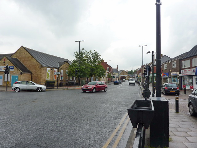
Broom Hill is a residential area located in the city of Durham, England. Situated to the west of the city center, it is part of the larger Neville's Cross ward. Broom Hill is primarily a residential neighborhood, characterized by its rows of terraced houses and semi-detached properties.
The area is known for its close-knit community and family-friendly atmosphere. Many families and young professionals call Broom Hill home due to its convenient location and proximity to local amenities. The University Hospital of North Durham is situated nearby, making it an attractive area for medical professionals and hospital staff.
Broom Hill benefits from excellent transport links, with regular bus services connecting it to the city center and surrounding areas. The nearby A167 provides easy access to major road networks, making commuting to nearby towns and cities convenient.
Residents of Broom Hill can enjoy a range of amenities within easy reach. The nearby Arnison Retail Park offers a variety of shops, including major supermarkets, restaurants, and a cinema. The city center of Durham is also within walking distance, providing a wealth of shopping, dining, and entertainment options.
For nature lovers, Broom Hill is situated close to the beautiful countryside surrounding Durham. The area offers plenty of opportunities for outdoor activities, including walking, cycling, and exploring the nearby parks and green spaces.
Overall, Broom Hill is a sought-after residential area in Durham, known for its community spirit, convenient location, and access to amenities.
If you have any feedback on the listing, please let us know in the comments section below.
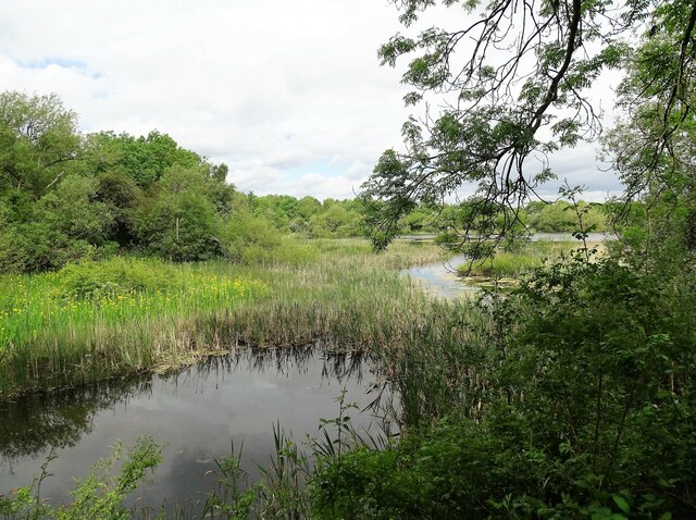
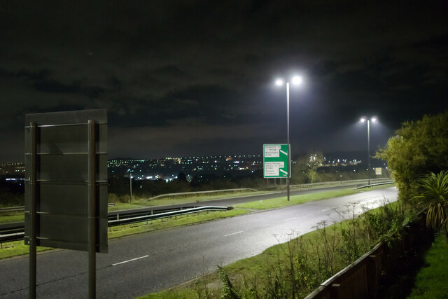
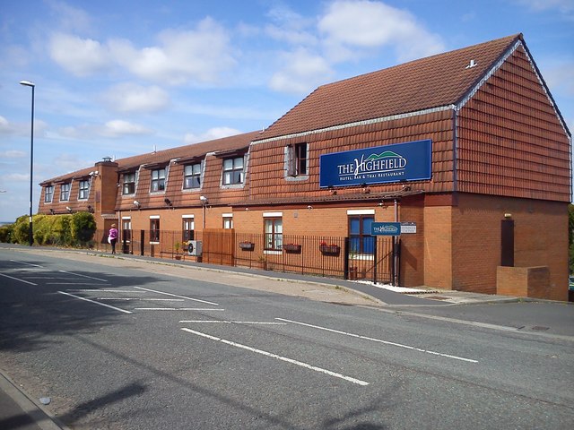
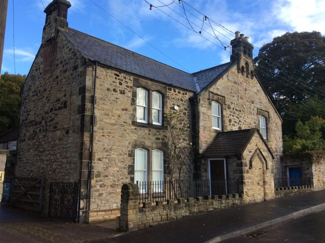
Broom Hill Images
Images are sourced within 2km of 54.829613/-1.460579 or Grid Reference NZ3448. Thanks to Geograph Open Source API. All images are credited.


Broom Hill is located at Grid Ref: NZ3448 (Lat: 54.829613, Lng: -1.460579)
Unitary Authority: Sunderland
Police Authority: Northumbria
What 3 Words
///clicker.balconies.presuming. Near Houghton-Le-Spring, Co. Durham
Nearby Locations
Related Wikis
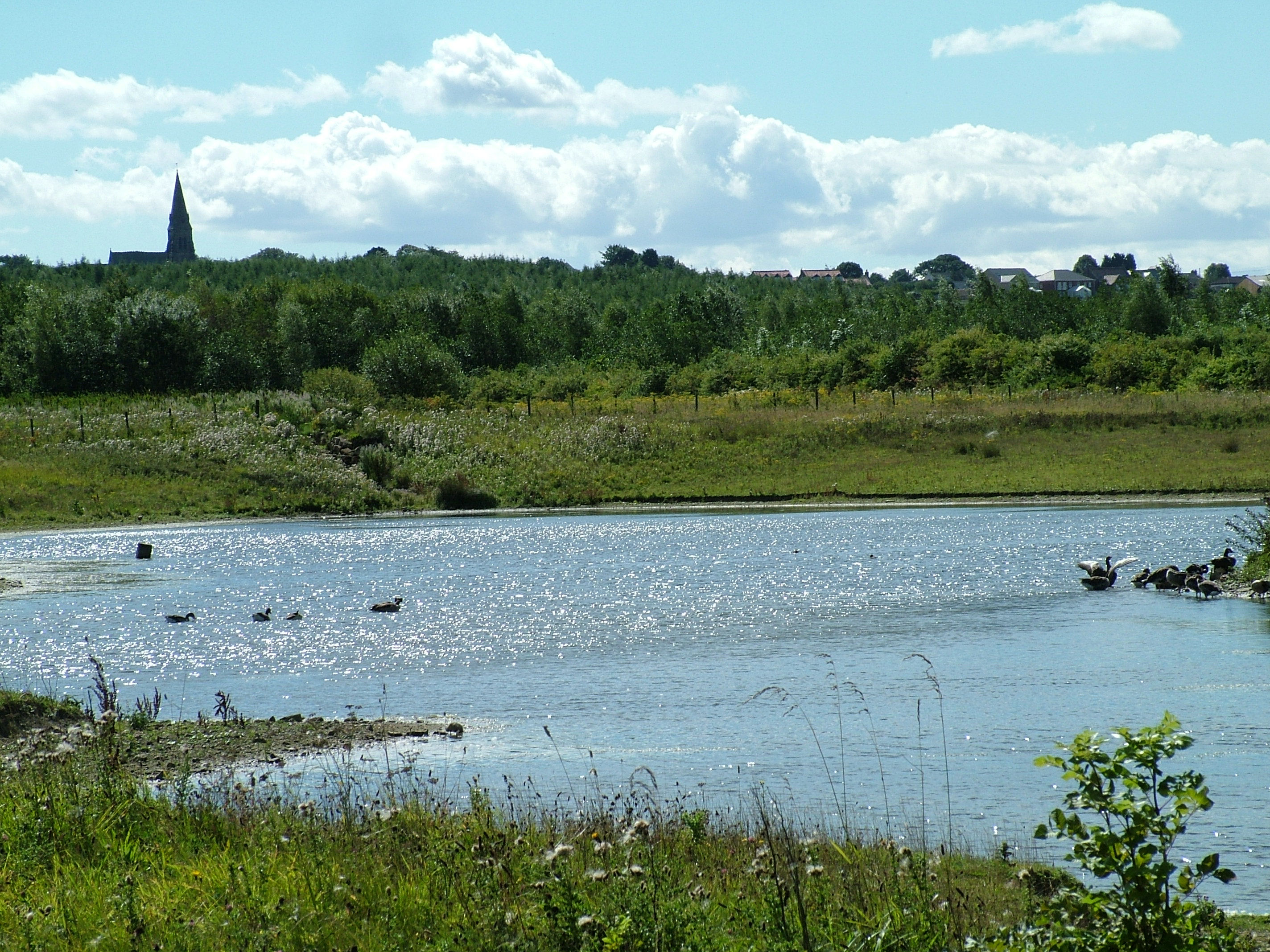
Rainton Meadows
Rainton Meadows is a nature reserve just to the west of East Rainton, County Durham, north-east England. The reserve, which covers 60 ha, and the adjacent...

Sunderland A.F.C. Women
Sunderland Association Football Club Women is an English women's football club that plays in the Women's Championship. They play their home games at the...
Eppleton Colliery Welfare Ground
Eppleton Colliery Welfare Ground (often shortened to Eppleton CW) is a football ground located in Hetton-le-Hole in the City of Sunderland, Tyne and Wear...
Hetton-le-Hole
Hetton-le-Hole is a town and civil parish in the City of Sunderland, Tyne and Wear, England. It is in the historic county of Durham. A182 runs through...
Nearby Amenities
Located within 500m of 54.829613,-1.460579Have you been to Broom Hill?
Leave your review of Broom Hill below (or comments, questions and feedback).