Leebotwood
Civil Parish in Shropshire
England
Leebotwood

Leebotwood is a small civil parish located in the county of Shropshire, England. Situated in the West Midlands region, it lies approximately 7 miles south of the historic town of Shrewsbury. The parish covers an area of around 3 square miles and has a population of around 200 people.
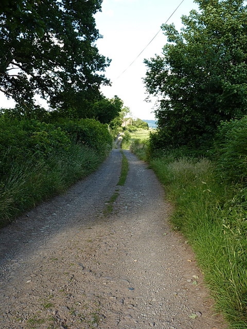
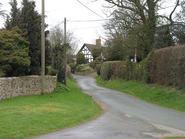
The rural village of Leebotwood is nestled in the picturesque countryside, surrounded by rolling hills and meandering streams. It is known for its idyllic landscapes and tranquil atmosphere, making it a popular destination for those seeking a peaceful retreat. The parish is predominantly agricultural, with farming being the main industry in the area.
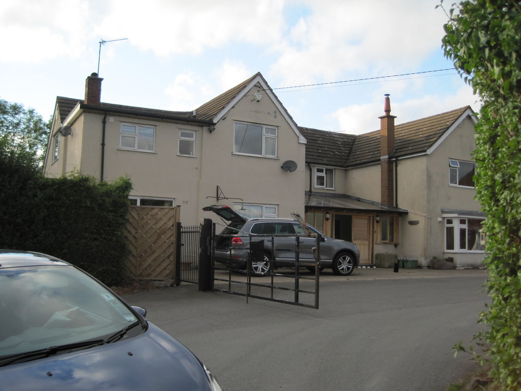
The village itself consists of a small cluster of houses, a church, and a village hall. The church, St. Mary's, is a Grade II listed building that dates back to the 12th century, adding to the historical charm of the area. The village hall serves as a community hub, hosting various events and activities for residents.
Leebotwood is well-connected to the rest of the county by road, with the A49 running nearby, providing easy access to Shrewsbury and other major towns and cities in the region. The surrounding countryside offers ample opportunities for outdoor activities such as hiking, cycling, and horse riding.
Overall, Leebotwood is a quaint and peaceful parish in Shropshire, offering a rural escape for those looking to immerse themselves in the beauty of the English countryside.
If you have any feedback on the listing, please let us know in the comments section below.
Leebotwood Images
Images are sourced within 2km of 52.587049/-2.772289 or Grid Reference SO4799. Thanks to Geograph Open Source API. All images are credited.


Leebotwood is located at Grid Ref: SO4799 (Lat: 52.587049, Lng: -2.772289)
Unitary Authority: Shropshire
Police Authority: West Mercia
What 3 Words
///finally.destroyer.hands. Near Longnor, Shropshire
Nearby Locations
Related Wikis

Leebotwood
Leebotwood ( lee-BOT-wood) is a small village and civil parish in Shropshire, England. It is about 9 miles (14 km) south of Shrewsbury and 3.5 miles (5...
Leebotwood railway station
Leebotwood railway station was a station in Leebotwood, Shropshire, England. The station was opened in 1852 and closed in 1958. == References == ��2�...

Longnor, Shropshire
Longnor is a village and civil parish off the A49 road, south of Dorrington and north of Leebotwood in Shropshire, England, with a population of 289. The...
Woolstaston
Woolstaston is a small village and civil parish in Shropshire, England, south of Shrewsbury and north of the nearest town, Church Stretton. It is located...

Comley
Comley is a hamlet in Shropshire, England. It is near the A49 road, to the northeast of Church Stretton. It is situated between two prominent hills: Caer...

Smethcott
Smethcott (sometimes Smethcote) is a civil parish and dispersed hamlet near the village of Picklescott, in Shropshire, England. The population of the civil...

Caer Caradoc
Caer Caradoc (Welsh: Caer Caradog, the fort of Caradog) is a hill in the English county of Shropshire. It overlooks the town of Church Stretton and the...

Dorrington, Shropshire
Dorrington is a large village in Shropshire, England, it is located 6 miles (9.7 km) south of Shrewsbury. The population of the village was estimated as...
Nearby Amenities
Located within 500m of 52.587049,-2.772289Have you been to Leebotwood?
Leave your review of Leebotwood below (or comments, questions and feedback).