Ledston
Civil Parish in Yorkshire Leeds
England
Ledston
Ledston is a civil parish located in the county of Yorkshire, England. Situated approximately 10 miles southeast of Leeds, it falls within the metropolitan borough of the City of Leeds. The parish covers an area of around 1.5 square miles and is home to a population of around 500 residents.
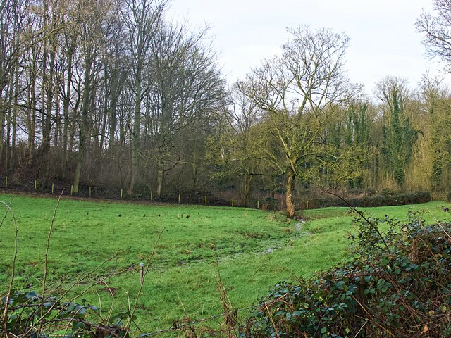
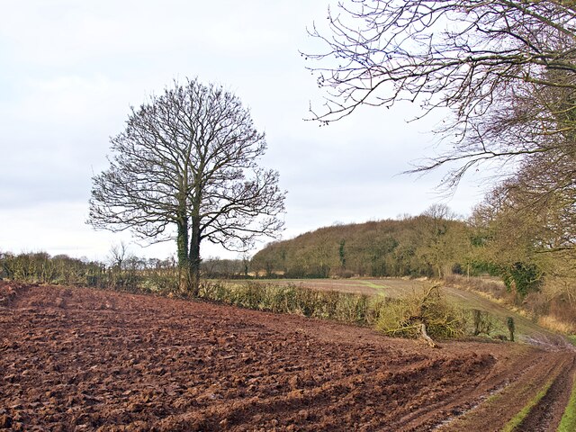
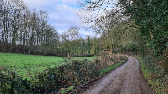
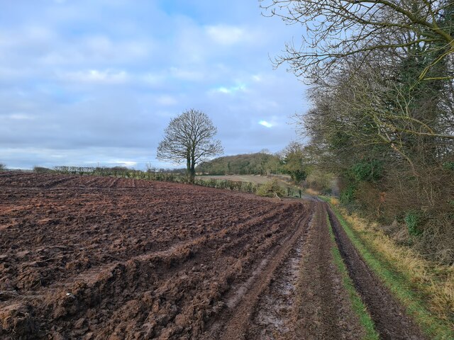
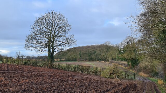
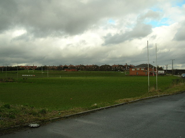
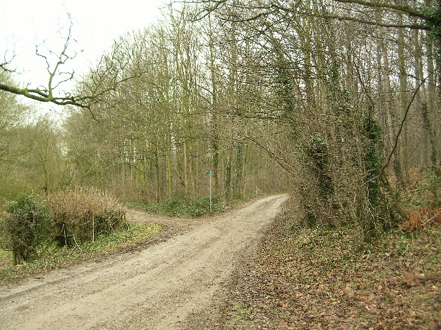
Ledston is a small village that boasts a rich history dating back to the medieval times. It is known for its picturesque countryside and charming rural setting, making it an ideal place for nature lovers and those seeking a peaceful retreat. The village is surrounded by rolling hills and fields, offering plenty of opportunities for outdoor activities such as hiking, cycling, and exploring the nearby nature reserves.
One of the notable landmarks in Ledston is Ledston Hall, a Grade I listed country house built in the 18th century. The hall is renowned for its stunning architecture, including a grand entrance hall and a beautiful Georgian staircase. It is currently privately owned but occasionally opens its doors to the public for special events and tours.
Ledston is also home to the Church of All Saints, a historic place of worship dating back to the 12th century. The church features a striking Norman tower and a collection of medieval stained glass windows, making it a popular destination for history enthusiasts and architectural admirers.
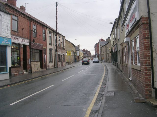
In terms of amenities, Ledston offers a primary school, a local pub, and a few shops catering to the basic needs of its residents. For more extensive shopping and entertainment options, the nearby town of Castleford is easily accessible.
Overall, Ledston is a small but charming village in Yorkshire, offering a tranquil setting, historic landmarks, and a close-knit community atmosphere.
If you have any feedback on the listing, please let us know in the comments section below.
Ledston Images
Images are sourced within 2km of 53.759418/-1.340693 or Grid Reference SE4329. Thanks to Geograph Open Source API. All images are credited.


Ledston is located at Grid Ref: SE4329 (Lat: 53.759418, Lng: -1.340693)
Division: West Riding
Administrative County: West Yorkshire
District: Leeds
Police Authority: West Yorkshire
What 3 Words
///seasons.ideas.ratty. Near Ledston, West Yorkshire
Nearby Locations
Related Wikis

Ledston
Ledston (historically also spelt Ledstone) is a village in the Leeds metropolitan borough, in the county of West Yorkshire, England. It is 3 miles (5...

Ledston railway station
Ledston railway station was a railway station on the now disused Castleford–Garforth line in West Yorkshire, England. The station opened in 1878 and was...

Ledsham, West Yorkshire
Ledsham is a village and civil parish 4 miles (6 km) north of Castleford and 11 miles (18 km) east of Leeds in the county of West Yorkshire, England. The...

Church of All Saints, Ledsham
The Church of All Saints is an Anglican building in the village of Ledsham, West Yorkshire, England, some 10 miles (16 km) east of Leeds. Parts of the...
Kippax, West Yorkshire
Kippax is a village and civil parish in the City of Leeds metropolitan borough, West Yorkshire, England. It is situated to the east of the city, near...
Allerton Bywater colliery explosion
The Allerton Bywater colliery explosion was a mining accident at the Allerton Bywater Colliery in Allerton Bywater, England, which occurred on Monday 10...

Allerton Bywater
Allerton Bywater is a semi-rural village and civil parish in the south-east of the City of Leeds metropolitan borough in West Yorkshire, England. The population...

Fairburn Ings RSPB reserve
Fairburn Ings Nature Reserve is a protected area in West Yorkshire, England, noted for its avian biodiversity. The reserve has recorded around 280 bird...
Nearby Amenities
Located within 500m of 53.759418,-1.340693Have you been to Ledston?
Leave your review of Ledston below (or comments, questions and feedback).