Broom
Settlement in Renfrewshire
Scotland
Broom
Broom is a small residential area located in the Renfrewshire region of Scotland. Situated just south of the town of Paisley, Broom is part of the larger Greater Glasgow conurbation, making it easily accessible to the city center.
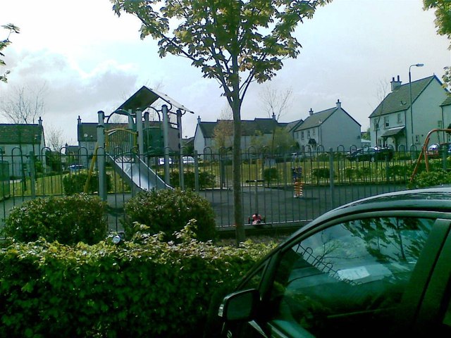
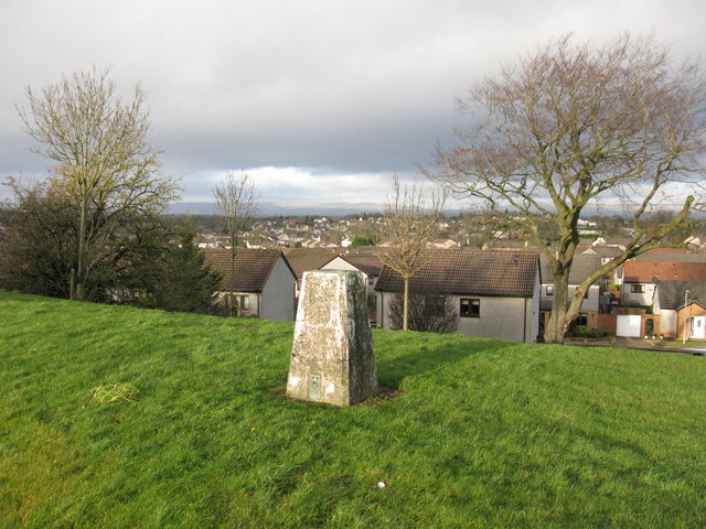
Broom is primarily a residential neighborhood, characterized by a mix of housing types, including detached and semi-detached houses, as well as some apartment buildings. The area is known for its quiet and peaceful atmosphere, making it an attractive place to live for families and individuals looking to escape the hustle and bustle of larger urban areas.
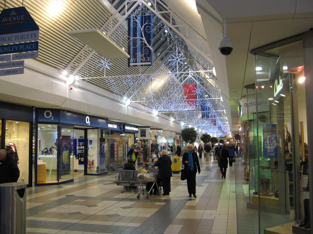
Despite its residential focus, Broom benefits from its proximity to nearby amenities and attractions. The town of Paisley, just a short distance away, offers a range of shops, restaurants, and entertainment options, ensuring that residents have easy access to all their daily needs.
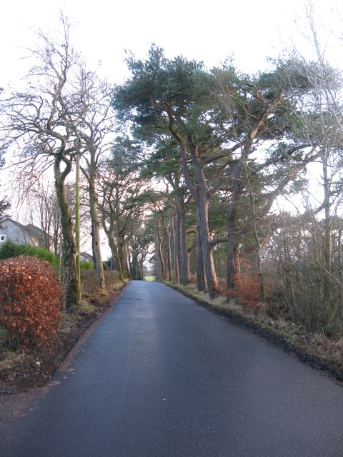
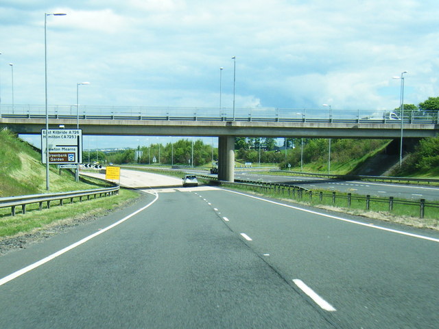
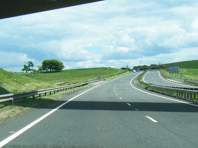
In terms of transportation, Broom is well-served by a network of roads and public transport links. The M8 motorway, one of the main arteries connecting Glasgow with other parts of Scotland, is nearby, providing easy access to the wider region. The area also benefits from several bus routes, making it convenient for residents to travel around the local area.
Overall, Broom offers a peaceful and convenient place to live, with its residential focus, proximity to amenities, and good transport connections making it an attractive location for those seeking a quieter lifestyle within easy reach of larger urban areas.
If you have any feedback on the listing, please let us know in the comments section below.
Broom Images
Images are sourced within 2km of 55.775345/-4.3231431 or Grid Reference NS5456. Thanks to Geograph Open Source API. All images are credited.


![Lloyds TSB Scotland Bank on Ayr Road, Newton Mearns [A77].](https://s3.geograph.org.uk/geophotos/03/53/62/3536223_636e4fde.jpg)


Broom is located at Grid Ref: NS5456 (Lat: 55.775345, Lng: -4.3231431)
Unitary Authority: East Renfrewshire
Police Authority: Greater Glasgow
What 3 Words
///places.hangs.churn. Near Newton Mearns, East Renfrewshire
Related Wikis

Glasgow Reform Synagogue
Glasgow Reform Synagogue is a synagogue in Newton Mearns, East Renfrewshire, Scotland. It is a member of the Movement for Reform Judaism and is the only...

Newton Mearns
Newton Mearns (Scots: The Mearns; Scottish Gaelic: Baile Ùr na Maoirne [ˈpalə ˈuːɾ nə ˈmɯːrˠɲə]) is a suburban town and the largest settlement in East...
Mearns Castle High School
Mearns Castle High School is a secondary school situated on Waterfoot Road in Newton Mearns, East Renfrewshire, Scotland roughly seven miles from Glasgow...
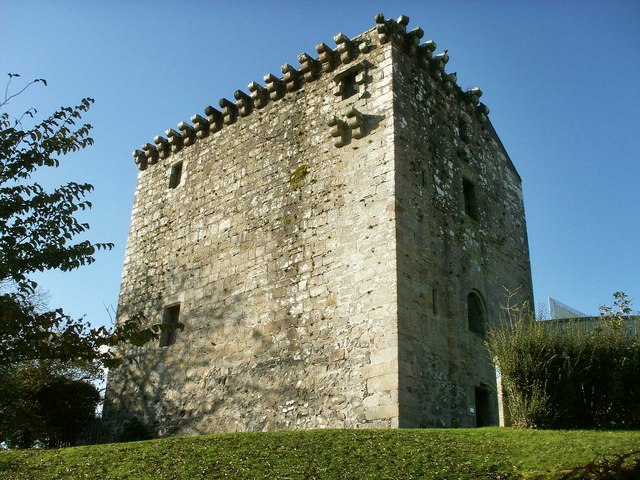
Mearns Castle
Mearns Castle is a 15th-century tower house in Newton Mearns, East Renfrewshire, south of Glasgow, Scotland. It is a Category A listed building. The castle...
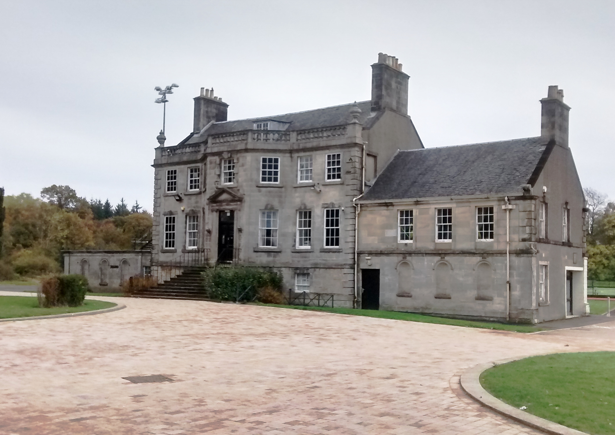
Capelrig House
Capelrig House is an 18th-century house in Newton Mearns, East Renfrewshire, Scotland, upon whose lands is situated Eastwood High School. The house is...
Eastwood High School, Newton Mearns
Eastwood High School is a comprehensive, non-denominational school located centrally in East Renfrewshire to the south of Glasgow, Scotland. It is one...
Patterton
Patterton is an area of the town of Newton Mearns, East Renfrewshire and the Deaconsbank and Jennylind areas of Glasgow, Scotland. It is served by Patterton...
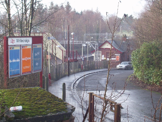
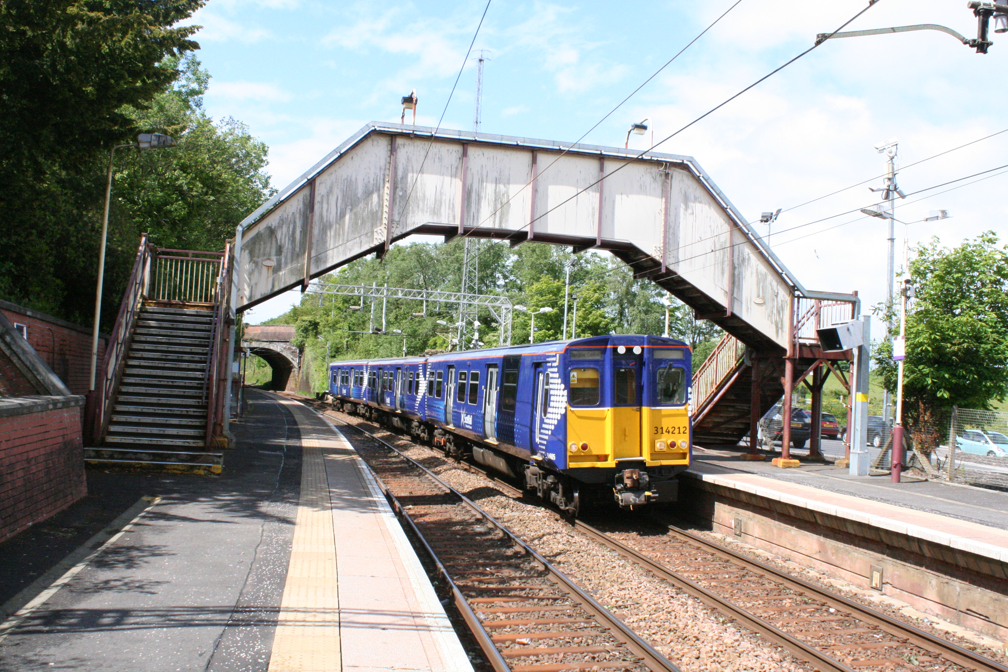
Whitecraigs railway station
Whitecraigs railway station is a railway station serving the Whitecraigs and Davieland areas of the towns of Giffnock and Newton Mearns, East Renfrewshire...
Nearby Amenities
Located within 500m of 55.775345,-4.3231431Have you been to Broom?
Leave your review of Broom below (or comments, questions and feedback).