Crookfur
Settlement in Renfrewshire
Scotland
Crookfur
Crookfur is a small residential area located in Renfrewshire, Scotland. Situated approximately 10 miles southwest of the city of Glasgow, it is a peaceful and suburban neighborhood.
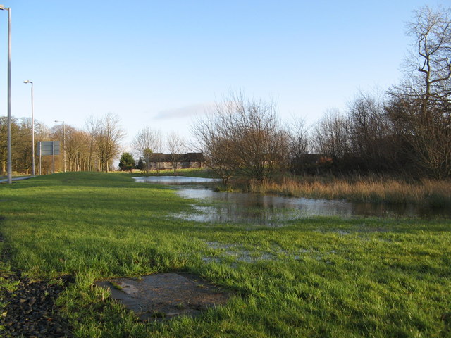
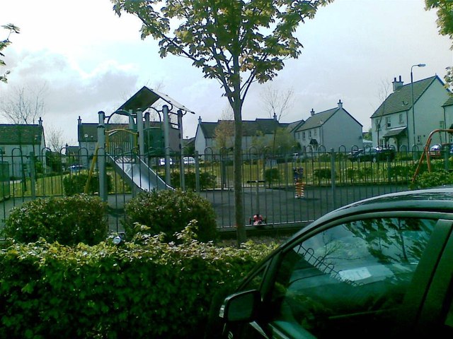
The area is primarily composed of housing developments, offering a mix of detached and semi-detached houses, as well as some apartment complexes. Crookfur is known for its well-maintained streets and attractive green spaces, providing a pleasant environment for residents.
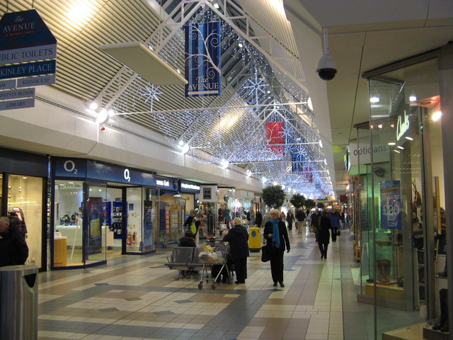
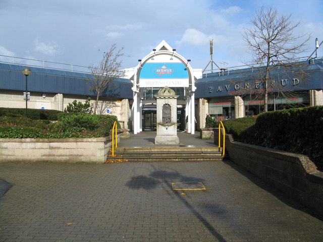
Crookfur is conveniently located near several amenities. With a range of local shops and supermarkets, residents have easy access to everyday necessities. In addition, there are several schools in the area, making it an ideal place for families with children.
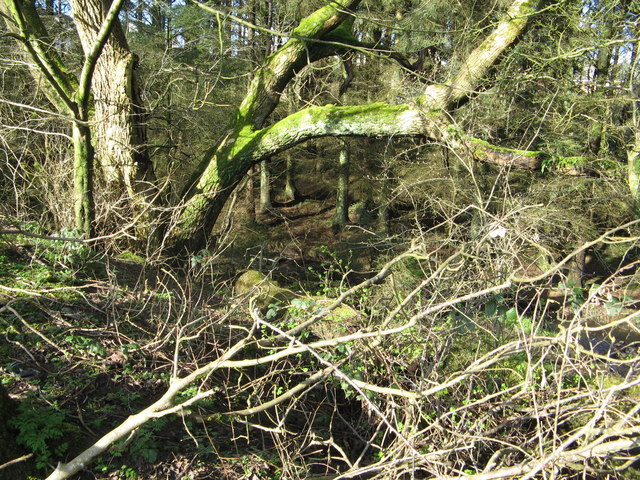
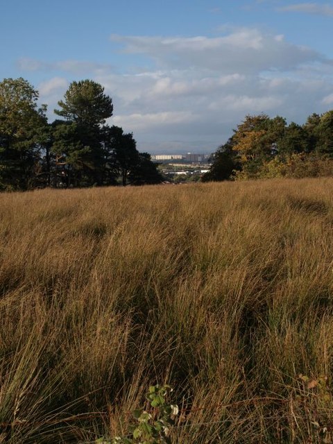
For outdoor enthusiasts, Crookfur offers various recreational opportunities. The nearby Rouken Glen Park is a popular destination, boasting beautiful gardens, woodland walks, and a large pond. The park also hosts events throughout the year, including fairs and concerts, attracting visitors from surrounding areas. Moreover, the area is surrounded by picturesque countryside, making it a great spot for nature lovers and hikers.
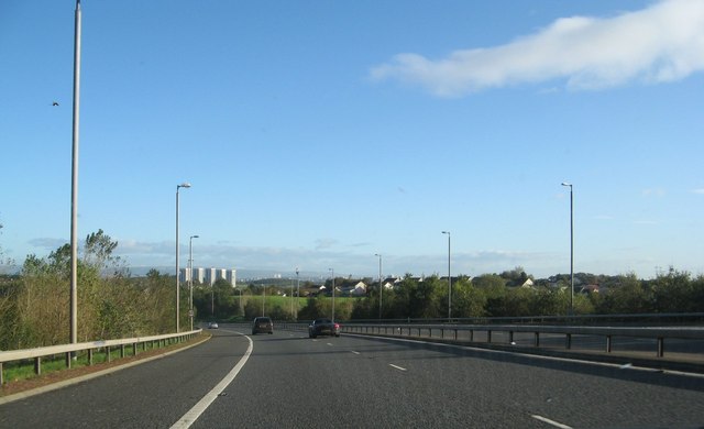
Transportation in Crookfur is well-served by several bus routes, providing connections to nearby towns and the city of Glasgow. The area is also easily accessible by car, with convenient links to major roads and motorways.
Overall, Crookfur offers a peaceful and family-friendly environment with a range of amenities and outdoor activities, making it a desirable place to live in Renfrewshire.
If you have any feedback on the listing, please let us know in the comments section below.
Crookfur Images
Images are sourced within 2km of 55.781321/-4.328849 or Grid Reference NS5456. Thanks to Geograph Open Source API. All images are credited.


Crookfur is located at Grid Ref: NS5456 (Lat: 55.781321, Lng: -4.328849)
Unitary Authority: East Renfrewshire
Police Authority: Greater Glasgow
What 3 Words
///punks.olive.hype. Near Newton Mearns, East Renfrewshire
Related Wikis
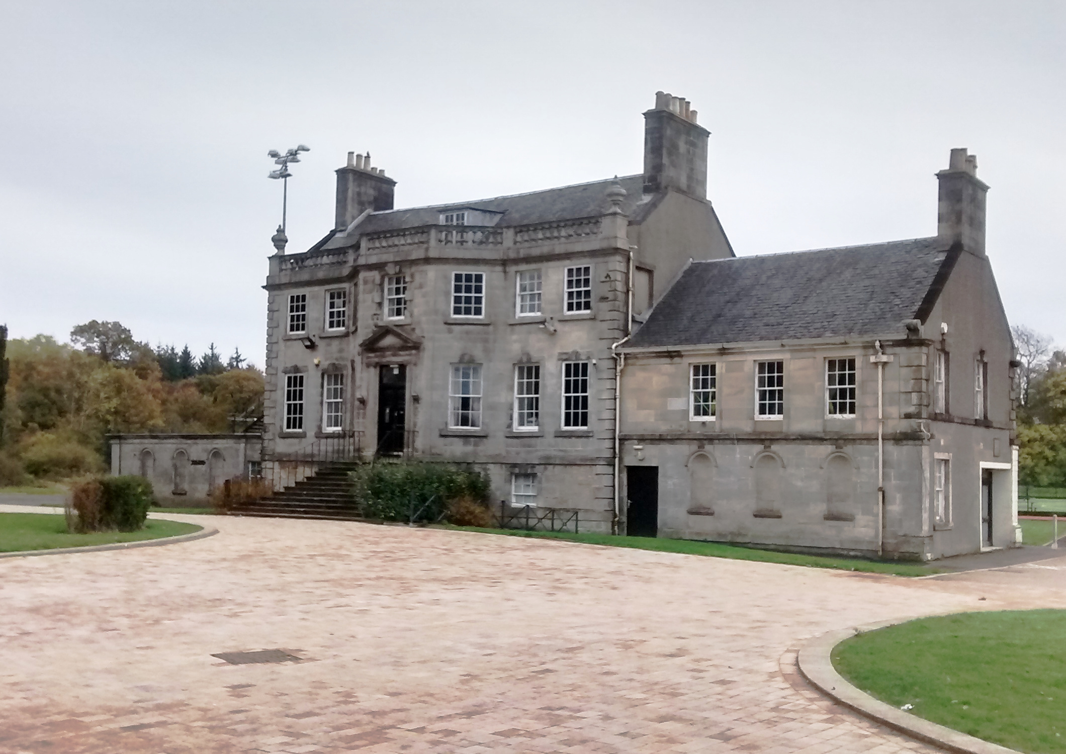
Capelrig House
Capelrig House is an 18th-century house in Newton Mearns, East Renfrewshire, Scotland, upon whose lands is situated Eastwood High School. The house is...

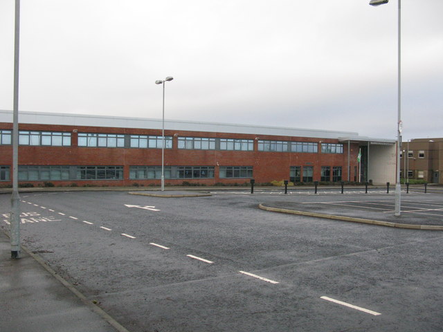
Eastwood High School, Newton Mearns
Eastwood High School is a comprehensive, non-denominational school located centrally in East Renfrewshire to the south of Glasgow, Scotland. It is one...
Glasgow Reform Synagogue
Glasgow Reform Synagogue is a synagogue in Newton Mearns, East Renfrewshire, Scotland. It is a member of the Movement for Reform Judaism and is the only...
Patterton
Patterton is an area of the town of Newton Mearns, East Renfrewshire and the Deaconsbank and Jennylind areas of Glasgow, Scotland. It is served by Patterton...
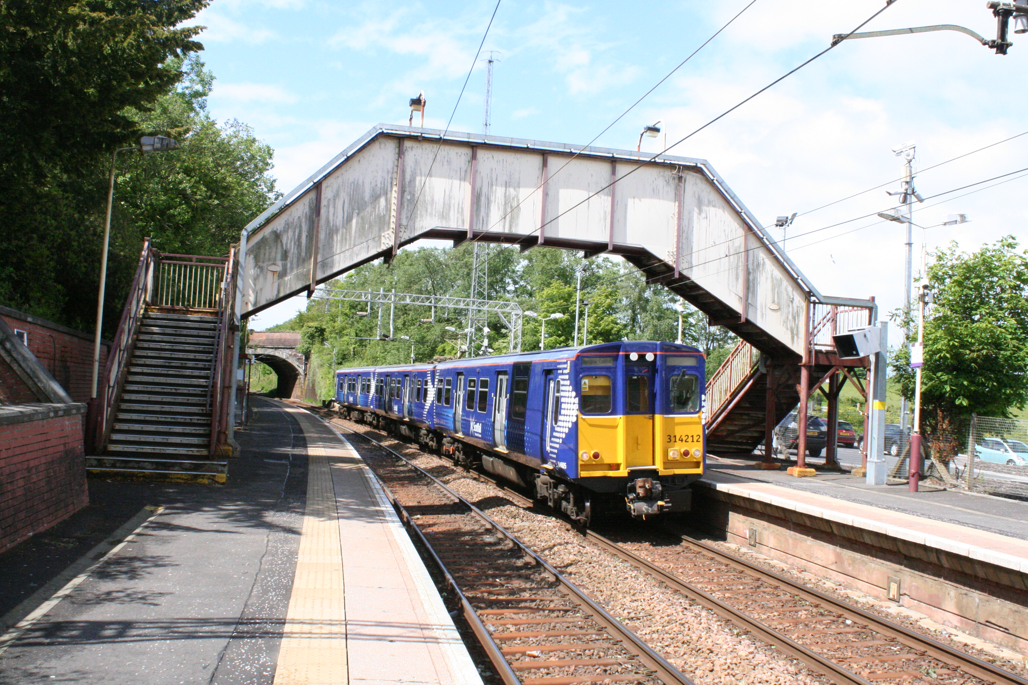
Patterton railway station
Patterton railway station is a railway station serving the Patterton, Crookfur and Greenlaw areas of the town of Newton Mearns, East Renfrewshire and the...

Newton Mearns
Newton Mearns (Scots: The Mearns; Scottish Gaelic: Baile Ùr na Maoirne [ˈpalə ˈuːɾ nə ˈmɯːrˠɲə]) is a suburban town and the largest settlement in East...
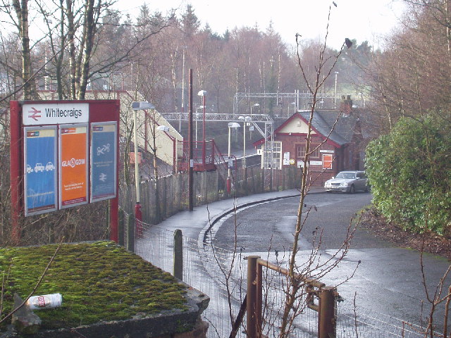
Whitecraigs railway station
Whitecraigs railway station is a railway station serving the Whitecraigs and Davieland areas of the towns of Giffnock and Newton Mearns, East Renfrewshire...
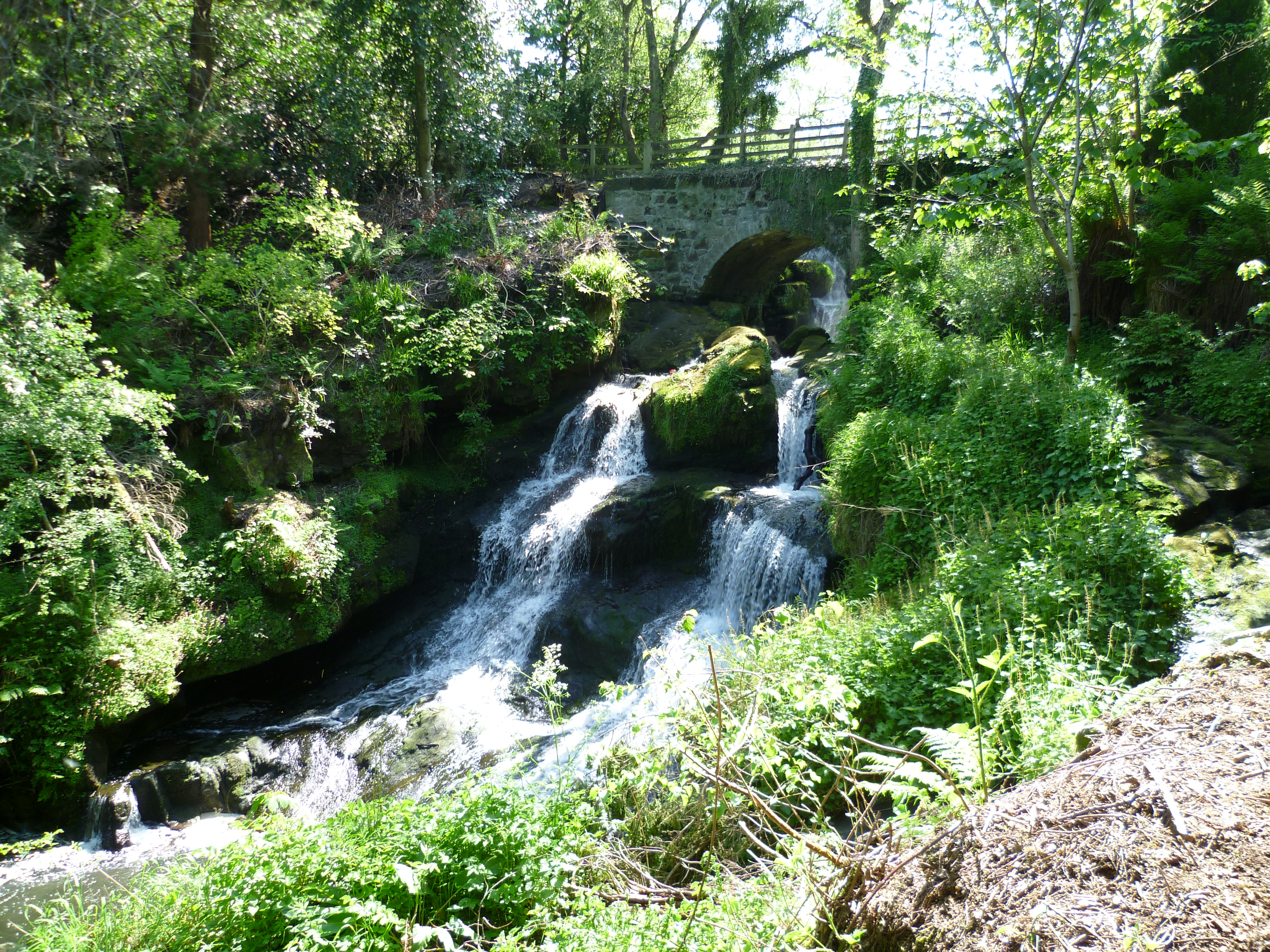
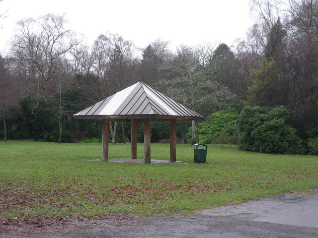
Rouken Glen Park
Rouken Glen Park is a public park in East Renfrewshire, to the south-west of Glasgow, Scotland. == History == The lands of Rouken Glen Park originally...
Nearby Amenities
Located within 500m of 55.781321,-4.328849Have you been to Crookfur?
Leave your review of Crookfur below (or comments, questions and feedback).