Broom
Settlement in Westmorland Eden
England
Broom
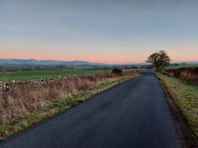
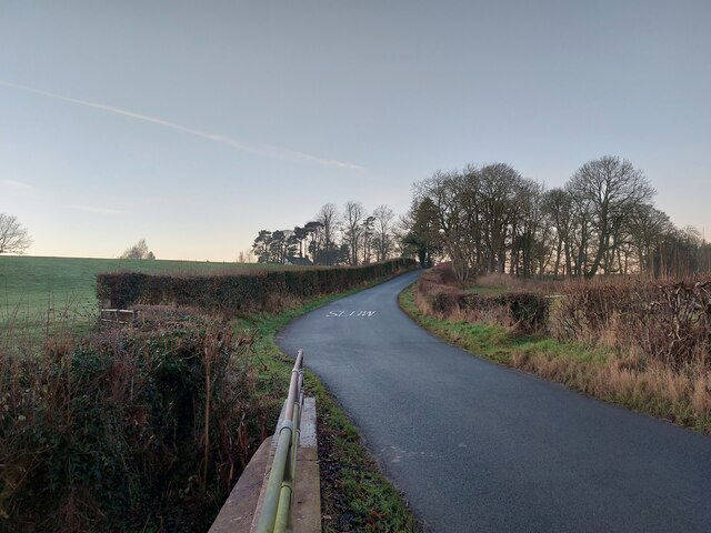
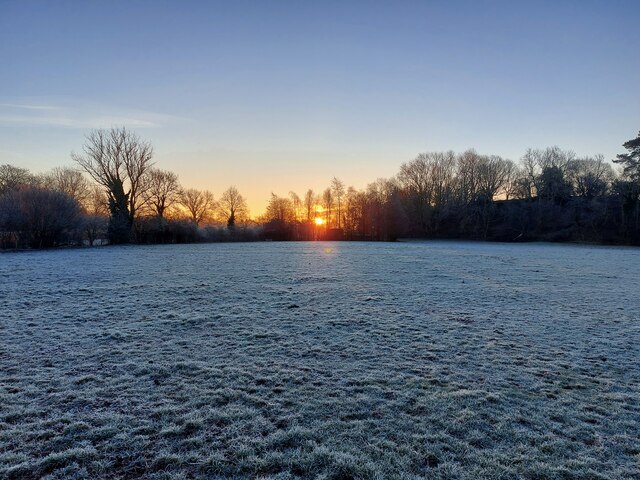
Broom is a small village located in the county of Westmorland in the northwest part of England. Situated within the Eden district, Broom is nestled in the picturesque countryside of the Lake District National Park. The village is surrounded by rolling green hills, quaint farmlands, and stunning natural beauty, making it an ideal destination for nature enthusiasts and those seeking a peaceful retreat.
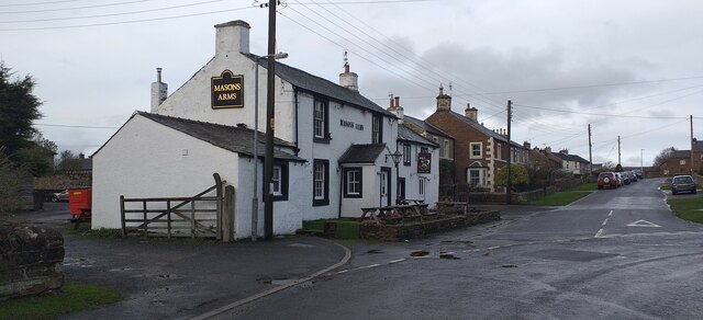
With a population of around 200 residents, Broom is a close-knit community that prides itself on its rich history and heritage. The village features a charming mix of traditional stone cottages, well-maintained gardens, and a scattering of local businesses. The local pub, The Broom Inn, is a popular gathering spot for both locals and visitors, offering a warm and welcoming atmosphere.
Broom is well-positioned for exploring the surrounding area, with a variety of outdoor activities available nearby. The village is just a short drive away from Lake Windermere, the largest lake in England, where visitors can partake in boating, fishing, and hiking. Additionally, the nearby town of Kendal, known as the gateway to the Lake District, offers a range of shops, restaurants, and cultural attractions.
In summary, Broom is a charming village in Westmorland that offers a tranquil and idyllic setting amidst the stunning landscapes of the Lake District. With its rich history, friendly community, and easy access to outdoor activities, Broom is a hidden gem for those seeking a quintessentially English countryside experience.
If you have any feedback on the listing, please let us know in the comments section below.
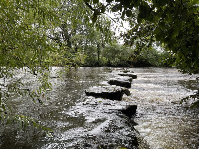
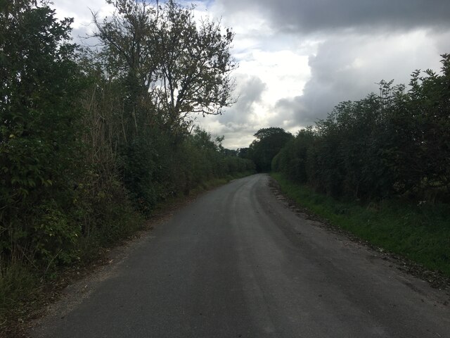
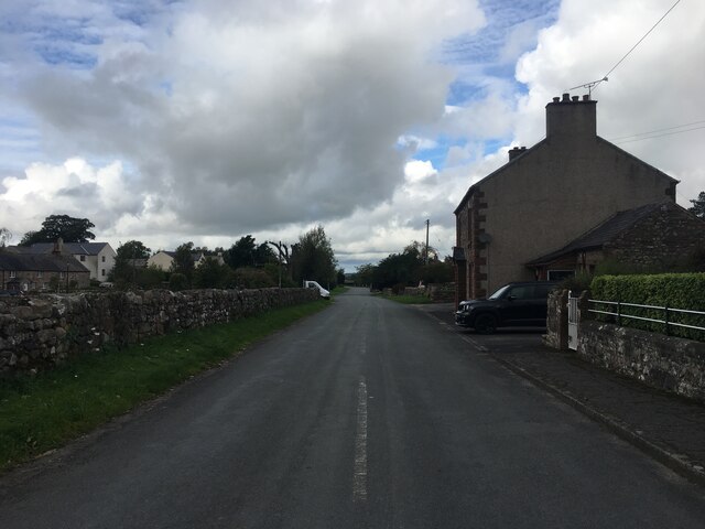
Broom Images
Images are sourced within 2km of 54.601022/-2.527804 or Grid Reference NY6623. Thanks to Geograph Open Source API. All images are credited.


Broom is located at Grid Ref: NY6623 (Lat: 54.601022, Lng: -2.527804)
Administrative County: Cumbria
District: Eden
Police Authority: Cumbria
What 3 Words
///arose.email.wings. Near Appleby-in-Westmorland, Cumbria
Nearby Locations
Related Wikis

Broom, Cumbria
Broom is a hamlet near the village of Long Marton, in the Eden district, in the county of Cumbria, England. == Location == It is located about two miles...
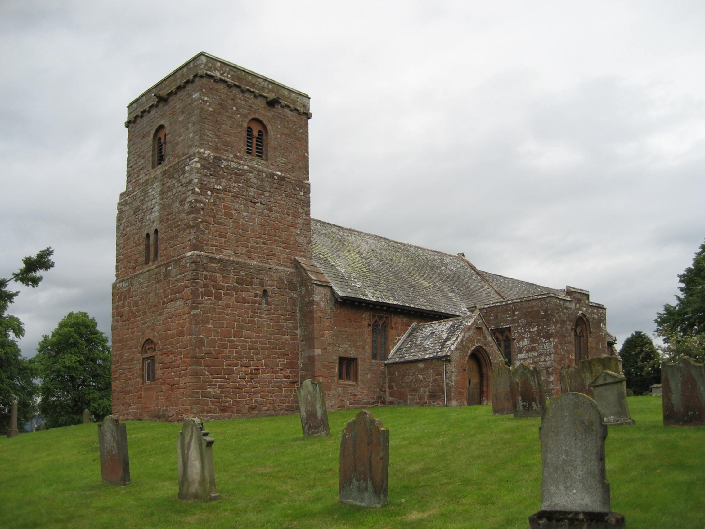
St Margaret and St James' Church, Long Marton
St Margaret and St James' Church is located about 0.5 miles (0.8 km) to the south of the village of Long Marton, Cumbria, England. It is an active Anglican...

North Westmorland Rural District
North Westmorland was a rural district in Westmorland, England from 1935 to 1974. It now forms part of the Eden district of Cumbria. It was formed in...

Brampton, Eden
Brampton is a village in the Eden district, in the county of Cumbria, England. Before 1974 it was in the county of Westmorland; the nearest town is Appleby...

Long Marton
Long Marton is a village and civil parish in the Eden District of the English county of Cumbria. In 2011 the population was 827. The village previously...

Long Marton railway station
Long Marton railway station was a railway station which served the village of Long Marton in Cumbria, England. Situated on the Settle-Carlisle Line, it...

All Saints Church, Bolton
All Saints Church is in the village of Bolton, Cumbria, England. It is an active Anglican parish church in the deanery of Appleby, the archdeaconry of...

Crackenthorpe
Crackenthorpe is a village and civil parish in the Eden District of Cumbria, England. It is about 12 miles (19 km) south east of Penrith. The village was...
Nearby Amenities
Located within 500m of 54.601022,-2.527804Have you been to Broom?
Leave your review of Broom below (or comments, questions and feedback).