Layer-de-la-Haye

Civil Parish in Essex Colchester

England

Layer-de-la-Haye

Abberton Reservoir from a permissive path; Near Layer-De-La Haye This section of the path I only discovered last Saturday. I was soon to find out that it ended on a "private" section of Fields Farm Road!
Abberton Reservoir from a permissive path; Near Layer-De-La Haye Credit: Mr James D

Layer-de-la-Haye is a civil parish located in the county of Essex, England. Situated approximately 3 miles south of Colchester, it covers an area of around 6.5 square miles. The parish is named after the de la Haye family who were landowners in the area during the medieval period.

The village of Layer-de-la-Haye is small and picturesque, with a population of around 1,000 residents. It is characterized by its charming thatched cottages and traditional English architecture. The village is surrounded by beautiful countryside, including farmland and woodland areas.

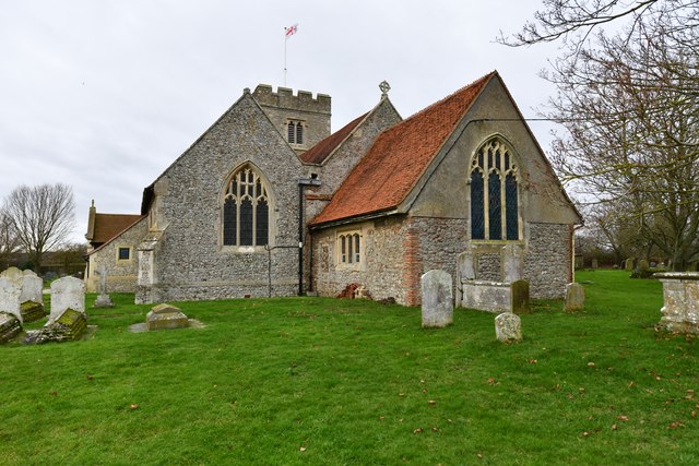
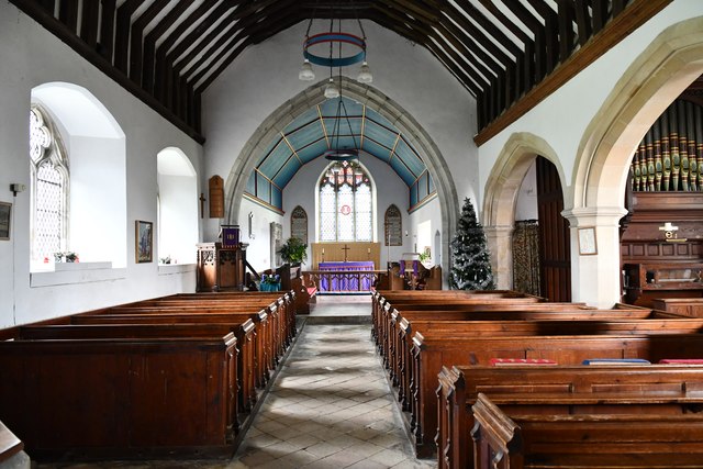
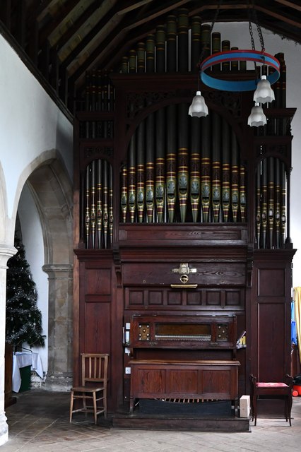
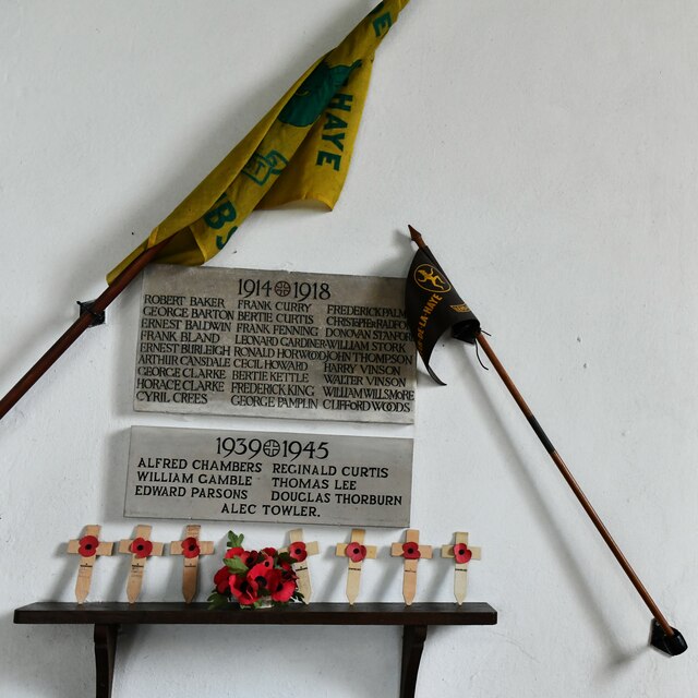
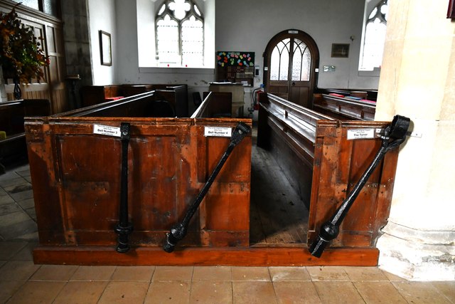
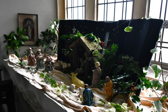
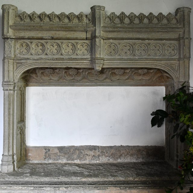
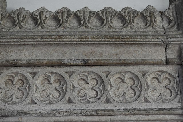
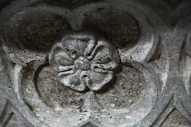
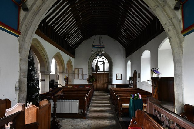
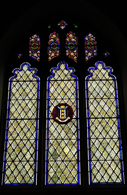
Layer-de-la-Haye is known for its rich history, dating back to Roman times. The nearby Roman River is a popular spot for walkers and nature enthusiasts, offering scenic views and wildlife sightings. The village also has a number of historic buildings, such as St. John the Baptist Church, which dates back to the 12th century.

Despite its rural setting, Layer-de-la-Haye benefits from excellent transport links. The A12 road runs nearby, providing easy access to Colchester and the wider region. The village is also served by regular bus services, connecting it to neighboring towns and villages.

In terms of amenities, Layer-de-la-Haye has a primary school, village hall, and a local pub. The village is close to several supermarkets and shops in nearby towns, ensuring residents have access to necessary services and facilities.

Overall, Layer-de-la-Haye offers a peaceful and idyllic setting, with a strong sense of community and a rich historical heritage.

If you have any feedback on the listing, please let us know in the comments section below.

Layer-de-la-Haye Images

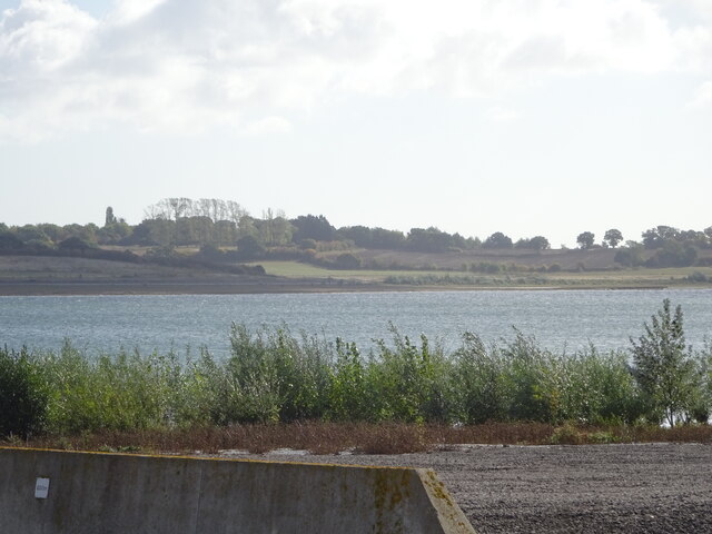
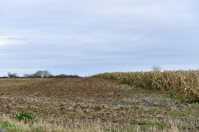
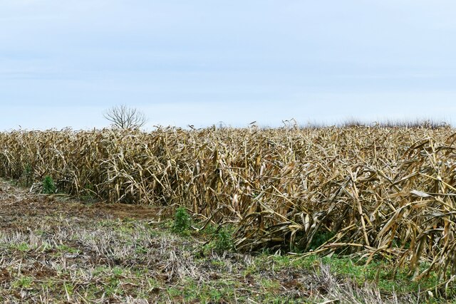
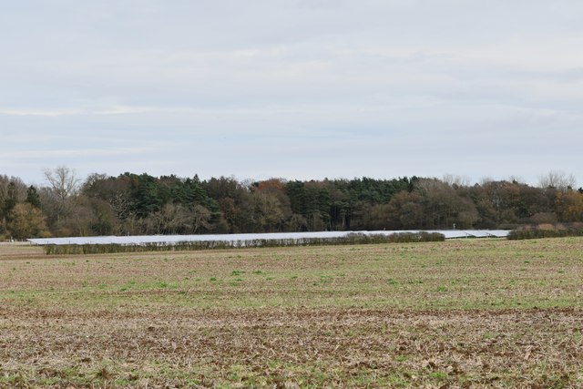
Images are sourced within 2km of 51.835149/0.857878 or Grid Reference TL9619. Thanks to Geograph Open Source API. All images are credited.

Abberton Reservoir from a permissive path; Near Layer-De-La Haye This section of the path I only discovered last Saturday. I was soon to find out that it ended on a "private" section of Fields Farm Road!
Abberton Reservoir from a permissive path; Near Layer-De-La Haye
This section of the path I only discovered last Saturday. I was soon to find out that it ended on a "private" section of Fields Farm Road!
Birch: Craxe's Green road junction
Birch: Unharvested maize crop
Birch: Harvested field
Layer de la Haye, St. John the Baptist's Church: Eastern aspect
Layer Breton: Abberton Reservoir
Layer de la Haye, St. John the Baptist's Church: The nave
Layer de la Haye, St. John the Baptist's Church: The organ
Layer de la Haye, St. John the Baptist's Church: Remembering those who died in the two World Wars
Layer de la Haye, St. John the Baptist's Church: Three bell clappers fixed to the bench ends
Layer de la Haye, St. John the Baptist's Church: Nativity scene
Layer de la Haye, St. John the Baptist's Church: Altar tomb of Thomas Tey and his wife, Jane
Layer de la Haye, St. John the Baptist's Church: Altar tomb of Thomas Tey and his wife, Jane (detail) 1
Layer de la Haye, St. John the Baptist's Church: Altar tomb of Thomas Tey and his wife, Jane (detail) 2
Layer de la Haye, St. John the Baptist's Church: The nave from the chancel
Layer de la Haye, St. John the Baptist's Church: Stained glass window 1
Layer de la Haye, St. John the Baptist's Church: Stained glass window 1 (detail)
Show me another place!

Layer-de-la-Haye is located at Grid Ref: TL9619 (Lat: 51.835149, Lng: 0.857878)

Administrative County: Essex

District: Colchester

Police Authority: Essex

What 3 Words

///soil.these.scuba. Near Layer de la Haye, Essex

Nearby Locations

Layer-de-la-Haye The Moors

Related Wikis

Layer de la Haye

Layer de la Haye (often spelled Layer-de-la-Haye; locally known just as Layer) is a village and civil parish in the City of Colchester district of Essex...
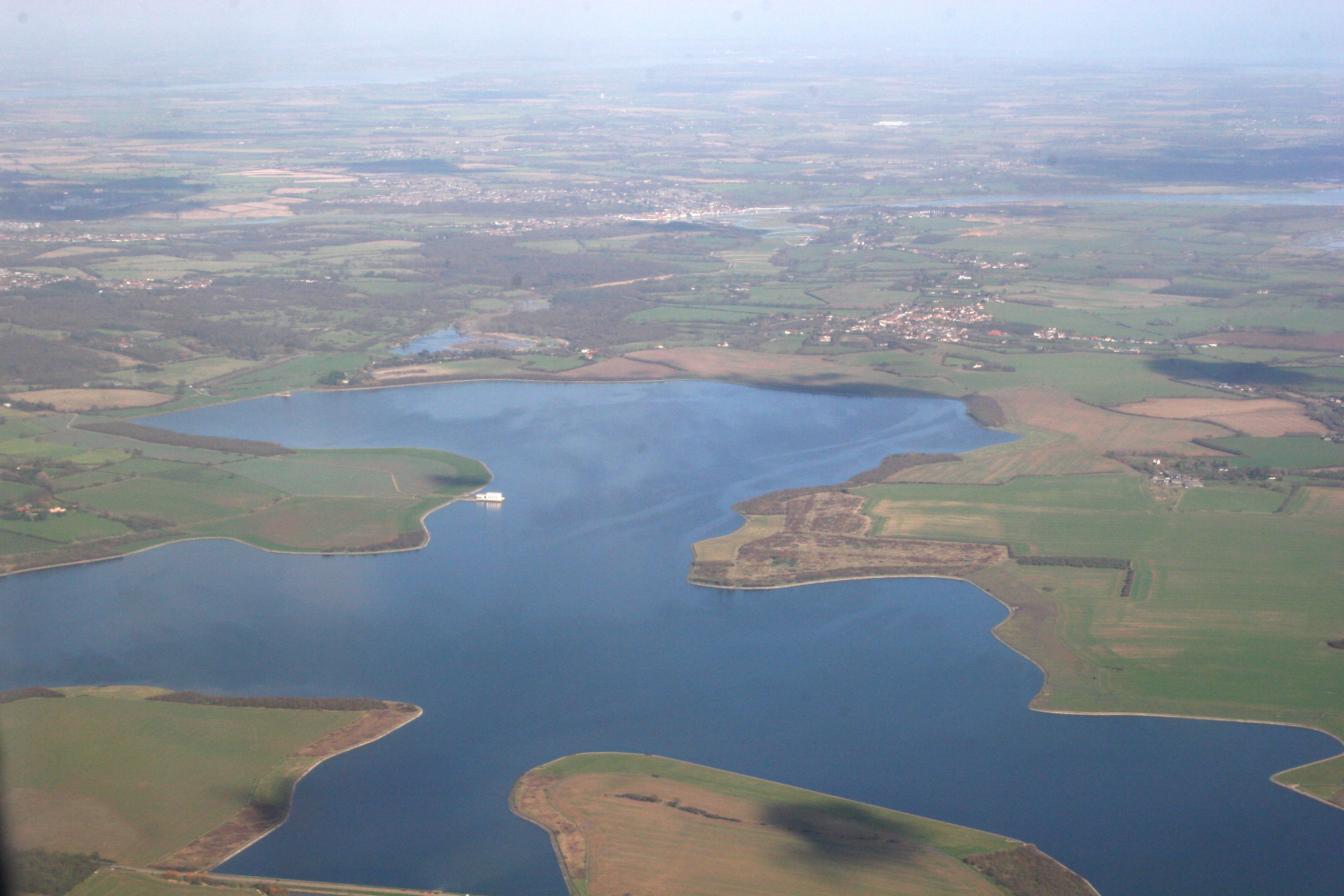
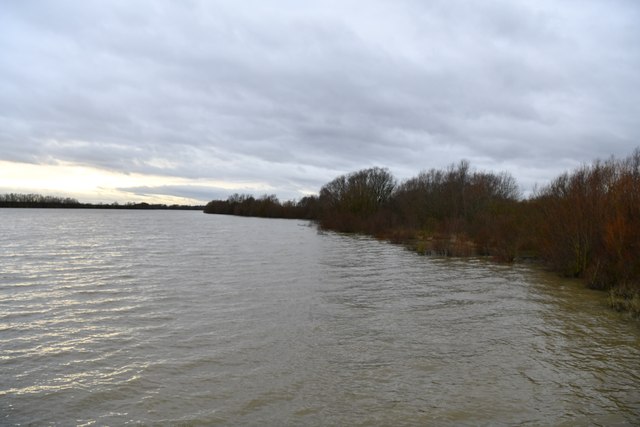
Abberton Reservoir

Abberton Reservoir is a pumped storage freshwater reservoir in eastern England near the Essex coast, with an area of 700 hectares (1,700 acres). Most of...

Roman River Valley

Roman River Valley is a 17.8-hectare (44-acre) nature reserve north of Layer de la Haye in Essex. It is managed by the Essex Wildlife Trust.This wetland...

Layer Breton

Layer Breton is a village and a civil parish in the City of Colchester district of Essex, England. According to the 2011 census there were 144 males and...

Nearby Amenities

Located within 500m of 51.835149,0.857878
Power: tower
Ref: PDE 69
Source Ref: interpolation
Lat/Long: 51.8341703/0.8523362
Power: tower
Ref: PDE 71
Source Ref: interpolation
Lat/Long: 51.8367323/0.8612143
Power: tower
Ref: PDE 70
Source Ref: interpolation
Lat/Long: 51.8353956/0.8566245
Power: tower
Lat/Long: 51.8389398/0.8559252
Power: tower
Lat/Long: 51.839305/0.8586042
Power: pole
Lat/Long: 51.8362068/0.8540207
Marker: aerial
Utility: gas
Lat/Long: 51.8339545/0.8522087
The data included in this document is from www.openstreetmap.org. The data is made available under ODbL.

Have you been to Layer-de-la-Haye?

Leave your review of Layer-de-la-Haye below (or comments, questions and feedback).