Layham
Civil Parish in Suffolk Babergh
England
Layham
Layham is a small civil parish located in the county of Suffolk, in the eastern part of England. Situated about 4 miles southwest of the town of Hadleigh, the parish covers an area of approximately 7 square kilometers. It is part of the Babergh district and falls within the parliamentary constituency of South Suffolk.
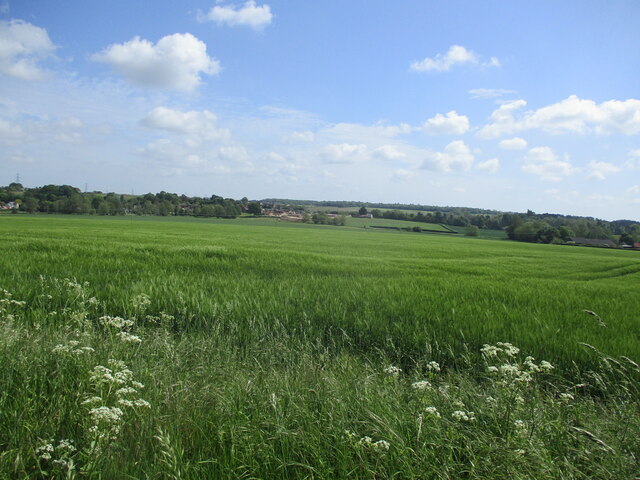
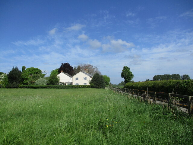
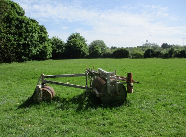
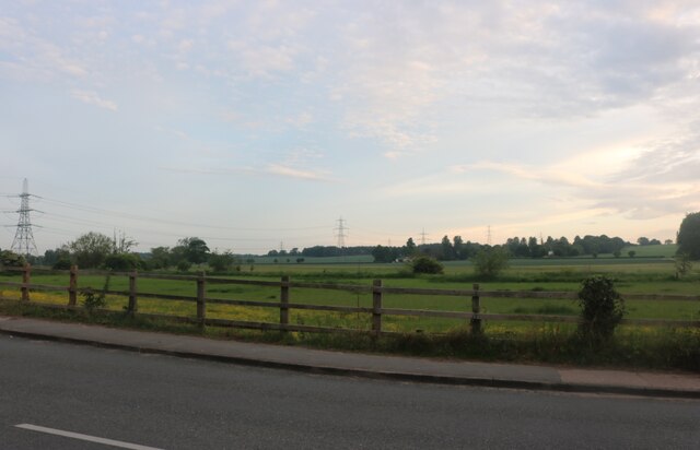
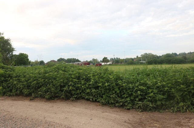
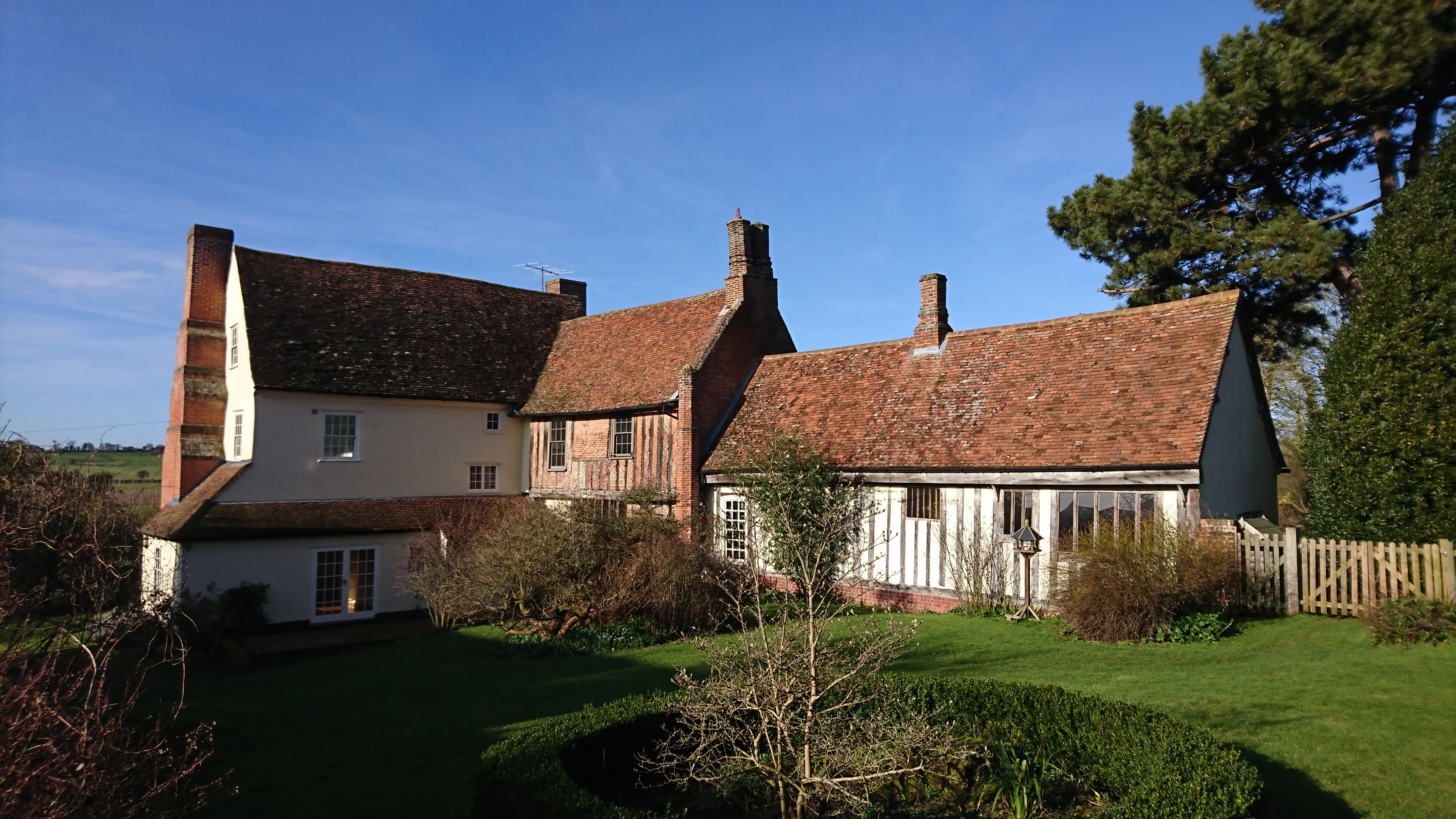
Layham is known for its picturesque rural surroundings, characterized by rolling hills, farmland, and charming countryside views. The parish is primarily agricultural in nature, with farming being the main occupation of the local population. The land is predominantly used for arable farming, with crops such as wheat, barley, and oilseed rape being cultivated.
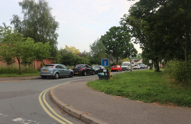
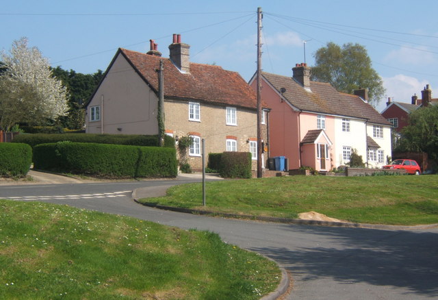
There are few amenities within the parish itself, with the nearest shops, schools, and healthcare facilities located in nearby towns and villages. However, Layham does have a village hall, which serves as a hub for community activities and events.
The parish is home to a close-knit community of residents who enjoy the tranquility and natural beauty of the area. It is a popular location for those seeking a rural lifestyle, away from the hustle and bustle of larger towns and cities. The village offers a peaceful and idyllic setting, making it an attractive place to live for those who appreciate the charms of the English countryside.
If you have any feedback on the listing, please let us know in the comments section below.
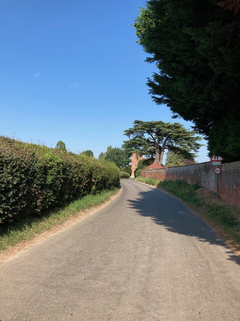
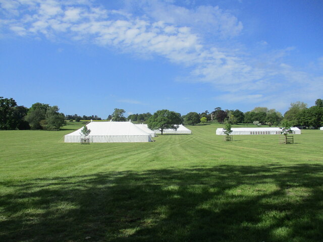
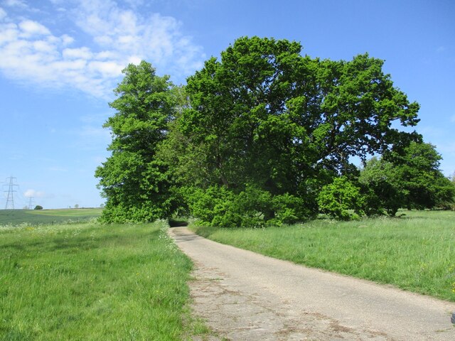
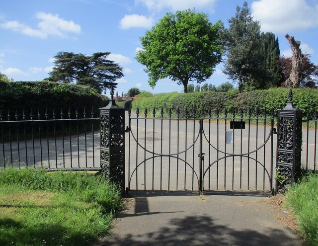
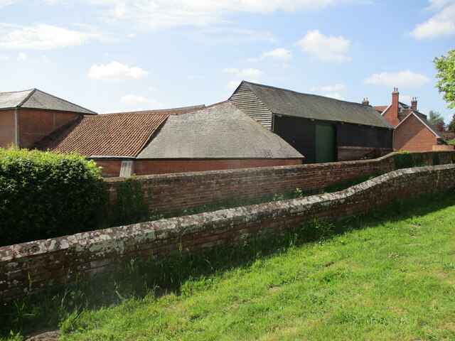
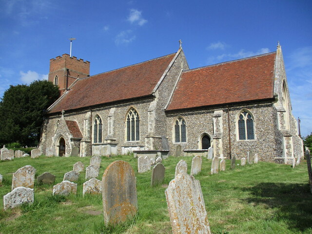
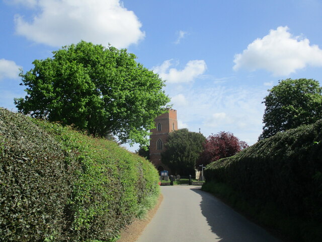
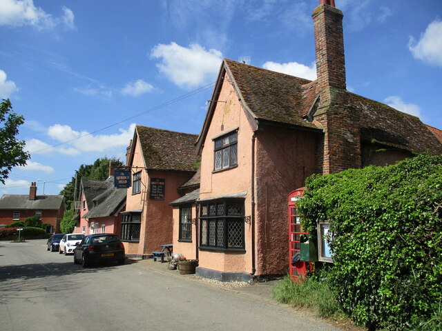
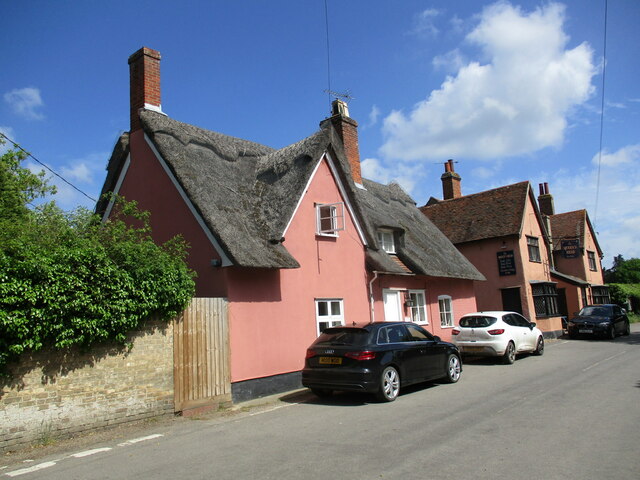
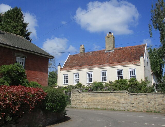
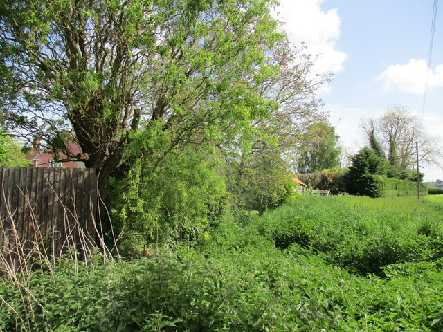
Layham Images
Images are sourced within 2km of 52.024926/0.942163 or Grid Reference TM0140. Thanks to Geograph Open Source API. All images are credited.
Layham is located at Grid Ref: TM0140 (Lat: 52.024926, Lng: 0.942163)
Administrative County: Suffolk
District: Babergh
Police Authority: Suffolk
What 3 Words
///crumble.apply.conspired. Near Hadleigh, Suffolk
Nearby Locations
Related Wikis
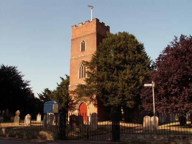
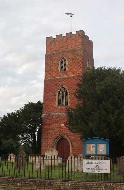
Lower Layham
Lower Layham is a small village in the civil parish of Layham, in the Babergh district, in the county of Suffolk, England. The village contains St.Andrew...
Upper Layham
Upper Layham is a village on the B1070 road, in the civil parish of Layham, in the Babergh district, in the county of Suffolk, England. Upper Layham has...
Layham
Layham is a small village and a civil parish in southern Suffolk, England, situated between the town of Hadleigh and the neighbouring village of Raydon...
Benton End
Benton End is a Grade II* listed sixteenth-century house located on the outskirts of the market town of Hadleigh in Suffolk, England. From 1939 to 1982...
Nearby Amenities
Located within 500m of 52.024926,0.942163Have you been to Layham?
Leave your review of Layham below (or comments, questions and feedback).