Layer Marney

Civil Parish in Essex Colchester

England

Layer Marney

Birch: Very boggy field and practically full drainage channel
Birch: Very boggy field and practically full drainage channel Credit: Michael Garlick

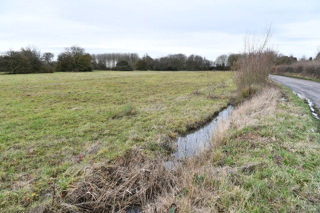
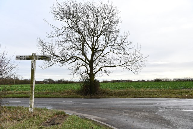
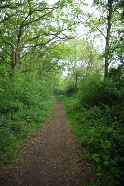
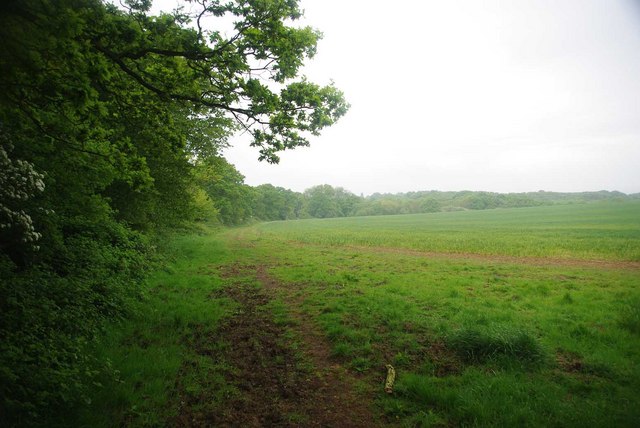
Layer Marney is a civil parish located in the county of Essex, England. Situated approximately seven miles southeast of Colchester, it covers an area of around 2,000 acres and has a population of around 400 residents. The village itself is nestled in the beautiful countryside, surrounded by farmland and picturesque landscapes.

One of the prominent features in Layer Marney is the Layer Marney Tower, a historic Tudor building that dates back to the early 16th century. The tower, which stands at 80 feet tall, is a testament to the grandeur and opulence of the Tudor era. It is renowned for its stunning architecture, intricate brickwork, and panoramic views of the surrounding countryside.

The village also boasts a medieval church, St. Mary the Virgin, which is believed to have been built in the 14th century. The church is a prominent landmark and a testament to the rich history of the area. It features beautiful stained glass windows, intricate woodwork, and a peaceful atmosphere that draws visitors and locals alike.

In terms of amenities, Layer Marney has a village hall and a local pub, providing a sense of community and social gathering spaces for residents. The village is also well-connected, with good road links to nearby towns and villages, making it an attractive place to live for those seeking a peaceful rural lifestyle while still having access to essential services.

Overall, Layer Marney is a charming and historic village in Essex, offering a glimpse into England's rich past and providing a tranquil setting for its residents.

If you have any feedback on the listing, please let us know in the comments section below.
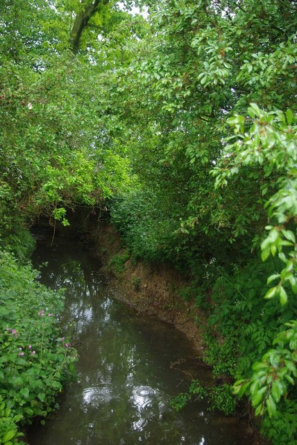
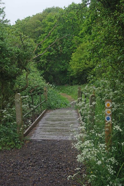
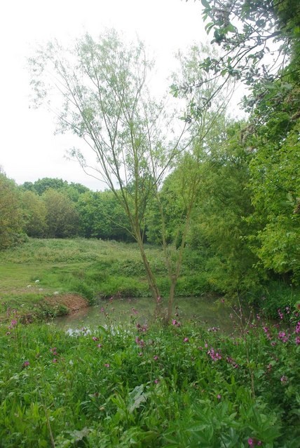
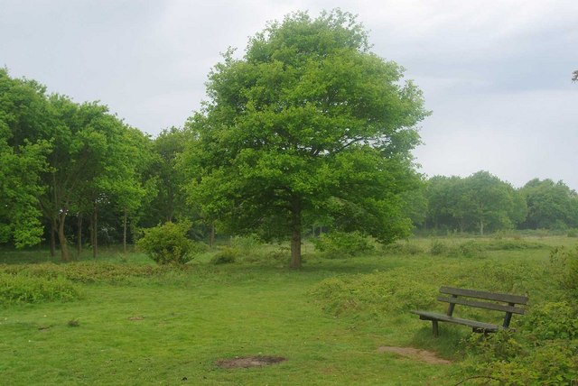
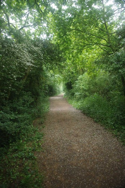
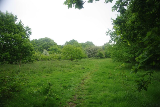
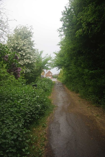
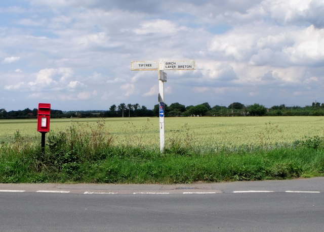
Layer Marney Images

Images are sourced within 2km of 51.820108/0.791779 or Grid Reference TL9217. Thanks to Geograph Open Source API. All images are credited.

Birch: Very boggy field and practically full drainage channel
Birch: B1022 junction
Layer Marney Tower.  Essex The magnificent Tudor gatehouse of this renowned Essex Mansion, built by Henry, the first Lord Marney, who never lived to see its completion.
Layer Marney Tower. Essex
The magnificent Tudor gatehouse of this renowned Essex Mansion, built by Henry, the first Lord Marney, who never lived to see its completion.
Bridle Path to Tiptree This Bridle Path connects Park Lane in Tolleshunt Knights with <a href="https://www.geograph.org.uk/photo/2403260">TL9115 : Tiptree Parish Field</a>
Bridle Path to Tiptree
This Bridle Path connects Park Lane in Tolleshunt Knights with TL9115 : Tiptree Parish Field
A Damp Morning Near Patternoster Heath A little further along the <a href="https://www.geograph.org.uk/photo/2403191">TL9115 : Bridle Path to Tiptree</a> and my waterproofs got tested.
A Damp Morning Near Patternoster Heath
A little further along the TL9115 : Bridle Path to Tiptree and my waterproofs got tested.
Layer Brook Layer Brook marks the southern boundary to <a href="https://www.geograph.org.uk/photo/2403260">TL9115 : Tiptree Parish Field</a>
Layer Brook
Layer Brook marks the southern boundary to TL9115 : Tiptree Parish Field
Footbridge Near Tiptree Parish Field This bridge over Layer Brook carries the <a href="https://www.geograph.org.uk/photo/2403191">TL9115 : Bridle Path to Tiptree</a> the Parish Field is behind the trees
Footbridge Near Tiptree Parish Field
This bridge over Layer Brook carries the TL9115 : Bridle Path to Tiptree the Parish Field is behind the trees
Pond in Tiptree Parish Field This pond is fed by <a href="https://www.geograph.org.uk/photo/2403213">TL9115 : Layer Brook</a>. <a href="https://www.geograph.org.uk/photo/2403260">TL9115 : Tiptree Parish Field</a> was declared as a local nature reserve in 1999 <span class="nowrap"><a title="http://www.wildessex.net/sites/Tiptree%20Parish%20Field.htm" rel="nofollow ugc noopener" href="http://www.wildessex.net/sites/Tiptree%20Parish%20Field.htm">Link</a><img style="margin-left:2px;" alt="External link" title="External link - shift click to open in new window" src="https://s1.geograph.org.uk/img/external.png" width="10" height="10"/></span> it is managed by Tiptree Council <span class="nowrap"><a title="http://www.english-nature.org.uk/Special/lnr/lnr_details.asp?C=0&N=&ID=1486" rel="nofollow ugc noopener" href="http://www.english-nature.org.uk/Special/lnr/lnr_details.asp?C=0&N=&ID=1486">Link</a><img style="margin-left:2px;" alt="External link" title="External link - shift click to open in new window" src="https://s1.geograph.org.uk/img/external.png" width="10" height="10"/></span>
Pond in Tiptree Parish Field
This pond is fed by TL9115 : Layer Brook. TL9115 : Tiptree Parish Field was declared as a local nature reserve in 1999 LinkExternal link it is managed by Tiptree Council LinkExternal link
Tiptree Parish Field Declared as a nature reserve in 1999 the Parish Field is rich in wild flowers. see
<span class="nowrap"><a title="http://www.wildessex.net/sites/Tiptree%20Parish%20Field.htm" rel="nofollow ugc noopener" href="http://www.wildessex.net/sites/Tiptree%20Parish%20Field.htm">Link</a><img style="margin-left:2px;" alt="External link" title="External link - shift click to open in new window" src="https://s1.geograph.org.uk/img/external.png" width="10" height="10"/></span> & <span class="nowrap"><a title="http://www.english-nature.org.uk/Special/lnr/lnr_details.asp?C=0&N=&ID=1486" rel="nofollow ugc noopener" href="http://www.english-nature.org.uk/Special/lnr/lnr_details.asp?C=0&N=&ID=1486">Link</a><img style="margin-left:2px;" alt="External link" title="External link - shift click to open in new window" src="https://s1.geograph.org.uk/img/external.png" width="10" height="10"/></span>
Tiptree Parish Field
Declared as a nature reserve in 1999 the Parish Field is rich in wild flowers. see LinkExternal link & LinkExternal link
Bridleway Beside Tiptree Parish Field The bridleway just cuts the north east corner of the grid square
Bridleway Beside Tiptree Parish Field
The bridleway just cuts the north east corner of the grid square
Tiptree Parish Field (North End) <a href="https://www.geograph.org.uk/photo/2403260">TL9115 : Tiptree Parish Field</a> has been a nature reserve since 1999 it is managed by the Parish Council see <span class="nowrap"><a title="http://www.wildessex.net/sites/Tiptree%20Parish%20Field.htm" rel="nofollow ugc noopener" href="http://www.wildessex.net/sites/Tiptree%20Parish%20Field.htm">Link</a><img style="margin-left:2px;" alt="External link" title="External link - shift click to open in new window" src="https://s1.geograph.org.uk/img/external.png" width="10" height="10"/></span> for more info
Tiptree Parish Field (North End)
TL9115 : Tiptree Parish Field has been a nature reserve since 1999 it is managed by the Parish Council see LinkExternal link for more info
End of the Bridleway This is the end of the bridleway from Tolleshunt Knights
End of the Bridleway
This is the end of the bridleway from Tolleshunt Knights
Horse and cattle grid, Layer Marney
Layer Marney Tower, Essex
Black sheep, Layer Marney
Postbox and signpost, Layer Marney
A very overgrown rampart The rampart is a deep ditch dug by the Romans. It was used to defend the Romans from another army.
A very overgrown rampart
The rampart is a deep ditch dug by the Romans. It was used to defend the Romans from another army.
Wheat field near Layer Lakes In winter this is just grass.
Wheat field near Layer Lakes
In winter this is just grass.
Show me another place!

Layer Marney is located at Grid Ref: TL9217 (Lat: 51.820108, Lng: 0.791779)

Administrative County: Essex

District: Colchester

Police Authority: Essex

What 3 Words

///digital.infringe.restless. Near Tolleshunt Knights, Essex

Related Wikis

Layer Marney Tower

Layer Marney Tower is an incomplete early Tudor country house, with gardens and parkland, dating from about 1523, in Layer Marney, Essex, England, between...

Layer Marney

Layer Marney is a village and civil parish in the City of Colchester district of Essex, England, near Tiptree. Layer Marney has a Tudor palace called Layer...

Smythe's Green

Smythe's Green is a hamlet on the B1022 road, in the Colchester district, in the county of Essex, England. It is located in between the villages of Tiptree...

Layer Breton

Layer Breton is a village and a civil parish in the City of Colchester district of Essex, England. According to the 2011 census there were 144 males and...

Nearby Amenities

Located within 500m of 51.820108,0.791779
Fountain
Lat/Long: 51.8221529/0.7969431
The data included in this document is from www.openstreetmap.org. The data is made available under ODbL.

Have you been to Layer Marney?

Leave your review of Layer Marney below (or comments, questions and feedback).