Brooks End
Settlement in Kent Thanet
England
Brooks End

Brooks End is a small village located in the county of Kent, England. Situated near the town of Ashford, it is nestled amidst the picturesque countryside that characterizes the region. The village is home to a population of approximately 500 residents.
Brooks End boasts a tranquil and idyllic setting, with rolling green fields, charming cottages, and a peaceful atmosphere. It is surrounded by natural beauty, with the nearby Brooks River running through the village, providing a serene spot for locals and visitors to enjoy.
Despite its small size, Brooks End offers a range of amenities and facilities for its residents. The village has a primary school, a post office, and a local convenience store, ensuring that essential services are easily accessible to the community. Additionally, there is a village hall that serves as a hub for various social activities and events.
The village is also known for its strong sense of community. Residents often come together to organize events such as fairs, festivals, and charity fundraisers, fostering a close-knit and supportive environment.
For those seeking recreational activities, the surrounding countryside offers ample opportunities for outdoor pursuits. Walking and cycling trails are abundant, allowing visitors to explore the scenic landscapes and enjoy the fresh air.
Brooks End's proximity to Ashford provides further amenities and conveniences, including shopping centers, restaurants, and transport links. This makes the village an ideal location for those seeking a blend of rural tranquility and urban accessibility.
In conclusion, Brooks End is a charming village in Kent, known for its natural beauty, strong community spirit, and convenient location. It offers a peaceful and picturesque lifestyle for its residents, making it an attractive place to live or visit.
If you have any feedback on the listing, please let us know in the comments section below.
Brooks End Images
Images are sourced within 2km of 51.36471/1.291932 or Grid Reference TR2968. Thanks to Geograph Open Source API. All images are credited.


Brooks End is located at Grid Ref: TR2968 (Lat: 51.36471, Lng: 1.291932)
Administrative County: Kent
District: Thanet
Police Authority: Kent
What 3 Words
///club.unfit.reinvest. Near Birchington-on-Sea, Kent
Nearby Locations
Related Wikis

Brooks End
Brooks End is a hamlet assimilated with Birchington, in Kent, England, and 1 mile (2 km) southwest of the village's centre. It is in the Thanet local government...
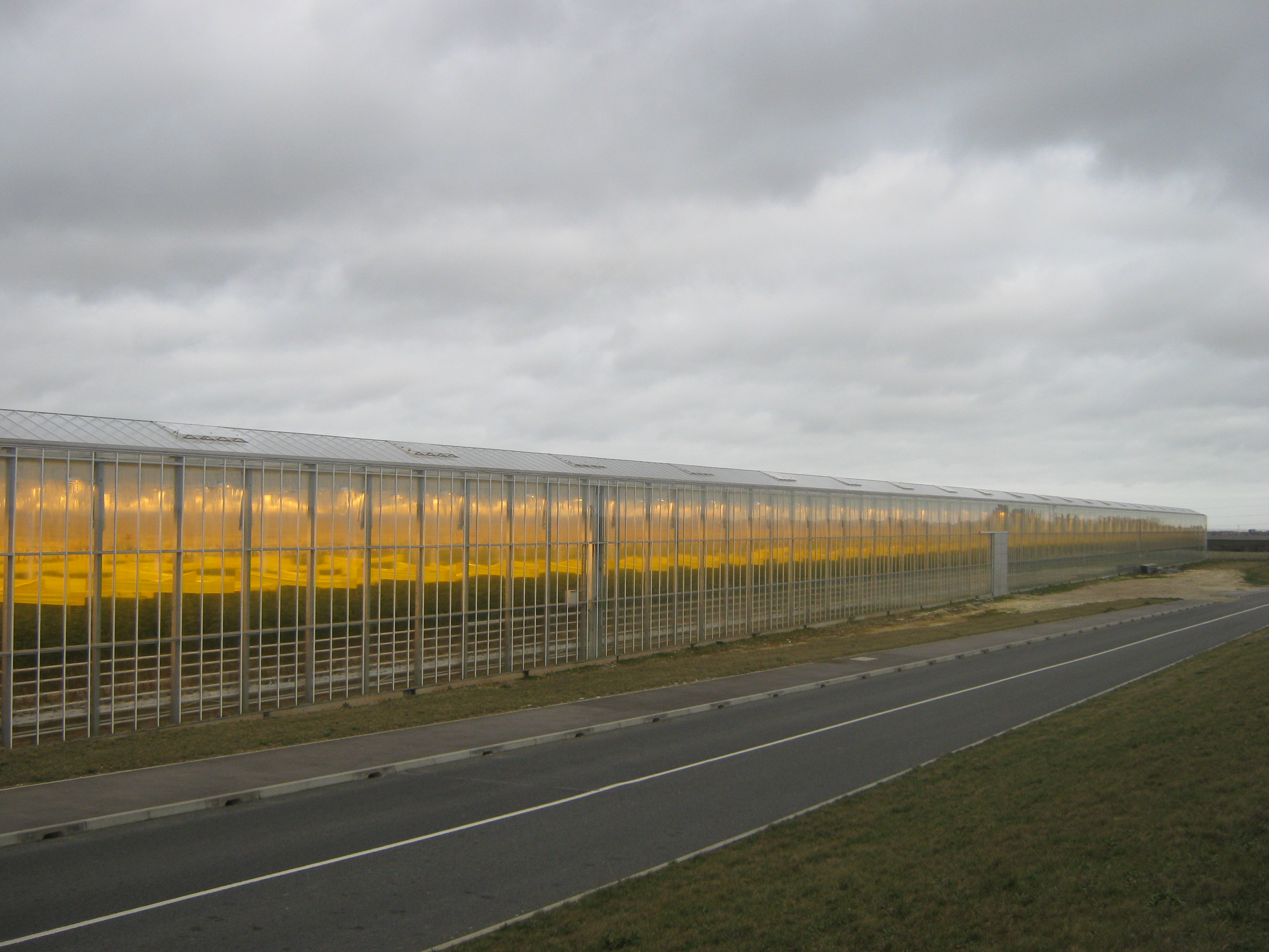
Thanet Earth
Thanet Earth is a large industrial agriculture and plant factory project consortium on the Isle of Thanet in Kent, England. It is the largest greenhouse...
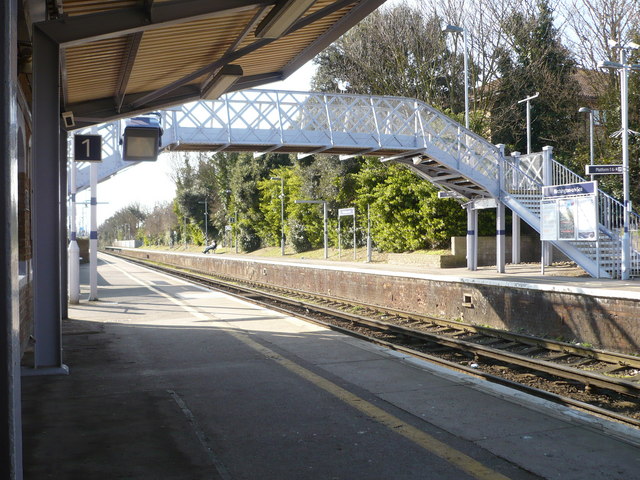
Birchington-on-Sea railway station
Birchington-on-Sea railway station is on the Chatham Main Line in England, serving the village of Birchington-on-Sea, Kent. It is 70 miles 56 chains (113...

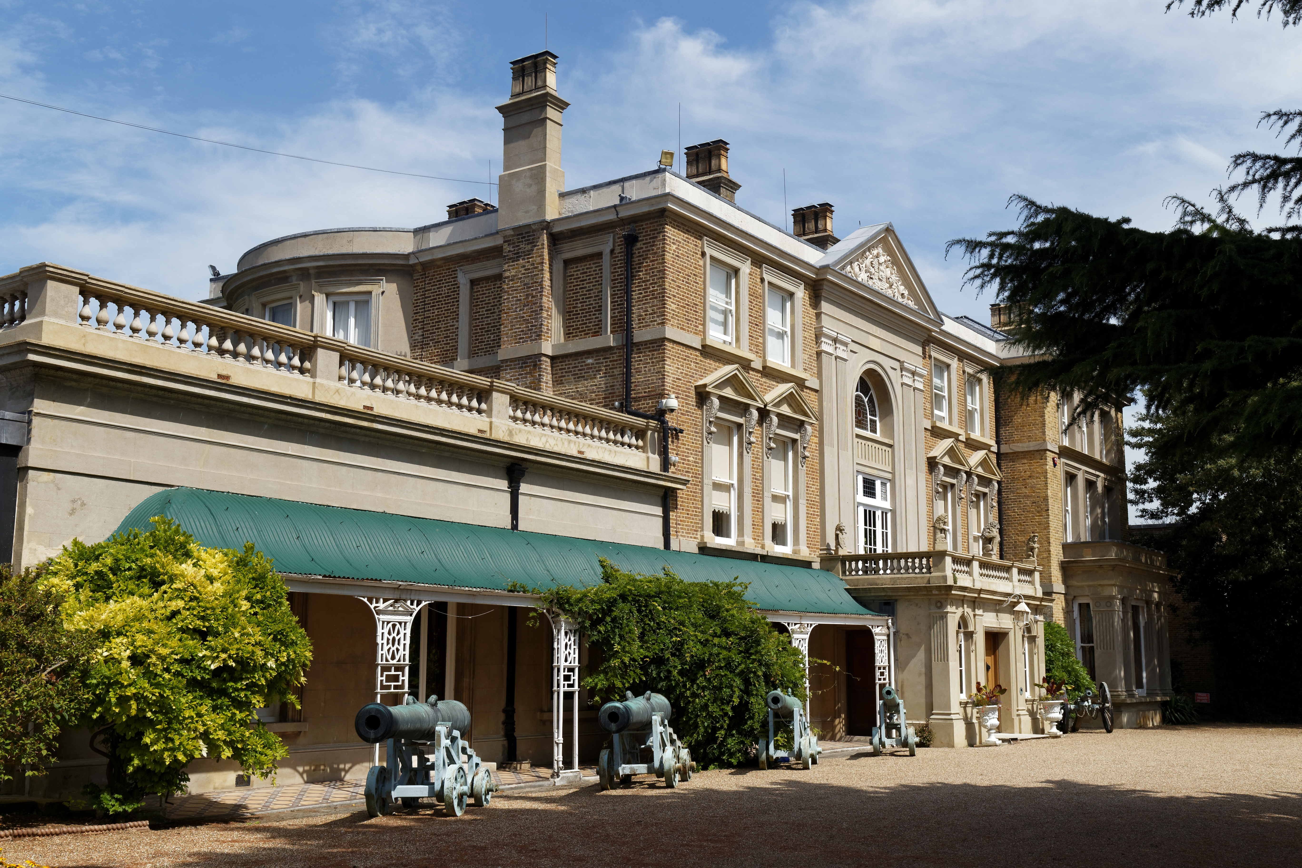
Powell-Cotton Museum
The Powell-Cotton Museum is situated in Quex Park, Birchington, Kent and houses the diverse personal collections of hunter and explorer Percy Powell-Cotton...
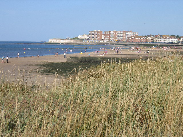
Birchington-on-Sea
Birchington-on-Sea is a village in the Thanet district in Kent, England, with a population of 9,961. The village forms part of the civil parish of Birchington...

Acol, Kent
Acol (formerly Acholt) is a hamlet and civil parish in the Thanet District of Kent, England, about 1.5 miles (2.4 km) south of Birchington. It is one of...

Thanet Coast
Thanet Coast is an 816.9-hectare (2,019-acre) biological and geological Site of Special Scientific Interest which stretches along the coast between Whitstable...
Quex Park
Quex Park itself is 250 acres (1.0 km2) of parkland and gardens plus a further 1500 acres of farmed land, with Quex House and other buildings situated...
Related Videos

Minnis Bay & Birchington on Sea, a Walking History Tour Guide Using Postcards Kent UK
Minnis Bay & Birchington on Sea, Kent, UK, A walking history tour guide using old postcards. Would really appreciate it if you ...

St Nicholas at Wade, Village, a Walking History Tour Guide Using Postcards Kent UK
St Nicholas-at-Wade Village, Kent, UK, A walking history tour guide using old postcards. Would really appreciate it if you ...
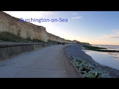
Travel to Burchington-On-Sea
A beautiful day trip around Kent.

Birchington to Margate Beach Walk: Exploring the Coastal Beauty of England | Walk Guide 🇬🇧
Discover the scenic beauty of the Birchington to Margate Beach walk along the stunning coastline of England. This walk guide ...
Nearby Amenities
Located within 500m of 51.36471,1.291932Have you been to Brooks End?
Leave your review of Brooks End below (or comments, questions and feedback).