Brooks Green

Settlement in Sussex Horsham

England

Brooks Green

Rear of house on Marlpost Road The house is called "Woodlands" according to the large-scale map. This is also a cross-grid shot. The camera was just in the square to the west.
Rear of house on Marlpost Road Credit: Ian Cunliffe

Brooks Green is a small village located in the Horsham District of West Sussex, England. Situated approximately 4 miles south of Horsham town center, it is nestled in a picturesque rural setting with a population of around 500 residents.

The village is known for its quaint charm and tranquil atmosphere, making it an ideal place for those seeking a peaceful and idyllic countryside lifestyle. Surrounded by lush green fields and rolling hills, Brooks Green offers stunning views and ample opportunities for outdoor activities such as hiking, cycling, and horse riding.

Despite its small size, the village has a strong sense of community, with various social clubs and organizations catering to residents of all ages. The local primary school, Brooks Green Primary School, is highly regarded for its excellent academic standards and nurturing environment.

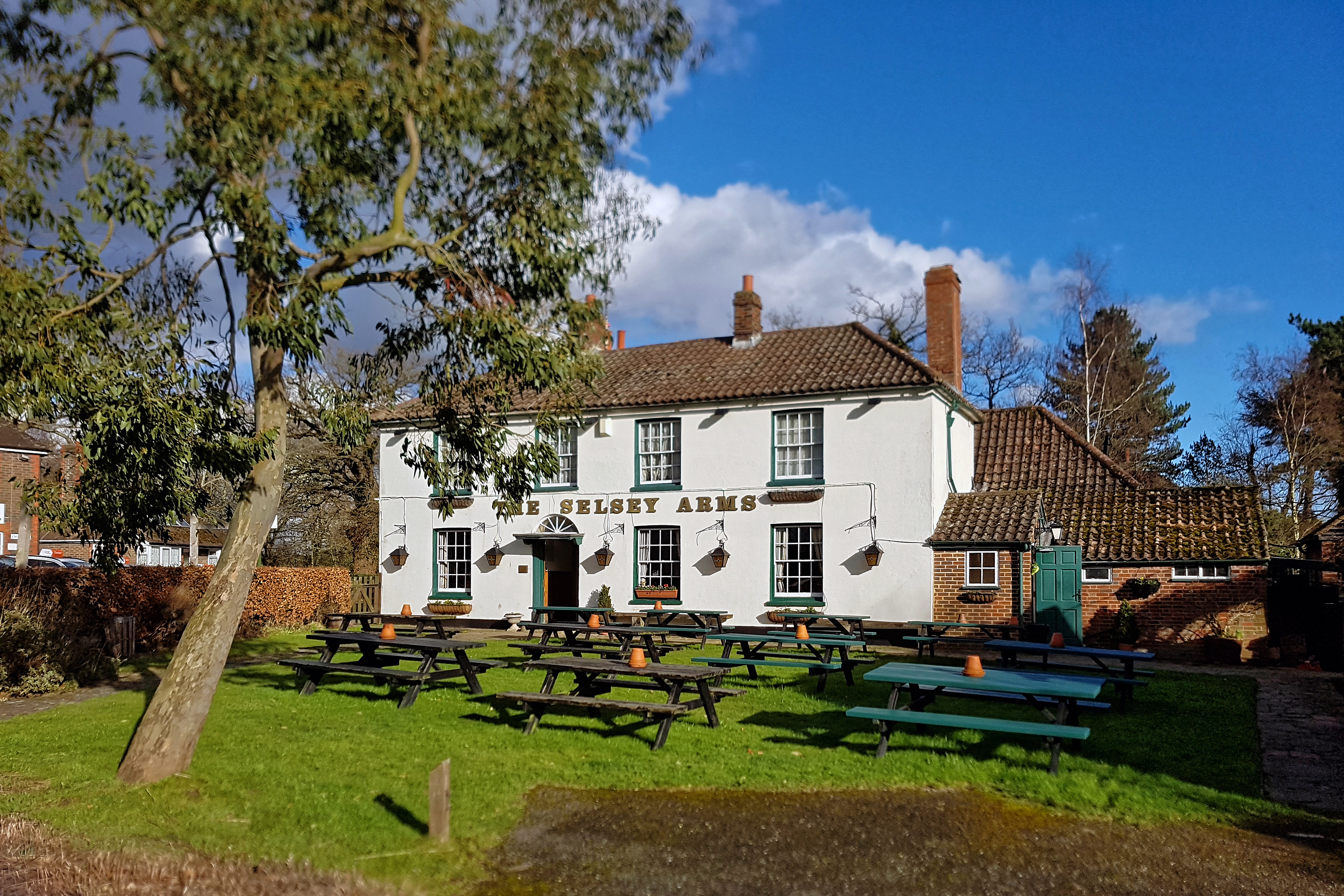
Amenities in the village include a village hall, a church, and a pub, which serves as a hub for locals to gather and socialize. For more extensive shopping and leisure facilities, residents can easily access the nearby town of Horsham, which offers a wide range of amenities, including supermarkets, restaurants, and entertainment venues.

Brooks Green benefits from its convenient location with excellent transportation links. The A24 road runs nearby, providing easy access to major cities such as London and Brighton. Additionally, the Horsham railway station is just a short drive away, offering regular train services to various destinations.

Overall, Brooks Green offers a serene and close-knit community, surrounded by beautiful countryside, while still providing convenient access to nearby towns and cities.

If you have any feedback on the listing, please let us know in the comments section below.
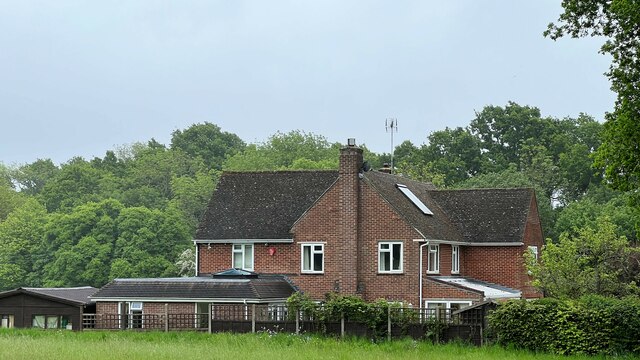
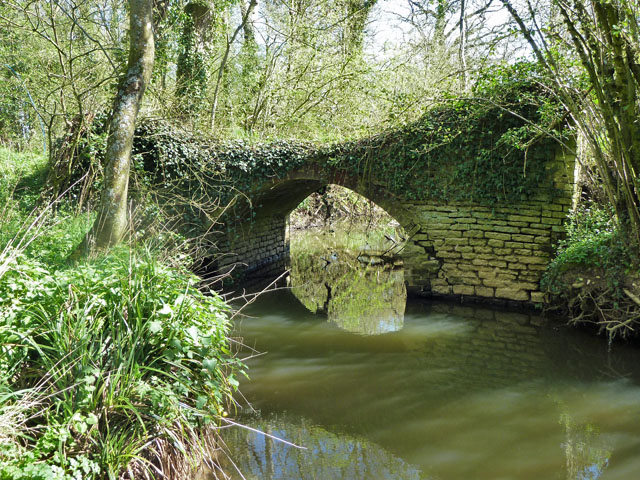
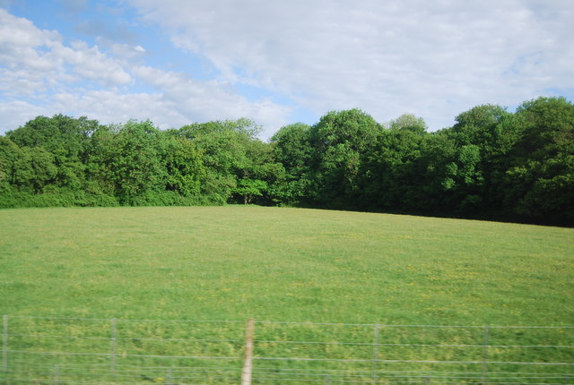
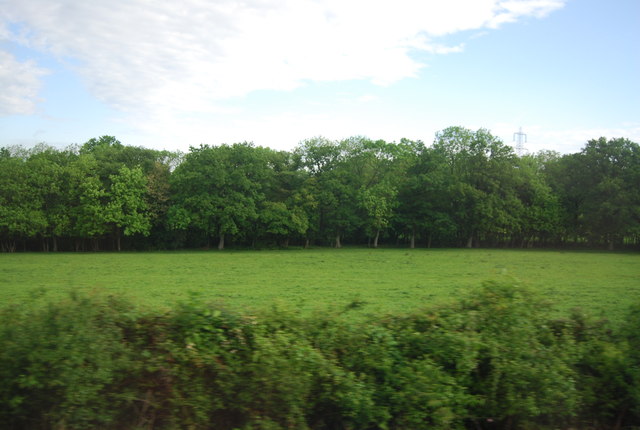
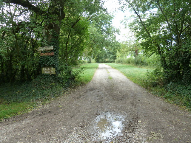
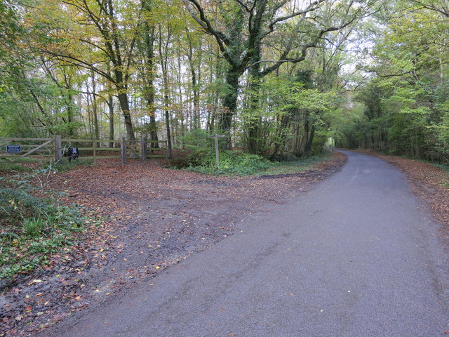
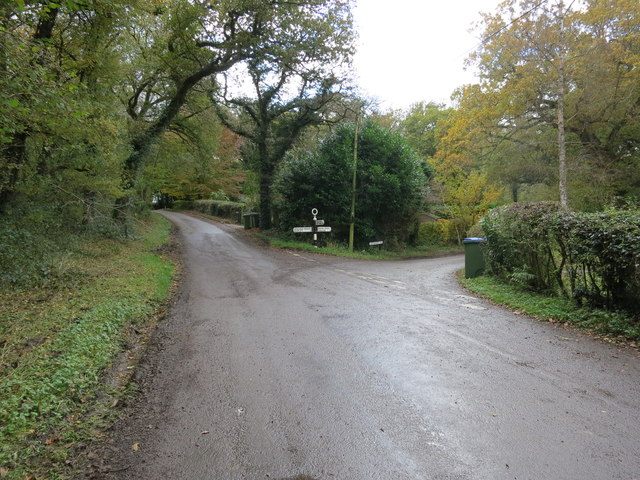
Brooks Green Images

Images are sourced within 2km of 51.016649/-0.397532 or Grid Reference TQ1225. Thanks to Geograph Open Source API. All images are credited.

Rear of house on Marlpost Road The house is called "Woodlands" according to the large-scale map. This is also a cross-grid shot. The camera was just in the square to the west.
Rear of house on Marlpost Road
The house is called "Woodlands" according to the large-scale map. This is also a cross-grid shot. The camera was just in the square to the west.
View north across fields west of Madgeland Farm It had begun to rain lightly when I took this shot.
View north across fields west of Madgeland Farm
It had begun to rain lightly when I took this shot.
Crumbling bridge This bridge carrying a farm track and Bridleway 1911 over a young River Adur could be in better repair.
Crumbling bridge
This bridge carrying a farm track and Bridleway 1911 over a young River Adur could be in better repair.
An empty manger Over the hedge from West Chiltington Lane.
An empty manger
Over the hedge from West Chiltington Lane.
Blackthorn blossom by the junction Looking back from the start of the eastern section of footpath 1921, where it leaves bridleway 1918. The western section of 1921 leaves the bridleway just through the gate.
Blackthorn blossom by the junction
Looking back from the start of the eastern section of footpath 1921, where it leaves bridleway 1918. The western section of 1921 leaves the bridleway just through the gate.
Swifts Farm by the railway Viewed from bridge TBH1 371. TBH stands for Three Bridges to Havant, the 1 being the section prior to Arundel Junction North. The next station in this direction is Billingshurst.
Swifts Farm by the railway
Viewed from bridge TBH1 371. TBH stands for Three Bridges to Havant, the 1 being the section prior to Arundel Junction North. The next station in this direction is Billingshurst.
The River Adur near Rowfold Farm In its early stages, it continues on to become the western arm of the River Adur.
The River Adur near Rowfold Farm
In its early stages, it continues on to become the western arm of the River Adur.
Bridleway bridge near Rowfold Farm
Rail bridge over the River Adur The bridge carries the section of line between Billinghurst and Horsham.
Rail bridge over the River Adur
The bridge carries the section of line between Billinghurst and Horsham.
Lambs near Barns Green
Level crossing, Emms Lane
Valewood Farmhouse Grade II listed.  <span class="nowrap"><a title="http://www.britishlistedbuildings.co.uk/en-299292-valewood-itchingfield" rel="nofollow ugc noopener" href="http://www.britishlistedbuildings.co.uk/en-299292-valewood-itchingfield">Link</a><img style="margin-left:2px;" alt="External link" title="External link - shift click to open in new window" src="https://s1.geograph.org.uk/img/external.png" width="10" height="10"/></span>
Valewood Farmhouse
Grade II listed. LinkExternal link
Horses in a field near Grassy Copse
Field by the Arun Valley Line
Footpath 1904/2 to Emms Farm and Courtlands Farm
Bridleway BW3214/1 Crosses Marlpost Road into Marlpost Wood
Bridleway BW3214/1
Crosses Marlpost Road into Marlpost Wood
Lane Junction Oldhouse Lane, Lackenhurst Lane and Baker's Lane
Lane Junction
Oldhouse Lane, Lackenhurst Lane and Baker's Lane
Show me another place!

Brooks Green is located at Grid Ref: TQ1225 (Lat: 51.016649, Lng: -0.397532)

Administrative County: West Sussex

District: Horsham

Police Authority: Sussex

What 3 Words

///crumbles.grinning.tribune. Near Southwater, West Sussex

Nearby Locations

Brooks Green

Related Wikis

Brooks Green

Brooks Green is a hamlet in the Shipley civil parish of the Horsham District of West Sussex, England. It is in the north-west of the parish, approximately...

Billingshurst (electoral division)

Billingshurst is an electoral division of West Sussex in the United Kingdom and returns one member to sit on West Sussex County Council. == Extent == The...

Parson's Brook

Parson's Brook is a minor river (brook) located in the Horsham District of West Sussex, England. It is a tributary to the River Adur. == Course == The...

Newbuildings Place

Newbuildings Place is a 17th-century Artisan Mannerist house near Shipley, West Sussex. The house is a former home of Wilfrid Scawen Blunt, who is buried...

Barns Green

Barns Green is a village in the Horsham district of West Sussex, England. It lies on the Billingshurst to Itchingfield road 2+1⁄2 miles (4.0 km) north...

Coneyhurst

Coneyhurst is a hamlet in the Horsham District of West Sussex, England. It lies on the A272 road 1.6 miles (2.5 km) southeast of Billingshurst (where the...

Coneyhurst Cutting

Coneyhurst Cutting is a 0.2-hectare (0.49-acre) geological Site of Special Scientific Interest south-east of Billingshurst in West Sussex. It is a Geological...

Coolham

Coolham is a small village in the civil parish of Shipley and the Horsham District of West Sussex, England. It is located at the crossroads of the A272...

Nearby Amenities

Located within 500m of 51.016649,-0.397532
Bus Stop
Caravan Park
Naptan AtcoCode: 4400HR0293
Naptan Bearing: S
Naptan CommonName: Caravan Park
Naptan Indicator: opp caravan park
Naptan Landmark: Caravan Park
Naptan NaptanCode: wsxawamj
Naptan Street: Emms Lane
Naptan Verified: no
Source: naptan_import
Lat/Long: 51.0171803/-0.3922871
Bus Stop
Coolham Road junction
Naptan AtcoCode: 4400HR0295
Naptan Bearing: E
Naptan CommonName: Coolham Road junction
Naptan Indicator: opp Dunnocks
Naptan Landmark: Coolham Road junction
Naptan NaptanCode: wsxawamt
Naptan Street: Emms Lane
Naptan Verified: no
Source: naptan_import
Lat/Long: 51.0131043/-0.3933544
Brook Farm
Place: farm
Lat/Long: 51.0167521/-0.3954976
Wedgewood Farm
Place: isolated_dwelling
Lat/Long: 51.0161095/-0.3956384
Bouges Farm
Place: isolated_dwelling
Lat/Long: 51.0159665/-0.397849
Brooks Green
Place: hamlet
Wikidata: Q4975003
Lat/Long: 51.016795/-0.3937843
Courtlands Farm
Place: isolated_dwelling
Lat/Long: 51.018418/-0.3952723
Emms Farm
Place: farm
Lat/Long: 51.0191941/-0.3967967
Power: pole
Lat/Long: 51.0148013/-0.3998445
Power: pole
Lat/Long: 51.0149616/-0.4014359
Power: pole
Lat/Long: 51.0147173/-0.4019911
Power: pole
Lat/Long: 51.0147176/-0.3989057
Brooks Green House
Place: isolated_dwelling
Lat/Long: 51.014396/-0.392021
Power: pole
Lat/Long: 51.0122892/-0.3970755
The data included in this document is from www.openstreetmap.org. The data is made available under ODbL.

Have you been to Brooks Green?

Leave your review of Brooks Green below (or comments, questions and feedback).