Brooks Bank
Settlement in Yorkshire
England
Brooks Bank
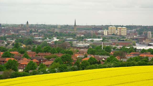
Brooks Bank is a small village located in the county of Yorkshire, England. Situated in the picturesque countryside, it is nestled between rolling hills and surrounded by lush green fields. The village is part of the larger district of Craven and falls within the administrative boundaries of North Yorkshire.
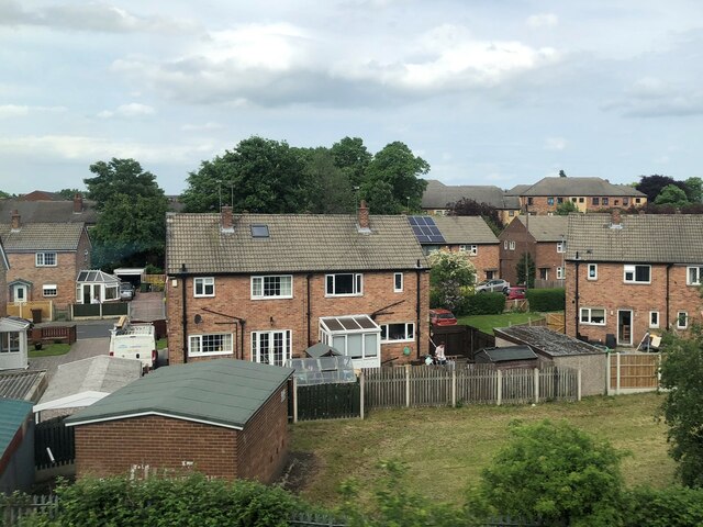
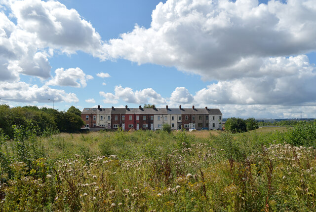
With a population of approximately 500 residents, Brooks Bank exudes a peaceful and tranquil atmosphere. The village is primarily residential, consisting of charming cottages and a few local amenities. The heart of the community can be found at the village square, where the historic St. Mary's Church stands proudly. This beautiful stone church dates back to the 12th century and serves as a focal point for local religious activities.
Despite its small size, Brooks Bank boasts a strong sense of community. Residents often come together for various events and social gatherings, such as the annual summer fair and Christmas market. The village also has a vibrant local pub, The Brooks Arms, which serves as a meeting place for locals and visitors alike.
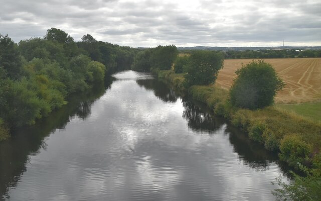
Surrounded by stunning natural beauty, Brooks Bank offers ample opportunities for outdoor activities. The village is located near the Yorkshire Dales National Park, providing access to scenic hiking trails, picturesque valleys, and breathtaking vistas. The nearby River Wharfe is a popular spot for fishing and leisurely walks along its banks.
In summary, Brooks Bank is a charming and idyllic village in Yorkshire, renowned for its peaceful ambiance, historic church, close-knit community, and proximity to the stunning Yorkshire Dales National Park.
If you have any feedback on the listing, please let us know in the comments section below.
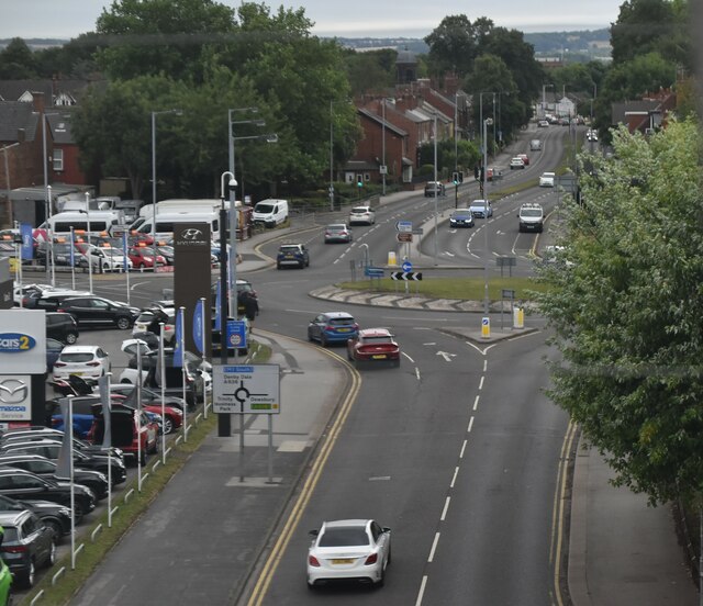
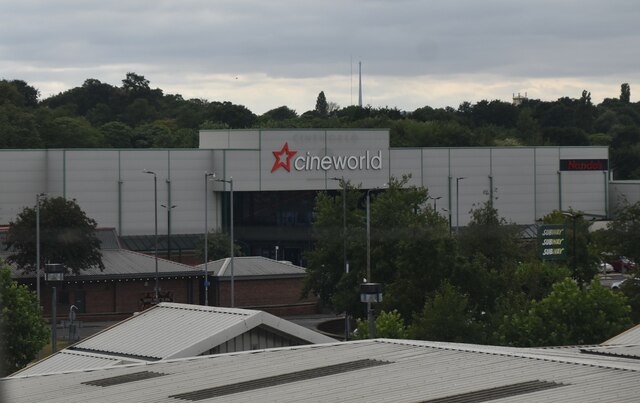
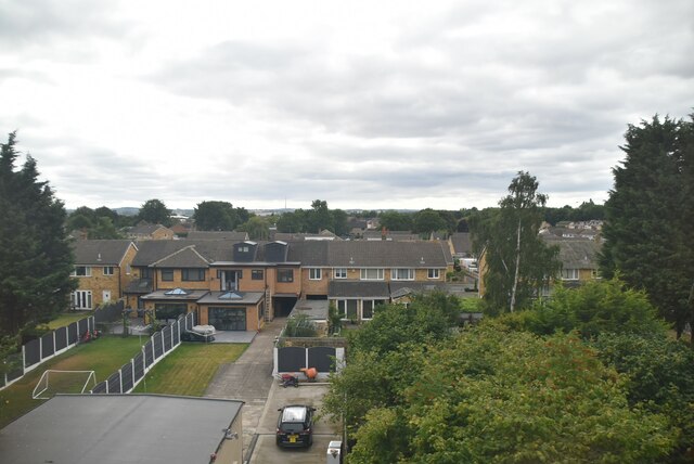
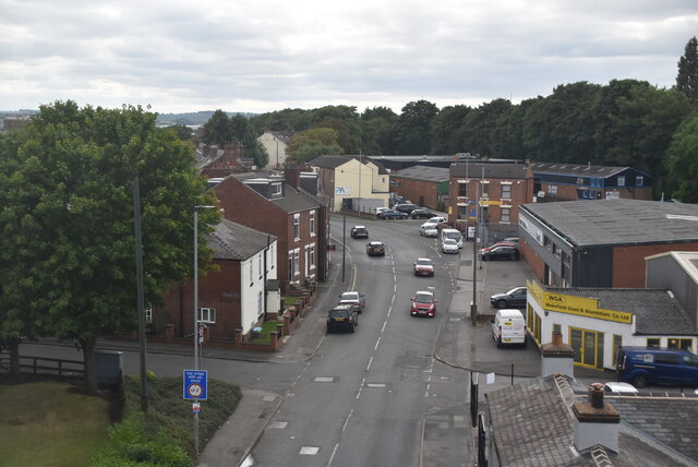
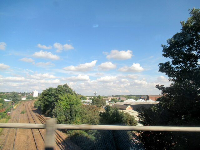
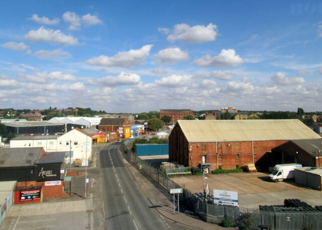
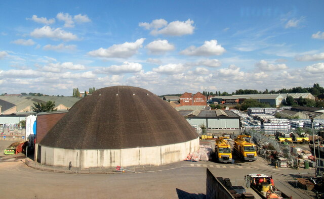
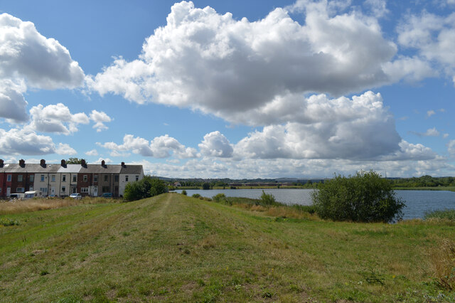
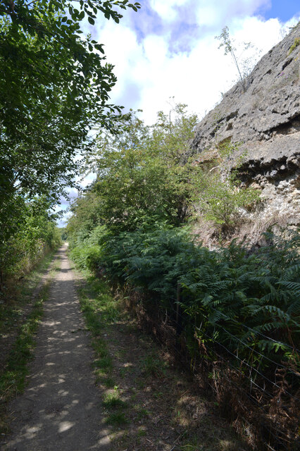
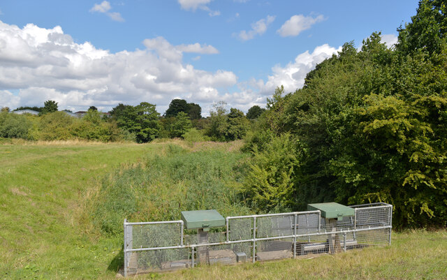
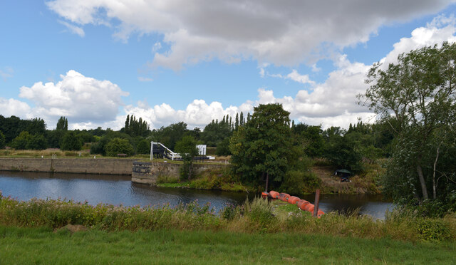
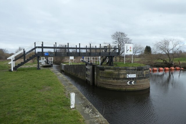
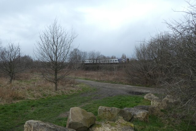
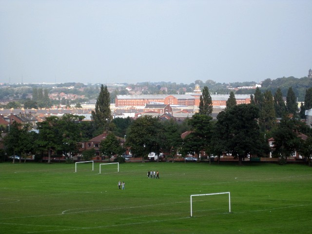
Brooks Bank Images
Images are sourced within 2km of 53.680011/-1.510713 or Grid Reference SE3220. Thanks to Geograph Open Source API. All images are credited.
Brooks Bank is located at Grid Ref: SE3220 (Lat: 53.680011, Lng: -1.510713)
Division: West Riding
Unitary Authority: Wakefield
Police Authority: West Yorkshire
What 3 Words
///firmly.worth.healers. Near Wakefield, West Yorkshire
Nearby Locations
Related Wikis
HM Prison Wakefield
His Majesty's Prison Wakefield is a Category A men's prison in Wakefield, West Yorkshire, England, operated by His Majesty's Prison Service. The prison...

Albion Mills Retail Park
Albion Mills Retail Park is a retail park in central Wakefield, West Yorkshire, England. The park, which contains a branch of PC World, was built in 2000...

Wakefield Westgate railway station
Wakefield Westgate railway station is a mainline railway station in Wakefield, West Yorkshire, England. It is 10 miles (16 km) south of Leeds to the west...
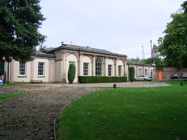
Milnes' Orangery
Milnes' Orangery is a historic building in the city centre of Wakefield, in West Yorkshire, in England. In about 1752, the cloth manufacturer Pemberton...
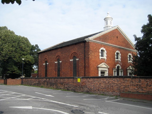
Westgate Unitarian Chapel
Westgate Unitarian Chapel is a historic chapel in the city centre of Wakefield, in West Yorkshire, England. The origins of the chapel lie in a group of...

The Art House
The Art House is an art gallery and studio complex in the city centre of Wakefield, in West Yorkshire, in England. The Art House was founded in 1994 as...

Theatre Royal, Wakefield
The Theatre Royal Wakefield is a theatre in Wakefield, England, which dates back to 1894. The theatre was originally known as the Theatre Royal and Opera...
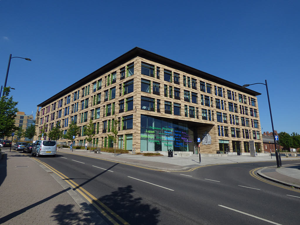
Wakefield One
Wakefield One is a building in the city centre of Wakefield, a city in West Yorkshire, in England. The four-storey building was commissioned by Wakefield...
Nearby Amenities
Located within 500m of 53.680011,-1.510713Have you been to Brooks Bank?
Leave your review of Brooks Bank below (or comments, questions and feedback).