Lambourn
Civil Parish in Berkshire
England
Lambourn

Lambourn is a civil parish located in the county of Berkshire, England. Situated in the picturesque Lambourn Valley, it is known for its beautiful countryside and thriving horse racing industry. The parish covers an area of approximately 39 square kilometers and has a population of around 3,000 people.
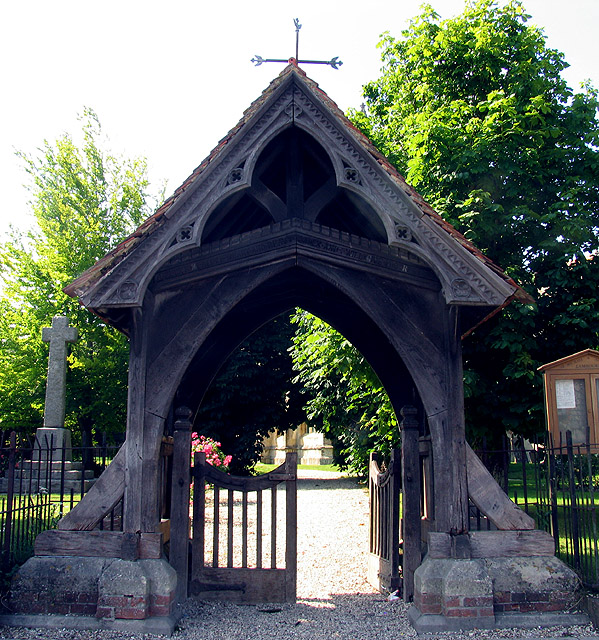
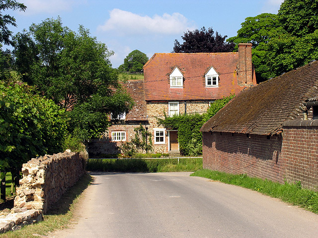
The village of Lambourn itself is the main settlement within the parish and serves as a hub for the local community. It offers a range of amenities including shops, pubs, restaurants, and a primary school. The village also has a rich history, with evidence of human settlement dating back to the Iron Age.
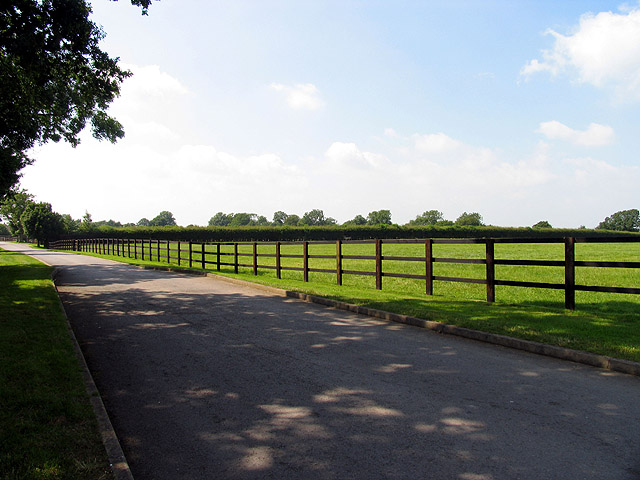
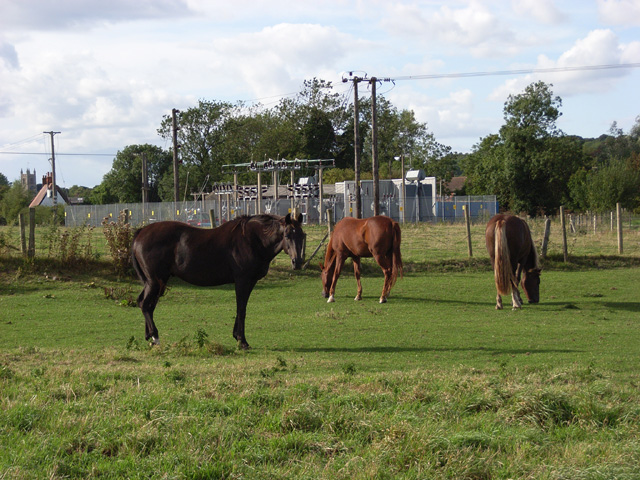
Lambourn is renowned for its connection to horse racing, with several racing stables located in the area. It has earned the title of "Valley of the Racehorse" due to its long-standing association with the sport. Many famous racehorses have been trained in Lambourn, and the village hosts regular racing events and competitions.
The surrounding countryside of Lambourn is characterized by rolling hills, open fields, and picturesque landscapes. It is a popular destination for outdoor enthusiasts, offering opportunities for walking, cycling, and horse riding. The Lambourn Downs, part of the North Wessex Downs Area of Outstanding Natural Beauty, provide stunning views and a tranquil environment.
Overall, Lambourn, Berkshire, is a charming civil parish that combines a rich history, a vibrant horse racing industry, and stunning natural surroundings. It offers a close-knit community, a range of amenities, and a beautiful setting for residents and visitors alike.
If you have any feedback on the listing, please let us know in the comments section below.
Lambourn Images
Images are sourced within 2km of 51.507717/-1.532788 or Grid Reference SU3278. Thanks to Geograph Open Source API. All images are credited.


Lambourn is located at Grid Ref: SU3278 (Lat: 51.507717, Lng: -1.532788)
Unitary Authority: West Berkshire
Police Authority: Thames Valley
What 3 Words
///fails.pixies.tightrope. Near Lambourn, Berkshire
Nearby Locations
Related Wikis

Lambourn
Lambourn is a village and civil parish in Berkshire, England. It lies just north of the M4 Motorway between Swindon and Newbury, and borders Wiltshire...
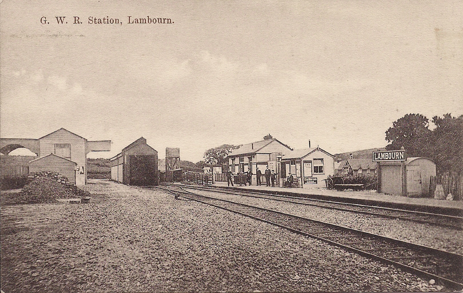
Lambourn railway station
Lambourn railway station was a railway station in Lambourn, Berkshire, UK, on the Lambourn Valley Railway. == History == The station opened on 4 April...

Watts Bank
Watts Bank is a 1.9-hectare (4.7-acre) nature reserve south of Lambourn in Berkshire. It is managed by the Berkshire, Buckinghamshire and Oxfordshire...
Upper Lambourn
Upper Lambourn is a small village in the county of Berkshire, England. The village is situated in the civil parish of Lambourn , and is 1.2 miles (2 km...

M4 corridor
The M4 corridor is an area in the United Kingdom adjacent to the M4 motorway, which runs from London to South Wales. It is a major hi-tech hub. Important...
Eastbury Halt railway station
Eastbury Halt railway station was a railway station in Eastbury, Berkshire, UK, on the Lambourn Valley Railway. == History == The station opened on 4 April...

Cleeve Hill SSSI, Berkshire
Cleeve Hill is a 4-hectare (9.9-acre) biological Site of Special Scientific Interest south of Lambourn in Berkshire.Cleeve Hill is a sloping chalk grassland...

Eastbury, Berkshire
Eastbury is a village in the valley of the River Lambourn in the English county of Berkshire. The village is situated on the old river level road from...
Nearby Amenities
Located within 500m of 51.507717,-1.532788Have you been to Lambourn?
Leave your review of Lambourn below (or comments, questions and feedback).