Lambley
Civil Parish in Nottinghamshire Gedling
England
Lambley
Lambley is a civil parish located in the county of Nottinghamshire, England. It is situated approximately 6 miles northeast of Nottingham city center and covers an area of about 1.5 square miles. The parish is primarily a rural area with a small population of around 300 residents.
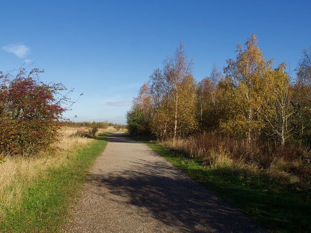
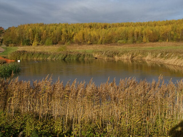
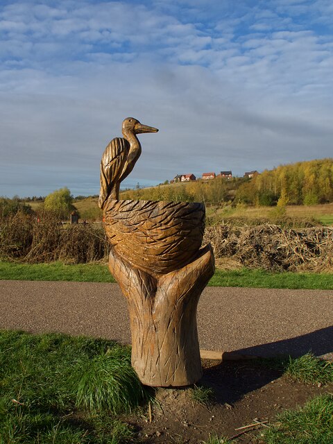
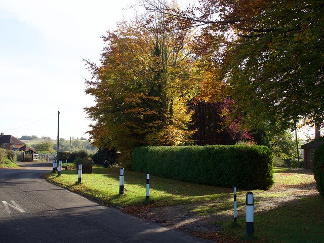
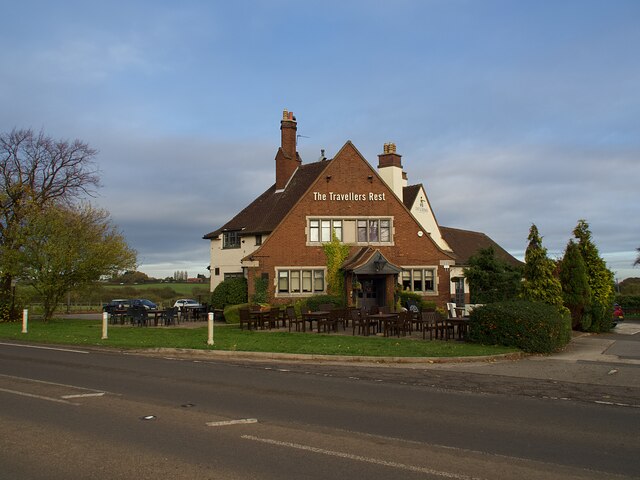
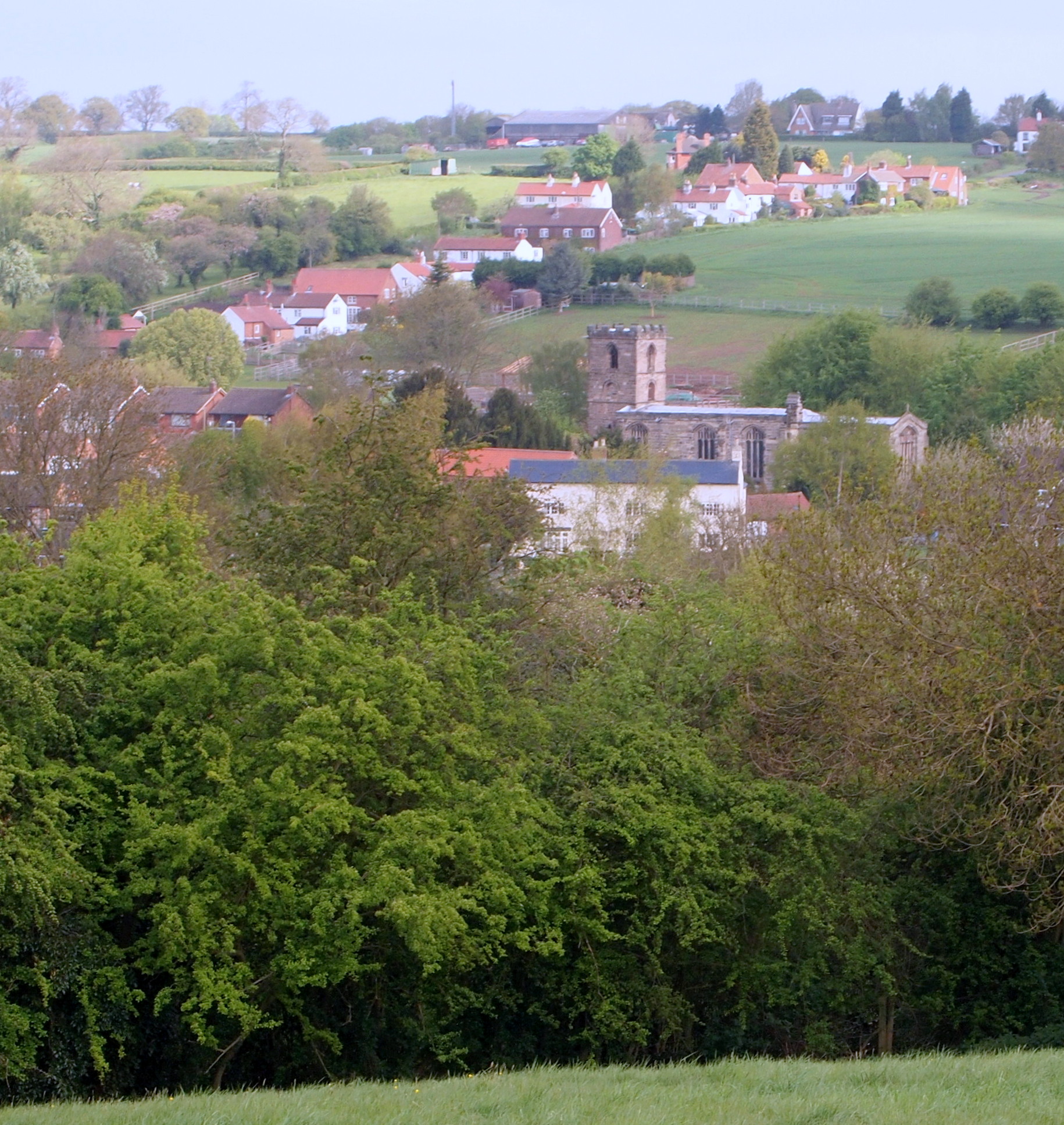
Lambley is known for its picturesque countryside and charming village atmosphere. It is surrounded by rolling hills, woodland areas, and agricultural fields, providing plenty of opportunities for outdoor activities such as hiking, cycling, and horseback riding. The village itself is characterized by a mix of traditional stone cottages, modern houses, and a few local businesses.
The community in Lambley is tight-knit and friendly, with many residents actively involved in local events and initiatives. The parish has a primary school, which serves the village and the surrounding areas. It also has a small church, St. Mary's, which dates back to the 12th century and holds regular services.
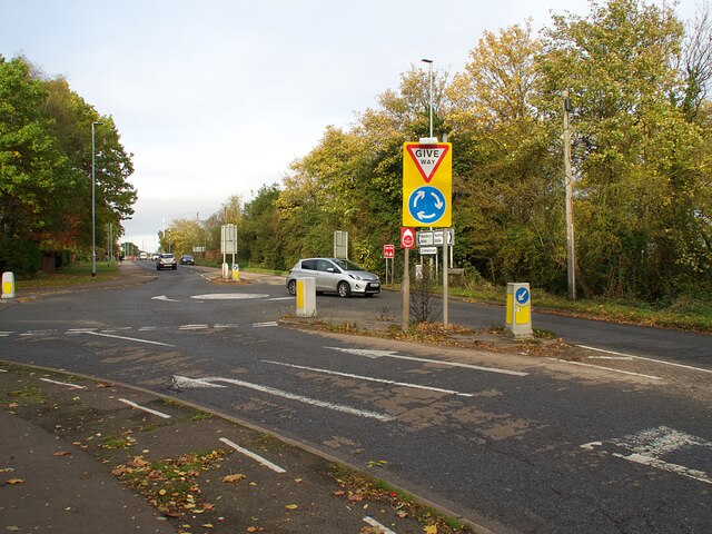
Despite its rural setting, Lambley is conveniently located near major transportation routes. The A612 road passes through the parish, connecting it to Nottingham city center and the nearby towns of Burton Joyce and Lowdham. The village is also served by public transportation, with regular bus services connecting it to surrounding areas.
Overall, Lambley offers a peaceful and idyllic countryside lifestyle, with easy access to both rural and urban amenities. Its natural beauty and close-knit community make it an attractive place to live for those seeking a tranquil retreat from city life.
If you have any feedback on the listing, please let us know in the comments section below.
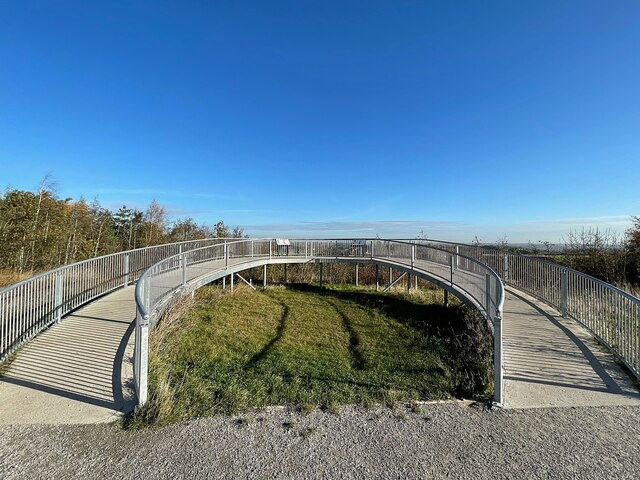
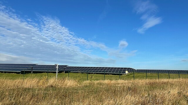
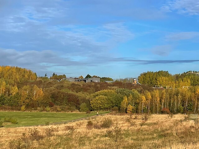
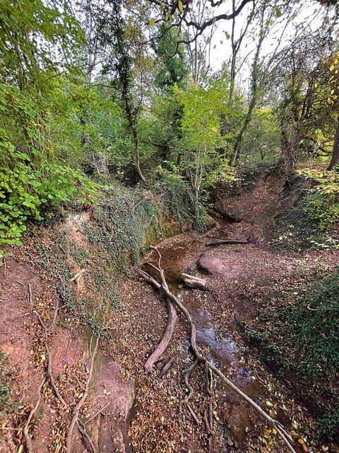
Lambley Images
Images are sourced within 2km of 53.005738/-1.07456 or Grid Reference SK6245. Thanks to Geograph Open Source API. All images are credited.


Lambley is located at Grid Ref: SK6245 (Lat: 53.005738, Lng: -1.07456)
Administrative County: Nottinghamshire
District: Gedling
Police Authority: Nottinghamshire
What 3 Words
///spent.canine.congested. Near Burton Joyce, Nottinghamshire
Related Wikis
Lambley, Nottinghamshire
Lambley is an English village and civil parish near Nottingham, England, hardly touched by urbanisation, as it lies in a green belt. The population recorded...
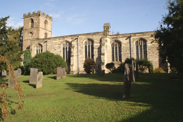
Holy Trinity Church, Lambley
Holy Trinity Church, Lambley is a Grade I listed parish church in the Church of England in Lambley, Nottinghamshire. == History == The church dates from...
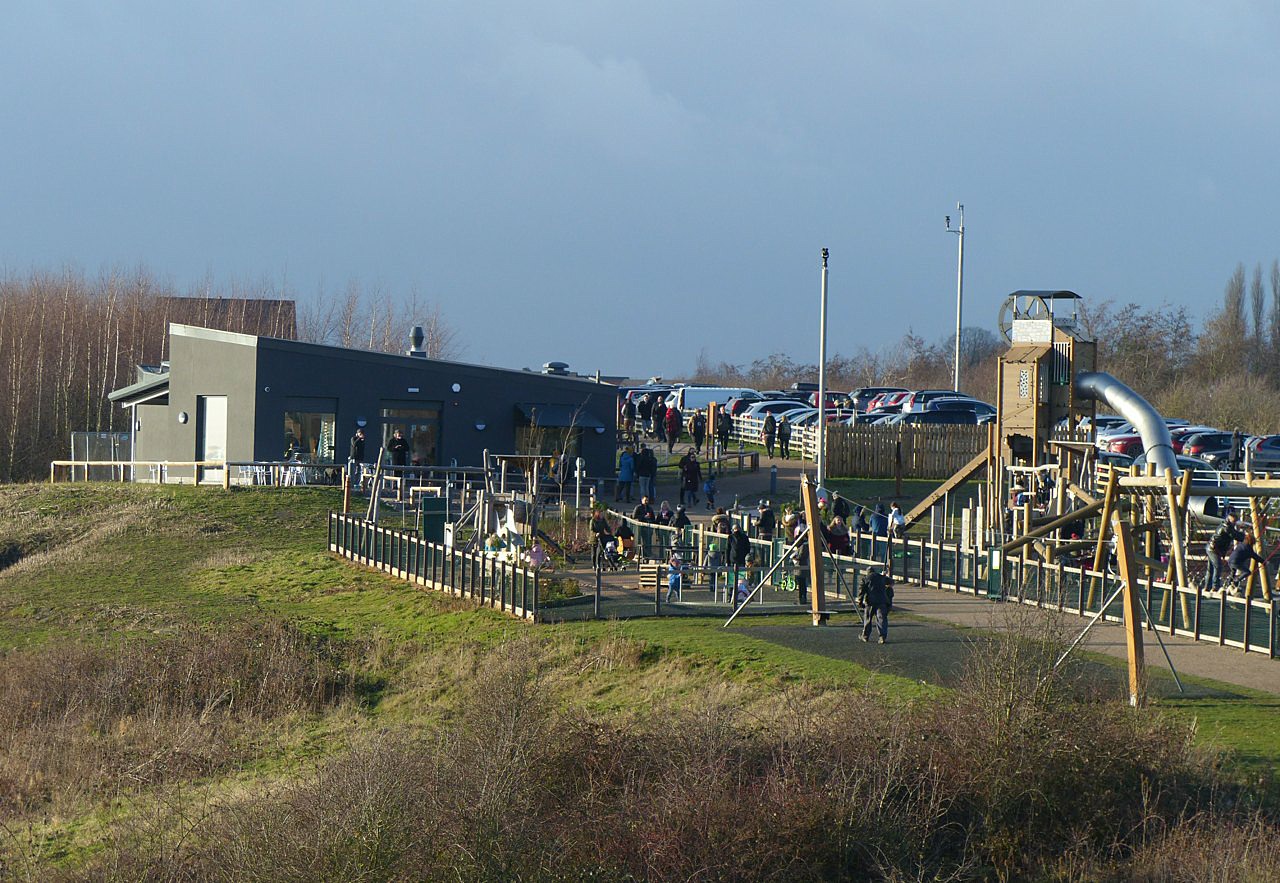
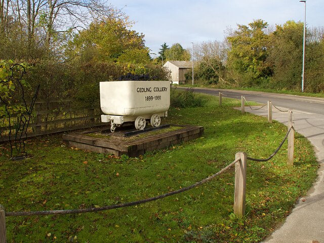
Gedling Country Park
Gedling Country Park is a country park in Gedling, Nottingham, England. == History == The park is on the grounds of the former Gedling Colliery, which...

Woodborough, Nottinghamshire
Woodborough is a village and civil parish in the Gedling district, in the county of Nottinghamshire, England. It is located 7 miles north-east of Nottingham...
St Swithun's Church, Woodborough
St Swithun's Church is a parish church in the Church of England in Woodborough, Nottinghamshire. == History == The church is medieval with the chancel...

HM Prison Lowdham Grange
HM Prison Lowdham Grange is a Category B men's private prison, located in the village of Lowdham (near Nottingham) in Nottinghamshire, England. The prison...
Christ the King Catholic Voluntary Academy
Christ the King Catholic Voluntary Academy (formerly Christ The King School) is a mixed Roman Catholic secondary school and sixth form located in Arnold...

Killisick
Killisick is an area of the market town of Arnold in the ceremonial county of Nottinghamshire in the East Midlands of England. It also used to be a local...
Nearby Amenities
Located within 500m of 53.005738,-1.07456Have you been to Lambley?
Leave your review of Lambley below (or comments, questions and feedback).