Lambley
Settlement in Nottinghamshire Gedling
England
Lambley
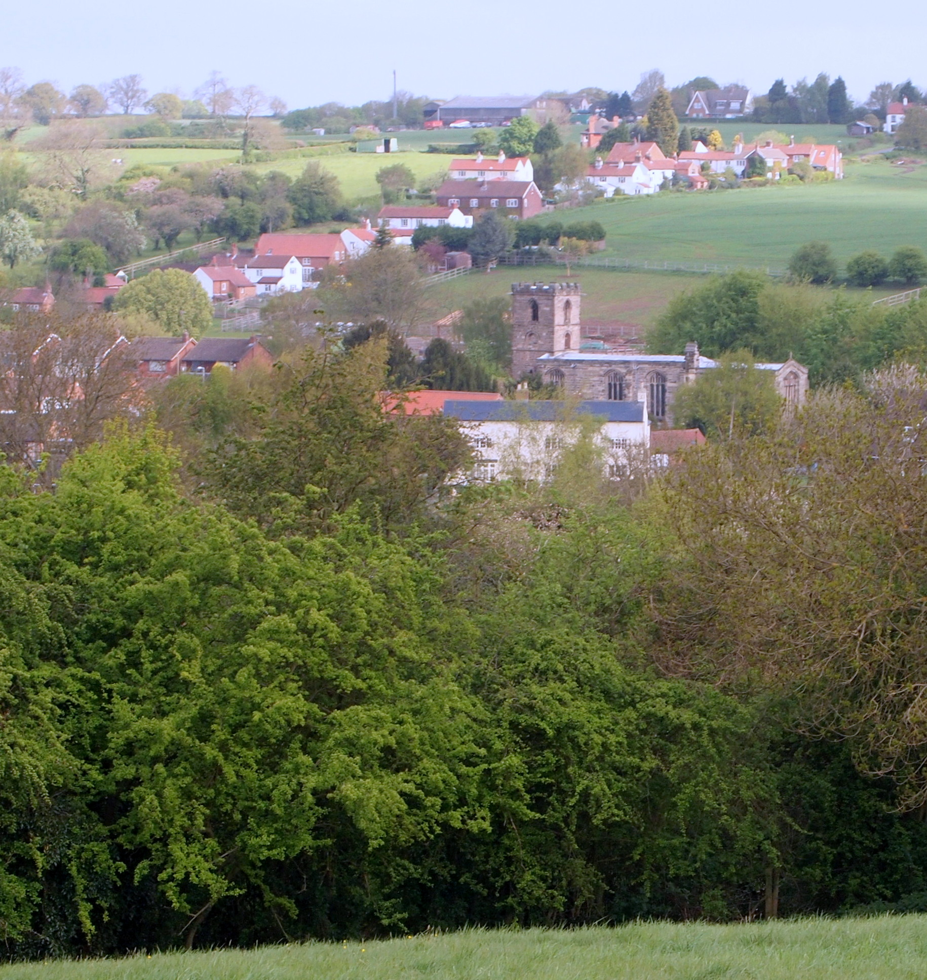
Lambley is a small village located in the county of Nottinghamshire, England. Situated approximately 8 miles northeast of Nottingham city center, it falls under the district of Gedling.
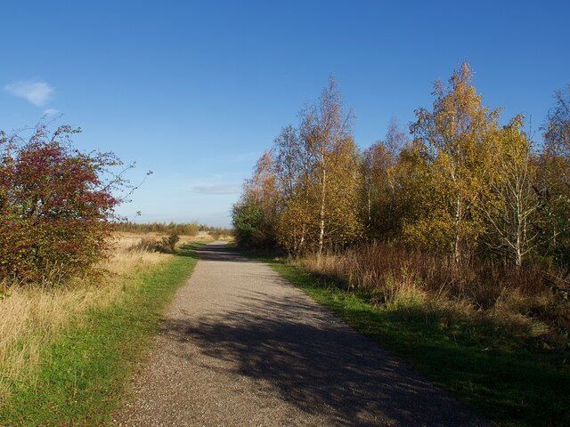
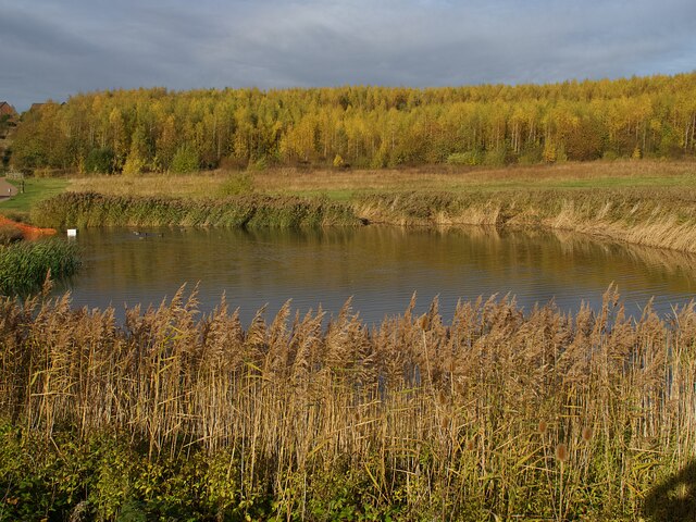
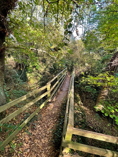
The village is surrounded by picturesque countryside, with rolling hills and lush green fields. It is known for its charming and peaceful atmosphere, making it an ideal place for those seeking a tranquil rural lifestyle.
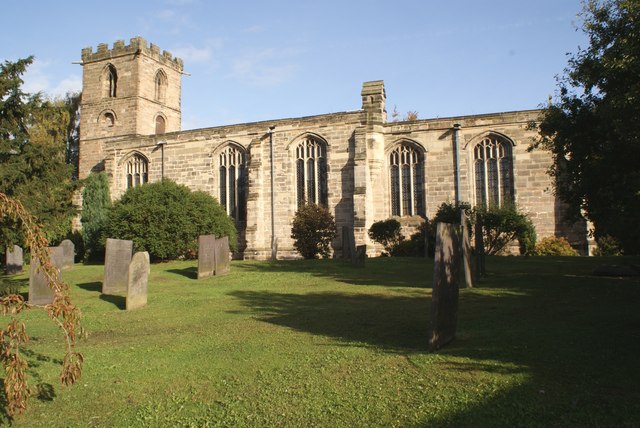
Lambley has a rich history, with evidence of human settlement dating back to Roman times. The village is home to several historic buildings, including St. Mary's Church, a Grade II listed building that dates back to the 13th century. The church is renowned for its beautiful stained glass windows and intricate architecture.
In terms of amenities, Lambley offers a range of facilities to its residents. These include a village hall, a primary school, a post office, and a local pub. The village also hosts various community events throughout the year, such as summer fairs and Christmas festivities.
Due to its proximity to Nottingham, Lambley benefits from excellent transportation links. The village is well-connected by road, with easy access to the A612 and the nearby A52, which connects to Nottingham and other major cities in the region. Public transportation options are also available, with regular bus services connecting Lambley to nearby towns and villages.
Overall, Lambley is a charming and historic village that offers a peaceful and idyllic setting for its residents, while still providing convenient access to nearby urban areas.
If you have any feedback on the listing, please let us know in the comments section below.
Lambley Images
Images are sourced within 2km of 53.000706/-1.0630554 or Grid Reference SK6245. Thanks to Geograph Open Source API. All images are credited.


Lambley is located at Grid Ref: SK6245 (Lat: 53.000706, Lng: -1.0630554)
Administrative County: Nottinghamshire
District: Gedling
Police Authority: Nottinghamshire
What 3 Words
///fans.engulfing.character. Near Burton Joyce, Nottinghamshire
Related Wikis
Lambley, Nottinghamshire
Lambley is an English village and civil parish near Nottingham, England, hardly touched by urbanisation, as it lies in a green belt. The population recorded...
Holy Trinity Church, Lambley
Holy Trinity Church, Lambley is a Grade I listed parish church in the Church of England in Lambley, Nottinghamshire. == History == The church dates from...
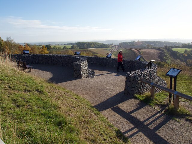
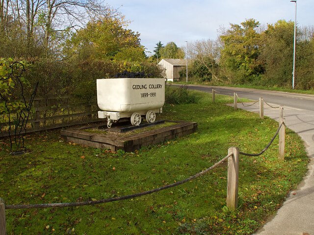
Gedling Country Park
Gedling Country Park is a country park in Gedling, Nottingham, England. == History == The park is on the grounds of the former Gedling Colliery, which...

United Reformed Church, Burton Joyce
The United Reformed Church (formerly known as the village's Congregationalist Church) is a now redundant Christian church that operated under the United...

Woodborough, Nottinghamshire
Woodborough is a village and civil parish in the Gedling district, in the county of Nottinghamshire, England. It is located 7 miles north-east of Nottingham...

HM Prison Lowdham Grange
HM Prison Lowdham Grange is a Category B men's private prison, located in the village of Lowdham (near Nottingham) in Nottinghamshire, England. The prison...

Burton Joyce
Burton Joyce () is a large village and civil parish in the Gedling district of Nottinghamshire, England, 7 miles (11 km) east of Nottingham, between Stoke...

St Helen's Church, Burton Joyce
St Helen's Church is a Grade I listed parish church in the Church of England in Burton Joyce, Nottinghamshire, England. == History == It was built in the...
Nearby Amenities
Located within 500m of 53.000706,-1.0630554Have you been to Lambley?
Leave your review of Lambley below (or comments, questions and feedback).