Lambourn Downs
Range Of Mountains, Range Of Hills in Berkshire
England
Lambourn Downs
Lambourn Downs is a range of hills located in Berkshire, England. Situated in the southern part of the county, it forms part of the North Wessex Downs Area of Outstanding Natural Beauty. The downs stretch over an area of approximately 50 square miles and are known for their picturesque landscapes and rich natural diversity.
The Lambourn Downs are characterized by rolling hills, with the highest point reaching an elevation of around 850 feet. The terrain primarily consists of chalk, resulting in distinctive white slopes that contribute to the unique beauty of the area. The downs are home to a variety of flora and fauna, including rare orchid species and vibrant wildflowers that bring color to the landscape during the spring and summer months.
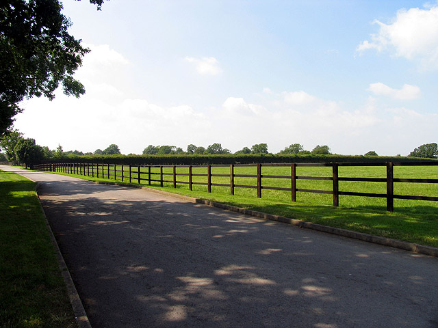
The region is known for its extensive network of footpaths and bridleways, making it a popular destination for outdoor enthusiasts and hikers. The downs offer stunning views of the surrounding countryside, with sweeping vistas of the Berkshire Downs and the Thames Valley.
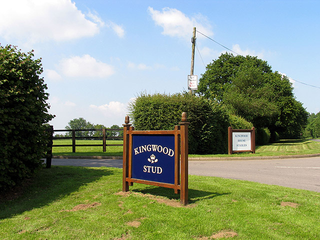
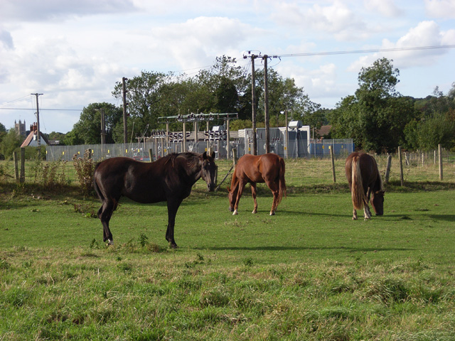
Historically, the Lambourn Downs have been associated with horse racing, as the nearby village of Lambourn is renowned for its horse training facilities. Many racehorses are trained on the downs, taking advantage of the gentle slopes and open spaces.
Overall, Lambourn Downs in Berkshire is a captivating range of hills that offers a tranquil escape from urban life. Its natural beauty and recreational opportunities make it a cherished destination for both locals and visitors seeking to explore the idyllic countryside of southern England.
If you have any feedback on the listing, please let us know in the comments section below.
Lambourn Downs Images
Images are sourced within 2km of 51.507123/-1.5336368 or Grid Reference SU3278. Thanks to Geograph Open Source API. All images are credited.


Lambourn Downs is located at Grid Ref: SU3278 (Lat: 51.507123, Lng: -1.5336368)
Unitary Authority: West Berkshire
Police Authority: Thames Valley
What 3 Words
///tradition.overdrive.piston. Near Lambourn, Berkshire
Nearby Locations
Related Wikis

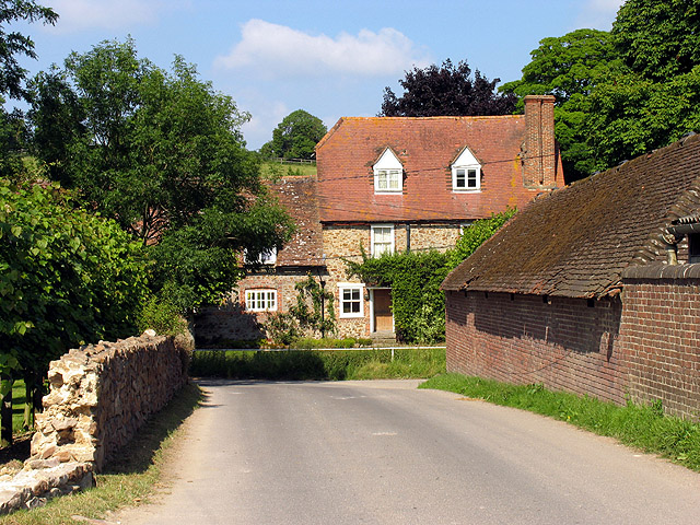
Lambourn
Lambourn is a village and civil parish in Berkshire, England. It lies just north of the M4 Motorway between Swindon and Newbury, and borders Wiltshire...
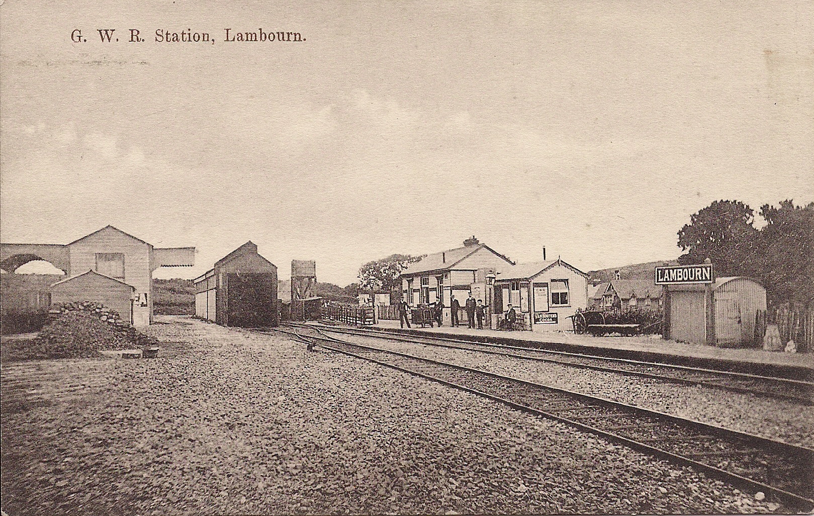
Lambourn railway station
Lambourn railway station was a railway station in Lambourn, Berkshire, UK, on the Lambourn Valley Railway. == History == The station opened on 4 April...

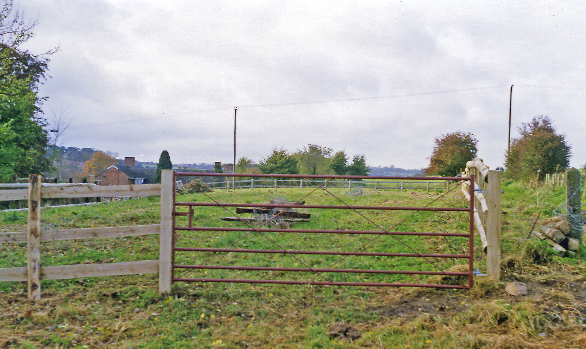
Watts Bank
Watts Bank is a 1.9-hectare (4.7-acre) nature reserve south of Lambourn in Berkshire. It is managed by the Berkshire, Buckinghamshire and Oxfordshire...
Upper Lambourn
Upper Lambourn is a small village in the county of Berkshire, England. The village is situated in the civil parish of Lambourn , and is 1.2 miles (2 km...

M4 corridor
The M4 corridor is an area in the United Kingdom adjacent to the M4 motorway, which runs from London to South Wales. It is a major hi-tech hub. Important...

Cleeve Hill SSSI, Berkshire
Cleeve Hill is a 4-hectare (9.9-acre) biological Site of Special Scientific Interest south of Lambourn in Berkshire.Cleeve Hill is a sloping chalk grassland...
Eastbury Halt railway station
Eastbury Halt railway station was a railway station in Eastbury, Berkshire, UK, on the Lambourn Valley Railway. == History == The station opened on 4 April...

Eastbury, Berkshire
Eastbury is a village in the valley of the River Lambourn in the English county of Berkshire. The village is situated on the old river level road from...
Nearby Amenities
Located within 500m of 51.507123,-1.5336368Have you been to Lambourn Downs?
Leave your review of Lambourn Downs below (or comments, questions and feedback).