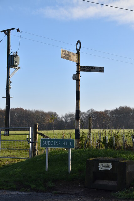
Knockholt
Civil Parish in Kent Sevenoaks
England
Knockholt
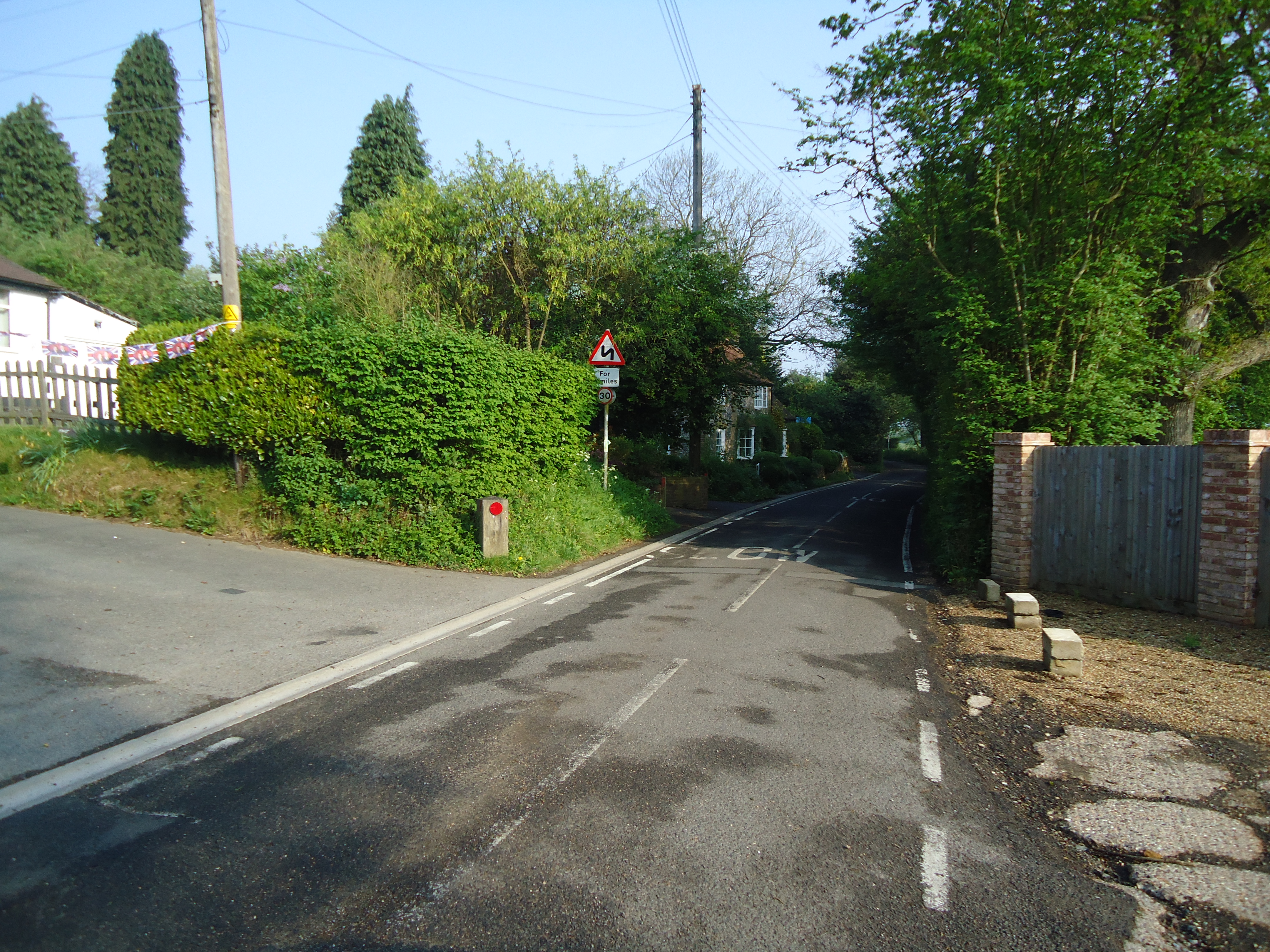
Knockholt is a civil parish located in the Sevenoaks District of the county of Kent, England. Situated approximately 20 miles southeast of London, it is a picturesque village surrounded by the rolling hills of the North Downs. The parish covers an area of about 8 square miles and has a population of around 2,000 residents.
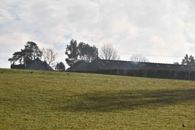
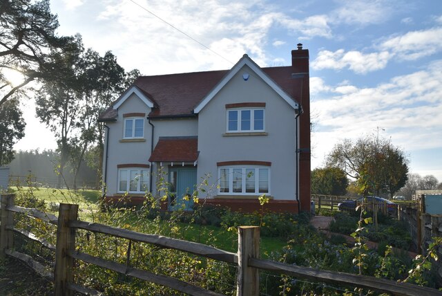
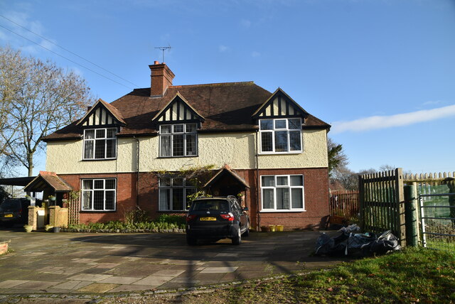
The village of Knockholt is known for its idyllic countryside setting and charming character. It features a mix of historic buildings and modern amenities, including a traditional village green, a local pub, a primary school, and a parish church. The village is also home to various community organizations and sports clubs, providing residents with a range of recreational activities.
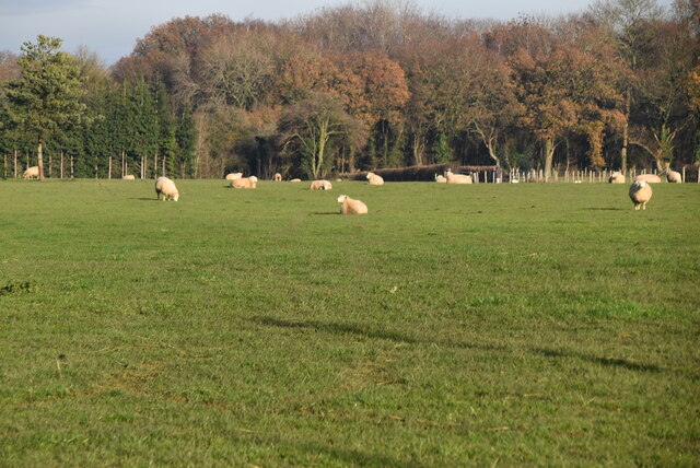
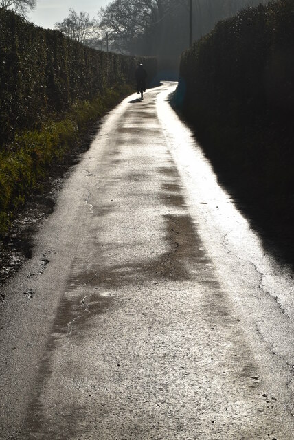
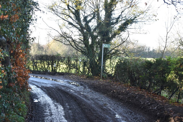
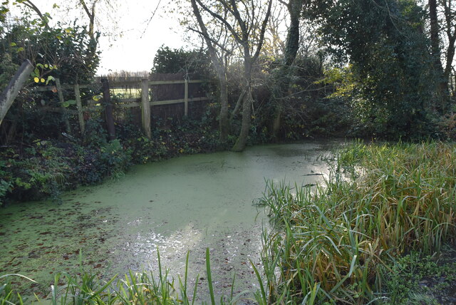
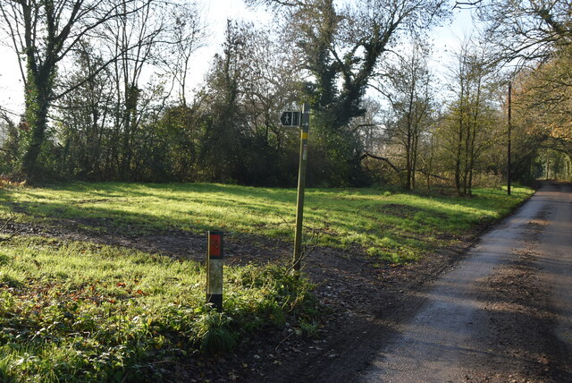
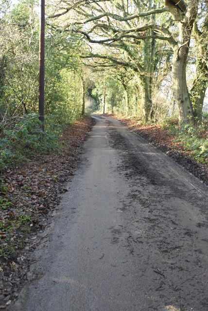
The surrounding area of Knockholt offers ample opportunities for outdoor pursuits, with numerous walking trails and bridleways crisscrossing the countryside. The nearby Knockholt Pound, a local nature reserve, provides a haven for wildlife and is a popular spot for nature enthusiasts.
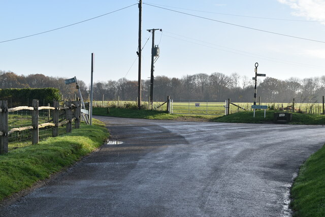
In terms of transportation, Knockholt is well-connected to neighboring towns and cities. The village has its own railway station, providing direct links to London and other major destinations. Additionally, the A21 road runs nearby, offering easy access to the M25 motorway.
Overall, Knockholt offers a tranquil and scenic place to live, with its rural charm and close proximity to both London and the Kent countryside. It is a sought-after location for those seeking a peaceful and picturesque village lifestyle.
If you have any feedback on the listing, please let us know in the comments section below.
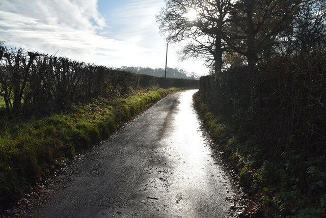
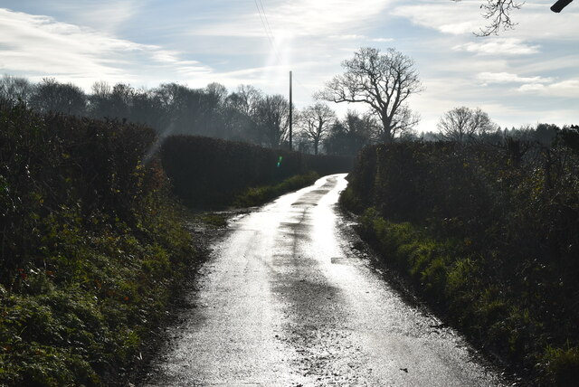
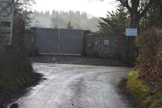
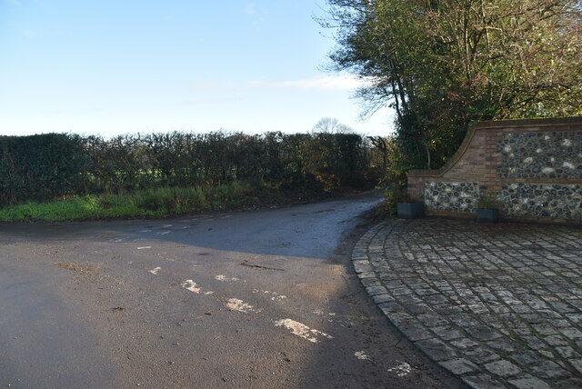
Knockholt Images
Images are sourced within 2km of 51.314813/0.107912 or Grid Reference TQ4759. Thanks to Geograph Open Source API. All images are credited.


Knockholt is located at Grid Ref: TQ4759 (Lat: 51.314813, Lng: 0.107912)
Administrative County: Kent
District: Sevenoaks
Police Authority: Kent
What 3 Words
///kept.lamps.fades. Near Sundridge, Kent
Nearby Locations
Related Wikis

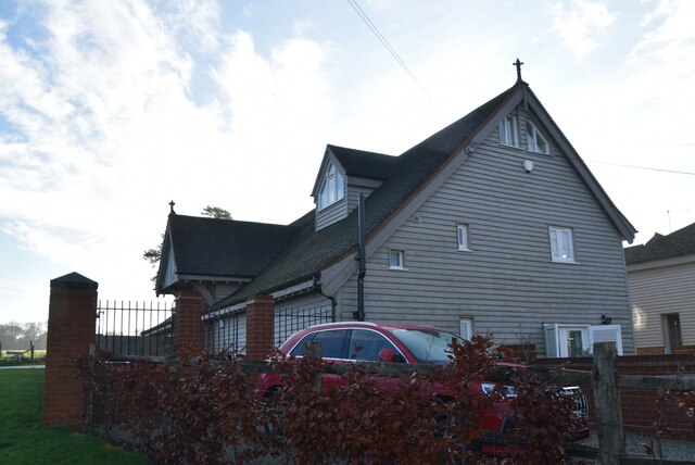
St Katharine's Church, Knockholt
St Katharine's Church is an Anglican parish church in the village of Knockholt and the Sevenoaks deanery. St Katharine's and St Margaret's came together...

Knockholt
Knockholt is a village and civil parish in the Sevenoaks District of Kent, England. It is located 5 mi (8 km) north west of Sevenoaks & 5.7 mi (9.2 km...
Horns Green
Horns Green is an area in the London Borough of Bromley located to the south of Cudham near the boundary with Kent. == References ==
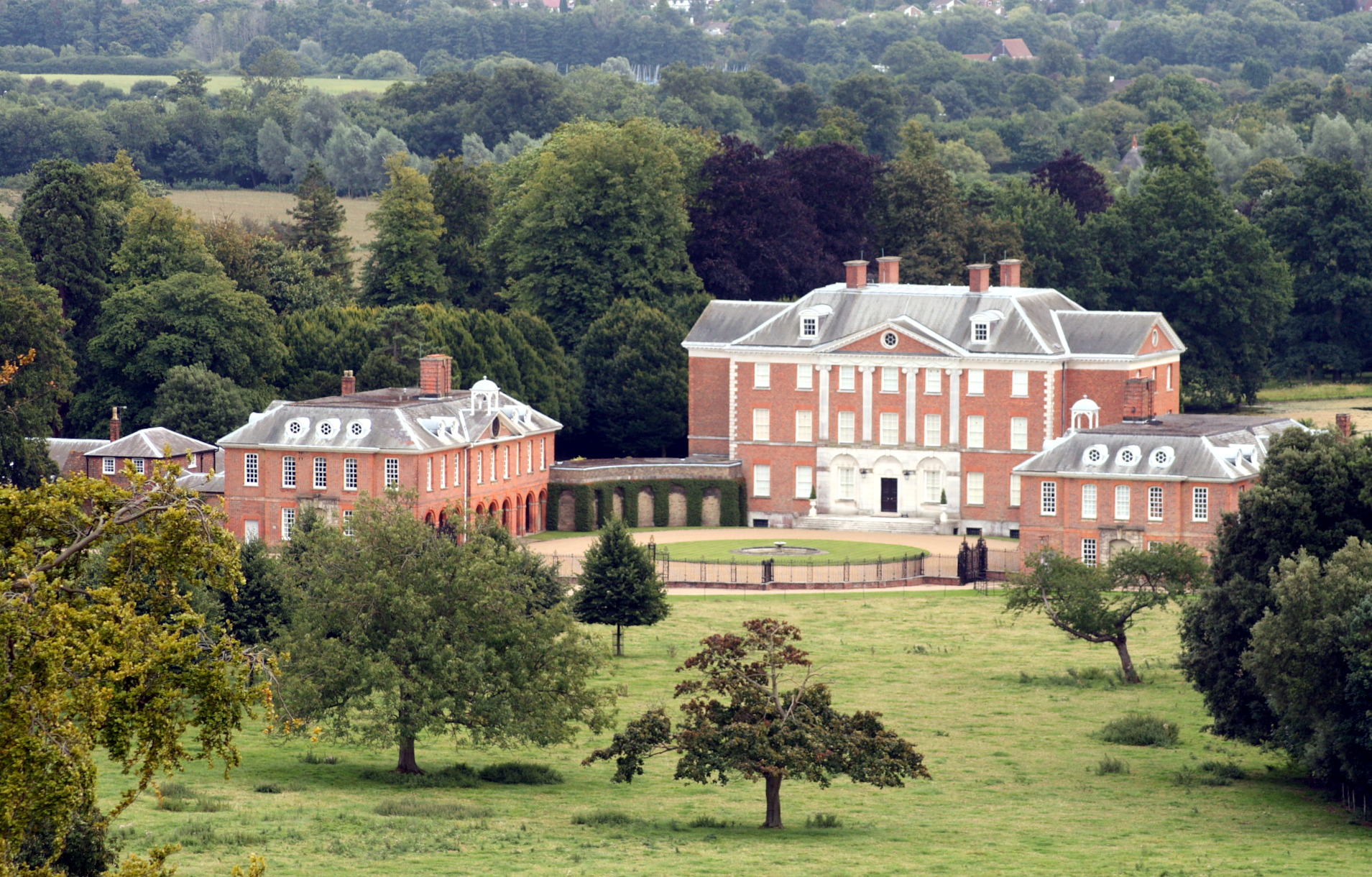
Chevening
Chevening House () is a large country house in the parish of Chevening in Kent, England. Built between 1617 and 1630 to a design reputedly by Inigo Jones...

Cudham
Cudham is a village in Greater London, England, located within the London Borough of Bromley and beyond London's urban sprawl. It is located on the Greater...

St Margaret's Church, Halstead
St Margaret's Church is an Anglican parish church in the village of Halstead and the Sevenoaks deanery, although the church also serves the village of...

London Borough of Bromley
The London Borough of Bromley ( ) is the largest and southeasternmost of the London boroughs that make up Greater London, bordering the county of Kent...
Halstead, Kent
Halstead is a village and civil parish in the Sevenoaks District of Kent, England. It is located 4.7 miles south east of Orpington & 6.1 miles north west...
Nearby Amenities
Located within 500m of 51.314813,0.107912Have you been to Knockholt?
Leave your review of Knockholt below (or comments, questions and feedback).