Kniveton
Civil Parish in Derbyshire Derbyshire Dales
England
Kniveton

Kniveton is a small civil parish located in the county of Derbyshire, England. Situated approximately six miles northwest of the market town of Ashbourne, it is nestled within the beautiful countryside of the Peak District National Park. The parish covers an area of around 4.5 square miles and has a population of around 250 residents.
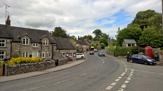
The village of Kniveton itself is characterized by its traditional stone-built houses and cottages, giving it a charming and picturesque atmosphere. The local economy primarily revolves around agriculture, with many residents involved in farming and livestock rearing. The fertile soil and favorable climate in the area make it suitable for agricultural activities.
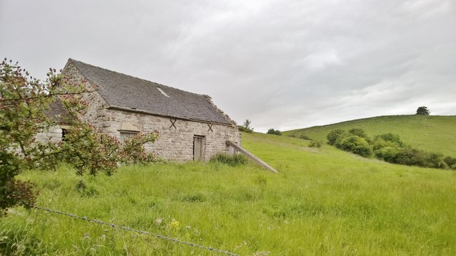
The parish boasts stunning natural landscapes, with rolling hills, lush green fields, and meandering streams. It is an ideal location for outdoor enthusiasts, offering a plethora of walking and cycling routes, as well as opportunities for fishing and horse riding. The nearby Carsington Water, a large reservoir, provides additional recreational facilities, including sailing, windsurfing, and bird watching.
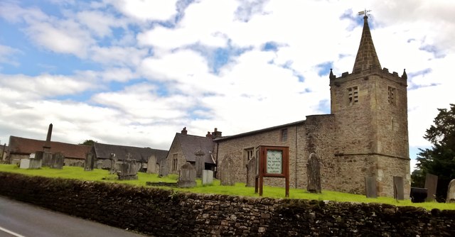
Kniveton is also home to the historic St. Michael's Church, which dates back to the 12th century and is a prominent landmark in the area. The village has a close-knit community, with various social events and activities organized throughout the year, including a summer fete and a Christmas market.
Overall, Kniveton is a tranquil and idyllic parish, offering a peaceful rural lifestyle and a strong sense of community. It provides a perfect escape for those seeking a slower pace of life and a connection with nature.
If you have any feedback on the listing, please let us know in the comments section below.
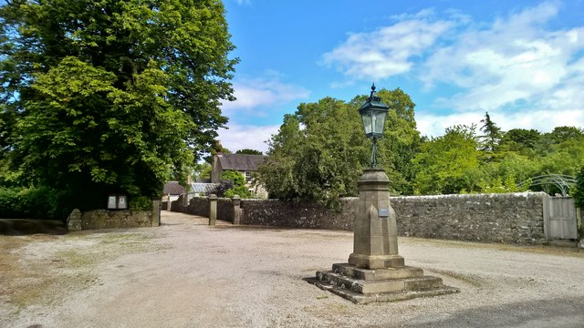
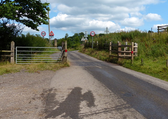
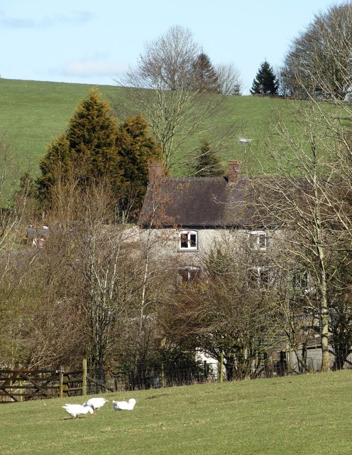
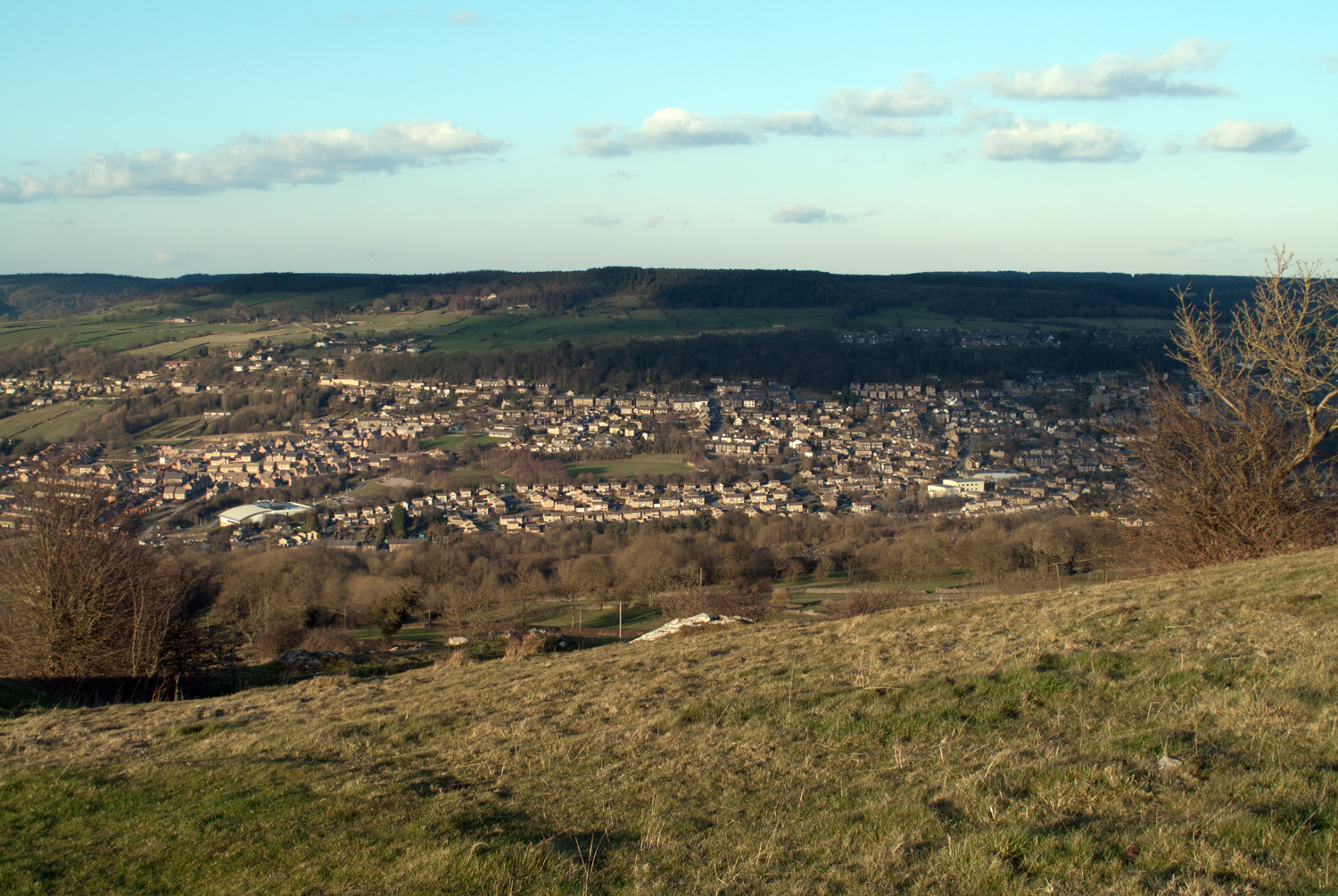
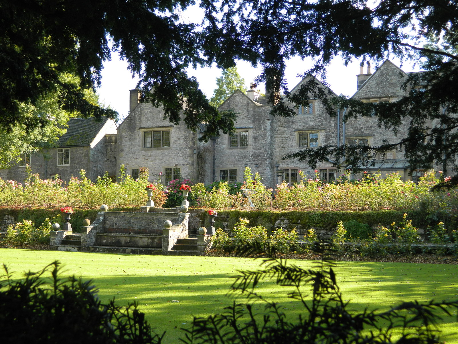
Kniveton Images
Images are sourced within 2km of 53.062719/-1.708086 or Grid Reference SK1951. Thanks to Geograph Open Source API. All images are credited.


Kniveton is located at Grid Ref: SK1951 (Lat: 53.062719, Lng: -1.708086)
Administrative County: Derbyshire
District: Derbyshire Dales
Police Authority: Derbyshire
What 3 Words
///undercuts.triads.passport. Near Ashbourne, Derbyshire
Nearby Locations
Related Wikis

Woodeaves Canal
The Woodeaves Canal (sometimes hyphenated as Wood-Eaves) was a short, privately owned canal near Ashbourne, Derbyshire, England. It was a short waterway...

All Saints' Church, Bradbourne
All Saints’ Church, Bradbourne is a Grade I listed parish church in the Church of England: 103 in Bradbourne, Derbyshire. == History == All Saints’ Church...

Bradbourne Priory
Bradbourne Priory was a priory in Bradbourne, Derbyshire, England. The Priory at Bradbourne consisted of the main priory church and community at Bradbourne...
Derbyshire Dales
Derbyshire Dales ( DAR-bee-sheer, -shər) is a local government district in Derbyshire, England. The district was created in 1974 as West Derbyshire; the...
Bradbourne Hall
Bradbourne Hall is a country house near All Saint's Church, within the civil parish of Bradbourne, near Ashbourne, Derbyshire. It is a privately owned...
Bradbourne
Bradbourne is a village and civil parish in the Derbyshire Dales district of Derbyshire, England. The village is just outside the Peak District National...

Tissington railway station
Tissington railway station is a disused British railway station near Tissington (grid reference SK177521), a village in Derbyshire near Ashbourne. It...

St Michael and All Angels' Church, Kniveton
St Michael and All Angels’ Church, Kniveton is a Grade I listed parish church in the Church of England in Kniveton, Derbyshire. == History == The church...
Nearby Amenities
Located within 500m of 53.062719,-1.708086Have you been to Kniveton?
Leave your review of Kniveton below (or comments, questions and feedback).