Knockin

Civil Parish in Shropshire

England

Knockin

Cottages at the Sandford Junction with the A5
Cottages at the Sandford Junction with the A5 Credit: Eirian Evans

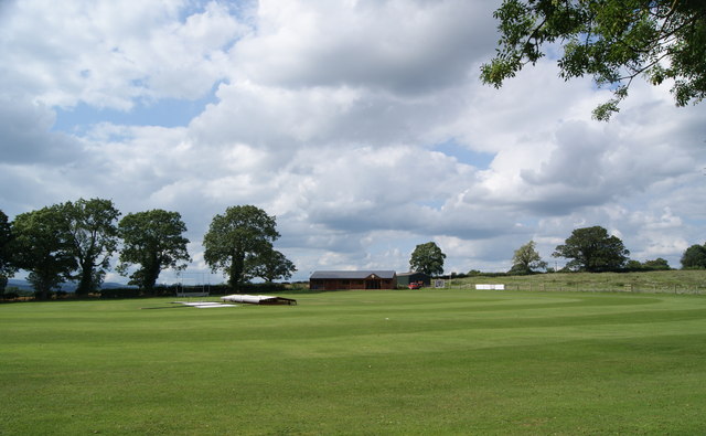
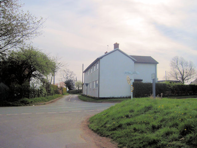
Knockin is a civil parish located in the county of Shropshire, England. Situated approximately 5 miles northwest of the market town of Oswestry, Knockin covers an area of about 7.8 square kilometers and has a population of around 1,000 residents. The parish is primarily rural, characterized by beautiful rolling countryside, fields, and farmland.

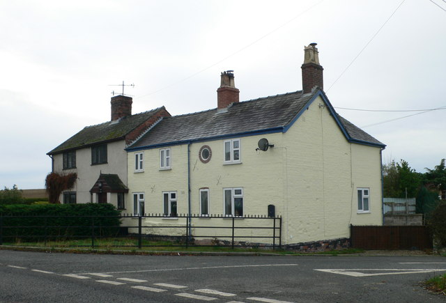
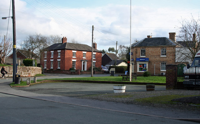
The village of Knockin itself is a small settlement with a charming and tight-knit community. It features a mix of traditional and modern architecture, with some houses dating back several centuries. The centerpiece of the village is St. Mary's Church, a Grade II listed building that dates back to the 12th century. The church is known for its intricate stained glass windows and historical significance.

Despite its small size, Knockin offers a range of amenities for its residents. These include a village hall, a primary school, a post office, and a convenience store. The village also has a pub, providing a social hub for locals and visitors alike.

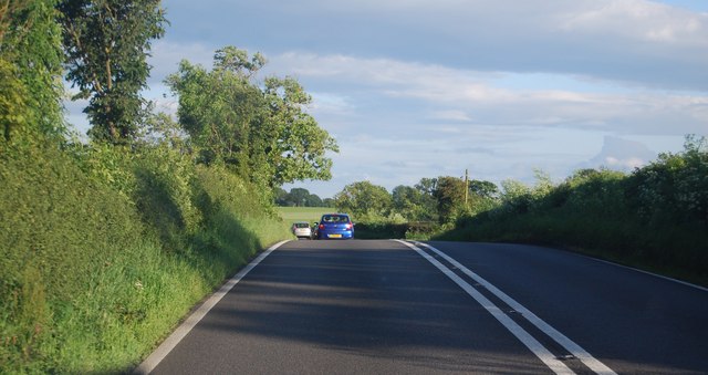
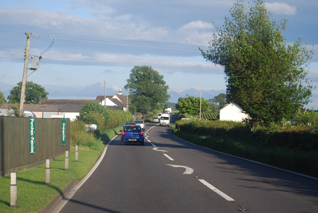
The surrounding area offers plenty of opportunities for outdoor activities such as walking, cycling, and horse riding. Knockin is close to the Shropshire Hills Area of Outstanding Natural Beauty, which offers stunning landscapes and scenic trails. Additionally, the nearby town of Oswestry provides a wider range of amenities, including shops, restaurants, and leisure facilities.

In conclusion, Knockin is a picturesque civil parish in Shropshire, known for its rural charm, community spirit, and proximity to beautiful countryside.

If you have any feedback on the listing, please let us know in the comments section below.

Knockin Images

Images are sourced within 2km of 52.793792/-2.982714 or Grid Reference SJ3322. Thanks to Geograph Open Source API. All images are credited.

Cottages at the Sandford Junction with the A5
Blind Summit, A5 The A5 is a major trunk road that runs 260 miles from London to Holyhead. It follows the course of an old Roman Road (Watling Street).
Wikipedia: <span class="nowrap"><a title="http://en.wikipedia.org/wiki/A5_road_(Great_Britain)" rel="nofollow ugc noopener" href="http://en.wikipedia.org/wiki/A5_road_(Great_Britain)">Link</a><img style="margin-left:2px;" alt="External link" title="External link - shift click to open in new window" src="https://s1.geograph.org.uk/img/external.png" width="10" height="10"/></span>
Blind Summit, A5
The A5 is a major trunk road that runs 260 miles from London to Holyhead. It follows the course of an old Roman Road (Watling Street). Wikipedia: LinkExternal link
A5, Long Oak The A5 is a major trunk road that runs 260 miles from London to Holyhead. It follows the course of an old Roman Road (Watling Street).
Wikipedia: <span class="nowrap"><a title="http://en.wikipedia.org/wiki/A5_road_(Great_Britain)" rel="nofollow ugc noopener" href="http://en.wikipedia.org/wiki/A5_road_(Great_Britain)">Link</a><img style="margin-left:2px;" alt="External link" title="External link - shift click to open in new window" src="https://s1.geograph.org.uk/img/external.png" width="10" height="10"/></span>
A5, Long Oak
The A5 is a major trunk road that runs 260 miles from London to Holyhead. It follows the course of an old Roman Road (Watling Street). Wikipedia: LinkExternal link
Spring Heath Fishery, Knockin
The Merlin telescope Knockin
The Knockin & Kinnerley Cricket Club
Merlin Telescope and Spring Heath Fishery Knockin
Road to Plasau, Knockin Heath
Osbaston Farm from B4396
Road junction at Rolly From B4396
Road junction at Rolly
From B4396
Entering Knockin from the eastbound B4396
Junction for Knockin at Doveston
Doveston United Reformed Church
Hall in grounds of Doveston Church
Approaching Knockin road at Knockin Heath
War memorial, Knockin Knockin is a small village on the B4396 which is the road in the image. The white building left of centre is a shop, known inevitably as 'The Knockin Shop'!
War memorial, Knockin
Knockin is a small village on the B4396 which is the road in the image. The white building left of centre is a shop, known inevitably as 'The Knockin Shop'!
Approaching turning to Plasau
A5 west of Lower Farm
Show me another place!

Knockin is located at Grid Ref: SJ3322 (Lat: 52.793792, Lng: -2.982714)

Unitary Authority: Shropshire

Police Authority: West Mercia

What 3 Words

///calibrate.unfit.yesterday. Near Ruyton-XI-Towns, Shropshire

Nearby Locations

Knockin Knockin

Related Wikis

Knockin Castle

Knockin Castle is situated in the village of Knockin on Shropshire between Oswestry and Shrewsbury (grid reference SJ334223), England. This was a motte...

Knockin

Knockin (Welsh: Cnwcin) is a village and civil parish in north-west Shropshire, England. It is located on the B4396 road, around 5 miles (8.0 km) south...

Kinnerley

Kinnerley (historic Welsh name: Generdinlle) is a small village in Shropshire, England. It lies between the neighbouring villages of Dovaston and Pentre...

Osbaston, Oswestry

Osbaston is a small village in the English county of Shropshire. Osbaston lies on the B4396 road some five miles to the south of Oswestry. The population...

Nearby Amenities

Located within 500m of 52.793792,-2.982714
Knockin Castle
Castle Type: motte
Historic: castle
Historic Civilization: medieval
Note: All that remains of Knockin Castle today is a large tree-covered mound of earth.
Ruins: yes
Wikidata: Q6422872
Wikipedia: en:Knockin Castle
Lat/Long: 52.794531/-2.9881067
The Old Forge B&B
Tourism: guest_house
Lat/Long: 52.7939515/-2.989519
Entrance: yes
Lat/Long: 52.7945141/-2.9892176
The data included in this document is from www.openstreetmap.org. The data is made available under ODbL.

Have you been to Knockin?

Leave your review of Knockin below (or comments, questions and feedback).