Kingston

Civil Parish in Kent Canterbury

England

Kingston

Cornerways Grade II listed.
Cornerways Credit: N Chadwick

Kingston is a civil parish located in the county of Kent, England. It is situated in the district of Swale, about 7 miles south of the town of Sittingbourne. The parish covers an area of approximately 6 square miles and has a population of around 1,000 residents.

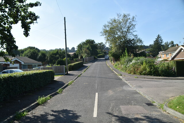
The village of Kingston is known for its charming rural setting, with rolling hills and picturesque countryside. It is surrounded by farmland and has a tranquil atmosphere, making it an ideal place for those seeking a peaceful retreat. The parish is also close to the Swale estuary, providing beautiful views and opportunities for outdoor activities.

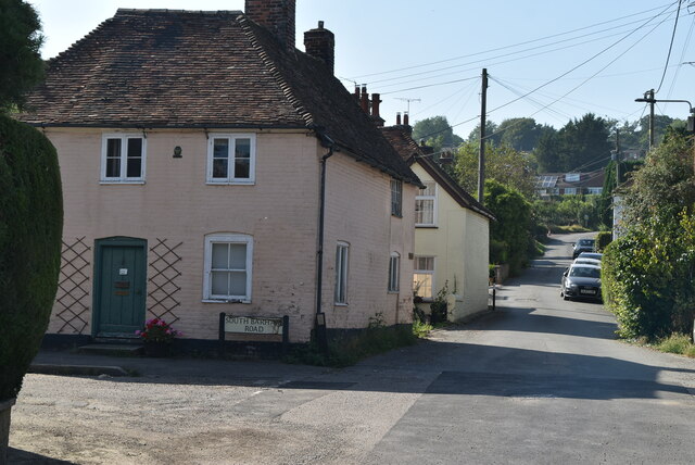
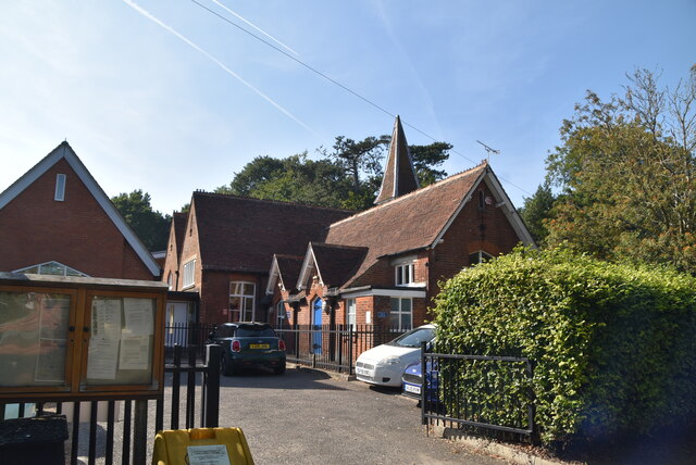
The village itself is small but has a strong sense of community. It is home to a few local amenities, including a church, a primary school, and a village hall. There are also a number of historic buildings in the area, some of which date back to the medieval period.

Kingston is well-connected to nearby towns and cities, with good transport links. The A2 road runs close by, providing easy access to London and the South East. The nearest railway station is in Sittingbourne, which offers regular services to London and other major destinations.

Overall, Kingston offers a peaceful and idyllic lifestyle, with its beautiful countryside, strong community spirit, and convenient location.

If you have any feedback on the listing, please let us know in the comments section below.
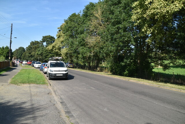
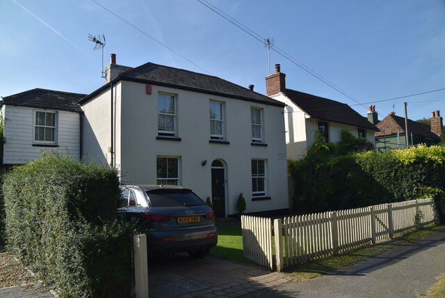
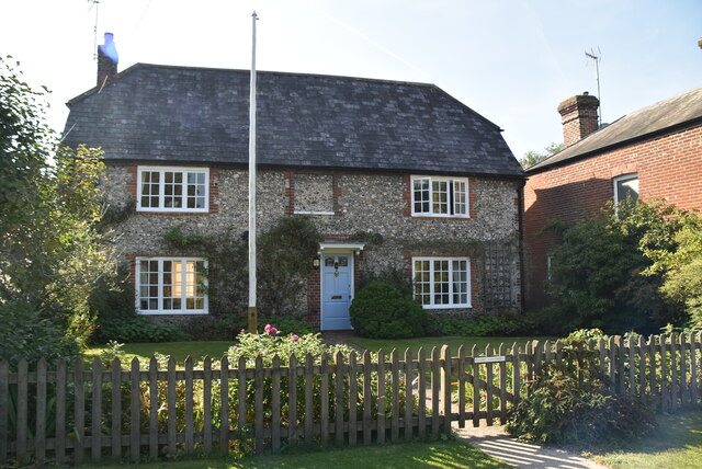
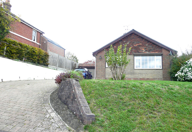
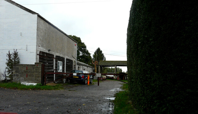
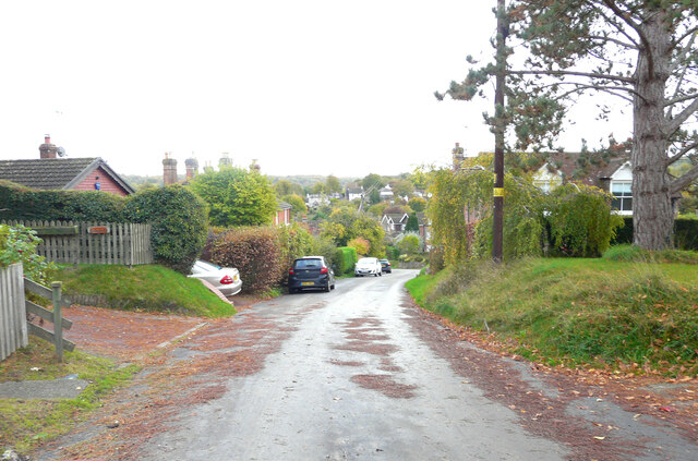
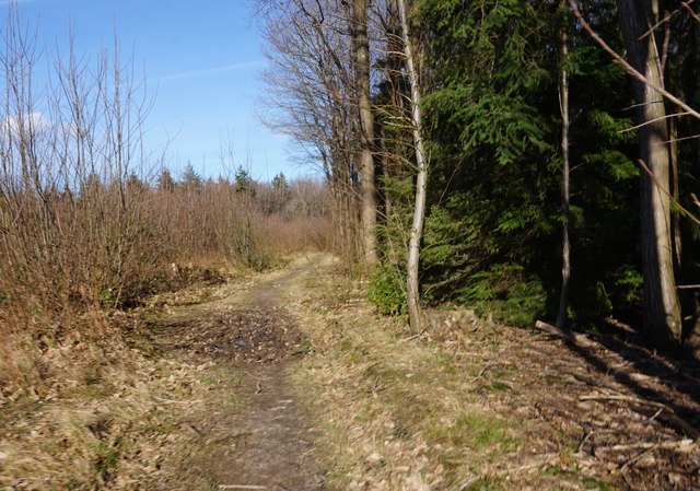
Kingston Images

Images are sourced within 2km of 51.21372/1.134043 or Grid Reference TR1850. Thanks to Geograph Open Source API. All images are credited.

Cornerways Grade II listed.
Cornerways
Grade II listed.
Ford Cottage and Railway Hill Grade II listed.
Ford Cottage and Railway Hill
Grade II listed.
Heathfield Way
Heathfield Way
Barham Village Store Barham is a village in the Elham Valley about 6 miles SE of Canterbury.
Wikipedia: <span class="nowrap"><a title="https://en.wikipedia.org/wiki/Barham,_Kent" rel="nofollow ugc noopener" href="https://en.wikipedia.org/wiki/Barham,_Kent">Link</a><img style="margin-left:2px;" alt="External link" title="External link - shift click to open in new window" src="https://s1.geograph.org.uk/img/external.png" width="10" height="10"/></span>
Barham Village Store
Barham is a village in the Elham Valley about 6 miles SE of Canterbury. Wikipedia: LinkExternal link
Barham Village Hall A village hall is usually a building within a village which contains at least one large room, usually owned by and run for the benefit of the local community. Such a hall is typically used for a variety of public and private events, such as parish council meetings, sports club functions, local drama productions, dances, jumble sales and private parties. Village halls sometimes have charitable status. They are occasionally called the village institute rather than village hall or community centres.
Barham Village Hall
A village hall is usually a building within a village which contains at least one large room, usually owned by and run for the benefit of the local community. Such a hall is typically used for a variety of public and private events, such as parish council meetings, sports club functions, local drama productions, dances, jumble sales and private parties. Village halls sometimes have charitable status. They are occasionally called the village institute rather than village hall or community centres.
Valley Rd
Valley Rd
Portland House Barham is a village in the Elham Valley about 6 miles SE of Canterbury.
Wikipedia: <span class="nowrap"><a title="https://en.wikipedia.org/wiki/Barham,_Kent" rel="nofollow ugc noopener" href="https://en.wikipedia.org/wiki/Barham,_Kent">Link</a><img style="margin-left:2px;" alt="External link" title="External link - shift click to open in new window" src="https://s1.geograph.org.uk/img/external.png" width="10" height="10"/></span>
Portland House
Barham is a village in the Elham Valley about 6 miles SE of Canterbury. Wikipedia: LinkExternal link
Flint Cottage Barham is a village in the Elham Valley about 6 miles SE of Canterbury.
Wikipedia: <span class="nowrap"><a title="https://en.wikipedia.org/wiki/Barham,_Kent" rel="nofollow ugc noopener" href="https://en.wikipedia.org/wiki/Barham,_Kent">Link</a><img style="margin-left:2px;" alt="External link" title="External link - shift click to open in new window" src="https://s1.geograph.org.uk/img/external.png" width="10" height="10"/></span>
Flint Cottage
Barham is a village in the Elham Valley about 6 miles SE of Canterbury. Wikipedia: LinkExternal link
Barham Primary School Barham is a village in the Elham Valley about 6 miles SE of Canterbury.
Wikipedia: <span class="nowrap"><a title="https://en.wikipedia.org/wiki/Barham,_Kent" rel="nofollow ugc noopener" href="https://en.wikipedia.org/wiki/Barham,_Kent">Link</a><img style="margin-left:2px;" alt="External link" title="External link - shift click to open in new window" src="https://s1.geograph.org.uk/img/external.png" width="10" height="10"/></span>
Barham Primary School
Barham is a village in the Elham Valley about 6 miles SE of Canterbury. Wikipedia: LinkExternal link
Long Meadow, Railway Hill Planning permission has been approved by Canterbury City Council under application number CA//22/01884 for a “single-storey, part rear, part side extension following demolition of existing conservatory and detached garage”.
Long Meadow, Railway Hill
Planning permission has been approved by Canterbury City Council under application number CA//22/01884 for a “single-storey, part rear, part side extension following demolition of existing conservatory and detached garage”.
Wheatfields, Railway Hill
Railway Hill The road has a steep incline.
Railway Hill
The road has a steep incline.
View of distant Barham From high ground by Ham Farm on Green Hills.
View of distant Barham
From high ground by Ham Farm on Green Hills.
Covet Lane Heading towards Kingston.
Covet Lane
Heading towards Kingston.
Field north of Green Hills Green Hills being the name of a road.
Field north of Green Hills
Green Hills being the name of a road.
Bridleway in Covert Wood
Bridleway towards Horsehead Farm
Show me another place!

Kingston is located at Grid Ref: TR1850 (Lat: 51.21372, Lng: 1.134043)

Administrative County: Kent

District: Canterbury

Police Authority: Kent

What 3 Words

///baffle.tropic.hires. Near Barham, Kent

Related Wikis

Marley, Canterbury

Marley is a scattered hamlet in the civil parish of Kingston, in the county of Kent, England. The hamlet is on a minor road about 1 mile (1.6 km) southwest...

Kingston, Kent

Kingston is a village and civil parish between Canterbury and Dover in Kent, South East England. The parish contains the hamlet of Marley. == History... ==

Bishopsbourne railway station

Bishopsbourne was a station on the Elham Valley Railway. It opened in 1889 and closed to passengers in 1940 and freight in 1947. == History == The station...
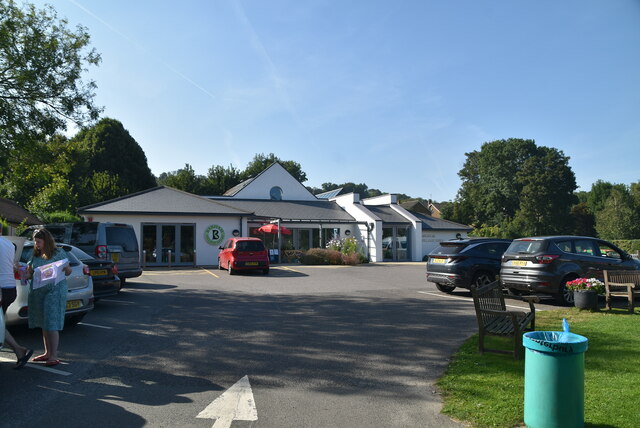
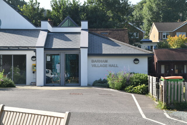
Barham, Kent

Barham is a village and civil parish in the City of Canterbury district of Kent, England. Barham village is approximately 6 miles (10 km) south-east from...

Nearby Amenities

Located within 500m of 51.21372,1.134043
Boormans Stud Farm
Place: farm
Lat/Long: 51.2155492/1.1404285
Historic: memorial
Inscription: Henry Moore 1898-1986 Sculptor lived here 1934-1940
Memorial: plaque
Lat/Long: 51.2125638/1.1351944
Post Box
Collection Times: Mo-Fr 09:00; Sa 07:00
Operator: Royal Mail
Operator Wikidata: Q638098
Post Box Mounting: metal_post
Post Box Type: lamp
Postal Code: CT4
Ref: CT4 211
Royal Cypher: EIIR
Source: survey
Lat/Long: 51.2099233/1.1310738
The data included in this document is from www.openstreetmap.org. The data is made available under ODbL.

Have you been to Kingston?

Leave your review of Kingston below (or comments, questions and feedback).