Kingston

Civil Parish in Sussex Arun

England

Kingston

Blue Waters Block of 9 flats on Sea Drive completed in 2009, replacing a mid 20th Century house named Lane End.
Blue Waters Credit: Ian Capper

Kingston is a civil parish located in the county of Sussex, England. It is situated near the South Downs National Park, approximately 6 miles north of Lewes and 13 miles east of Brighton. The parish covers an area of around 4.5 square miles and has a population of approximately 700 people.

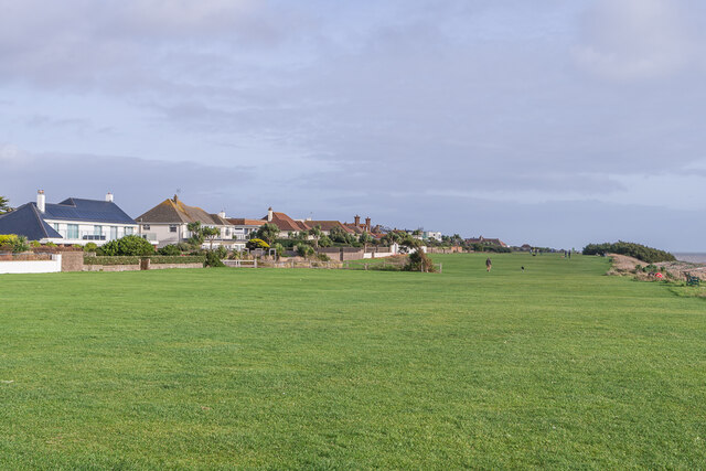
The village of Kingston is characterized by its charming rural setting, surrounded by rolling hills and picturesque countryside. It is a predominantly residential area, with a mix of traditional cottages and modern houses. The village has a close-knit community and a friendly, welcoming atmosphere.

One of the notable features of Kingston is its historic church, St Pancras Church, which dates back to the 13th century. The church is a Grade II listed building and boasts beautiful architecture, including a striking tower. It serves as a place of worship for the local community and also attracts visitors interested in its historical significance.

The parish is also home to several farms and agricultural land, reflecting its rural nature. The surrounding countryside provides ample opportunities for outdoor activities such as walking, cycling, and horse riding. The South Downs Way, a long-distance trail that stretches across the South Downs, passes through Kingston, offering stunning views of the landscape.

Despite its rural setting, Kingston benefits from good transport links, with nearby access to major roads and public transportation. This allows residents to easily commute to nearby towns and cities for work or leisure activities.

Overall, Kingston, Sussex is a charming and idyllic civil parish that offers a peaceful and rural lifestyle, with access to the beautiful Sussex countryside and nearby amenities.

If you have any feedback on the listing, please let us know in the comments section below.
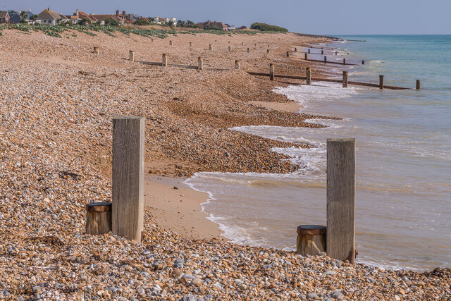
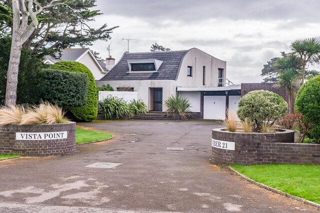
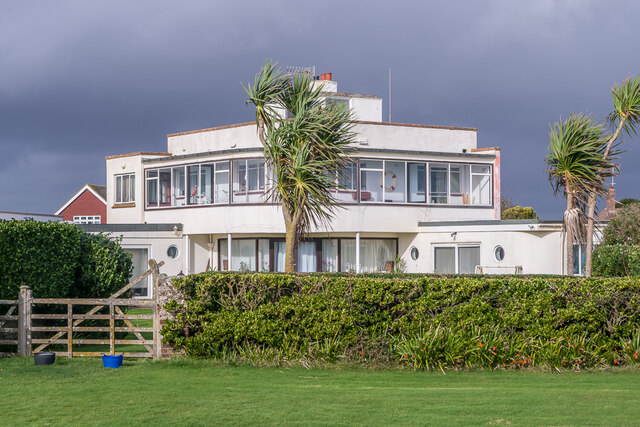
Kingston Images

Images are sourced within 2km of 50.807251/-0.463781 or Grid Reference TQ0801. Thanks to Geograph Open Source API. All images are credited.

Blue Waters Block of 9 flats on Sea Drive completed in 2009, replacing a mid 20th Century house named Lane End.
Blue Waters
Block of 9 flats on Sea Drive completed in 2009, replacing a mid 20th Century house named Lane End.
West Kingston Beach Groynes on the beach at West Kingston.
West Kingston Beach
Groynes on the beach at West Kingston.
Beach art Artwork in pebbles and shells on the beach at West Kingston.
Beach art
Artwork in pebbles and shells on the beach at West Kingston.
Tree sculpture A marine tree sculpture in the garden of 3 South Drive.
Tree sculpture
A marine tree sculpture in the garden of 3 South Drive.
Vista Point House on Tamarisk Way in the Willowhayne Estate.  The building was designed by Patrick Gwynne and completed in 1970.  It is described in The Buildings of England: Susses, West as "a more organic reprise, in technologically advanced materials, of South Cost Modern Movement houses".  Grade II listed - see <span class="nowrap"><a title="www.historicengland.org.uk/listing/the-list/list-entry/1396577" rel="nofollow ugc noopener" href="http://www.historicengland.org.uk/listing/the-list/list-entry/1396577">Link</a><img style="margin-left:2px;" alt="External link" title="External link - shift click to open in new window" src="https://s1.geograph.org.uk/img/external.png" width="10" height="10"/></span>.
Vista Point
House on Tamarisk Way in the Willowhayne Estate. The building was designed by Patrick Gwynne and completed in 1970. It is described in The Buildings of England: Susses, West as "a more organic reprise, in technologically advanced materials, of South Cost Modern Movement houses". Grade II listed - see LinkExternal link.
Runnymede House on Coastal Road in the West Kingston Estate, viewed from The Greensward.  The building is a rare example of a Sunspan house, a pre-fabricated design by architect and engineer Wells Coates in conjunction with David Pleydell-Bouverie, of which only around 15 were built in UK.  Completed in 1936, it is grade II listed - see <span class="nowrap"><a title="www.historicengland.org.uk/listing/the-list/list-entry/1419211" rel="nofollow ugc noopener" href="http://www.historicengland.org.uk/listing/the-list/list-entry/1419211">Link</a><img style="margin-left:2px;" alt="External link" title="External link - shift click to open in new window" src="https://s1.geograph.org.uk/img/external.png" width="10" height="10"/></span>.
Runnymede
House on Coastal Road in the West Kingston Estate, viewed from The Greensward. The building is a rare example of a Sunspan house, a pre-fabricated design by architect and engineer Wells Coates in conjunction with David Pleydell-Bouverie, of which only around 15 were built in UK. Completed in 1936, it is grade II listed - see LinkExternal link.
The Beach House House on Gorse Avenue in the Kingston Gorse Estate.  Built in around 2015, designed by Worthing architects Saville Jones, it replaced a previous 1930s house on the site, Dolphins.
The Beach House
House on Gorse Avenue in the Kingston Gorse Estate. Built in around 2015, designed by Worthing architects Saville Jones, it replaced a previous 1930s house on the site, Dolphins.
Sea Lane House House on the corner of Sea Lane and Coastal Road.  Completed in 1937, it was designed by Marcel Bauer and F R S Yorke.  Grade II listed  - see <span class="nowrap"><a title="www.historicengland.org.uk/listing/the-list/list-entry/1353897" rel="nofollow ugc noopener" href="http://www.historicengland.org.uk/listing/the-list/list-entry/1353897">Link</a><img style="margin-left:2px;" alt="External link" title="External link - shift click to open in new window" src="https://s1.geograph.org.uk/img/external.png" width="10" height="10"/></span>.
Sea Lane House
House on the corner of Sea Lane and Coastal Road. Completed in 1937, it was designed by Marcel Bauer and F R S Yorke. Grade II listed - see LinkExternal link.
Sea Barn 19th Century barn, now converted to a home, in Brookside Road on the Kingston Gorse Estate.  Grade II listed  - see <span class="nowrap"><a title="www.historicengland.org.uk/listing/the-list/list-entry/1027595" rel="nofollow ugc noopener" href="http://www.historicengland.org.uk/listing/the-list/list-entry/1027595">Link</a><img style="margin-left:2px;" alt="External link" title="External link - shift click to open in new window" src="https://s1.geograph.org.uk/img/external.png" width="10" height="10"/></span>.
Sea Barn
19th Century barn, now converted to a home, in Brookside Road on the Kingston Gorse Estate. Grade II listed - see LinkExternal link.
11 Tamarisk Way House on Tamarisk Way in the Willowhayne Estate, named Laguna on the 1961 1:2,500 map.  On the right is East Walk, providing a connection to South Walk and the beach.
11 Tamarisk Way
House on Tamarisk Way in the Willowhayne Estate, named Laguna on the 1961 1:2,500 map. On the right is East Walk, providing a connection to South Walk and the beach.
67 - 71 Coastal Road Houses on Coastal Road in the West Kingston Estate, viewed from The Greensward.  Nos 69 and 71 on the left, were built around the mid 2010s, replacing a single previous dwelling.  No 67, on the right, was significantly altered around the same time, including the replacement of a pitched roof with a sun lounge.  Although each is very different in design, there is an element of uniformity in the three buildings.
67 - 71 Coastal Road
Houses on Coastal Road in the West Kingston Estate, viewed from The Greensward. Nos 69 and 71 on the left, were built around the mid 2010s, replacing a single previous dwelling. No 67, on the right, was significantly altered around the same time, including the replacement of a pitched roof with a sun lounge. Although each is very different in design, there is an element of uniformity in the three buildings.
Seat and post box A seat and post box in a small garden at the junction of Seaview Avenue with South Strand.
Seat and post box
A seat and post box in a small garden at the junction of Seaview Avenue with South Strand.
North Cottage and Lighthouse Cottage Semi-detached pair of cottages at the end of Sea Lane.  They long pre-date the rest of the Kingston Gorse estate, being marked (as "Lighthouse Cottages") on the 1899 6 inch map.
North Cottage and Lighthouse Cottage
Semi-detached pair of cottages at the end of Sea Lane. They long pre-date the rest of the Kingston Gorse estate, being marked (as "Lighthouse Cottages") on the 1899 6 inch map.
Tye House Large house on Coastal Road (no 19) in the West Kingston estate.  The current house was built around 2007, designed by local architect Neil Holland, and won a Sussex Heritage Trust award that year.  It replaced a previous house of the same name, presumably dating from the 1930s when the road was first developed.
Tye House
Large house on Coastal Road (no 19) in the West Kingston estate. The current house was built around 2007, designed by local architect Neil Holland, and won a Sussex Heritage Trust award that year. It replaced a previous house of the same name, presumably dating from the 1930s when the road was first developed.
The Greensward Grass area alongside the beach at West Kingston, with houses in Coastal Road on the left.
The Greensward
Grass area alongside the beach at West Kingston, with houses in Coastal Road on the left.
The Greensward Grass area alongside the beach at West Kingston, with houses in Coastal Road on the left.
The Greensward
Grass area alongside the beach at West Kingston, with houses in Coastal Road on the left.
The Greensward Looking west from Sea Lane, East Preston.
The Greensward
Looking west from Sea Lane, East Preston.
Show me another place!

Kingston is located at Grid Ref: TQ0801 (Lat: 50.807251, Lng: -0.463781)

Administrative County: West Sussex

District: Arun

Police Authority: Sussex

What 3 Words

///tissue.slippers.bunk. Near Goring-by-Sea, West Sussex

Related Wikis

East Preston & Ferring (electoral division)

East Preston & Ferring is an electoral division of West Sussex in the United Kingdom and returns one member to sit on West Sussex County Council. The current...

Kingston by Ferring

Kingston or Kingston by Ferring, is a small civil parish in the Arun District of West Sussex, England. It is a combination of a farmed rural interior and...
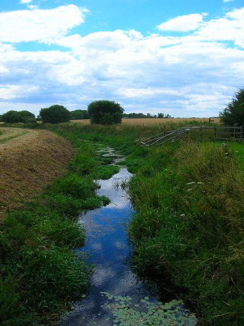
Ferring Rife

The Ferring Rife is a stream in West Sussex, England that rises in the West Durrington area of Worthing. It has multiple sources including one near Castle...
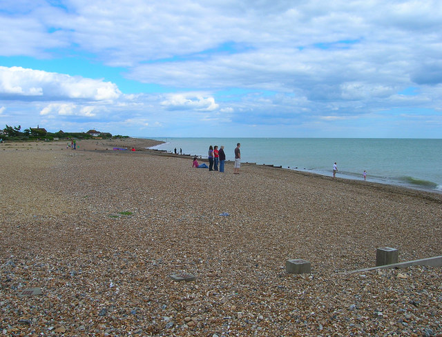
Ferring

Ferring is a coastal village, civil parish and electoral ward in the Arun District of West Sussex, England. It is part of the built-up area of Worthing...

East Preston, West Sussex

East Preston is a coastal village and civil parish in the Arun District of West Sussex, England. It lies roughly halfway between Littlehampton and Worthing...

East Preston F.C.

East Preston Football Club is a football club based in East Preston, near Littlehampton, West Sussex, England. They are currently members of the Southern...

Angmering railway station

Angmering is a railway station on the West Coastway Line, on the border of Angmering and East Preston in the district of Arun. It was opened in 1846. The...

Angmering School

The Angmering School is a coeducational community secondary school and sixth form located in Angmering, West Sussex that opened in 1975. The school has...

Nearby Amenities

Located within 500m of 50.807251,-0.463781
Post Box
Brand: Royal Mail
Brand Wikidata: Q638098
Brand Wikipedia: en:Royal Mail
Collection Plate: CP5D
Collection Times: Mo-Fr 09:00; Sa 07:00
Old Ref: BN16 1469
Operator: Royal Mail
Operator Wikidata: Q638098
Post Box Mounting: brick_pillar
Post Box Type: wall
Ref: BN16 1469D
Royal Cypher: GR
Royal Cypher Wikidata: Q33102273
Source: survey
Lat/Long: 50.8074081/-0.4607327
East Kingston
Place: hamlet
Source: OS 1:25 (NLS)
Wikidata: Q3197138
Lat/Long: 50.8077467/-0.4597681
Barrier: kissing_gate
Lat/Long: 50.8031682/-0.461971
Historic: memorial
Lat/Long: 50.806504/-0.4607693
The data included in this document is from www.openstreetmap.org. The data is made available under ODbL.

Have you been to Kingston?

Leave your review of Kingston below (or comments, questions and feedback).