Kingston
Civil Parish in Cambridgeshire South Cambridgeshire
England
Kingston
Kingston is a civil parish located in the county of Cambridgeshire, England. Situated in the South Cambridgeshire district, it lies approximately 10 miles south-west of the city of Cambridge and covers an area of around 6.5 square miles.
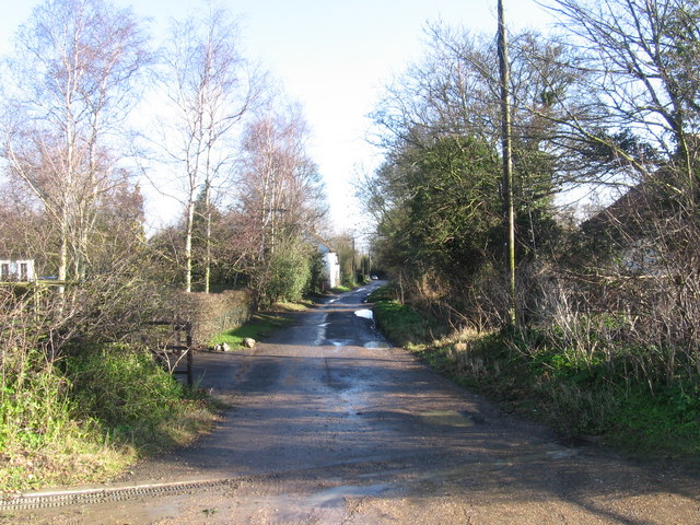
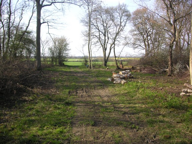
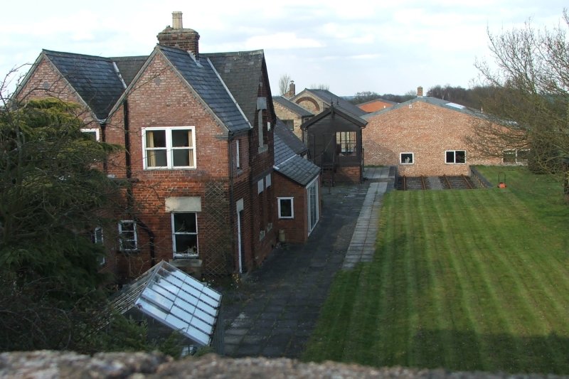
The village of Kingston is a small, picturesque settlement with a population of around 300 residents. It is known for its charming thatched cottages, historic buildings, and tranquil countryside surroundings. The parish is predominantly rural, with the River Cam flowing through the eastern part of the area, offering beautiful views and recreational opportunities.
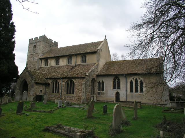
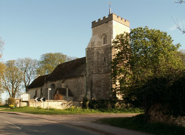
Kingston holds a rich history that dates back to the Roman era, with archaeological evidence suggesting human activity in the area for over 2,000 years. The village is home to the Church of All Saints, a Grade II listed building that dates back to the 12th century. The church is known for its stunning architecture and hosts regular services for the local community.
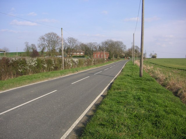
Although small in size, Kingston offers several amenities to its residents. These include a village hall, a primary school, and a pub that serves as a social hub for locals. The village is well-connected to neighboring towns and cities by road, with the A603 providing easy access to Cambridge and other nearby areas.
In summary, Kingston is a charming and historic civil parish in Cambridgeshire. With its beautiful countryside, historic buildings, and close-knit community, it offers a peaceful and idyllic setting for its residents.
If you have any feedback on the listing, please let us know in the comments section below.
Kingston Images
Images are sourced within 2km of 52.171397/-0.041961 or Grid Reference TL3354. Thanks to Geograph Open Source API. All images are credited.


Kingston is located at Grid Ref: TL3354 (Lat: 52.171397, Lng: -0.041961)
Administrative County: Cambridgeshire
District: South Cambridgeshire
Police Authority: Cambridgeshire
What 3 Words
///swatting.solves.rave. Near Comberton, Cambridgeshire
Nearby Locations
Related Wikis
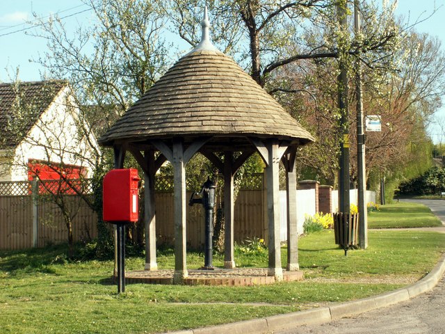
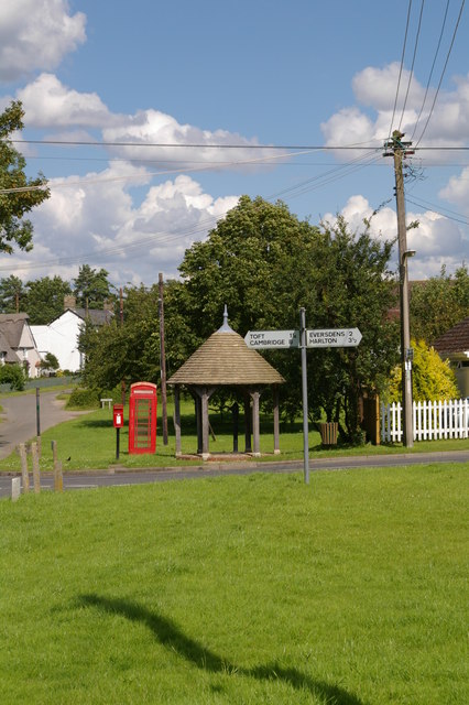
Kingston, Cambridgeshire
Kingston is a small village and parish in the East of England region and the county Cambridgeshire in the United Kingdom. Situated 7 miles to the west...
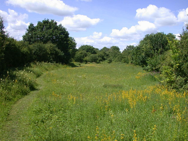
Kingston and Bourn Old Railway
Kingston and Bourn Old Railway or Kingston Amenity Area is a linear 1.9-hectare (4.7-acre) Local Nature Reserve between Kingston and Bourn in Cambridgeshire...

Kingston Wood and Outliers
Kingston Wood and Outliers is a 47.4-hectare (117-acre) biological Site of Special Scientific Interest south-west of Kingston in Cambridgeshire. The site...

Wysing Arts Centre
Wysing Arts Centre is a contemporary arts residency centre and campus for artistic production, experimentation and learning in South Cambridgeshire, England...
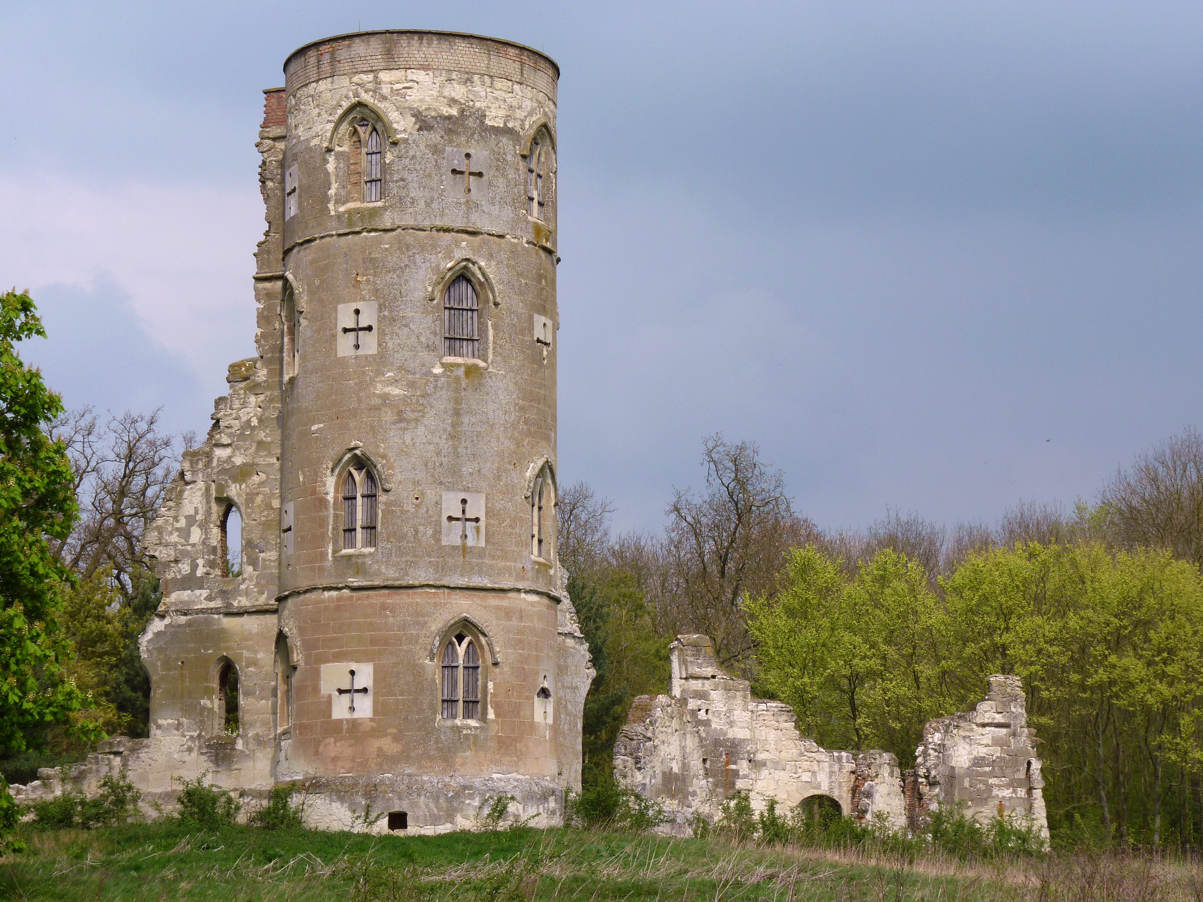
Wimpole's Folly
Wimpole's Folly is a folly ruin located in the grounds of Wimpole Hall, in the parish of Wimpole, in Cambridgeshire, England.The folly is designed to resemble...
Old North Road railway station
Old North Road was a railway station on the Varsity Line which served the small village of Longstowe near Bourn in Cambridgeshire. As its name suggests...

Bourn
Bourn is a small village and civil parish in South Cambridgeshire, England. Surrounding villages include Caxton, Eltisley and Cambourne. It is 8 miles...
Great Eversden
Great Eversden is a village 6 miles south-west of Cambridge, England. The population of the civil parish at the 2011 Census was 241. The Prime Meridian...
Nearby Amenities
Located within 500m of 52.171397,-0.041961Have you been to Kingston?
Leave your review of Kingston below (or comments, questions and feedback).