Kearby with Netherby
Civil Parish in Yorkshire Harrogate
England
Kearby with Netherby
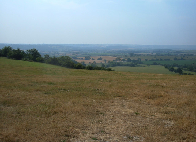
Kearby with Netherby is a civil parish located in the county of Yorkshire, England. Situated in the Lower Wharfedale area, the parish covers a land area of approximately 4 square kilometers. It is nestled in the picturesque countryside, surrounded by rolling hills and scenic landscapes.
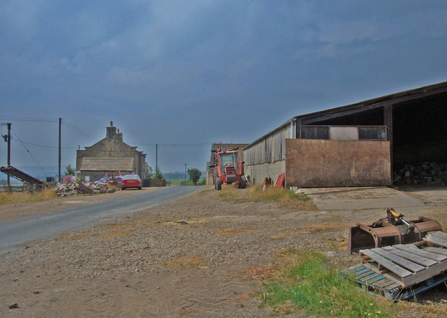
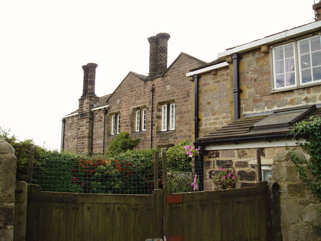
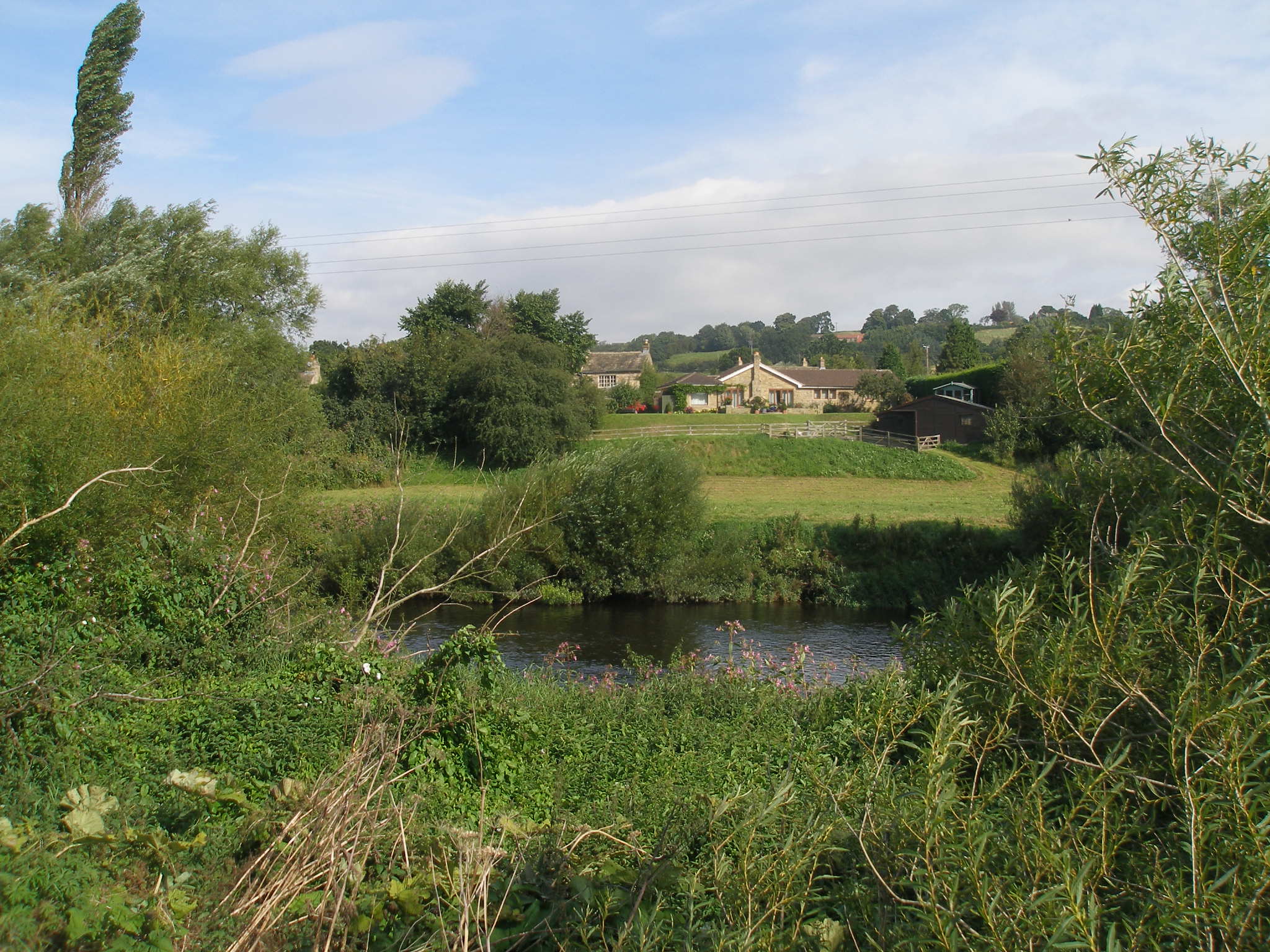
The parish consists of two small villages, Kearby and Netherby, which are located in close proximity to each other. Kearby is the larger of the two villages, with a handful of houses and a small church. Netherby, on the other hand, is a smaller settlement, characterized by a few cottages and a charming village hall.
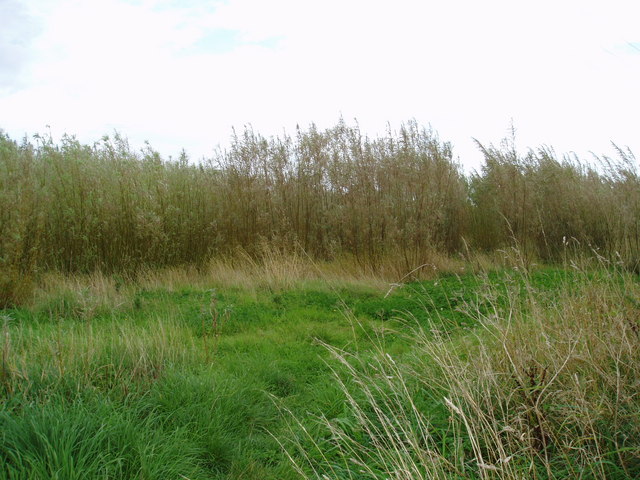
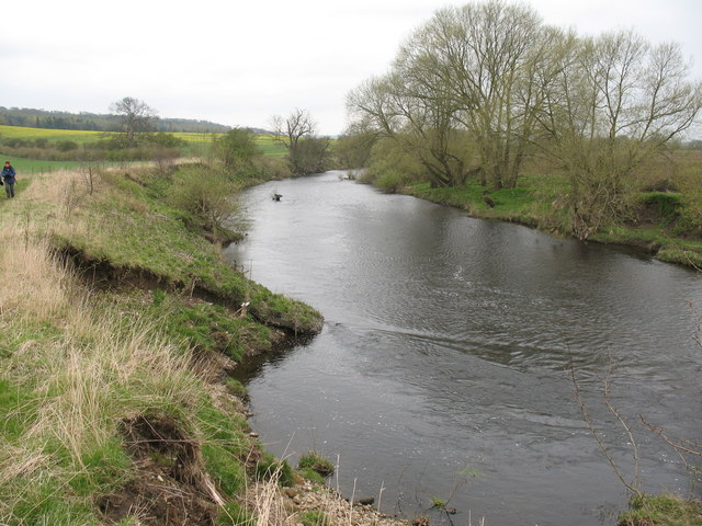
The area is known for its tranquil and rural atmosphere, making it a popular destination for those seeking a peaceful retreat. The surrounding countryside offers various walking and cycling routes, allowing visitors to explore the natural beauty of the region. Moreover, the nearby River Wharfe provides opportunities for fishing and other water-based activities.
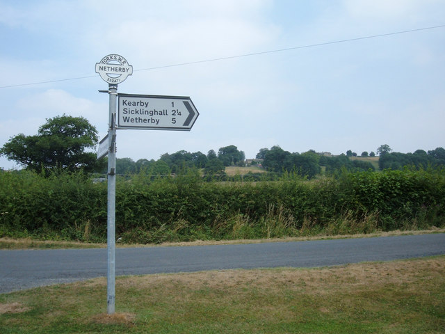
Despite its small size, Kearby with Netherby is well-connected to nearby towns and cities. The parish is located just a short drive away from the market town of Wetherby, which offers a range of amenities including shops, restaurants, and schools. The city of Leeds is also easily accessible, providing residents with access to further employment and recreational opportunities.
Overall, Kearby with Netherby is a charming civil parish that offers a peaceful and idyllic setting amidst the beautiful Yorkshire countryside.
If you have any feedback on the listing, please let us know in the comments section below.
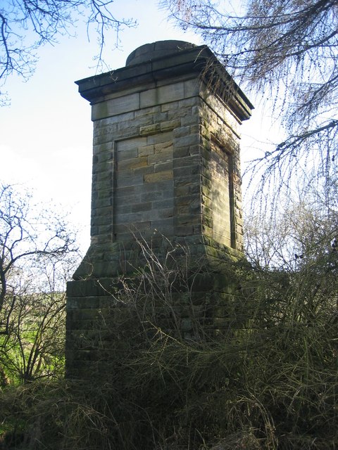
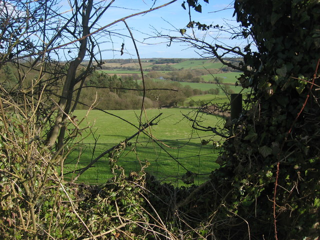
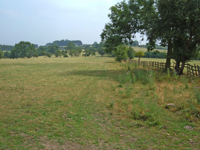
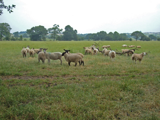
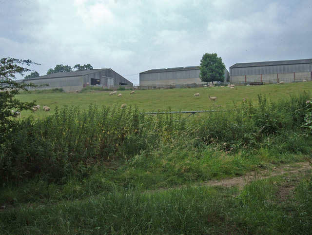
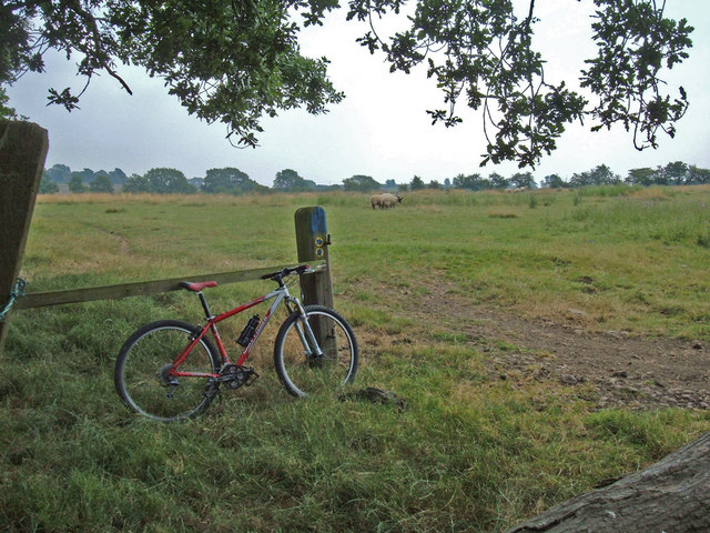
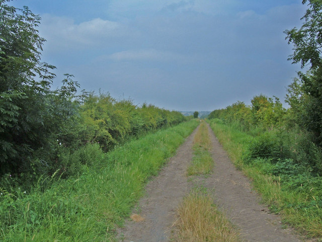
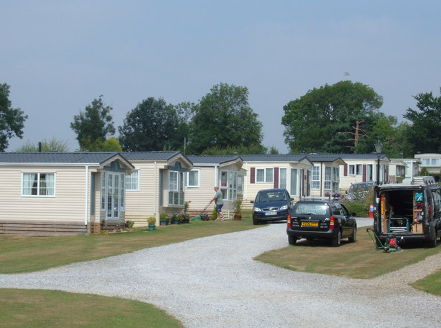
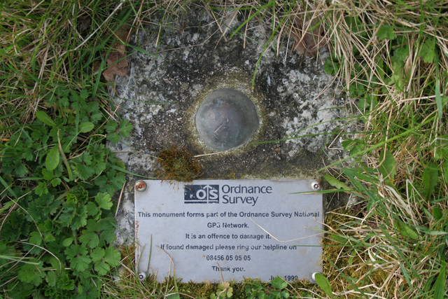
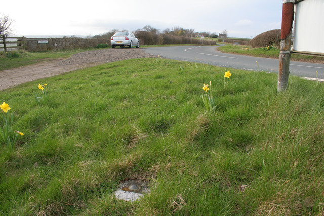
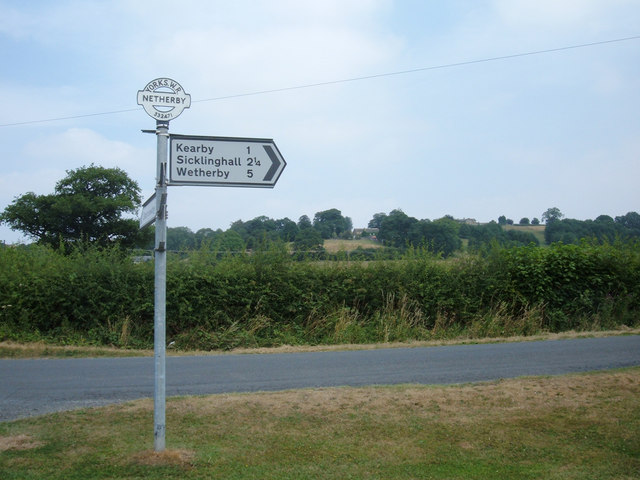
Kearby with Netherby Images
Images are sourced within 2km of 53.921094/-1.486961 or Grid Reference SE3347. Thanks to Geograph Open Source API. All images are credited.
Kearby with Netherby is located at Grid Ref: SE3347 (Lat: 53.921094, Lng: -1.486961)
Division: West Riding
Administrative County: North Yorkshire
District: Harrogate
Police Authority: North Yorkshire
What 3 Words
///liquids.besotted.reef. Near East Keswick, West Yorkshire
Nearby Locations
Related Wikis
Kearby with Netherby
Kearby with Netherby is a civil parish in North Yorkshire, England. The parish includes the hamlets of Barrowby, Netherby and Kearby Town End. The parish...
Netherby, North Yorkshire
Netherby is a village in the Harrogate district of North Yorkshire, England.

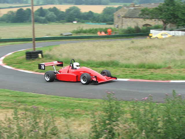
Harewood speed Hillclimb
Harewood speed Hillclimb (the form with italics and a lower-case s is used officially) is a hillclimb near the village of Harewood, West Yorkshire, England...

Knight Air Flight 816
Knight Air Flight 816, being flown by G-OEAA, an Embraer 110 Bandeirante belonging to Knight Air, was an internal (domestic) scheduled flight operating...

Kirkby Overblow
Kirkby Overblow is a village and civil parish in North Yorkshire, England. It is situated between Wetherby and Harrogate and lies to the west of Sicklinghall...
Harewood Castle
Harewood Castle is a 14th-century stone hall house and courtyard fortress, located on the Harewood Estate, Harewood, in West Yorkshire, England (Grid Reference...

Sicklinghall
Sicklinghall is a village and civil parish in North Yorkshire, England that is situated between the town of Wetherby (3 miles (5 km) to the east) and the...

Harewood, West Yorkshire
Harewood ( HAIR-wuud) is a village, civil parish, former manor and ecclesiastical parish, in West Yorkshire, England, today in the metropolitan borough...
Nearby Amenities
Located within 500m of 53.921094,-1.486961Have you been to Kearby with Netherby?
Leave your review of Kearby with Netherby below (or comments, questions and feedback).