Keadby with Althorpe
Civil Parish in Lincolnshire
England
Keadby with Althorpe

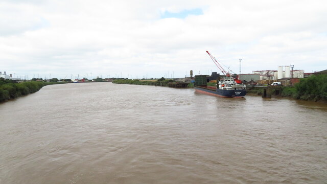
Keadby with Althorpe is a civil parish located in the county of Lincolnshire in England. It is situated on the western bank of the River Trent, approximately 6 miles north of Scunthorpe.
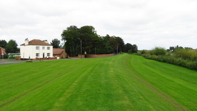
Keadby with Althorpe is a primarily rural area, with a small population of around 700 residents. The parish consists of two villages: Keadby and Althorpe. Keadby is the larger of the two, known for its industrial heritage, particularly in the field of iron and steel production. The area was historically associated with the growth of the steel industry in the late 19th and early 20th centuries, with the construction of the Keadby Steel Works in the 1870s. Today, the steel works continue to operate, contributing to the local economy.
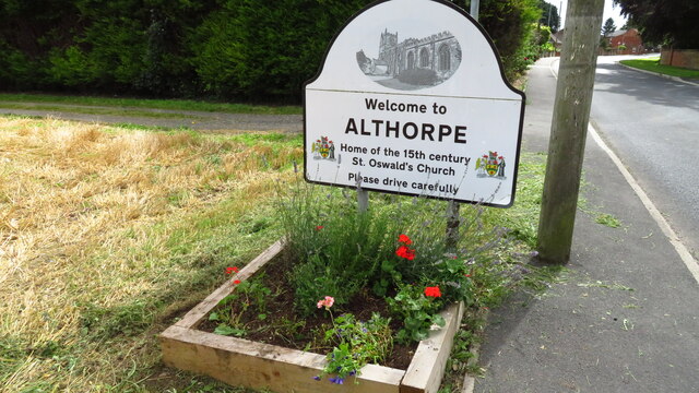
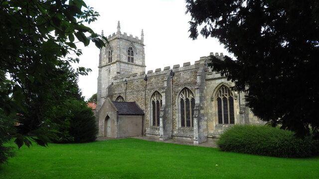
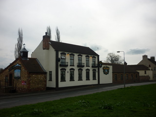
Althorpe, on the other hand, is a smaller village known for its picturesque setting and rural charm. It is home to Althorpe Hall, a Grade I listed country house dating back to the 16th century. The hall is surrounded by beautiful parkland, offering a tranquil retreat for visitors and locals alike.
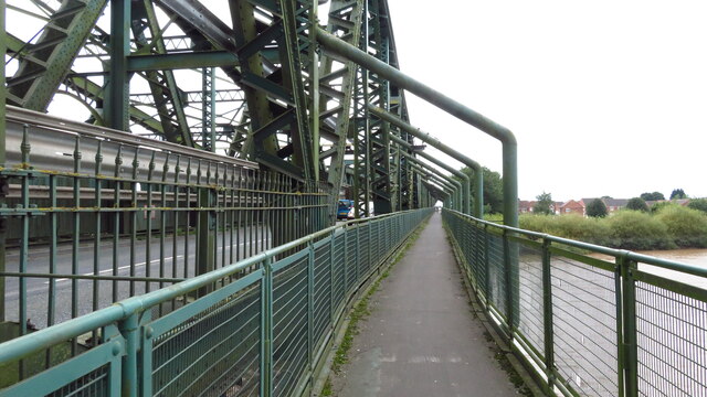
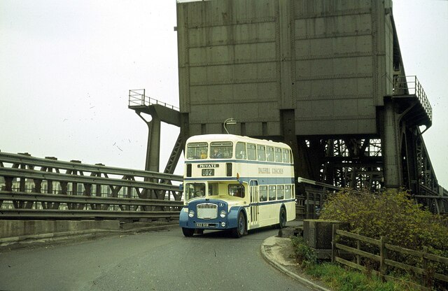
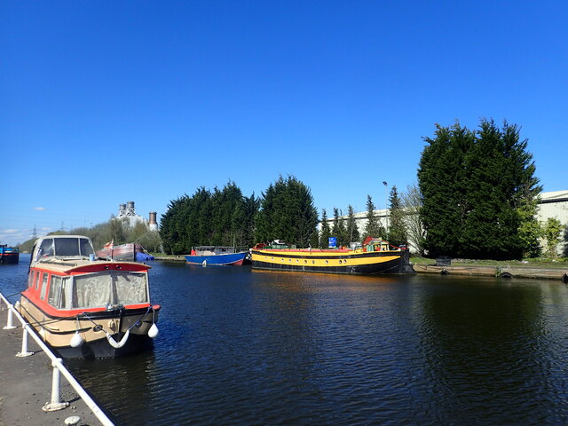
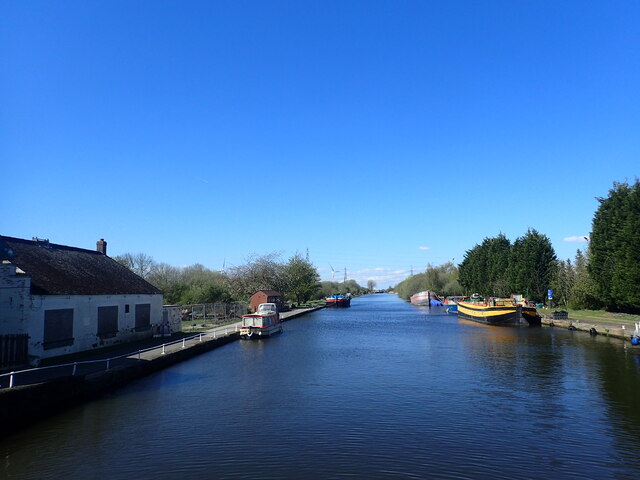
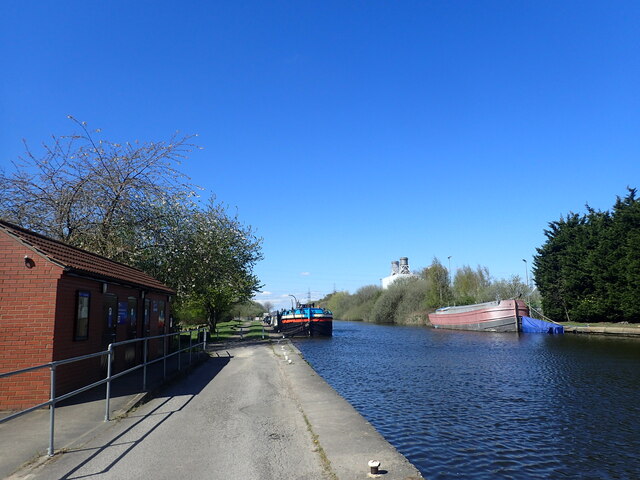
The parish is well connected, with the M180 motorway passing through the area, providing easy access to nearby towns and cities. The River Trent also offers opportunities for recreational activities such as boating and fishing.
Overall, Keadby with Althorpe is a peaceful and scenic civil parish, combining industrial heritage with natural beauty, making it an attractive place to live or visit.
If you have any feedback on the listing, please let us know in the comments section below.
Keadby with Althorpe Images
Images are sourced within 2km of 53.587364/-0.756748 or Grid Reference SE8210. Thanks to Geograph Open Source API. All images are credited.


Keadby with Althorpe is located at Grid Ref: SE8210 (Lat: 53.587364, Lng: -0.756748)
Unitary Authority: North Lincolnshire
Police Authority: Humberside
What 3 Words
///jolly.skirting.loft. Near Keadby, Lincolnshire
Nearby Locations
Related Wikis
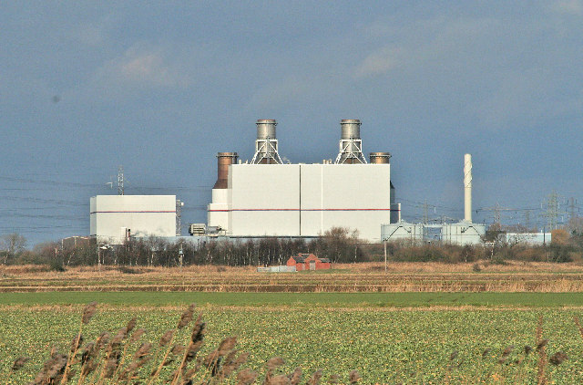
Keadby Power Stations
Keadby Power Stations are a pair of natural gas-fired power stations near Scunthorpe in North Lincolnshire, built on the site of an older coal power station...

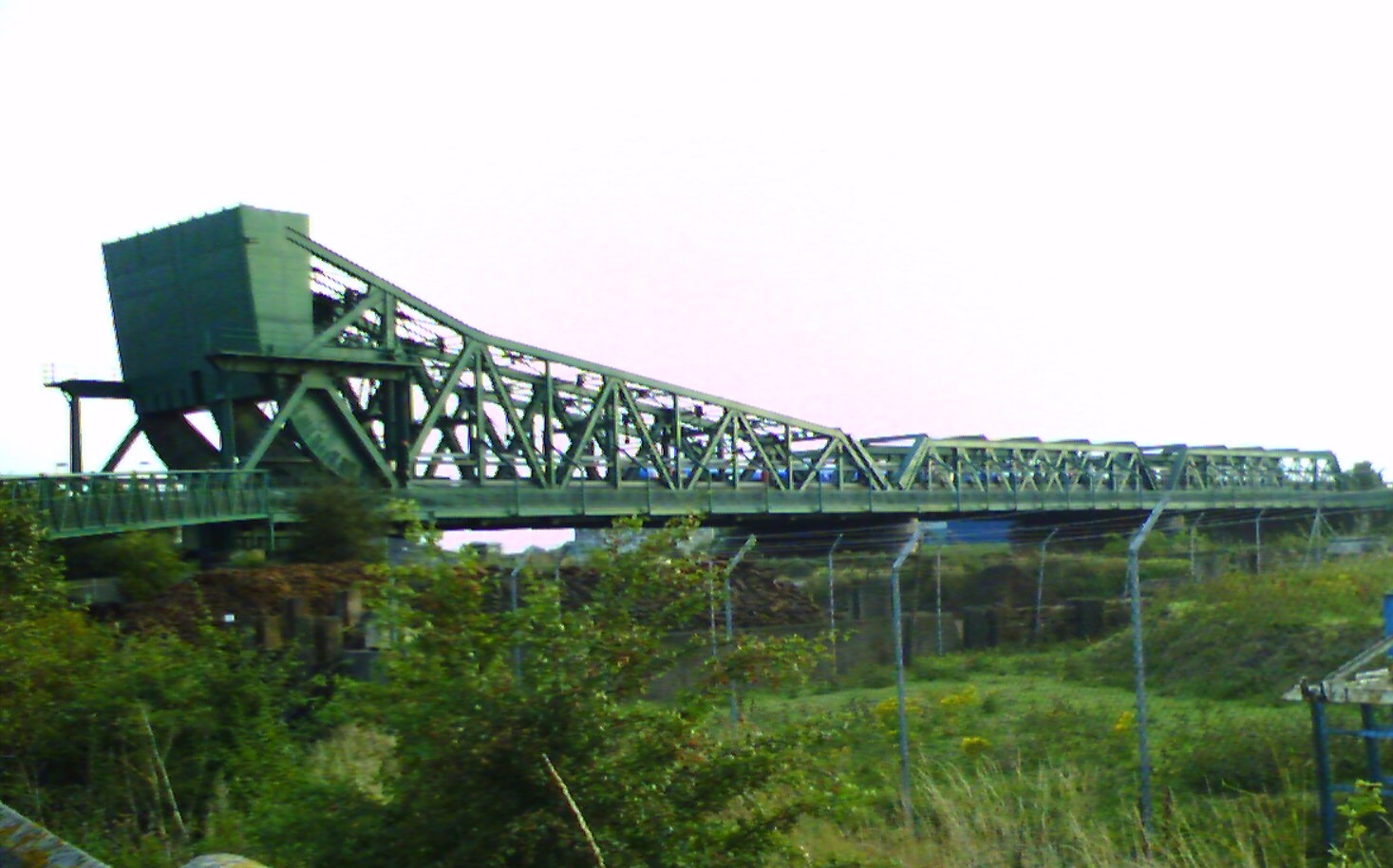
Keadby railway station
The original Keadby railway station was the easternmost terminus of the South Yorkshire Railway. The railway, which was extended from Thorne and opened...
Keadby
Keadby is a small village and former civil parish, now in the parish of Keadby with Althorpe, in the North Lincolnshire district, in the ceremonial county...
Althorpe
Althorpe is a small village and former civil parish, now in the parish of Keadby with Althorpe, in the North Lincolnshire district, in the ceremonial county...
Nearby Amenities
Located within 500m of 53.587364,-0.756748Have you been to Keadby with Althorpe?
Leave your review of Keadby with Althorpe below (or comments, questions and feedback).