Iron Acton

Civil Parish in Gloucestershire

England

Iron Acton

Latteridge Cottages at Lateridge village near centre of grid square
Latteridge Credit: Chris Shaw

Iron Acton is a civil parish located in the county of Gloucestershire, England. It is situated about 12 miles north of the city of Bristol and covers an area of approximately 10 square miles. The parish is composed of the village of Iron Acton and its surrounding rural areas.

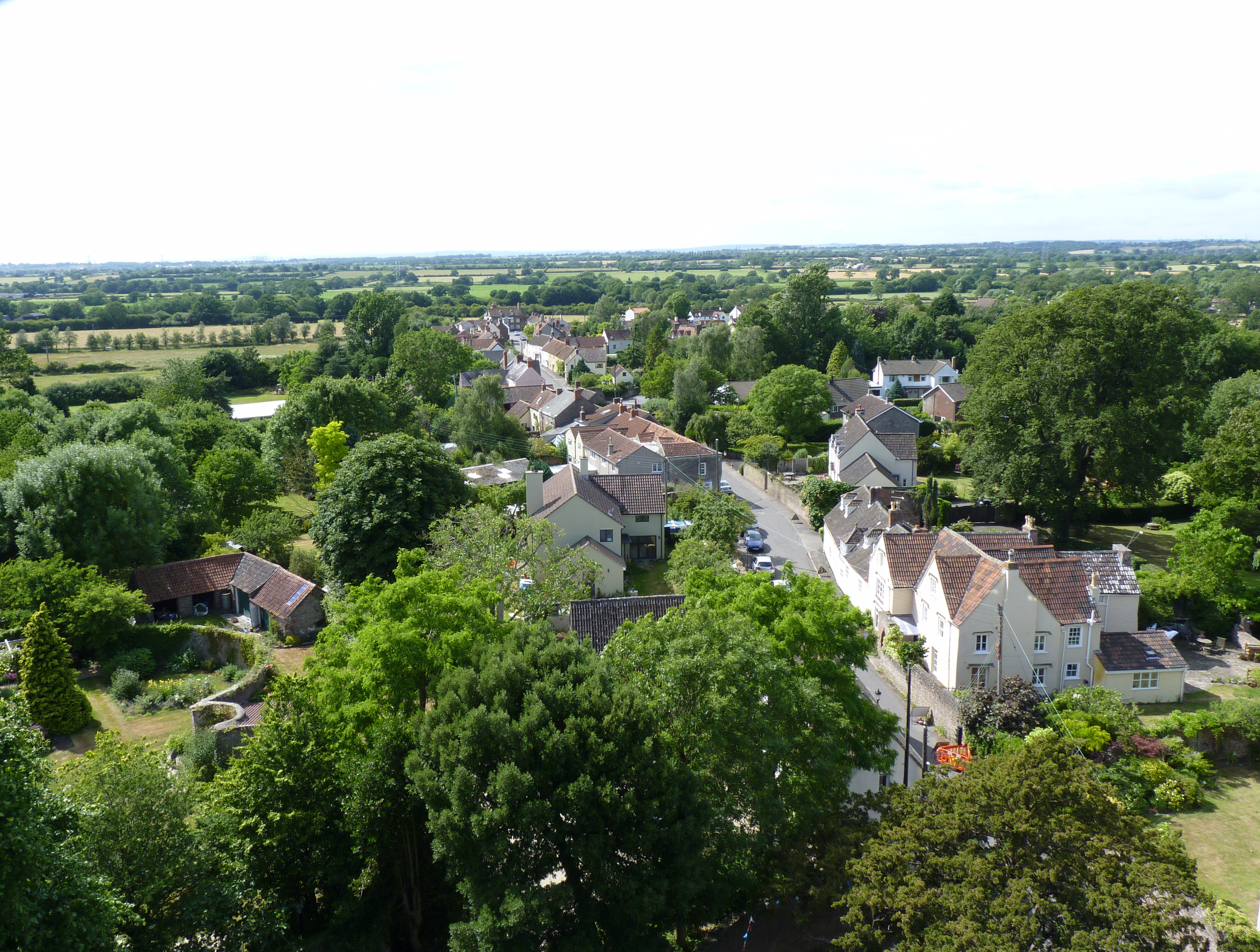
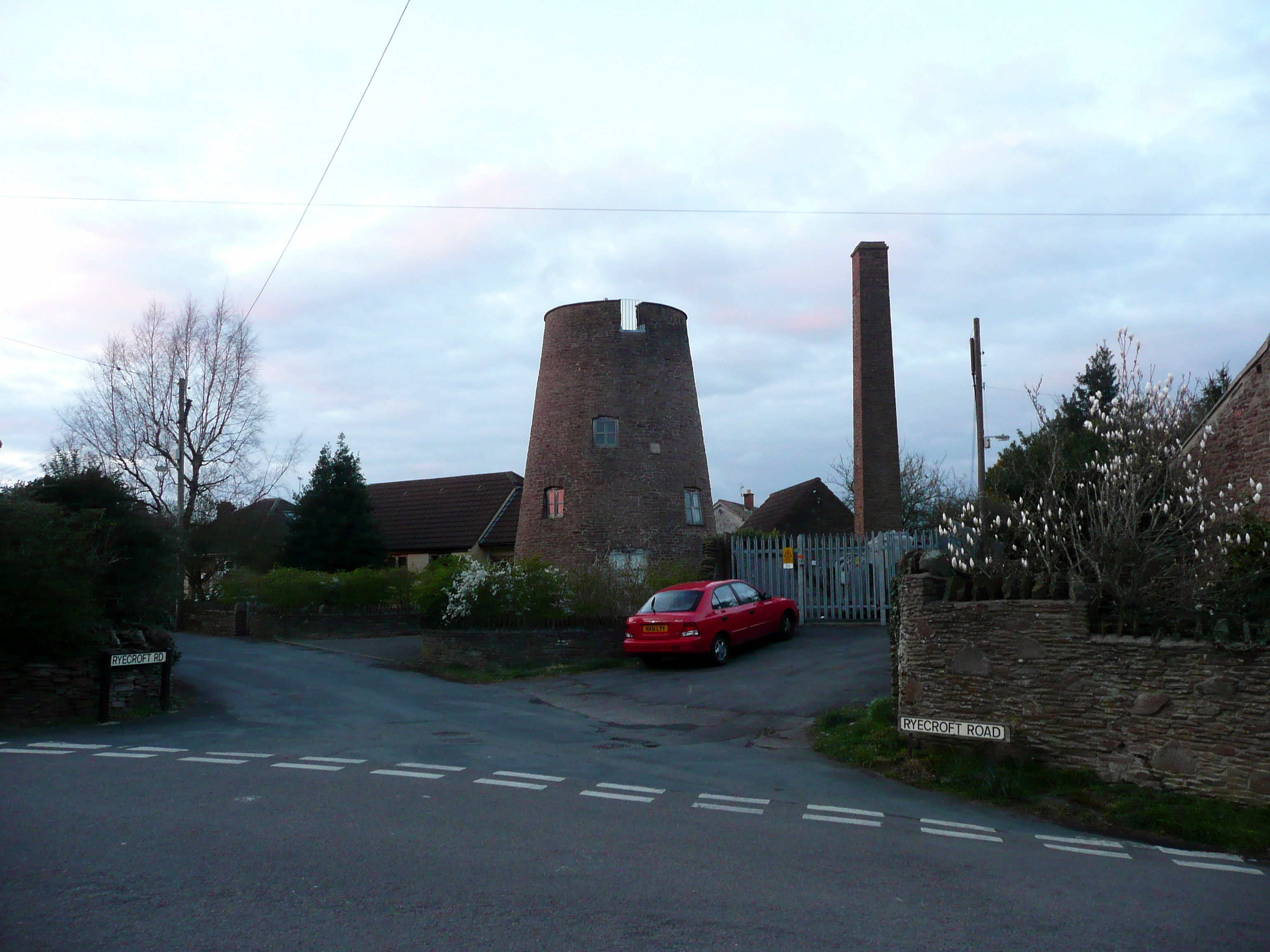
The village of Iron Acton has a rich history dating back to the medieval period. It was originally known for its ironworking industry, which thrived in the area due to the abundance of iron ore in the local mines. The village grew around the industry and became a significant center for iron production in the region.

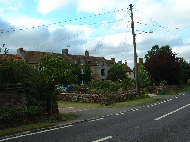
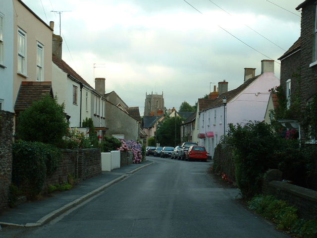
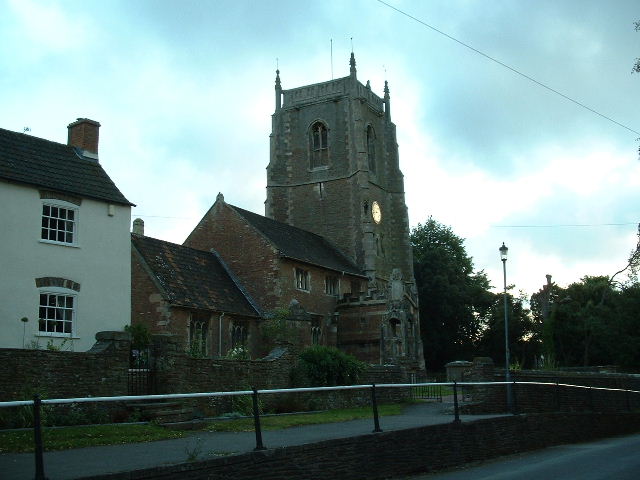
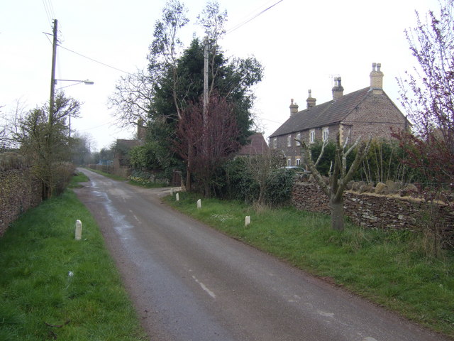
Today, Iron Acton is a charming village with a population of around 2,000 residents. It offers a picturesque countryside setting with rolling hills, fields, and woodlands. The village is known for its well-preserved historic buildings, including St. James' Church, which dates back to the 12th century.

Iron Acton is a close-knit community with a range of amenities and services, including a primary school, a village hall, a post office, and several shops and pubs. The village also has a strong sense of community spirit, with various social and recreational activities organized throughout the year.

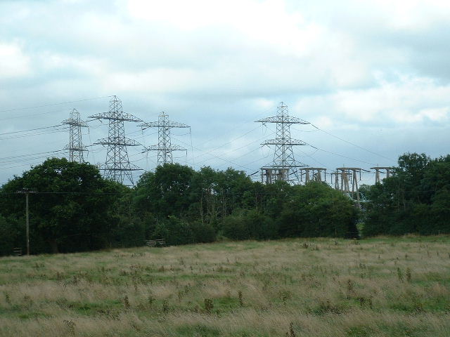
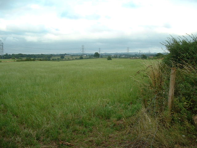
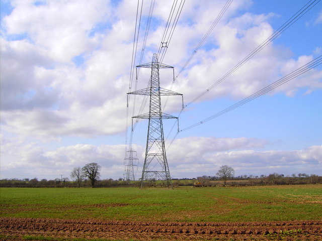
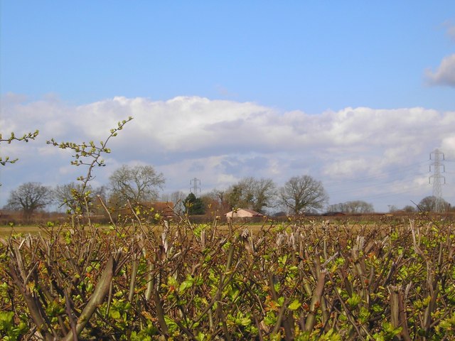
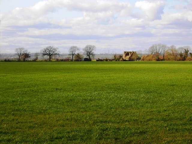
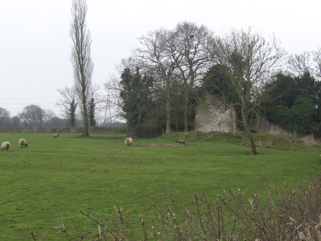
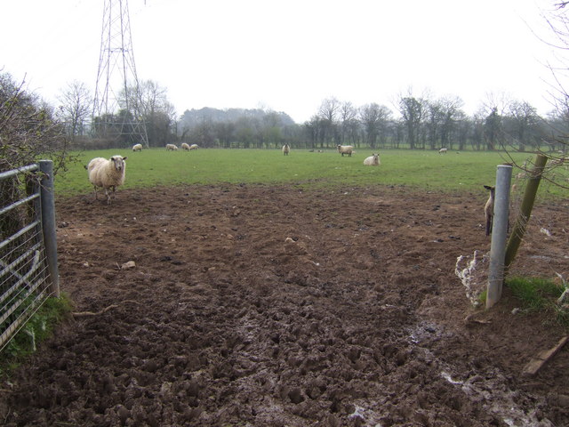
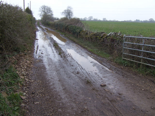
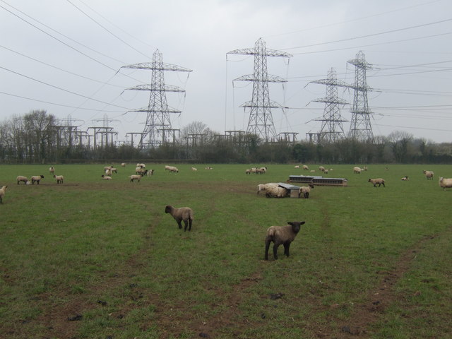
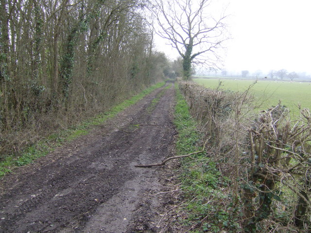
The surrounding rural areas of Iron Acton are mainly used for agriculture, with a mix of farmland and grazing pastures. The countryside offers opportunities for outdoor activities and leisure pursuits, such as walking, cycling, and horse riding.

Overall, Iron Acton is a tranquil and picturesque rural parish with a rich heritage and a strong sense of community. It offers a peaceful retreat from the nearby urban areas while still providing essential amenities and a range of recreational opportunities for its residents.

If you have any feedback on the listing, please let us know in the comments section below.
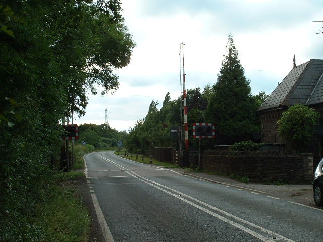
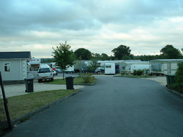
Iron Acton Images

Images are sourced within 2km of 51.556177/-2.466174 or Grid Reference ST6784. Thanks to Geograph Open Source API. All images are credited.

Latteridge Cottages at Lateridge village near centre of grid square
Latteridge
Cottages at Lateridge village near centre of grid square
Substation This electricity sub station may be well hidden by the trees but the pylons (dozens of them) from at least 9 incoming power lines are a feature of the countryside over a wide area.
Substation
This electricity sub station may be well hidden by the trees but the pylons (dozens of them) from at least 9 incoming power lines are a feature of the countryside over a wide area.
Towards Tubbs Bottom Looking East from the centre of the square across open fields towards Tubbs Bottom
Towards Tubbs Bottom
Looking East from the centre of the square across open fields towards Tubbs Bottom
Iron Acton Looking East down the High Street towards the church
Iron Acton
Looking East down the High Street towards the church
Acton Crossing & Cottage Looking west near centre of square
Acton Crossing & Cottage
Looking west near centre of square
Tubbs Bottom Looking SW across the square towards Tubbs Bottom.
Tubbs Bottom
Looking SW across the square towards Tubbs Bottom.
Iron Acton Church Very near, but just inside the western gridline for this square.
Iron Acton Church
Very near, but just inside the western gridline for this square.
Oaklands Business park looking East to the entrance, situated in the south of the square.
Oaklands Business park
looking East to the entrance, situated in the south of the square.
Engine Common Caravan Park East of the lane towards the NE corner of the square
Engine Common Caravan Park
East of the lane towards the NE corner of the square
High voltage power lines, near Iron Acton, Bristol There isn't much to say about these that hasn't been said before. They do have a certain presence.
High voltage power lines, near Iron Acton, Bristol
There isn't much to say about these that hasn't been said before. They do have a certain presence.
Laddenside Farm, Bristol Road, Iron Acton, Bristol The farm is situated between two high voltage power line routes. The one visible towards the right of the image is at the east of the square or the next one north.
Laddenside Farm, Bristol Road, Iron Acton, Bristol
The farm is situated between two high voltage power line routes. The one visible towards the right of the image is at the east of the square or the next one north.
Farmland, Rangeworthy, Bristol The farm buildings to the right of centre are part of Mudgedown Farm in the next square north at ST684851.
Farmland, Rangeworthy, Bristol
The farm buildings to the right of centre are part of Mudgedown Farm in the next square north at ST684851.
Patch Elm Lane Eponymous farm is just along on the right after the cottages.
Patch Elm Lane
Eponymous farm is just along on the right after the cottages.
Ruin at Lark's Farm Viewed across the ubiquitous sheep pasture.
Ruin at Lark's Farm
Viewed across the ubiquitous sheep pasture.
Muddy gateway Looking east into the sheep pasture north of Lark's Farm.
Muddy gateway
Looking east into the sheep pasture north of Lark's Farm.
Muddy track to Patch Elm Farm
Sheep and substation Near Lark's Farm,Latteridge.
Sheep and substation
Near Lark's Farm,Latteridge.
Track at the end of Lark's Lane This goes along the northern edge of the National Grid land.
Track at the end of Lark's Lane
This goes along the northern edge of the National Grid land.
Show me another place!

Iron Acton is located at Grid Ref: ST6784 (Lat: 51.556177, Lng: -2.466174)

Unitary Authority: South Gloucestershire

Police Authority: Avon and Somerset

What 3 Words

///breathed.imply.branch. Near Yate, Gloucestershire

Nearby Locations

Acton Court Iron Acton

Related Wikis

Acton Court

Acton Court is the historic manor house of the manor of Iron Acton in Gloucestershire, England. It is a grade I listed building of Tudor architecture and...

Iron Acton

Iron Acton is a village, civil parish and former manor in South Gloucestershire, England. The village is about 2 miles (3 km) west of Yate and about 9...

Iron Acton railway station

Iron Acton station opened on 2 September 1872, with the start of services on the Midland Railway branch from Yate to Thornbury. The station was designed...

Latteridge

Latteridge is a hamlet in South Gloucestershire, England. It lies on the B4059 road north of Iron Acton, and south of Rudgeway and Earthcott. The hamlet...

Rangeworthy

Rangeworthy is a semi-rural farming village in South Gloucestershire, England, nearby communities include Falfield and Charfield. The village population...

Thornbury and Yate (UK Parliament constituency)

Thornbury and Yate is a constituency represented in the House of Commons of the UK Parliament since the 2015 election by Luke Hall, a member of the Conservative...

Frampton Cotterell

Frampton Cotterell is a large village and parish, in South Gloucestershire, South West England, on the River Frome. The village is contiguous with Winterbourne...

Yate Town F.C.

Yate Town Football Club is a football club based in Yate, Gloucestershire, England. They are currently members of the Southern League Division One South...

Nearby Amenities

Located within 500m of 51.556177,-2.466174
Traffic Signals
Lat/Long: 51.5525064/-2.4669538
Crossing Barrier: full
Railway: level_crossing
Lat/Long: 51.5577243/-2.4713088
Entrance: yes
Lat/Long: 51.5557024/-2.4671043
Traffic Signals
Traffic Signals: level_crossing
Traffic Signals Direction: backward
Lat/Long: 51.5577142/-2.4712323
Traffic Signals
Traffic Signals: level_crossing
Traffic Signals Direction: forward
Lat/Long: 51.5577329/-2.4713648
Barrier: stile
Material: stone
Stile: stepover
Lat/Long: 51.5518625/-2.4662092
The data included in this document is from www.openstreetmap.org. The data is made available under ODbL.

Have you been to Iron Acton?

Leave your review of Iron Acton below (or comments, questions and feedback).