Irnham
Civil Parish in Lincolnshire South Kesteven
England
Irnham

Irnham is a civil parish located in the county of Lincolnshire, England. Situated approximately 10 miles east of Grantham, it covers an area of about 6 square miles. The village of Irnham itself is small, with a population of around 200 people.
The area has a rich history, dating back to the Domesday Book of 1086, where it was recorded as "Hirneham." The village is known for its picturesque countryside and charming stone buildings, many of which date back several centuries. The centerpiece of Irnham is the Grade I listed Irnham Hall, a stately home surrounded by beautifully landscaped gardens.
Irnham is predominantly an agricultural community, with farming playing a significant role in the local economy. The fertile land surrounding the village is used for growing crops and rearing livestock. The rolling hills and open fields provide a scenic backdrop for countryside walks and outdoor activities.
Despite its small size, Irnham has a strong sense of community. The village has a primary school, a church, and a pub, which serves as a meeting place for locals and visitors alike. The annual Irnham Hall Open Gardens event attracts visitors from far and wide, allowing them to explore the stunning gardens and enjoy various activities and refreshments.
Overall, Irnham is a tranquil and picturesque civil parish, offering a peaceful retreat in the heart of Lincolnshire's countryside.
If you have any feedback on the listing, please let us know in the comments section below.
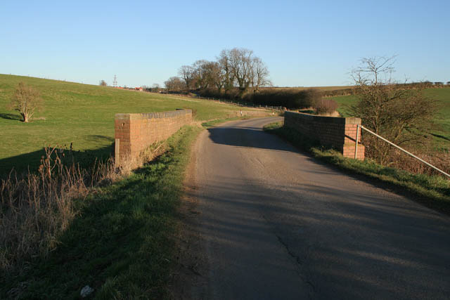
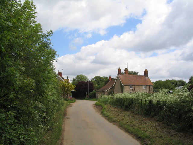
Irnham Images
Images are sourced within 2km of 52.82519/-0.465793 or Grid Reference TF0326. Thanks to Geograph Open Source API. All images are credited.


Irnham is located at Grid Ref: TF0326 (Lat: 52.82519, Lng: -0.465793)
Administrative County: Lincolnshire
District: South Kesteven
Police Authority: Lincolnshire
What 3 Words
///debater.skims.crabmeat. Near Corby Glen, Lincolnshire
Nearby Locations
Related Wikis

Irnham
Irnham is a village and civil parish in South Kesteven, Lincolnshire, England. It is situated approximately 10 miles (16 km) south-east from Grantham...

Hawthorpe, Lincolnshire
Hawthorpe is a hamlet in the South Kesteven district of Lincolnshire, England, and the civil parish of Irnham, Bulby and Hawthorpe. It is west from the...

Bulby
Bulby is a hamlet in the South Kesteven district of Lincolnshire, England, and in the civil parish of Irnham, Bulby and Hawthorpe. The village is situated...

Keisby
Keisby is a small hamlet in the district of South Kesteven, in Lincolnshire, England. It is situated 6 miles (10 km) north-west from Bourne and 9 miles...
Northampton Sand Formation
The Northampton Sand Formation, sometimes called the Northamptonshire Sand, is a Middle Jurassic geological formation which is placed within the Inferior...
Elsthorpe
Elsthorpe is a hamlet in the South Kesteven district of Lincolnshire, England. It is situated 5 miles (8 km) north-west from the town of Bourne, and in...

St John the Evangelist's Church, Corby Glen
The Church of St John the Evangelist is a Grade I listed Church of England parish church dedicated to John the Evangelist, in Corby Glen, Lincolnshire...
South Kesteven
South Kesteven is a local government district in Lincolnshire, England, forming part of the traditional Kesteven division of the county. Its council is...
Nearby Amenities
Located within 500m of 52.82519,-0.465793Have you been to Irnham?
Leave your review of Irnham below (or comments, questions and feedback).