Acton Court

Heritage Site in Gloucestershire

England

Acton Court

Latteridge Cottages at Lateridge village near centre of grid square
Latteridge Credit: Chris Shaw

Acton Court, located in Iron Acton, Gloucestershire, is a historic Tudor manor house that holds significant cultural and architectural importance. Originally built in the late 15th century, Acton Court stands as one of the most outstanding examples of Tudor architecture in England.

The manor house features a unique, symmetrical design with a central courtyard and a grand hall at its core. The hall is adorned with stunningly intricate wooden paneling, showcasing the skilled craftsmanship of the time. Acton Court is also renowned for its impressive array of original stained glass windows, which have survived remarkably intact over the centuries.

The estate was once a favored residence of Henry VIII and his second wife, Anne Boleyn. It is said that the couple visited Acton Court during their honeymoon in 1535. The Great Chamber, where they stayed, boasts a stunning fireplace and ceiling adorned with impressive carvings.

In addition to its historical significance, Acton Court is known for its beautiful gardens and surrounding landscape. The estate features a walled garden, complete with a sunken garden and a knot garden, which have been meticulously restored to their original Tudor design.

Acton Court is open to the public, offering visitors the opportunity to explore its rich history and immerse themselves in the ambiance of Tudor England. The site also hosts various events and educational programs, allowing visitors to learn more about the manor house's past and the Tudor era as a whole.

If you have any feedback on the listing, please let us know in the comments section below.
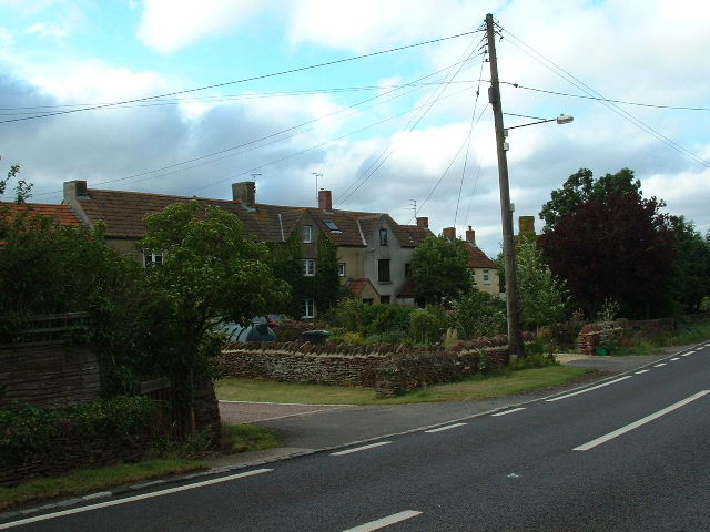
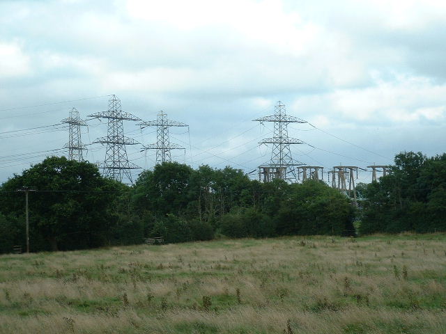
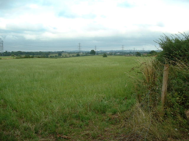
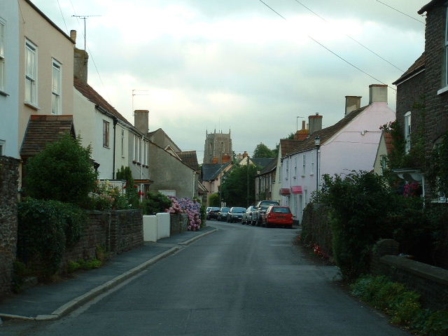
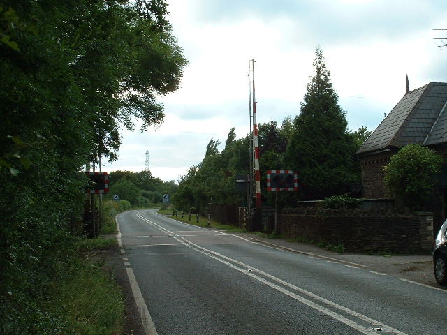
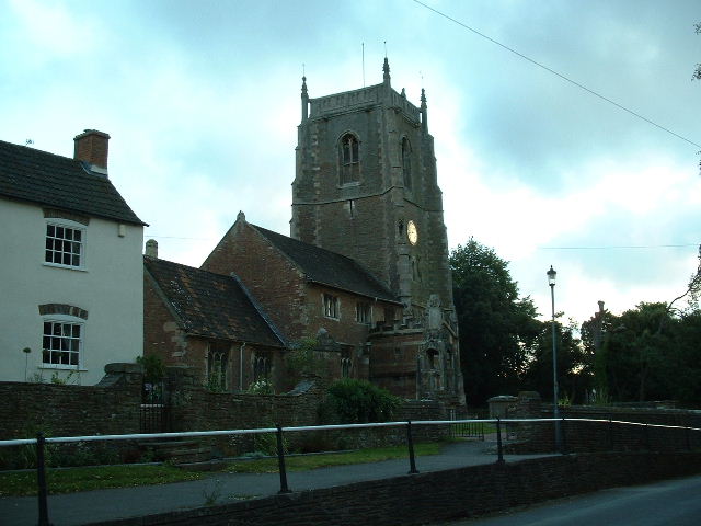
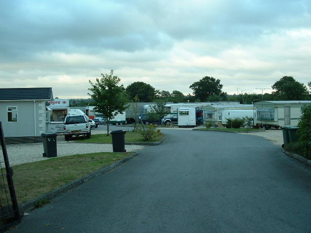
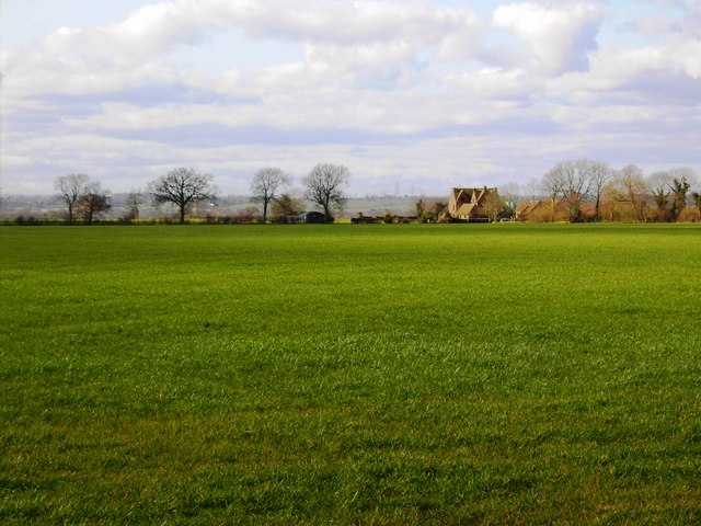
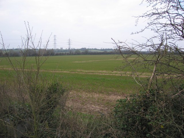
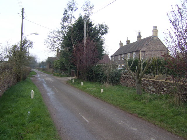
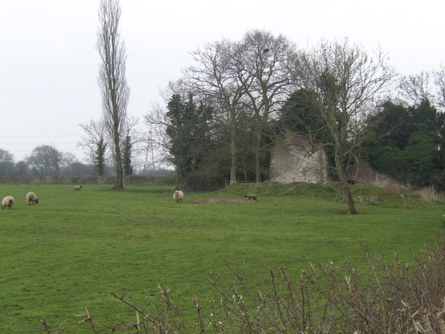
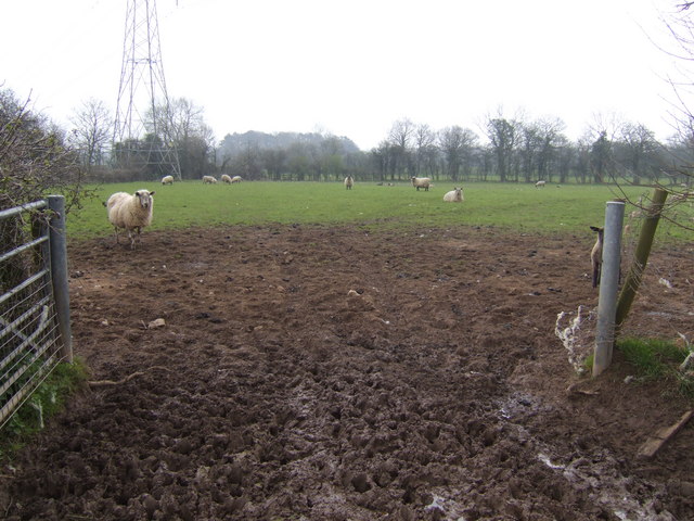
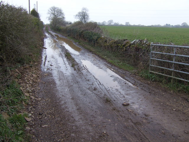
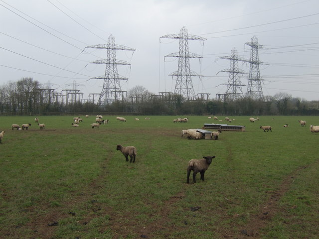
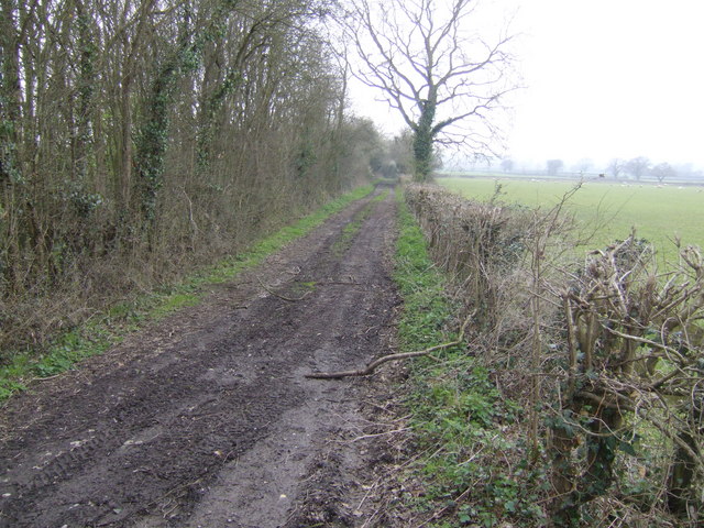
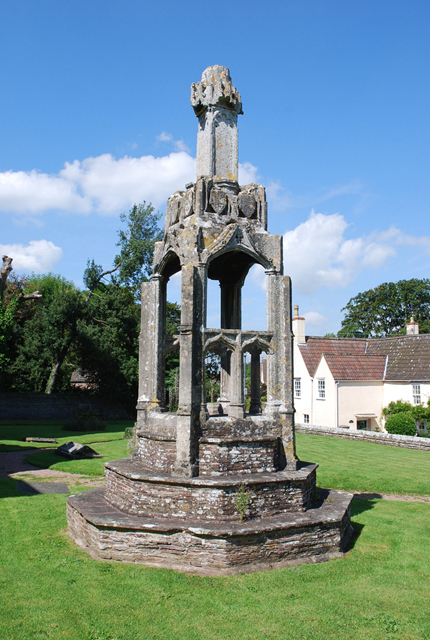
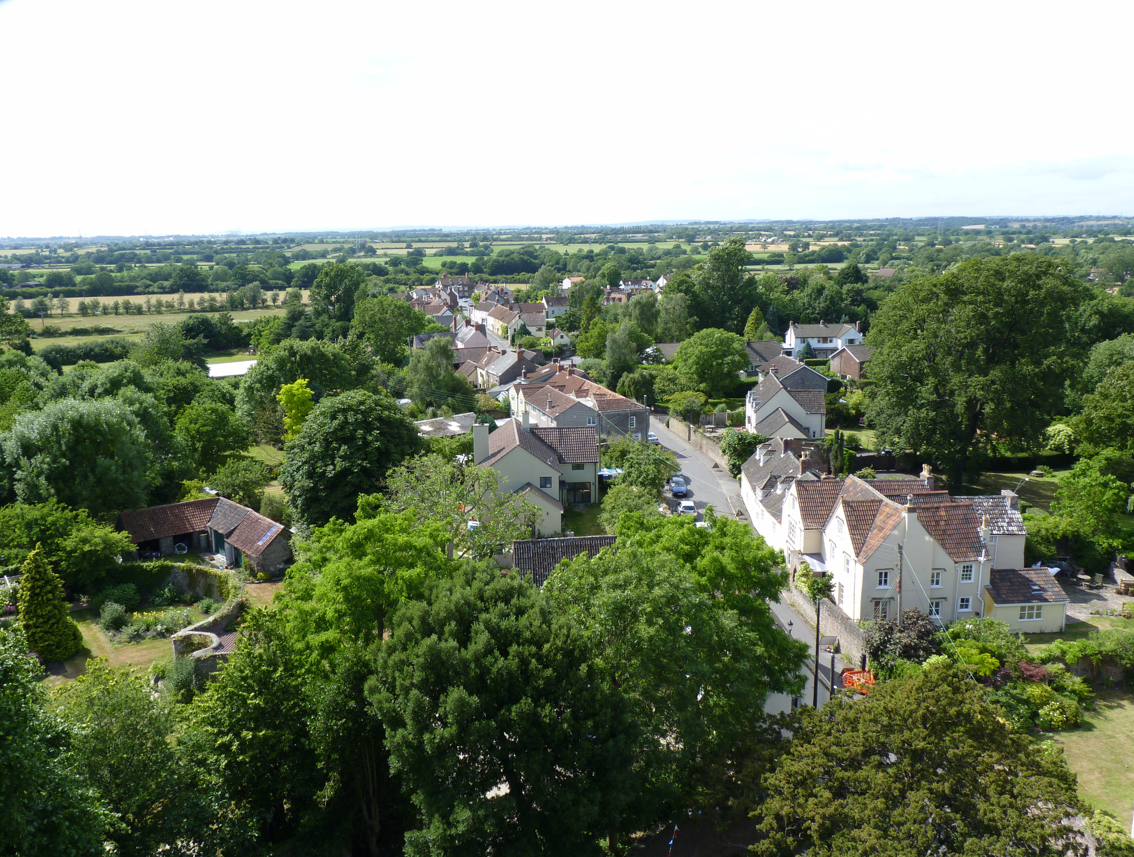
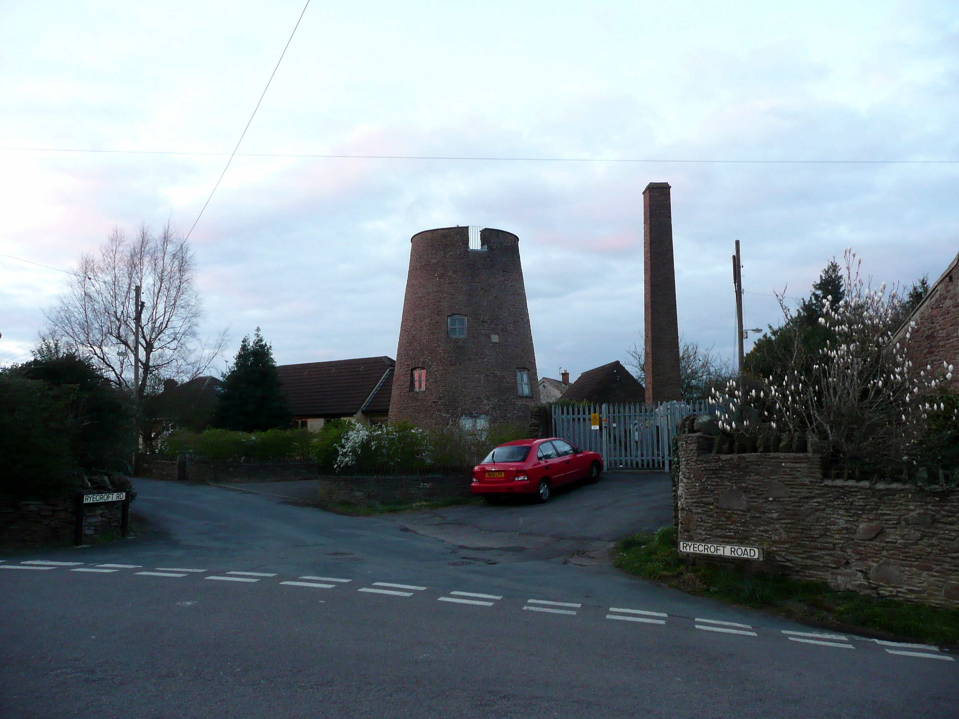
Acton Court Images

Images are sourced within 2km of 51.558/-2.468 or Grid Reference ST6784. Thanks to Geograph Open Source API. All images are credited.

Latteridge Cottages at Lateridge village near centre of grid square
Latteridge
Cottages at Lateridge village near centre of grid square
Substation This electricity sub station may be well hidden by the trees but the pylons (dozens of them) from at least 9 incoming power lines are a feature of the countryside over a wide area.
Substation
This electricity sub station may be well hidden by the trees but the pylons (dozens of them) from at least 9 incoming power lines are a feature of the countryside over a wide area.
Towards Tubbs Bottom Looking East from the centre of the square across open fields towards Tubbs Bottom
Towards Tubbs Bottom
Looking East from the centre of the square across open fields towards Tubbs Bottom
Iron Acton Looking East down the High Street towards the church
Iron Acton
Looking East down the High Street towards the church
Acton Crossing & Cottage Looking west near centre of square
Acton Crossing & Cottage
Looking west near centre of square
Iron Acton Church Very near, but just inside the western gridline for this square.
Iron Acton Church
Very near, but just inside the western gridline for this square.
Engine Common Caravan Park East of the lane towards the NE corner of the square
Engine Common Caravan Park
East of the lane towards the NE corner of the square
High voltage power lines, near Iron Acton, Bristol There isn't much to say about these that hasn't been said before. They do have a certain presence.
High voltage power lines, near Iron Acton, Bristol
There isn't much to say about these that hasn't been said before. They do have a certain presence.
Laddenside Farm, Bristol Road, Iron Acton, Bristol The farm is situated between two high voltage power line routes. The one visible towards the right of the image is at the east of the square or the next one north.
Laddenside Farm, Bristol Road, Iron Acton, Bristol
The farm is situated between two high voltage power line routes. The one visible towards the right of the image is at the east of the square or the next one north.
Farmland, Rangeworthy, Bristol The farm buildings to the right of centre are part of Mudgedown Farm in the next square north at ST684851.
Farmland, Rangeworthy, Bristol
The farm buildings to the right of centre are part of Mudgedown Farm in the next square north at ST684851.
Fields and Pylons I set out today to photograph the last 6 squares in this patch and realise now why nobody else had done them. I'm getting tired of yet more fields but; if that's all that's there... Kites Hill is in the background beyond the pylons.
Fields and Pylons
I set out today to photograph the last 6 squares in this patch and realise now why nobody else had done them. I'm getting tired of yet more fields but; if that's all that's there... Kites Hill is in the background beyond the pylons.
Patch Elm Lane Eponymous farm is just along on the right after the cottages.
Patch Elm Lane
Eponymous farm is just along on the right after the cottages.
Ruin at Lark's Farm Viewed across the ubiquitous sheep pasture.
Ruin at Lark's Farm
Viewed across the ubiquitous sheep pasture.
Muddy gateway Looking east into the sheep pasture north of Lark's Farm.
Muddy gateway
Looking east into the sheep pasture north of Lark's Farm.
Muddy track to Patch Elm Farm
Sheep and substation Near Lark's Farm,Latteridge.
Sheep and substation
Near Lark's Farm,Latteridge.
Track at the end of Lark's Lane This goes along the northern edge of the National Grid land.
Track at the end of Lark's Lane
This goes along the northern edge of the National Grid land.
The Preaching Cross, St James The Less, Iron Acton
Show me another place!

Acton Court is located at Grid Ref: ST6784 (Lat: 51.558, Lng: -2.468)

Unitary Authority: South Gloucestershire

Police Authority: Avon and Somerset

What 3 Words

///vibe.grad.mildest. Near Yate, Gloucestershire

Nearby Locations

Acton Court Iron Acton

Related Wikis

Nearby Amenities

Located within 500m of 51.558,-2.468
Crossing Barrier: full
Railway: level_crossing
Lat/Long: 51.5577243/-2.4713088
Entrance: yes
Lat/Long: 51.5557024/-2.4671043
Traffic Signals
Traffic Signals: level_crossing
Traffic Signals Direction: backward
Lat/Long: 51.5577142/-2.4712323
Traffic Signals
Traffic Signals: level_crossing
Traffic Signals Direction: forward
Lat/Long: 51.5577329/-2.4713648
The data included in this document is from www.openstreetmap.org. The data is made available under ODbL.

Have you been to Acton Court?

Leave your review of Acton Court below (or comments, questions and feedback).