Hunshelf

Civil Parish in Yorkshire Barnsley

England

Hunshelf

The outflow at Underbank Reservoir
The outflow at Underbank Reservoir Credit: Dave Pickersgill

Hunshelf is a civil parish located in the metropolitan borough of Barnsley, South Yorkshire, England. It is situated in the picturesque Pennine Hills, approximately 10 miles northeast of the town of Barnsley.

The parish covers an area of about 8 square miles and is primarily a rural area with a scattering of small settlements. It is bordered by the parishes of Stocksbridge and Bradfield to the west, Penistone to the south, and Wortley to the east.

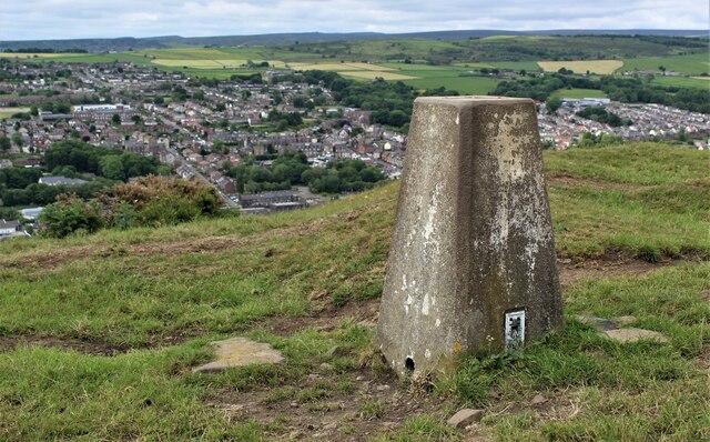
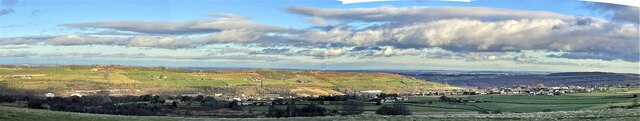
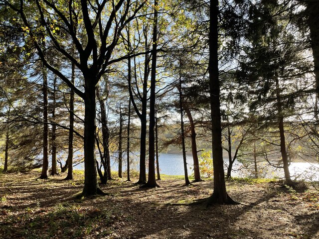
Hunshelf is known for its stunning natural beauty, with rolling hills, lush green pastures, and charming countryside landscapes. The area is dotted with traditional stone-built farmhouses and cottages, adding to its rustic charm.

The parish is also home to several notable landmarks and attractions. One such attraction is the Hunshelf Bank Wind Farm, which consists of a cluster of wind turbines generating renewable energy. The wind farm not only contributes to sustainable energy production but also provides a unique visual aspect to the landscape.

Hunshelf has a small population, with residents mainly engaged in agriculture and other rural occupations. The parish does not have its own local government but is administered by the Barnsley Metropolitan Borough Council.

Overall, Hunshelf offers a tranquil retreat for nature lovers and those seeking a peaceful countryside experience. Its idyllic scenery and rural charm make it a delightful destination for visitors and a cherished home for its residents.

If you have any feedback on the listing, please let us know in the comments section below.
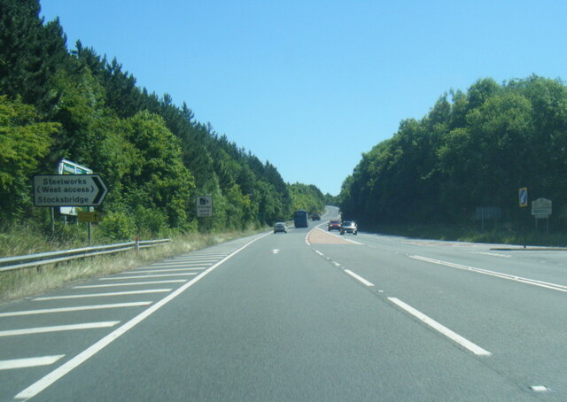
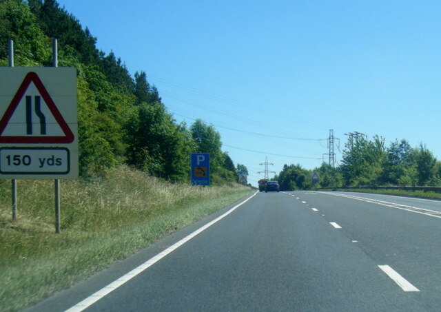
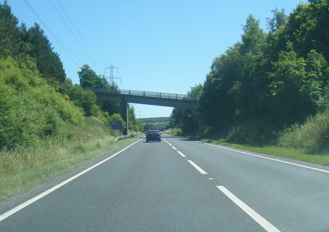
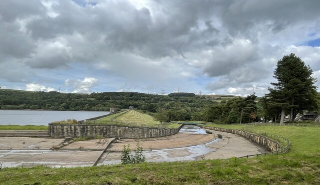
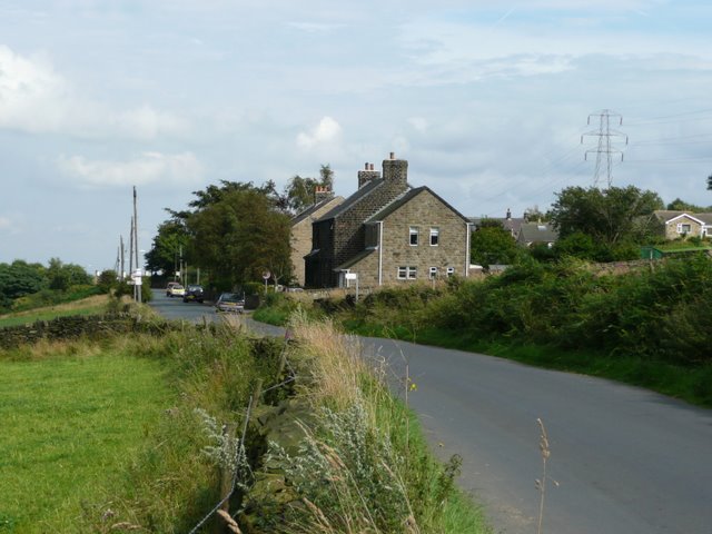
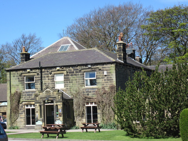
Hunshelf Images

Images are sourced within 2km of 53.500891/-1.606474 or Grid Reference SE2600. Thanks to Geograph Open Source API. All images are credited.

The outflow at Underbank Reservoir
Hunshelf Bank Trig Point
Stocksbridge and Hunshelf Bank Stocksbridge and Hunshelf Bank as seen from Heads Lane.
Stocksbridge and Hunshelf Bank
Stocksbridge and Hunshelf Bank as seen from Heads Lane.
Langsett bridge Bridge to Langsett reservoir
Langsett bridge
Bridge to Langsett reservoir
A616 lay-by near Sheephouse Wood
A616 Stocksbridge Bypass
A616 Stocksbridge Bypass near Crimbles Farm
A616 nears Pea Royd Lane overbridge
North shore of Underbank Reservoir
Underbank Reservoir: dam wall and run-off
Old milestone On the B6088 Manchester Road,  Stocksbridge is another West Riding CC milestone surviving from when it was set up in 1893/94.   But in need of refurbishment.  The 'GREEN' on the top relates to what is now called Green Farm Hamlet to the south on Smithy Moor.   Names as long as Huddersfield could not easily be cast horizontally on the side panel so all the place names were set at an angle.   The pavement has been tarmacked to cover the 2 fixing bolts at the base of the attachment.   Grade II listed 1286340.
Old milestone
On the B6088 Manchester Road, Stocksbridge is another West Riding CC milestone surviving from when it was set up in 1893/94. But in need of refurbishment. The 'GREEN' on the top relates to what is now called Green Farm Hamlet to the south on Smithy Moor. Names as long as Huddersfield could not easily be cast horizontally on the side panel so all the place names were set at an angle. The pavement has been tarmacked to cover the 2 fixing bolts at the base of the attachment. Grade II listed 1286340.
Old milestone This shows the position of the Sheffield 10 milestone outside the fire station in Stocksbridge on the B6088.   The 15.5cm deep backing stone to which the casting made at the Brayshaw & Booth foundry in Liversedge is fixed, can be seen.
Grade II listed 1286340.
Old milestone
This shows the position of the Sheffield 10 milestone outside the fire station in Stocksbridge on the B6088. The 15.5cm deep backing stone to which the casting made at the Brayshaw & Booth foundry in Liversedge is fixed, can be seen. Grade II listed 1286340.
The run-off at Underbank Reservoir The run-off at Underbank Reservoir, seen from Underbank Lane.
The run-off at Underbank Reservoir
The run-off at Underbank Reservoir, seen from Underbank Lane.
Farm track (footpath) off Green Moor Road
Green Moor Road Heading west.
Green Moor Road
Heading west.
Farmland north of Green Moor Road
Farmland and pylon off Hunshelf Hall Lane
Field entrance off Hunshelf Hall Lane
Show me another place!

Hunshelf is located at Grid Ref: SE2600 (Lat: 53.500891, Lng: -1.606474)

Division: West Riding

Administrative County: South Yorkshire

District: Barnsley

Police Authority: South Yorkshire

What 3 Words

///drilling.steadier.drainage. Near Stocksbridge, South Yorkshire

Related Wikis

Penistone and Stocksbridge (UK Parliament constituency)

Penistone and Stocksbridge is a constituency in South Yorkshire represented in the House of Commons of the UK Parliament since 2019 by Miriam Cates, a...

Hunshelf

Hunshelf is a civil parish in the Metropolitan Borough of Barnsley. At the 2001 census it had a population of 324, reducing to 246 at the 2011 Census...

Oxspring railway station

Oxspring railway station was a short lived station built by the Sheffield, Ashton-under-Lyne and Manchester Railway to serve the village of Oxspring, South...

Oxspring

Oxspring is a village and civil parish in the Metropolitan Borough of Barnsley in South Yorkshire, England. At the 2001 census it had a population of...

Thurgoland Tunnel

Thurgoland Tunnel is a double-bore abandoned railway tunnel between Penistone and Wortley. Its total length is 924 feet (282 m). The original tunnel, a...

Stocksbridge railway station

Stocksbridge was a small railway halt, the terminus of, and only railway station on the Stocksbridge Railway. The platform was a simple wooden affair,...

Cubley, South Yorkshire

Cubley is a village in the metropolitan borough of Barnsley in South Yorkshire, England. It is about a mile to the south of Penistone town centre and essentially...

Stocksbridge High School

Stocksbridge High School is a mixed secondary school for 11 to 16-year-olds, in the town of Stocksbridge, South Yorkshire, England. In December 2017 the...

Nearby Amenities

Located within 500m of 53.500891,-1.606474
Power: tower
Lat/Long: 53.5017865/-1.6052436
Power: tower
Lat/Long: 53.504554/-1.60682
Design: barrel
Power: tower
Lat/Long: 53.4980058/-1.6045397
Design: barrel
Power: tower
Lat/Long: 53.5012268/-1.6035542
Design: barrel
Power: tower
Lat/Long: 53.4975319/-1.6071704
Design: barrel
Power: tower
Lat/Long: 53.5039841/-1.6050978
Power: pole
Lat/Long: 53.4970933/-1.6041114
Power: pole
Lat/Long: 53.4971587/-1.6032397
Power: pole
Lat/Long: 53.4973198/-1.604503
Snowden Hill
Place: locality
Lat/Long: 53.5026928/-1.6050932
Power: pole
Lat/Long: 53.4978887/-1.600952
Power: pole
Lat/Long: 53.4975119/-1.6025624
Power: pole
Lat/Long: 53.5039172/-1.6110965
Power: pole
Lat/Long: 53.501488/-1.6094543
Power: pole
Lat/Long: 53.5002965/-1.6080705
Power: pole
Lat/Long: 53.4990565/-1.606577
Power: pole
Lat/Long: 53.4981281/-1.605455
Barrier: stile
Lat/Long: 53.5015537/-1.6136137
Barrier: stile
Lat/Long: 53.5004749/-1.6124587
Barrier: stile
Lat/Long: 53.4979909/-1.608883
Barrier: stile
Lat/Long: 53.4989506/-1.6081836
Post Box
Collection Times: Mo-Fr 16:30; Sa 11:15
Post Box Type: lamp
Ref: S36 587
Royal Cypher: EIIR
Royal Cypher Wikidata: Q33102113
Lat/Long: 53.5014343/-1.6077199
Generator Method: wind_turbine
Generator Source: wind
Power: generator
Lat/Long: 53.4988541/-1.6094942
Barrier: stile
Lat/Long: 53.4981645/-1.6036058
Barrier: stile
Lat/Long: 53.500466/-1.6009244
Barrier: stile
Lat/Long: 53.4988575/-1.602504
Barrier: stile
Lat/Long: 53.5008697/-1.6007208
Barrier: stile
Lat/Long: 53.5009472/-1.6006929
Barrier: stile
Lat/Long: 53.4965503/-1.6047478
Barrier: stile
Lat/Long: 53.4973003/-1.604558
Barrier: stile
Lat/Long: 53.4981356/-1.6092647
Historic: milestone
Listed Status: Grade II
Material: gritstone
Note: 6-sided guide stoop.
Wikimedia Commons: File:Hexagonal Guide Stoop near Dyson Cote - geograph.org.uk - 1777323.jpg
Lat/Long: 53.4998619/-1.6127782
The data included in this document is from www.openstreetmap.org. The data is made available under ODbL.

Have you been to Hunshelf?

Leave your review of Hunshelf below (or comments, questions and feedback).