Dean Head

Settlement in Yorkshire

England

Dean Head

Hunshelf Bank Trig Point
Hunshelf Bank Trig Point Credit: Dave Pickersgill

Dean Head is a small village located in the county of Yorkshire, England. Situated in the picturesque Yorkshire Dales, it is nestled amidst rolling hills and lush green landscapes. The village is part of the larger civil parish of Malhamdale and falls within the administrative district of Craven.

With a population of around 200 residents, Dean Head exudes a charming and tranquil ambiance. The village is characterized by its traditional stone-built houses, many of which date back centuries, adding to its historical charm. The architecture is predominantly reflective of the local Yorkshire Dales style, with sturdy walls and slate roofs.

The surrounding countryside offers breathtaking views and ample opportunities for outdoor activities. Dean Head is particularly popular among walkers and hikers, as it serves as a gateway to the stunning Malham Cove and Malham Tarn, both of which are within easy reach. The area is also home to various species of wildlife, making it a haven for nature enthusiasts.

Although small in size, Dean Head is not lacking in amenities. The village boasts a community hall, which serves as a hub for social gatherings and events. In addition, there is a village pub that offers a warm welcome and a place to enjoy a pint after a day of exploring the Dales.

Overall, Dean Head is a quintessential Yorkshire village, offering a peaceful retreat from the hustle and bustle of city life. Its natural beauty and sense of community make it an attractive destination for visitors seeking a taste of rural England.

If you have any feedback on the listing, please let us know in the comments section below.
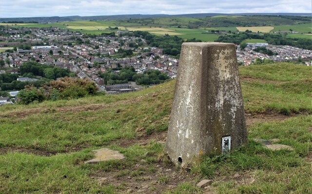
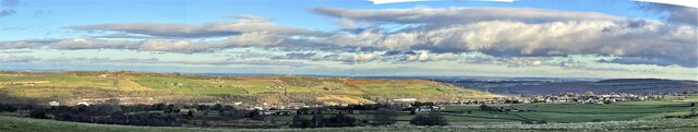
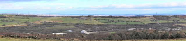
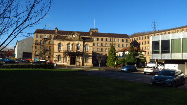
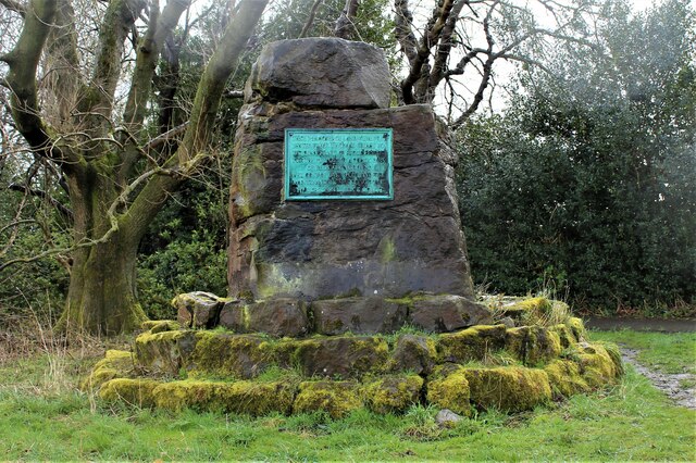
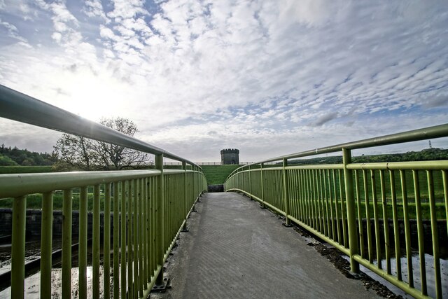
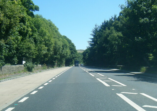
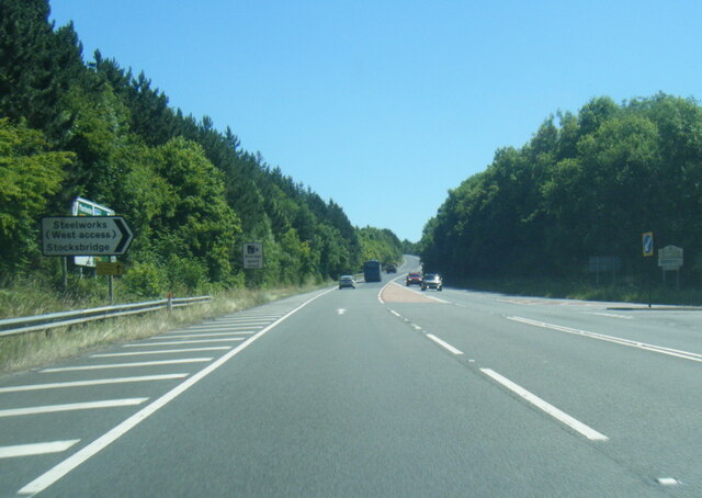
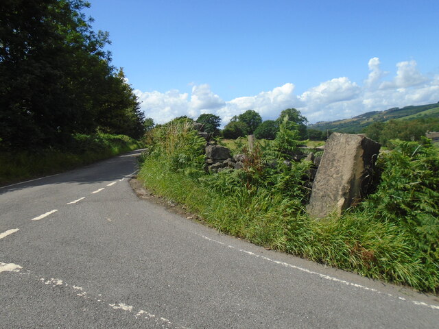
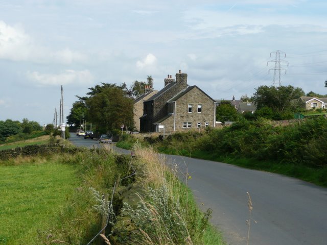
Dean Head Images

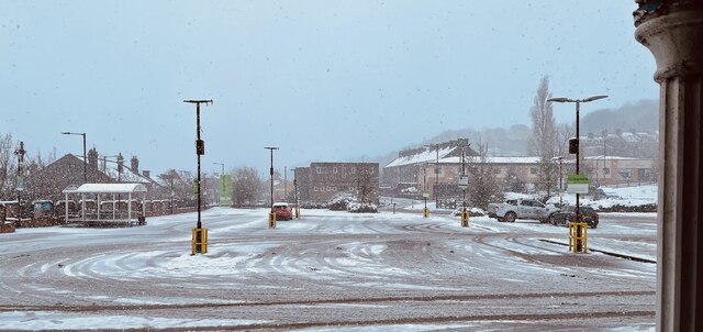
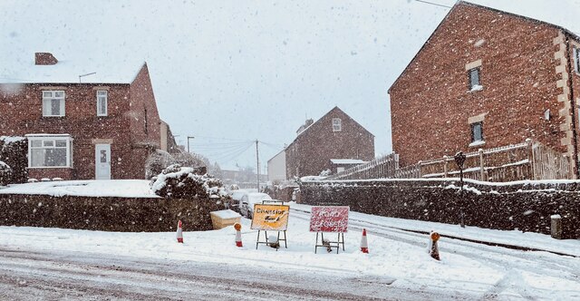
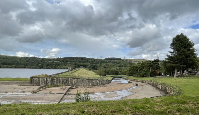
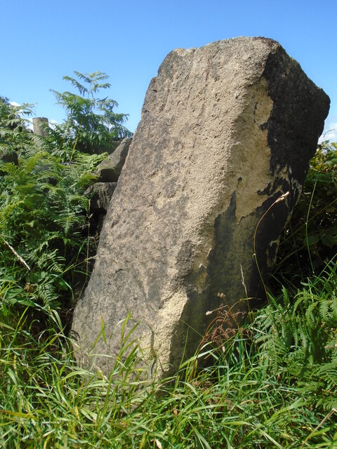
Images are sourced within 2km of 53.496065/-1.6095512 or Grid Reference SE2600. Thanks to Geograph Open Source API. All images are credited.

Hunshelf Bank Trig Point
Stocksbridge and Hunshelf Bank Stocksbridge and Hunshelf Bank as seen from Heads Lane.
Stocksbridge and Hunshelf Bank
Stocksbridge and Hunshelf Bank as seen from Heads Lane.
Stocksbridge nestles in the valley
Samuel Fox Steelworks complex, Stocksbridge
Oxley Park, Stocksbridge
Langsett bridge Bridge to Langsett reservoir
Langsett bridge
Bridge to Langsett reservoir
A616 lay-by near Sheephouse Wood
A616 Stocksbridge Bypass
A616 Stocksbridge Bypass near Crimbles Farm
A616 nears Pea Royd Lane overbridge
Underbank Reservoir The water level is lower than the usual for the time of year.
Underbank Reservoir
The water level is lower than the usual for the time of year.
North shore of Underbank Reservoir
Rainbow over Stocksbridge
Stocksbridge Co-Op car park on a snow day Stocksbridge Co-Op car park at tea-time on a very snowy March day.
Stocksbridge Co-Op car park on a snow day
Stocksbridge Co-Op car park at tea-time on a very snowy March day.
Whitwell Crescent, Stocksbridge
Underbank Reservoir: dam wall and run-off
Old guidestone At the junction of Clay Pits Lane, Machin Lane and Oaks Lane is one of the guidestones set up at the behest of the Justices of the Peace in the early 1700s.   This one has suffered damage from large passing vehicles.  Also it is very weathered.
The south face (left) had Middop.  The east face (right) had Green.  The north face (next to the wall) had Un/ſliven/bridge. ſ = long s.   Unsliven Bridge crosses the River Porter or Little Don in the valley east of the dam wall for Underbank Reservoir.   Green is now a farm about ½ mile to the southeast.  Middop is now Midhope.  It may date from the 1730s.   Grade II listed 1132803.
Old guidestone
At the junction of Clay Pits Lane, Machin Lane and Oaks Lane is one of the guidestones set up at the behest of the Justices of the Peace in the early 1700s. This one has suffered damage from large passing vehicles. Also it is very weathered. The south face (left) had Middop. The east face (right) had Green. The north face (next to the wall) had Un/ſliven/bridge. ſ = long s. Unsliven Bridge crosses the River Porter or Little Don in the valley east of the dam wall for Underbank Reservoir. Green is now a farm about ½ mile to the southeast. Middop is now Midhope. It may date from the 1730s. Grade II listed 1132803.
Old guidestone The road up Clay Pits Lane from the valley, then right onto Oaks Lane towards Midhope.   This stone is about 48cm square and stands 140cm tall.   How was it moved into place nearly 300 years ago?  Grade II listed 1132803.
Old guidestone
The road up Clay Pits Lane from the valley, then right onto Oaks Lane towards Midhope. This stone is about 48cm square and stands 140cm tall. How was it moved into place nearly 300 years ago? Grade II listed 1132803.
Show me another place!

Dean Head is located at Grid Ref: SE2600 (Lat: 53.496065, Lng: -1.6095512)

Division: West Riding

Unitary Authority: Barnsley

Police Authority: South Yorkshire

What 3 Words

///ears.goose.balancing. Near Stocksbridge, South Yorkshire

Related Wikis

Penistone and Stocksbridge (UK Parliament constituency)

Penistone and Stocksbridge is a constituency in South Yorkshire represented in the House of Commons of the UK Parliament since 2019 by Miriam Cates, a...

Hunshelf

Hunshelf is a civil parish in the Metropolitan Borough of Barnsley. At the 2001 census it had a population of 324, reducing to 246 at the 2011 Census...

Stocksbridge railway station

Stocksbridge was a small railway halt, the terminus of, and only railway station on the Stocksbridge Railway. The platform was a simple wooden affair,...

Stocksbridge Town Hall

Stocksbridge Town Hall is a municipal building in Manchester Road in Stocksbridge, a town in South Yorkshire in England. The town hall, which was previously...

Nearby Amenities

Located within 500m of 53.496065,-1.6095512
Design: barrel
Power: tower
Lat/Long: 53.4980058/-1.6045397
Design: barrel
Power: tower
Lat/Long: 53.494636/-1.6110797
Design: barrel
Power: tower
Lat/Long: 53.496792/-1.6111593
Design: barrel
Power: tower
Lat/Long: 53.4975319/-1.6071704
Design: barrel
Power: tower
Lat/Long: 53.4928082/-1.6079043
Design: barrel
Line Management: branch
Power: tower
Lat/Long: 53.4963483/-1.6134812
Power: tower
Lat/Long: 53.4951554/-1.6043207
Power: pole
Lat/Long: 53.4941669/-1.6027113
Power: pole
Lat/Long: 53.4950509/-1.6045299
Power: pole
Lat/Long: 53.4946488/-1.604149
Power: pole
Lat/Long: 53.496455/-1.605077
Power: pole
Lat/Long: 53.4963194/-1.6047332
Power: pole
Lat/Long: 53.4944893/-1.6055223
Power: pole
Lat/Long: 53.4960817/-1.6042616
Power: pole
Lat/Long: 53.4962636/-1.6045942
Power: pole
Lat/Long: 53.495536/-1.6059622
Power: pole
Lat/Long: 53.494569/-1.6062089
Power: pole
Lat/Long: 53.4970933/-1.6041114
Power: pole
Lat/Long: 53.4945403/-1.6058388
Power: pole
Lat/Long: 53.494068/-1.6037627
Power: pole
Lat/Long: 53.4954227/-1.6055947
Power: pole
Lat/Long: 53.4971587/-1.6032397
Power: pole
Lat/Long: 53.495303/-1.6052272
Power: pole
Lat/Long: 53.495589/-1.6061863
Power: pole
Lat/Long: 53.4941127/-1.6042295
Power: pole
Lat/Long: 53.4951435/-1.6047766
Power: pole
Lat/Long: 53.4973198/-1.604503
Power: pole
Lat/Long: 53.4961646/-1.6043582
Power: pole
Lat/Long: 53.4932637/-1.6060262
Power: pole
Lat/Long: 53.4932988/-1.6057044
Power: pole
Lat/Long: 53.4932637/-1.6053879
Power: pole
Lat/Long: 53.4975119/-1.6025624
Power: pole
Lat/Long: 53.5002965/-1.6080705
Power: pole
Lat/Long: 53.4990565/-1.606577
Power: pole
Lat/Long: 53.4981281/-1.605455
Barrier: stile
Lat/Long: 53.4929363/-1.6065456
Barrier: stile
Lat/Long: 53.4979909/-1.608883
Barrier: stile
Lat/Long: 53.4989506/-1.6081836
Generator Method: wind_turbine
Generator Source: wind
Power: generator
Lat/Long: 53.4988541/-1.6094942
Barrier: stile
Lat/Long: 53.4981645/-1.6036058
Barrier: stile
Lat/Long: 53.4935141/-1.6129163
Barrier: stile
Lat/Long: 53.4942897/-1.6109821
Barrier: stile
Lat/Long: 53.4965503/-1.6047478
Barrier: stile
Lat/Long: 53.4933006/-1.6130847
Barrier: stile
Lat/Long: 53.4940269/-1.6119392
Barrier: stile
Lat/Long: 53.4973003/-1.604558
Barrier: stile
Lat/Long: 53.4981356/-1.6092647
Barrier: stile
Lat/Long: 53.495315/-1.6100875
Barrier: stile
Lat/Long: 53.4959639/-1.6109721
Power: switch
Lat/Long: 53.4957975/-1.6055229
Power: switch
Lat/Long: 53.4956562/-1.6051993
Power: switch
Lat/Long: 53.4955071/-1.6040884
Power: switch
Lat/Long: 53.4954517/-1.6039648
Power: transformer
Lat/Long: 53.4954545/-1.6043355
Power: transformer
Lat/Long: 53.4953025/-1.6039585
Power: transformer
Lat/Long: 53.4954943/-1.6037062
Power: switch
Lat/Long: 53.4956464/-1.6053282
Power: switch
Lat/Long: 53.4956826/-1.6054163
Power: switch
Lat/Long: 53.4955828/-1.6051862
Power: switch
Lat/Long: 53.4955431/-1.6051001
Power: switch
Lat/Long: 53.4955079/-1.6050139
Power: switch
Lat/Long: 53.4956298/-1.6049955
Power: switch
Lat/Long: 53.4956681/-1.6050792
Power: switch
Lat/Long: 53.4957355/-1.6052212
Power: switch
Lat/Long: 53.49577/-1.605312
Power: switch
Lat/Long: 53.4958067/-1.6053989
Power: switch
Lat/Long: 53.495907/-1.6056334
Power: switch
Lat/Long: 53.4958186/-1.6057383
Power: switch
Lat/Long: 53.4957821/-1.6056471
Historic: milestone
Listed Status: Grade II
Material: gritstone
Note: 6-sided guide stoop.
Wikimedia Commons: File:Hexagonal Guide Stoop near Dyson Cote - geograph.org.uk - 1777323.jpg
Lat/Long: 53.4998619/-1.6127782
The data included in this document is from www.openstreetmap.org. The data is made available under ODbL.

Have you been to Dean Head?

Leave your review of Dean Head below (or comments, questions and feedback).